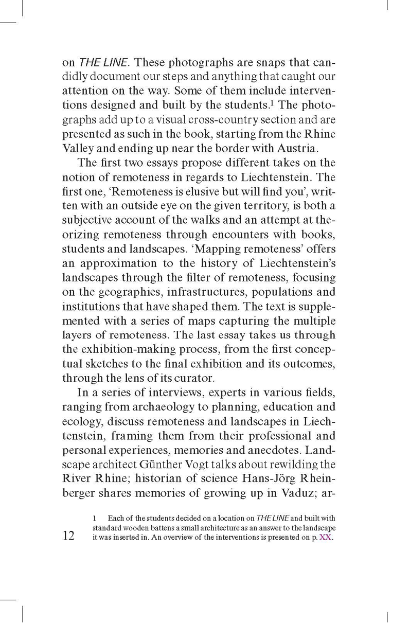
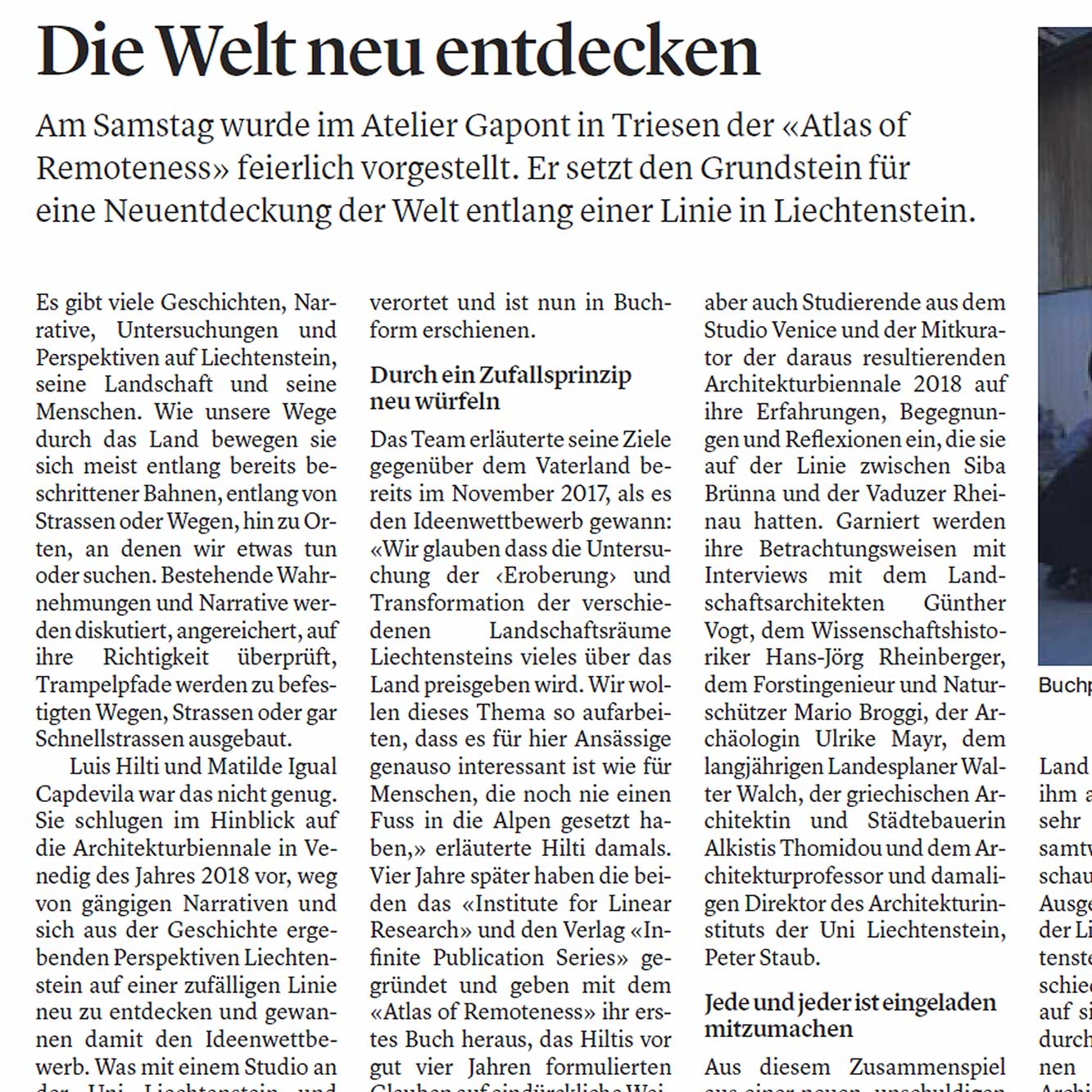
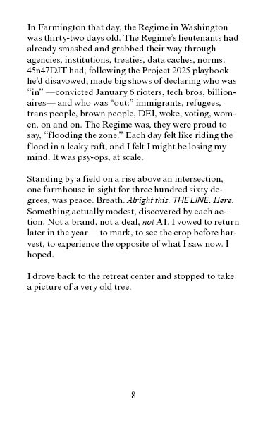
N E W B O O K
N E W B O O K
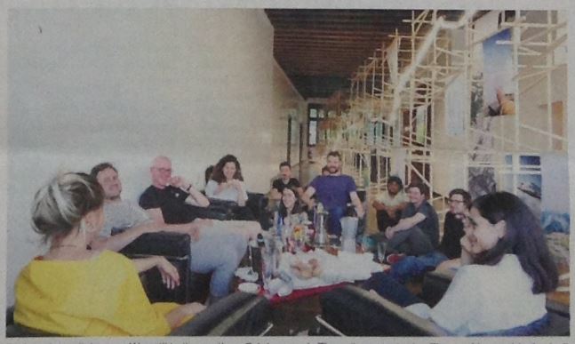
︎ The
Institute for Linear Research (ILR) is a platform for investigating
contemporary landscapes through the lens of remoteness around the Earth.
The
Institute encourages everyone to walk a line and
map it. The Institute offers workshops along Parallels
and it consists of humans who have walked along THE LINE at some point in their lives.
The
findings are continually published through the Infinite Publication Series, as an independent press dedicated to expanding the Atlas of Remoteness.
LINEAR ATLAS
Researching THE LINE is a cooperative endeavour
Send us any info about any place THE LINE goes through
click on the red dot
it will take you to THE LINE
Send us any info about any place THE LINE goes through
click on the red dot
it will take you to THE LINE


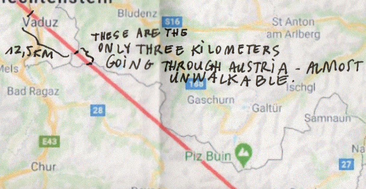
︎︎︎Austria


Italy


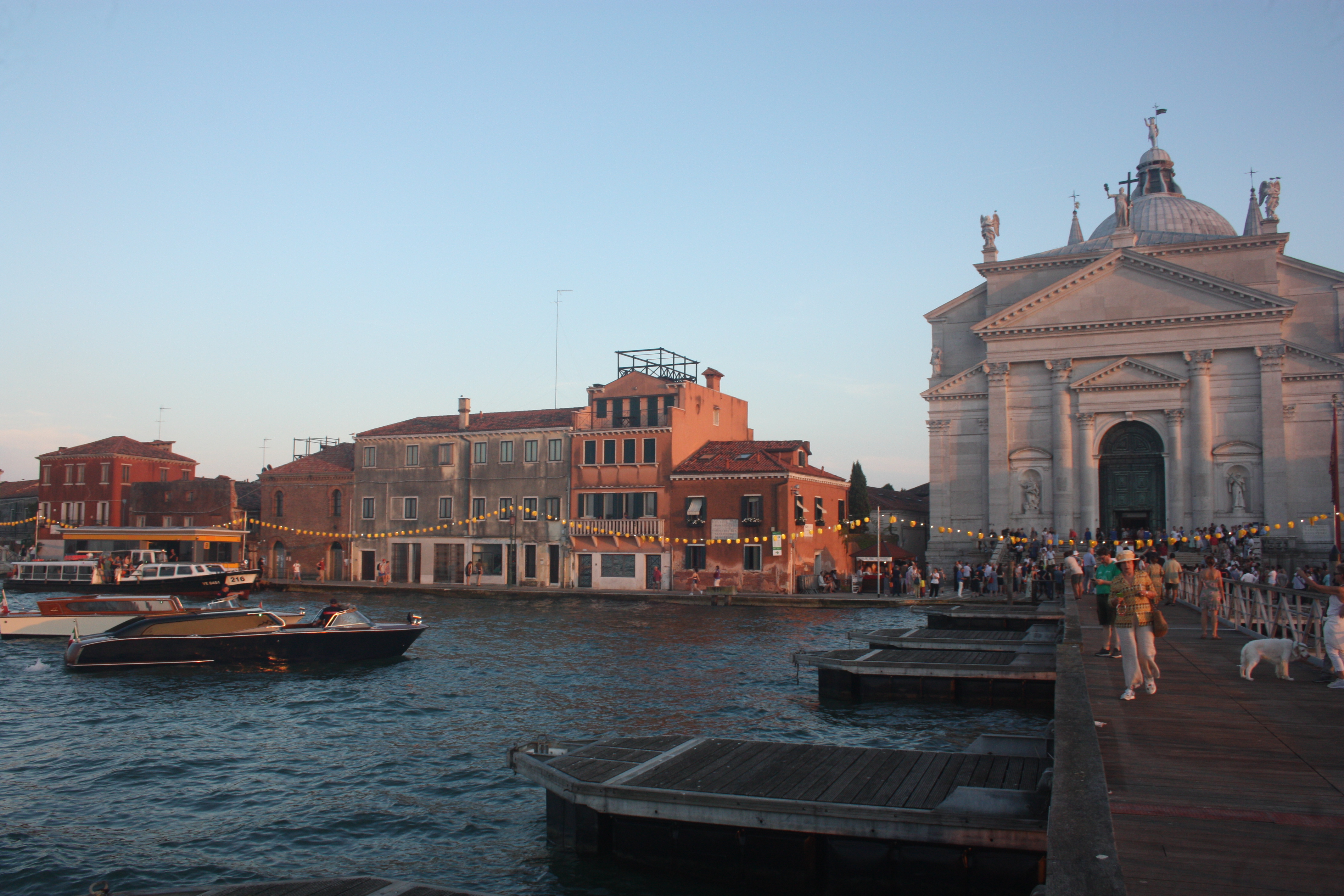

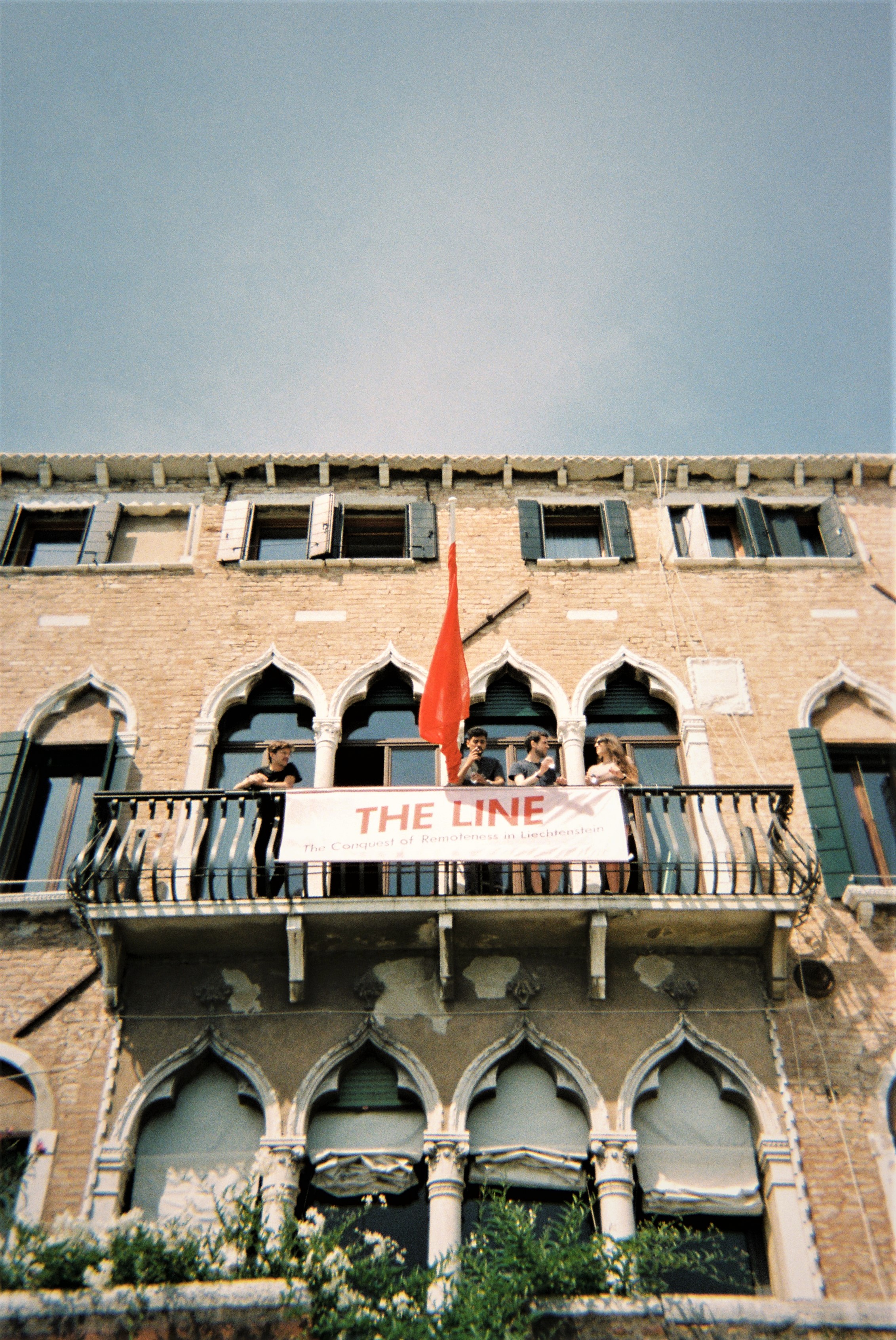
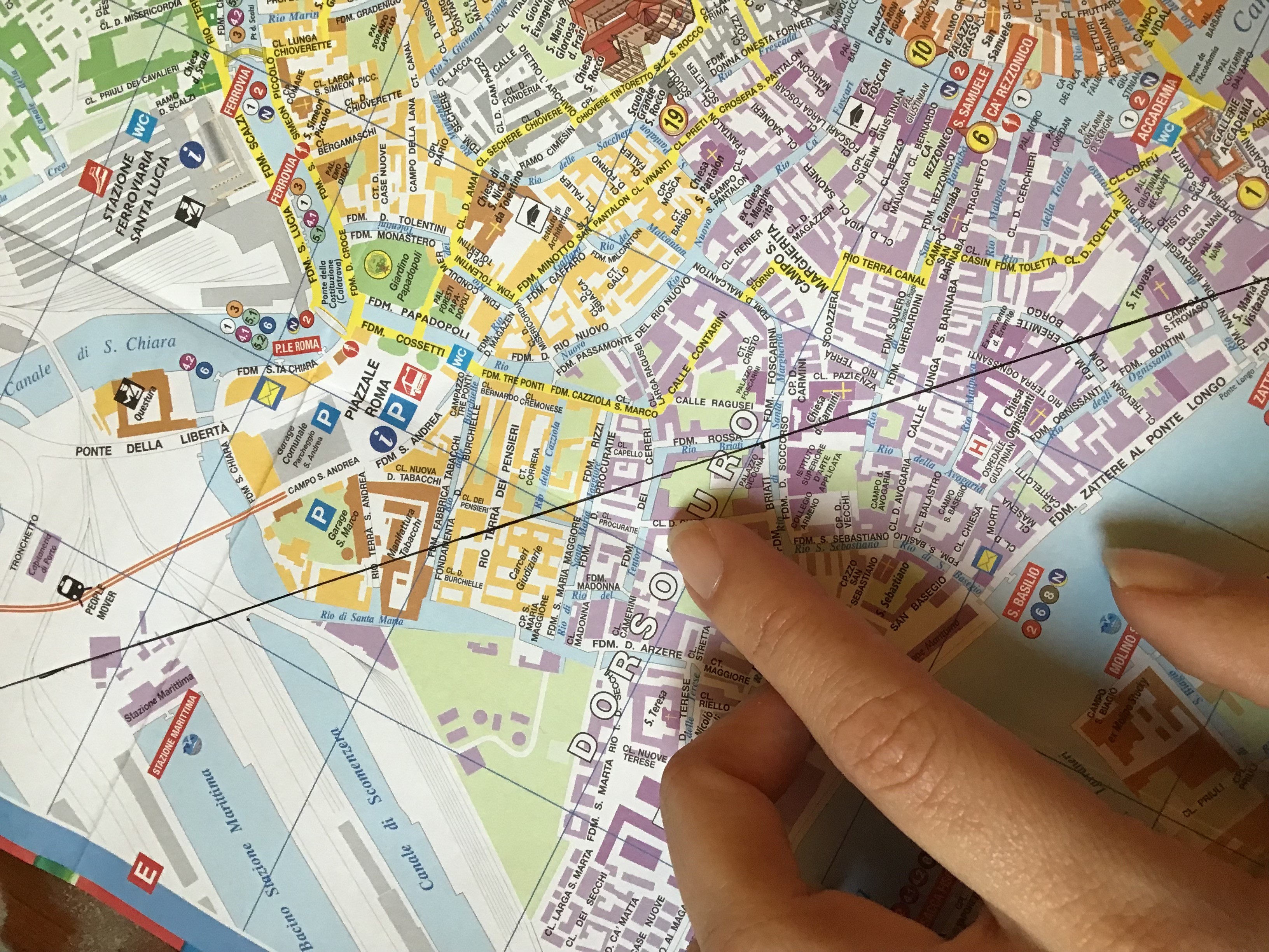
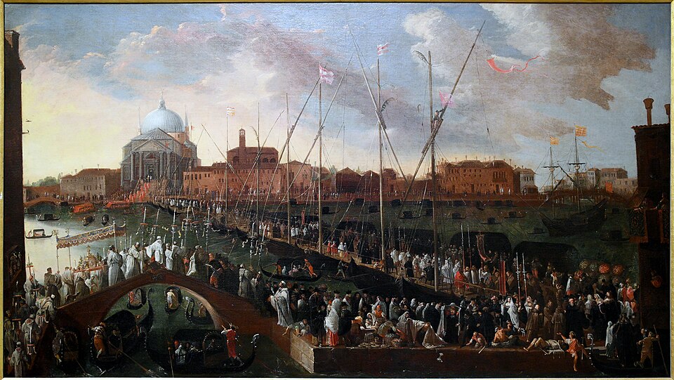
︎︎︎Venice


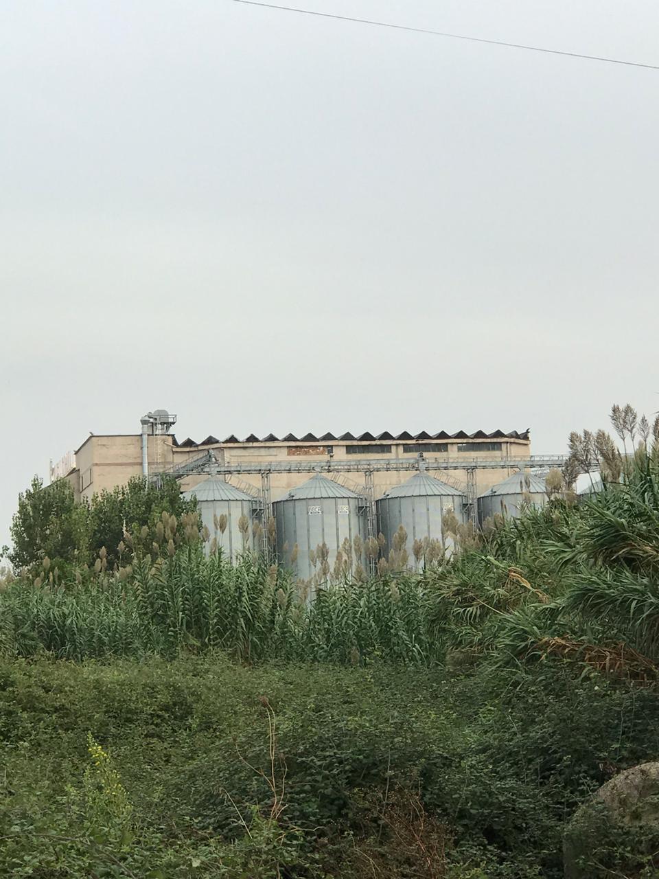
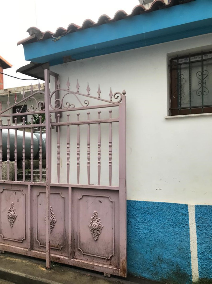
Albania
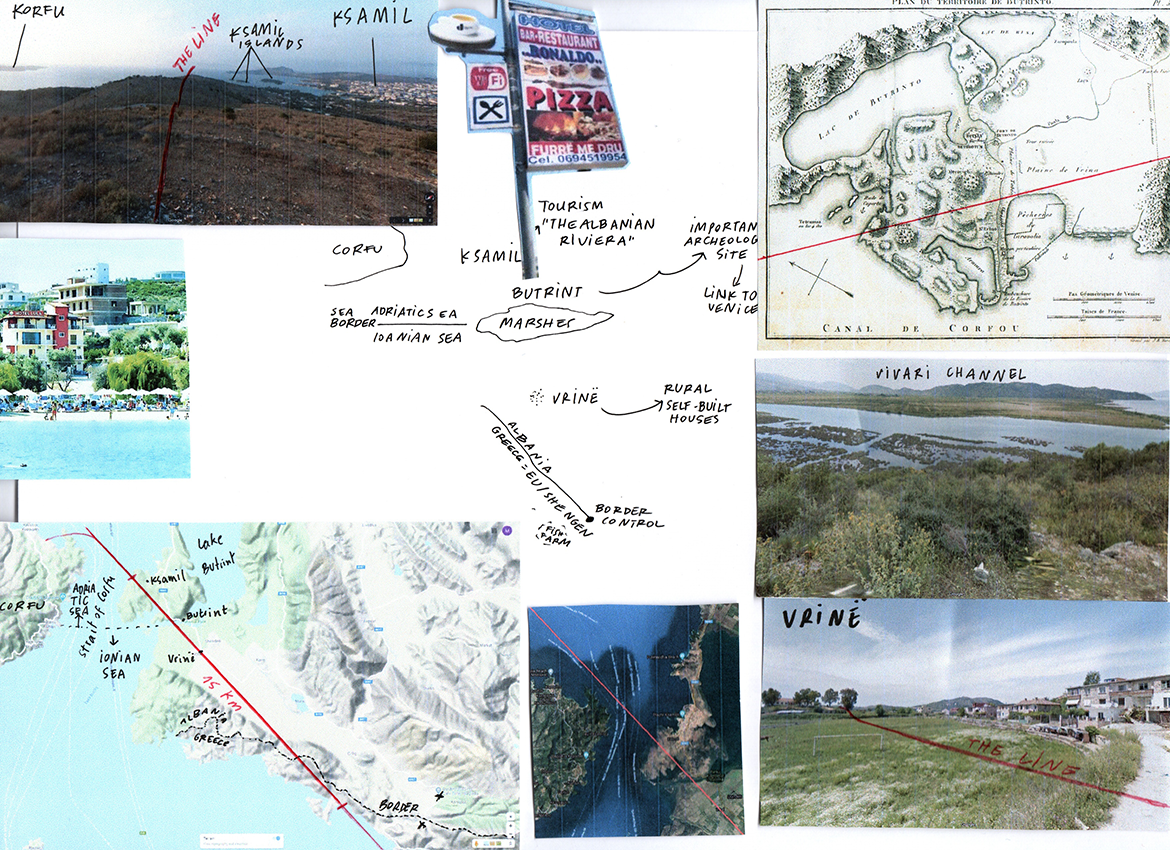


Greece

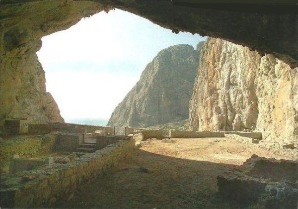
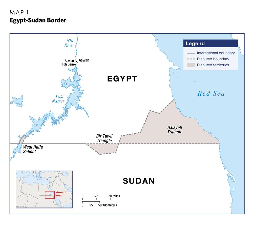
Egypt


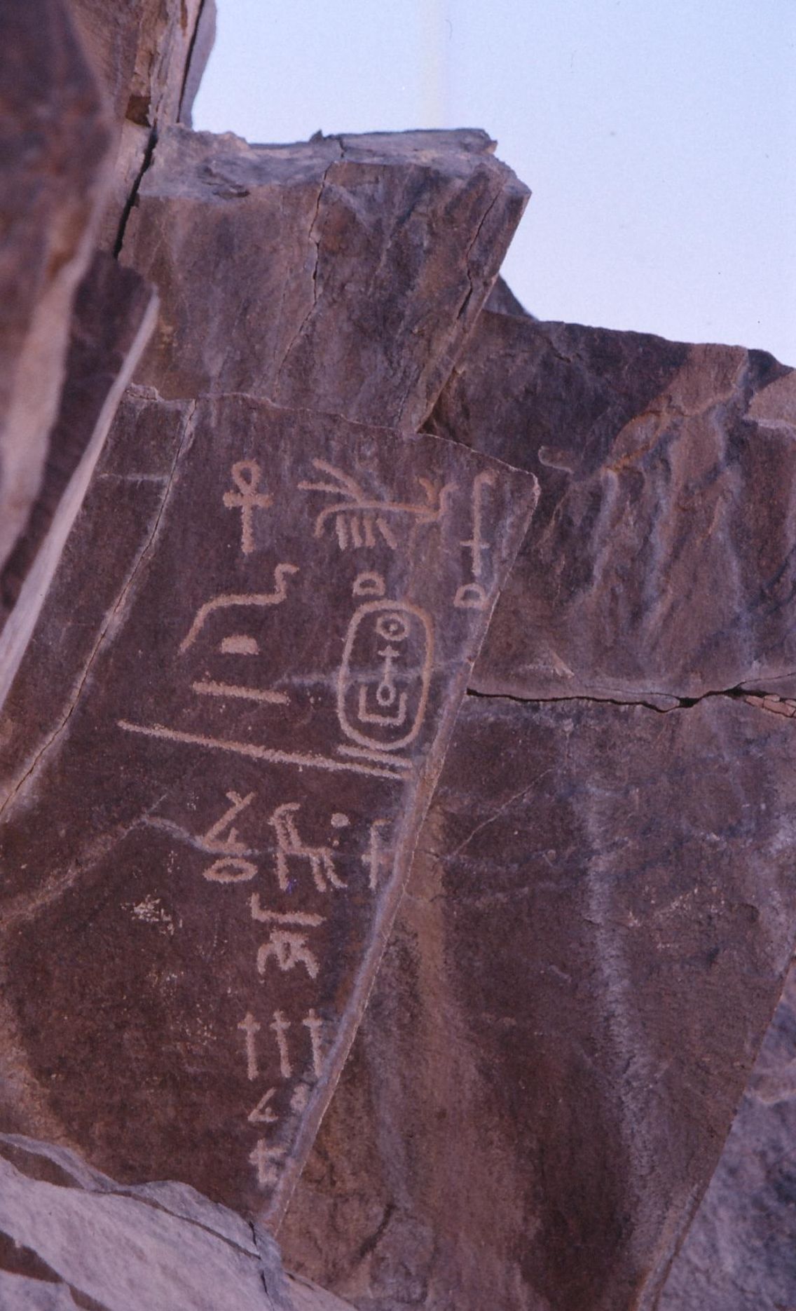
Sudan
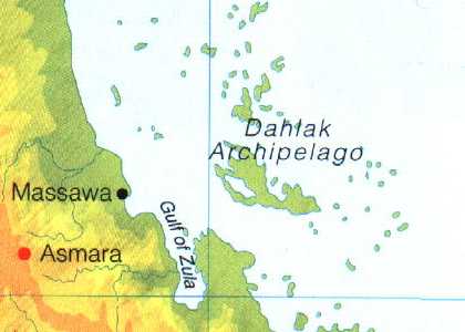
Eritrea

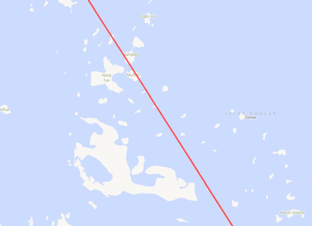

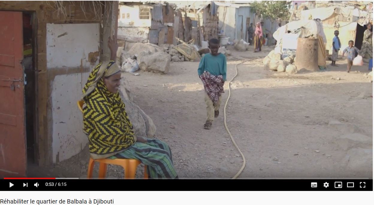
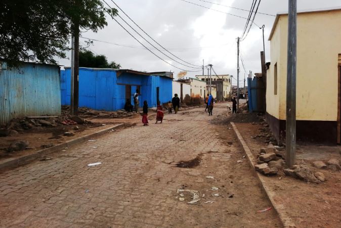
Djibouti

Ethiopia
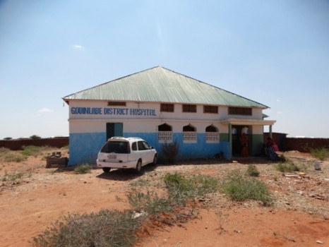
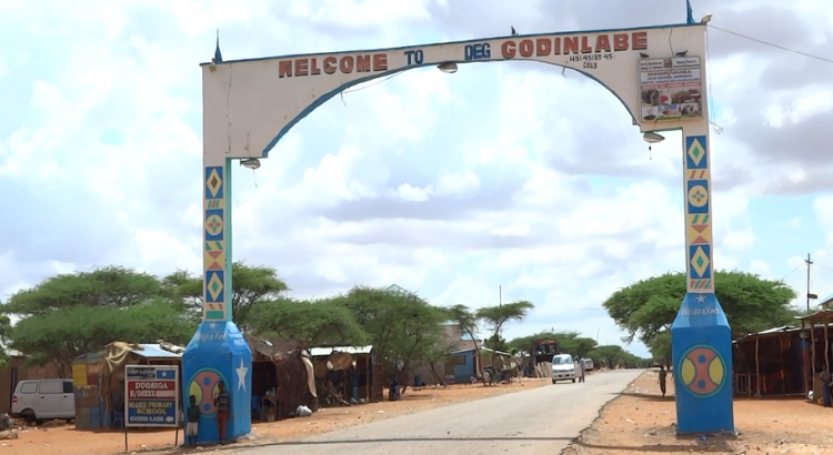
Somalia


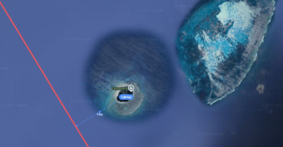
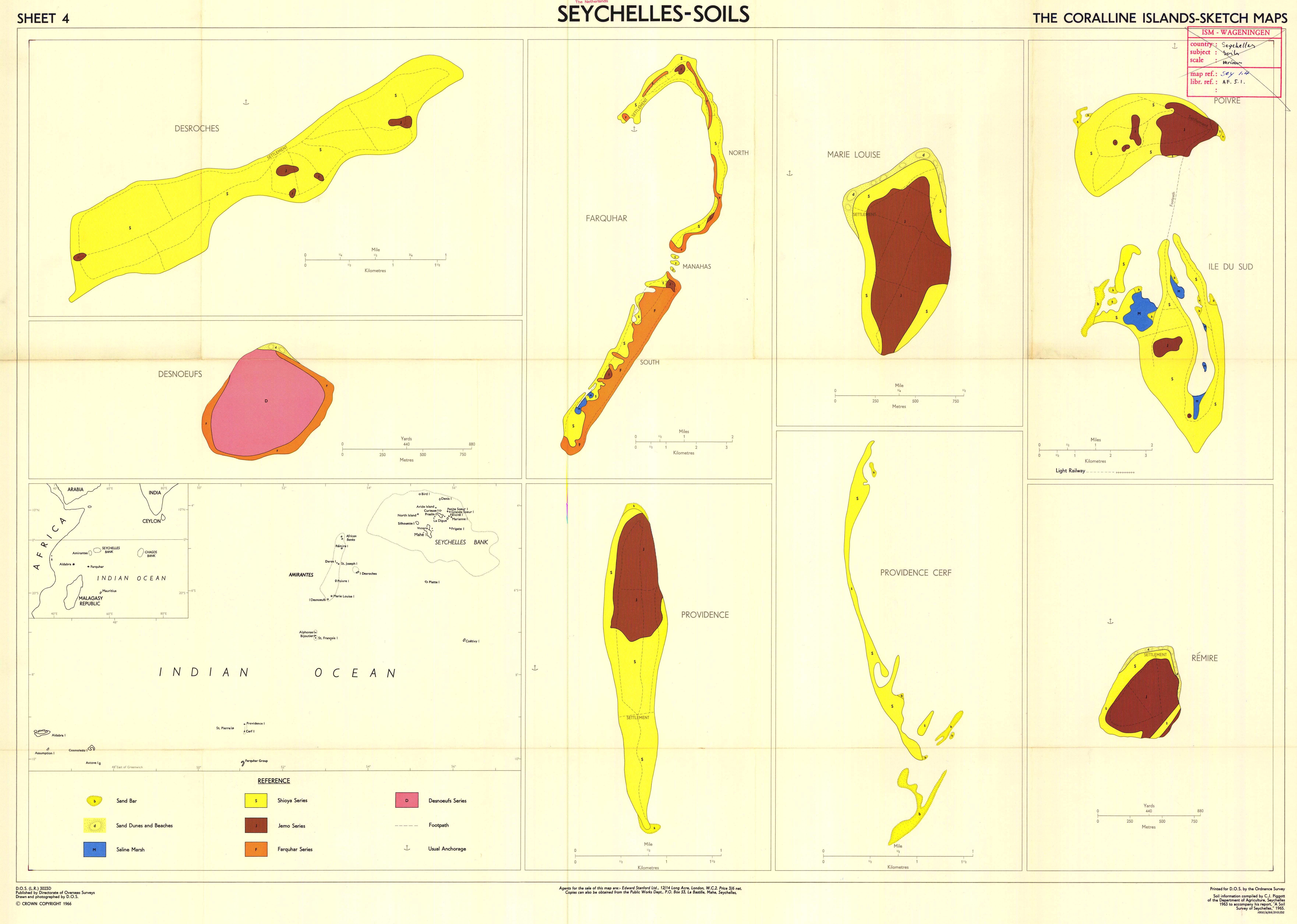
Seychelles

French Polynesia


Mexico


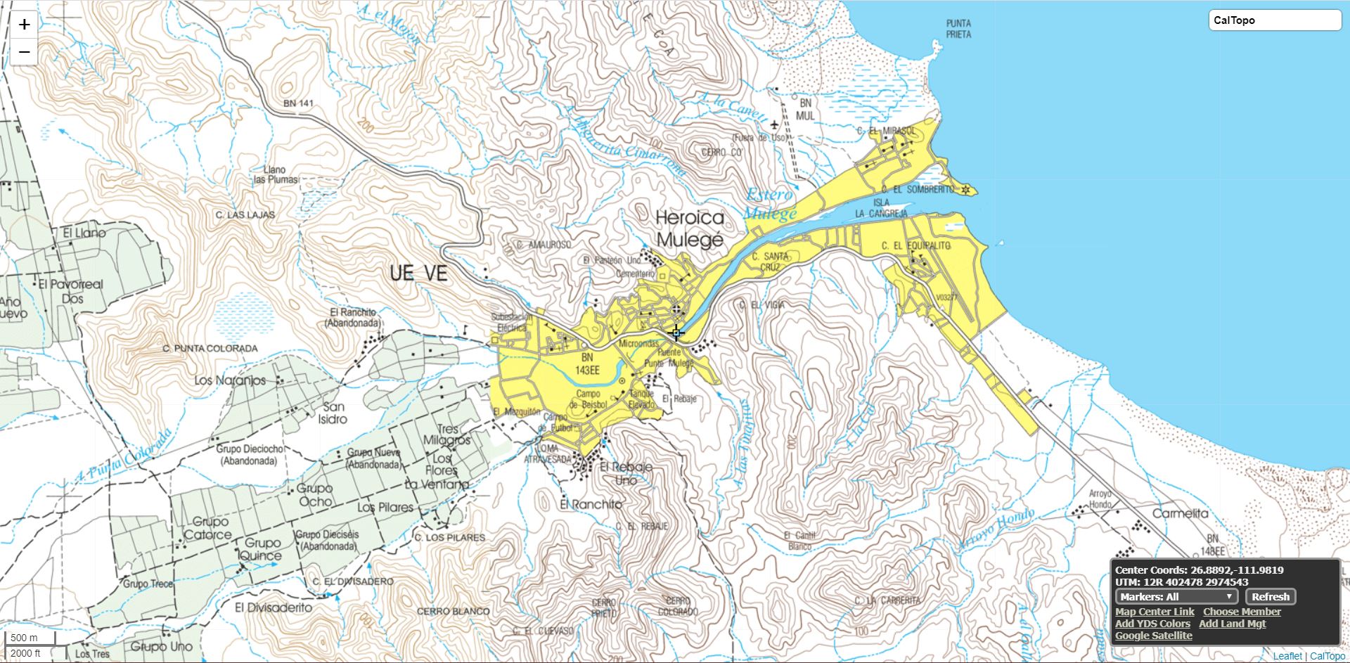
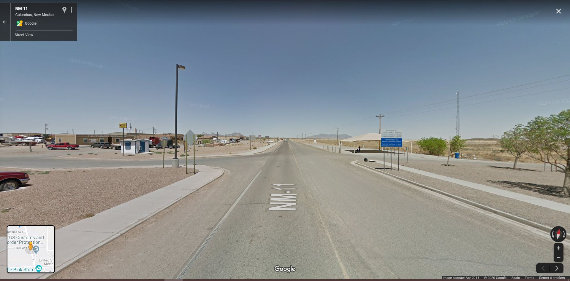
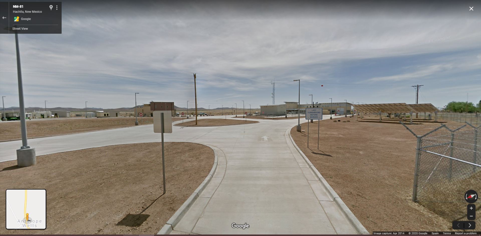
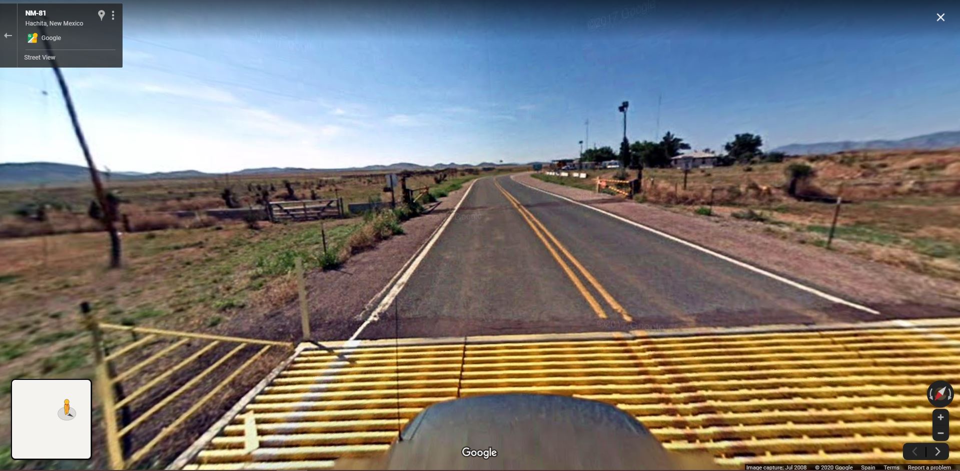
United States of America
New Mexico
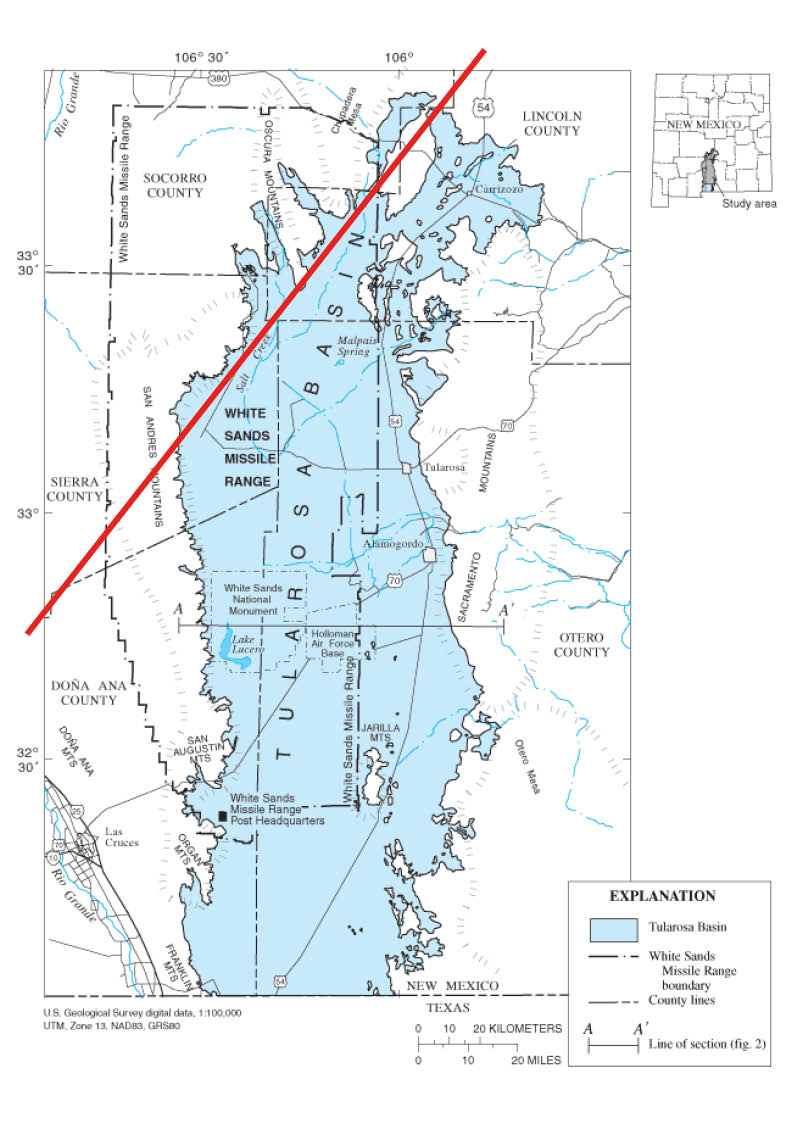
![City of The Sun (Columbus, Luna County). Photograph by Dr. Lilian Makeda. https://sah-archipedia.org/buildings/NM-01-029-0052]()
New Mexico
︎︎︎Midwest
![]()


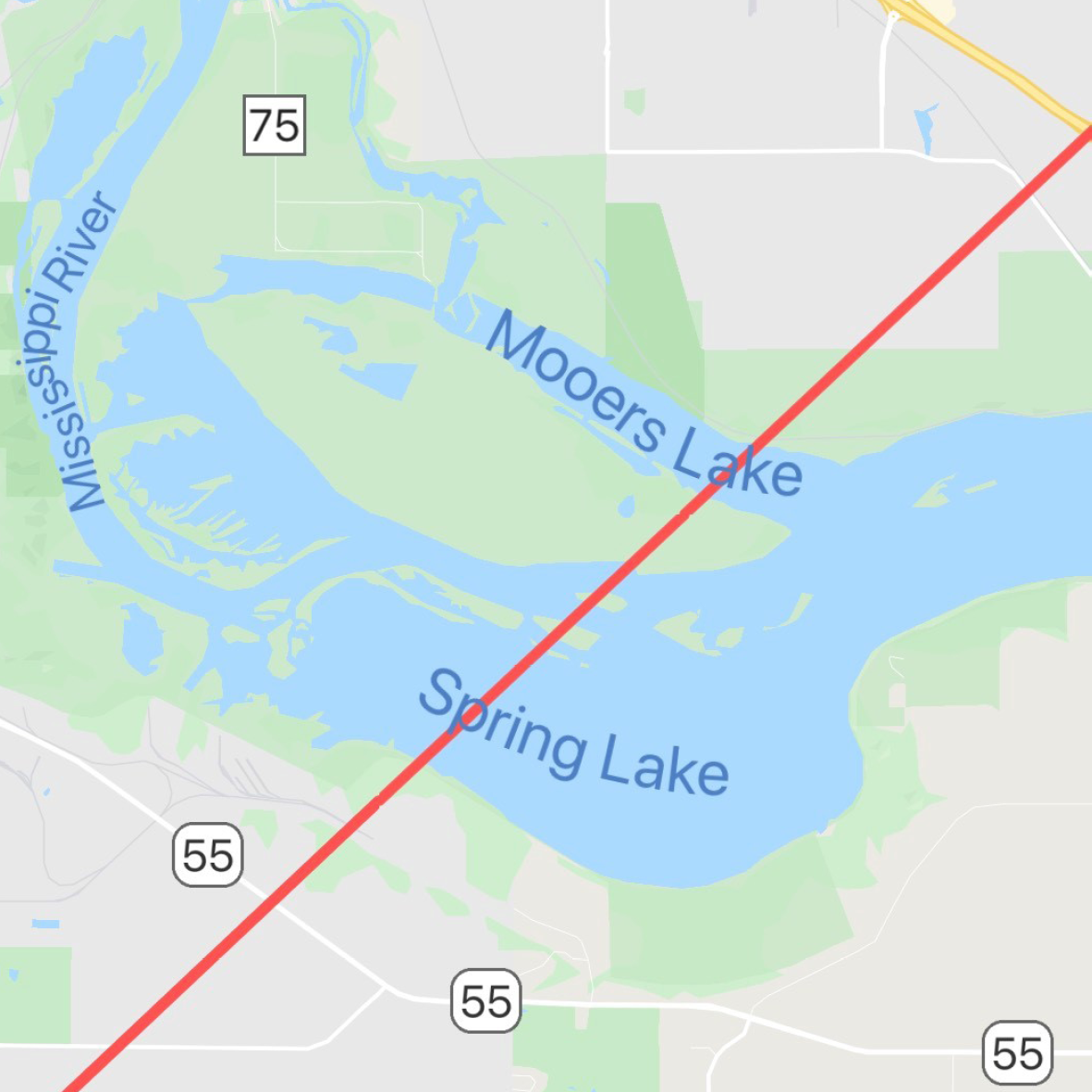
︎︎︎Minnesota
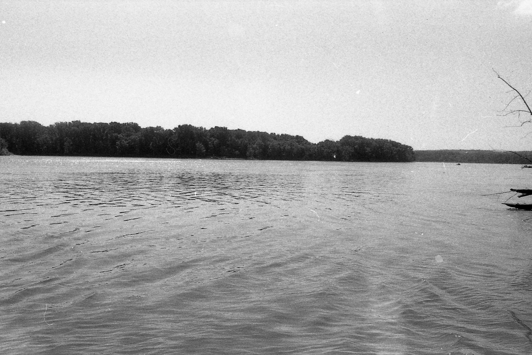

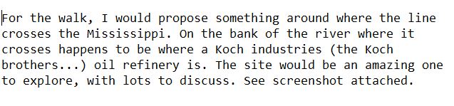

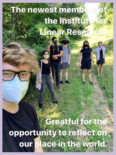


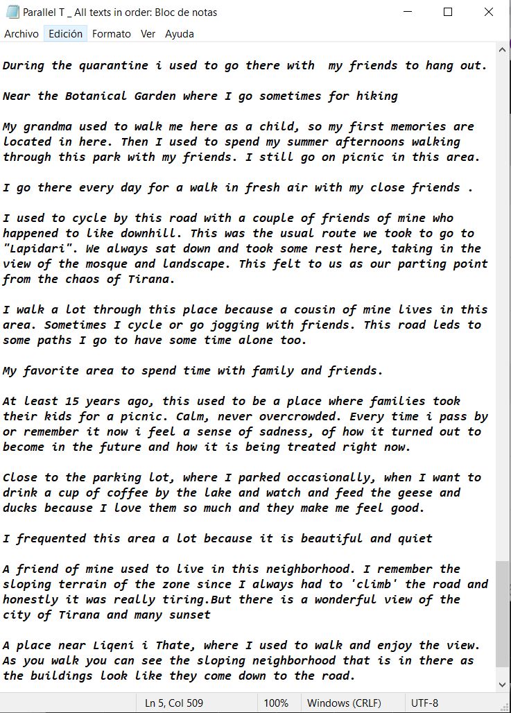
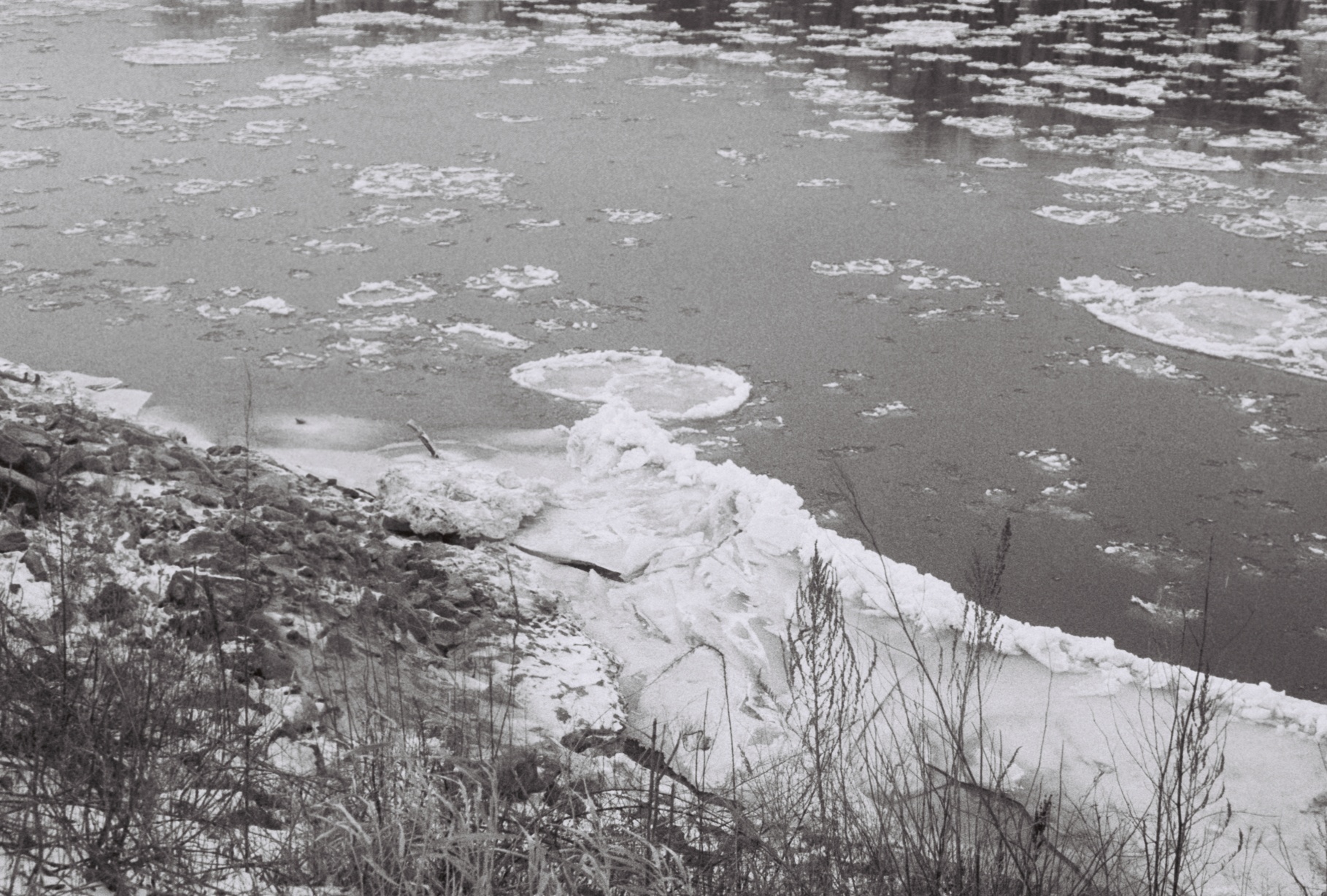
walking across the
Mississippi River

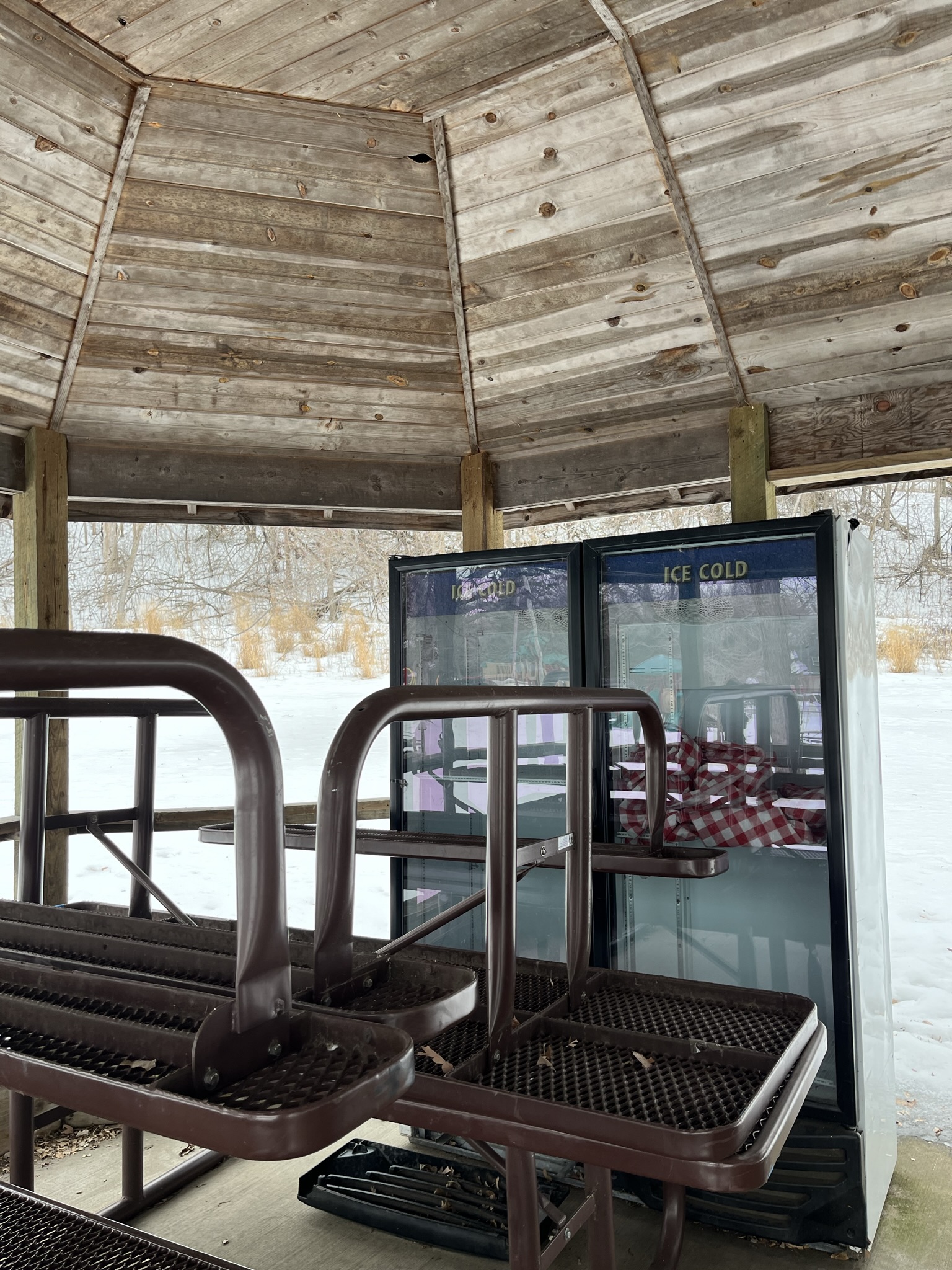
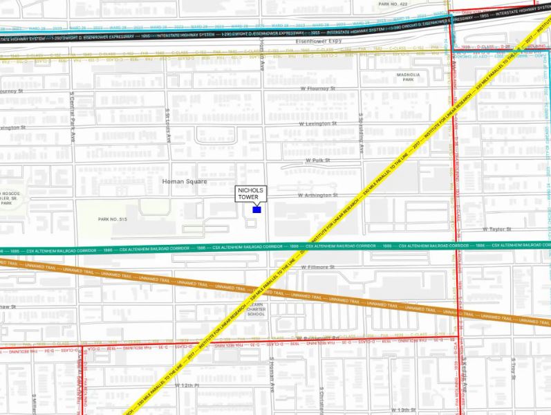
Parallel Crossing Lines (Chicago)
︎
︎
︎
︎
︎


︎
︎
︎
︎


︎︎︎Wisconsin


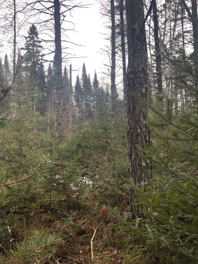

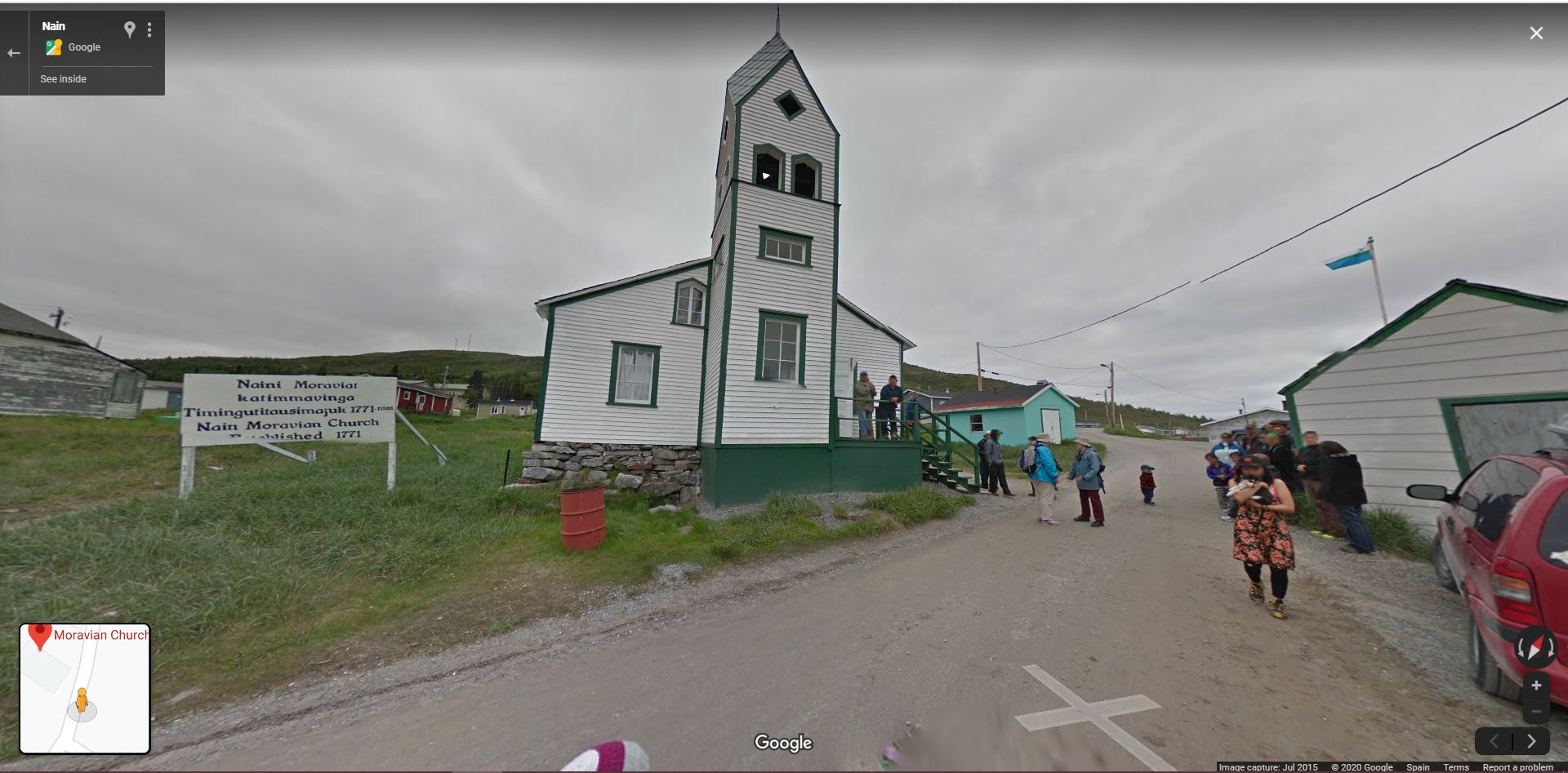
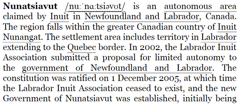
Canada

Ireland
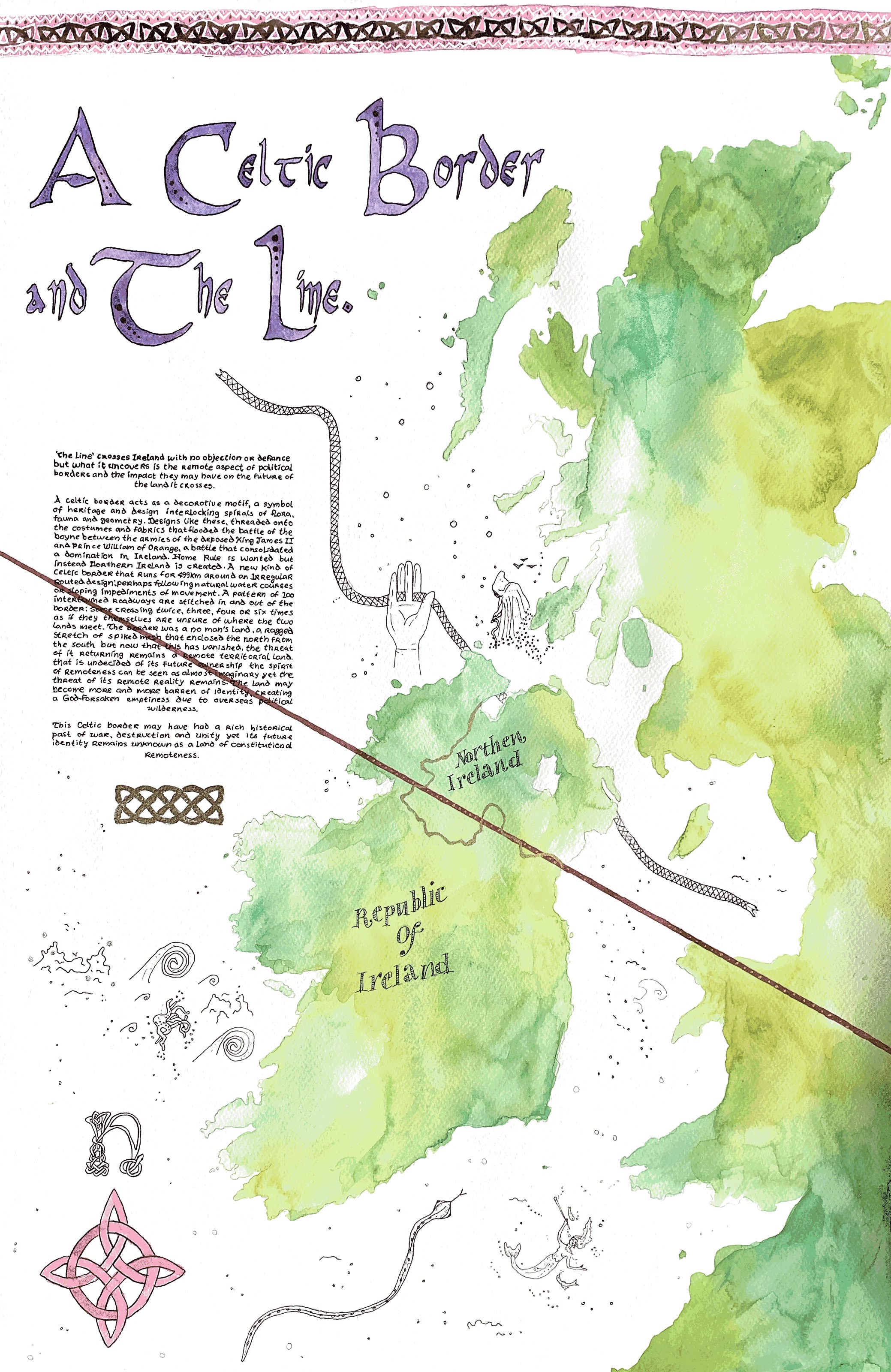
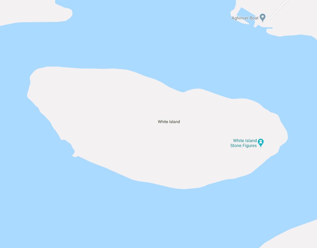
United Kingdom


France

Belgium


France
Germany
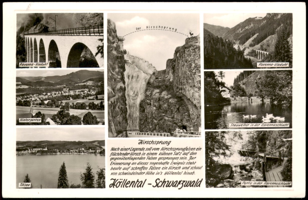

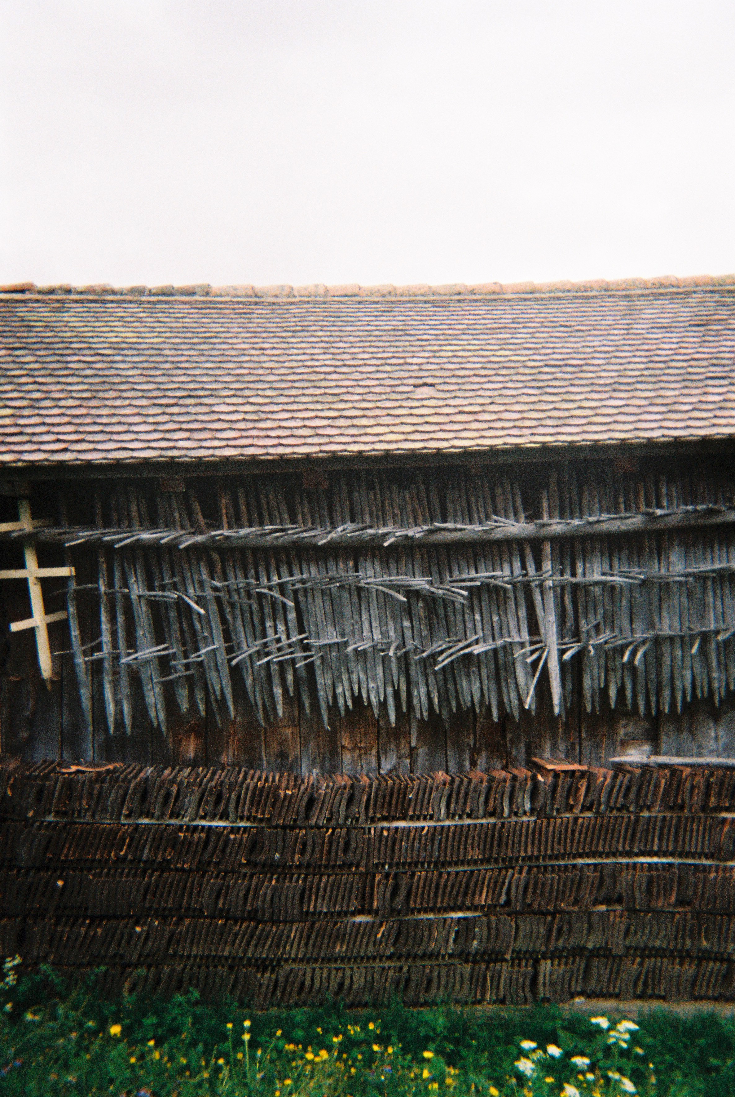
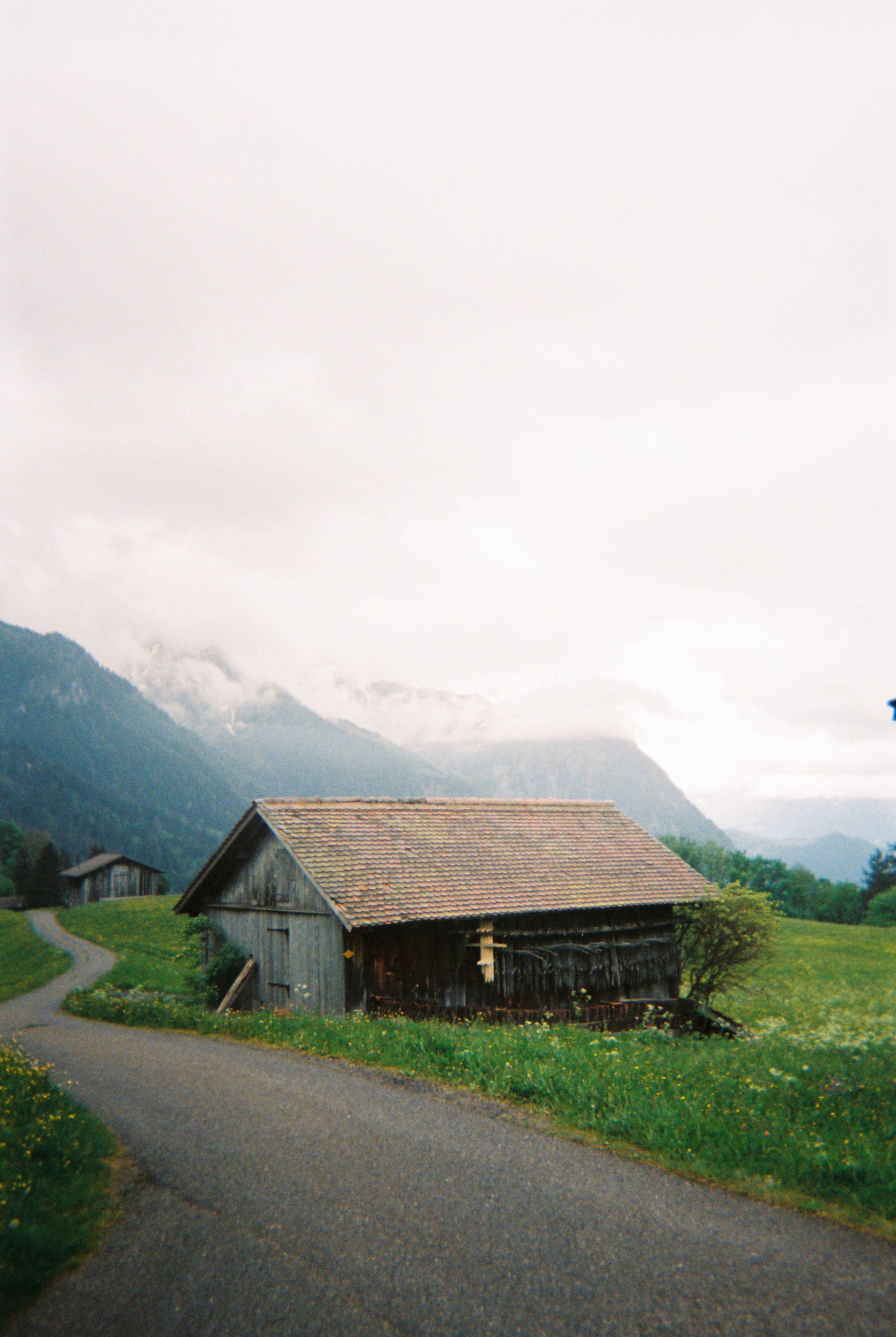
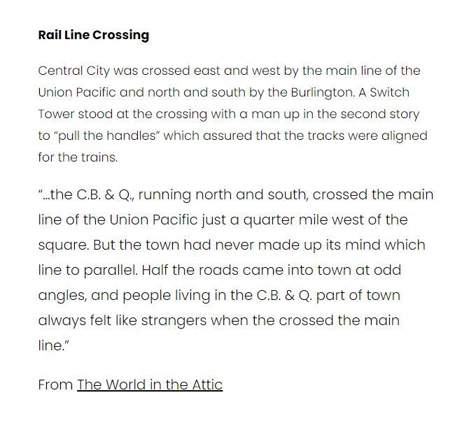
THE LINE in Germany:
- Weisweil
- Forchheim am Kaiserstuhl
- Endingen am Kaiserstuhl
- Riegel am Kaiserstuhl
- Teningen / Reute / Denzlingen
- Heuweiler
- Stegen
- Buchenbach
- Breitnau
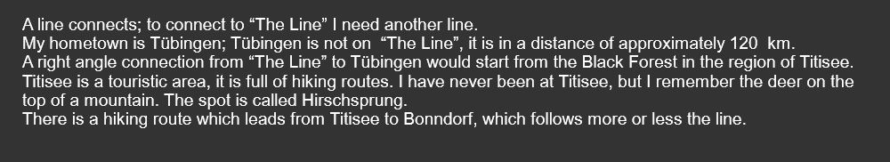
- Titisee-Neustadt
- Lenzkirch
- Bonndorf
- Stühlingen
- Schleitheim
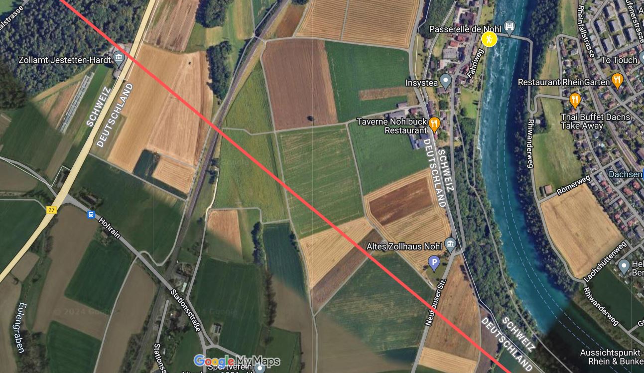
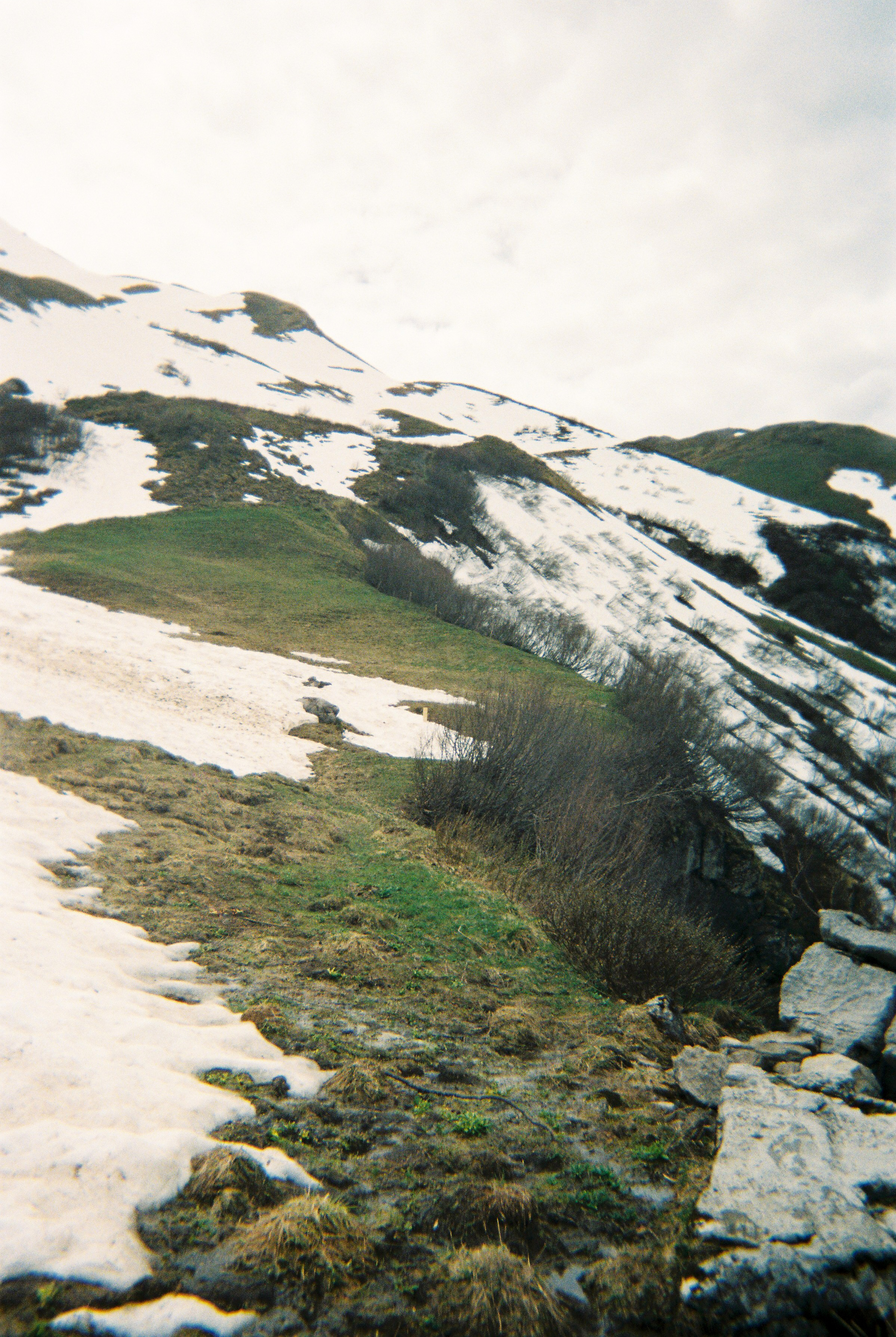
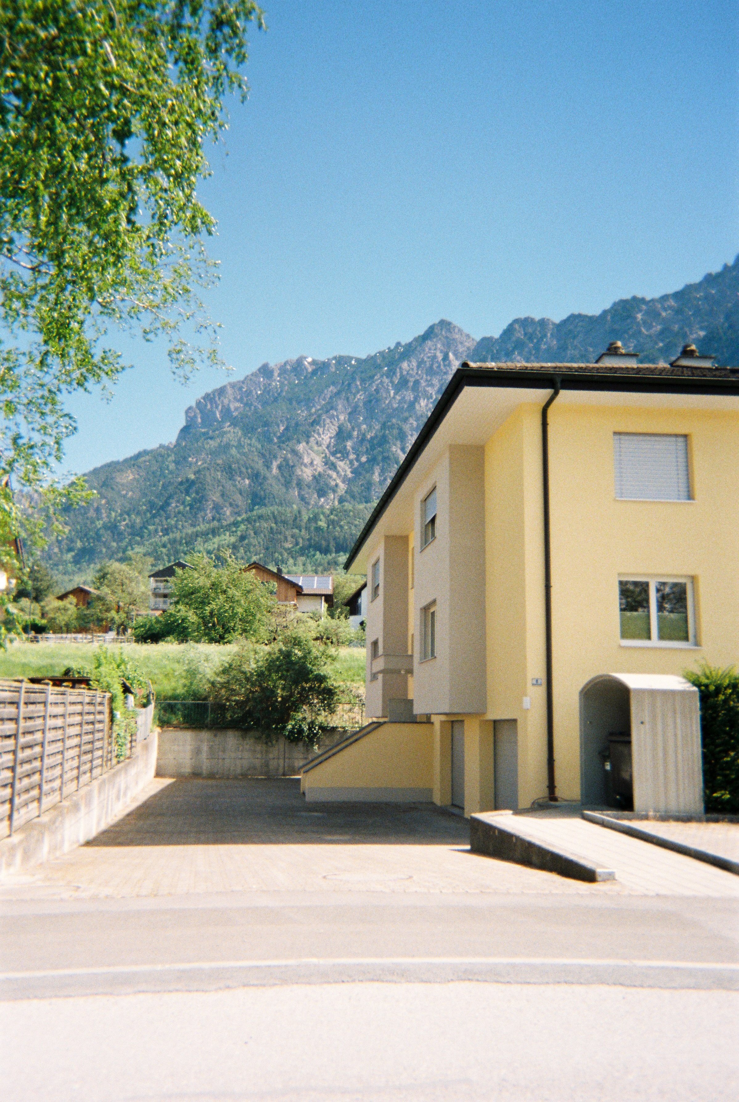
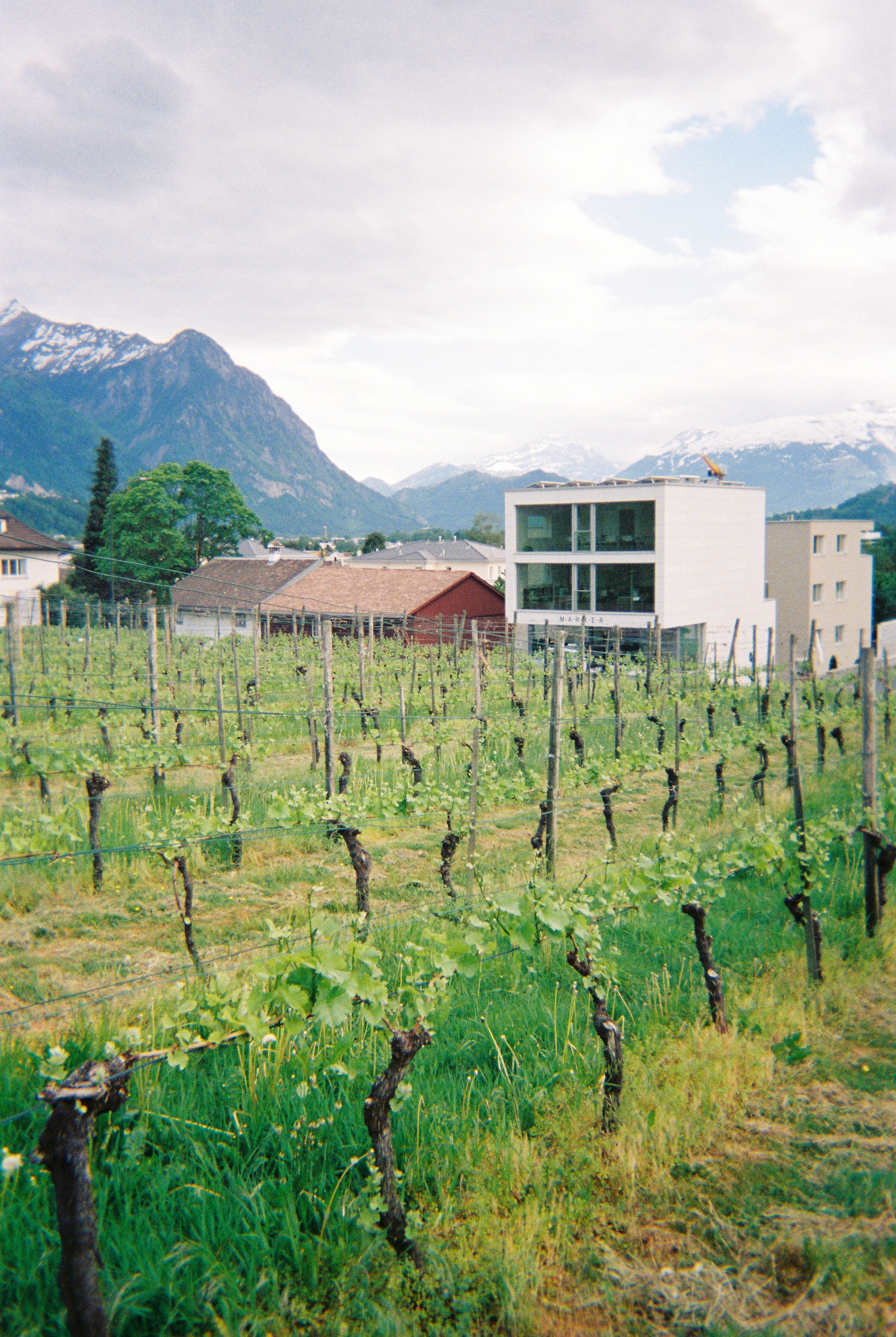
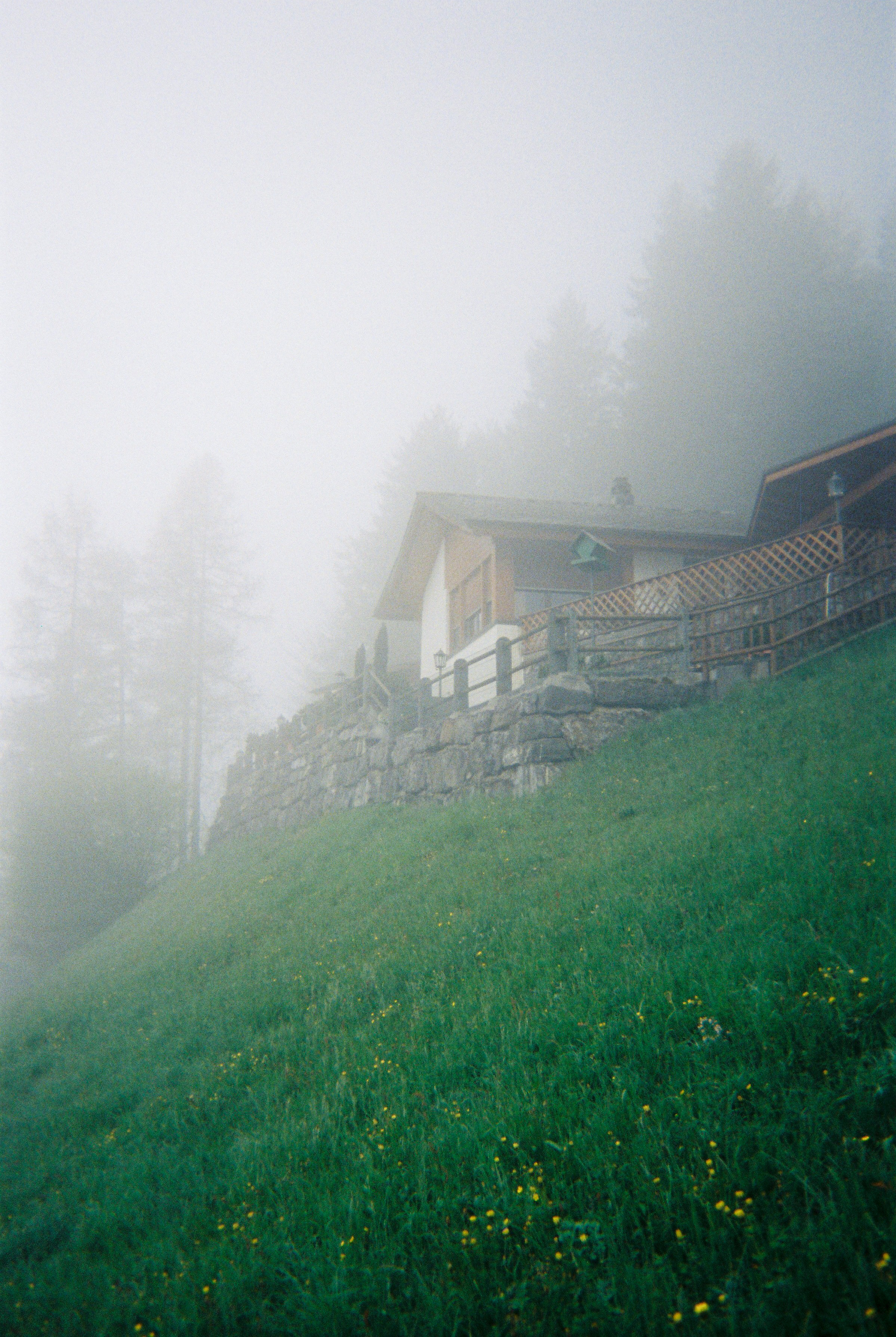
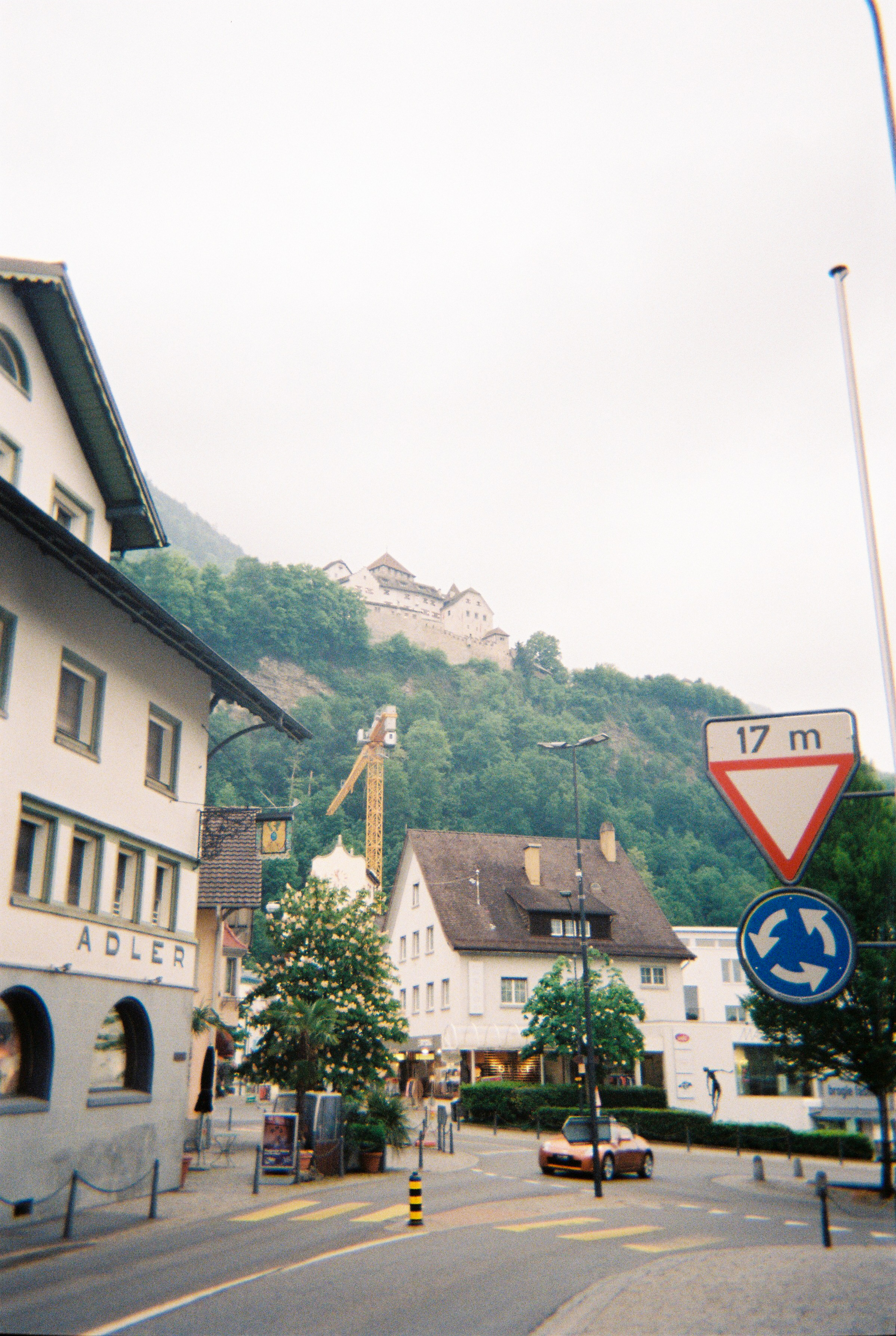
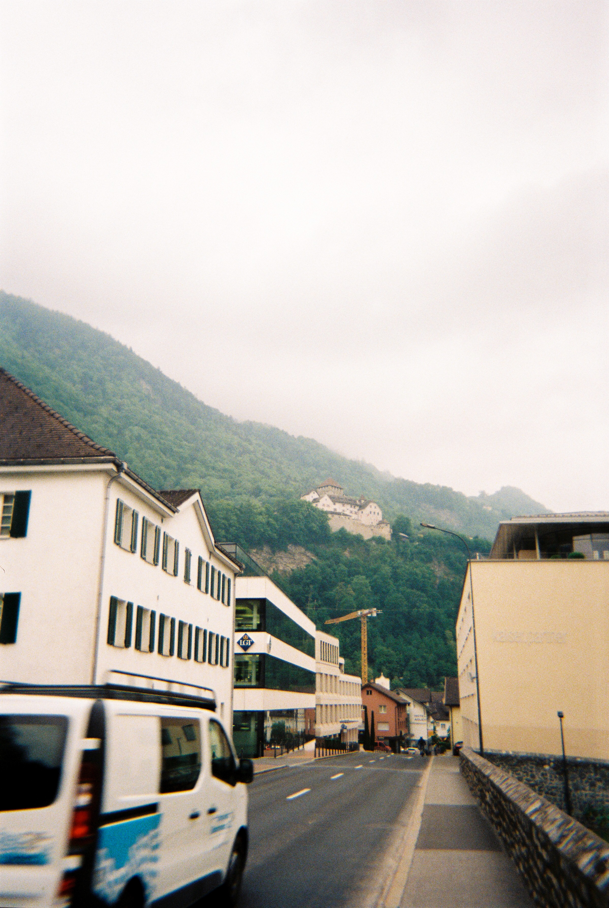
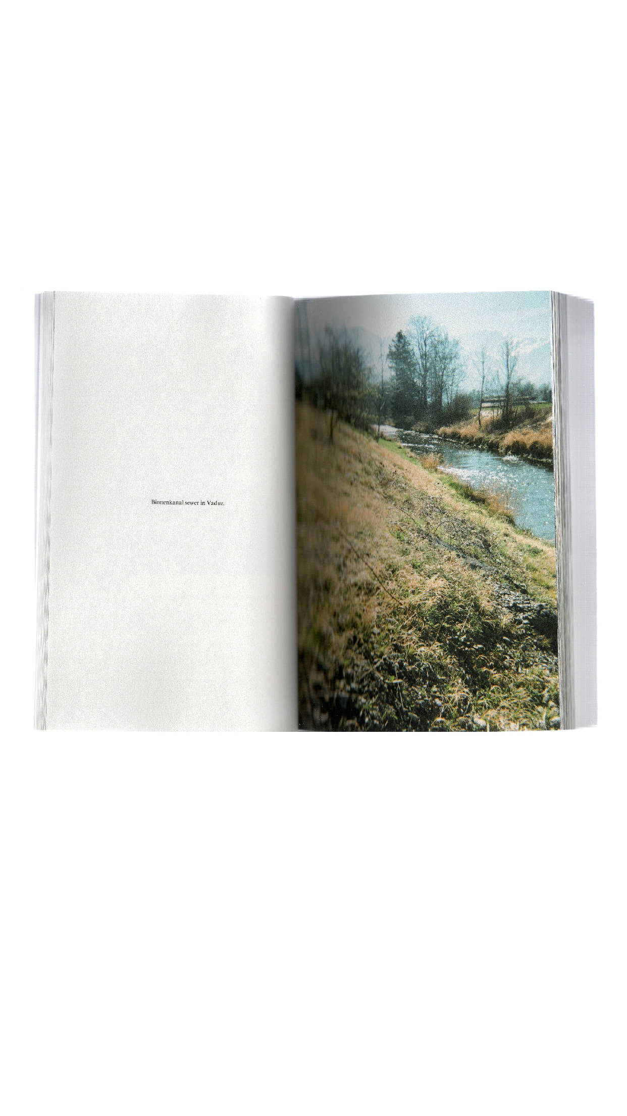
Switzerland
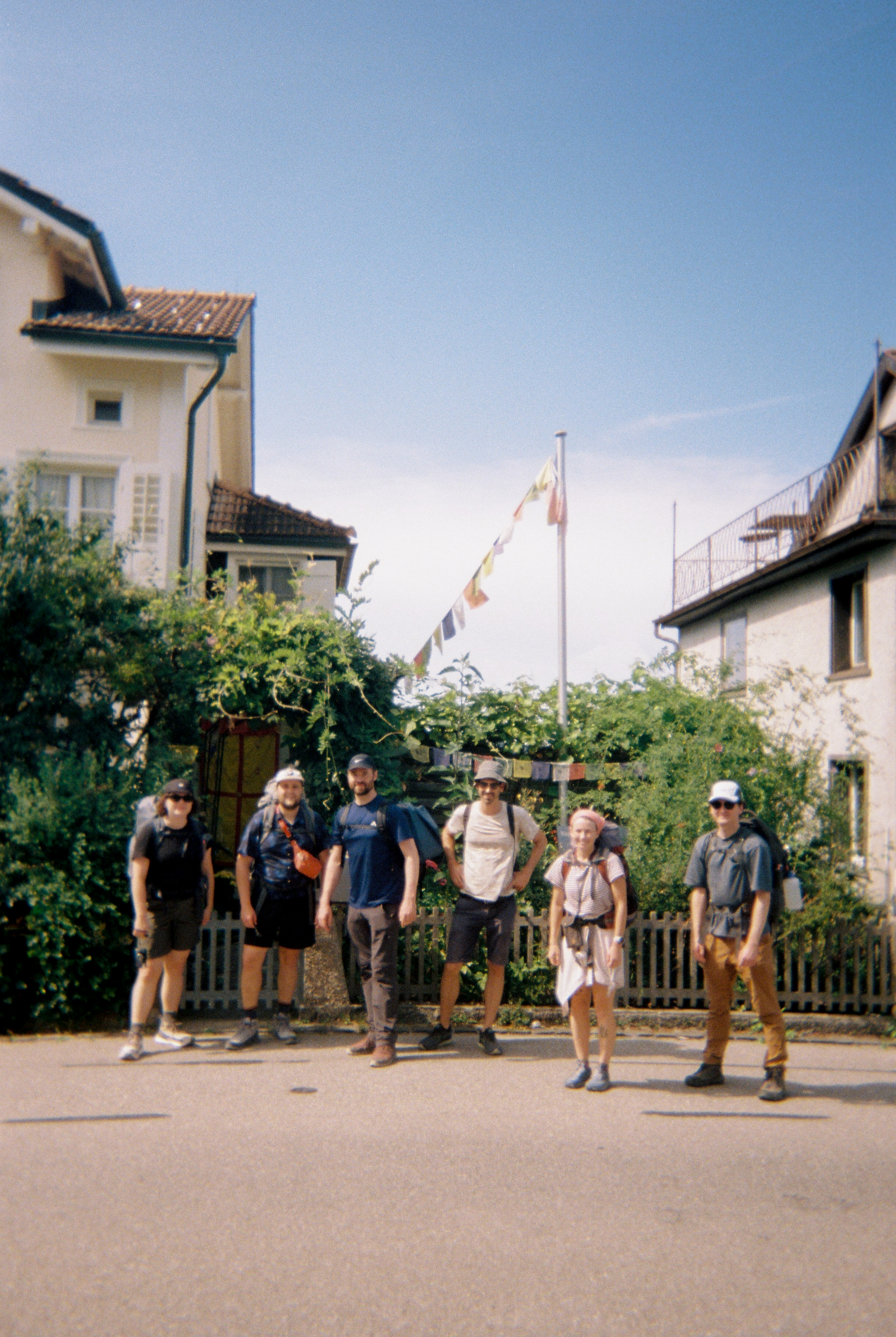
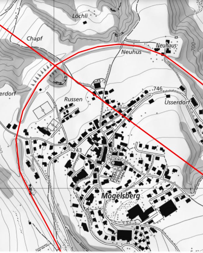

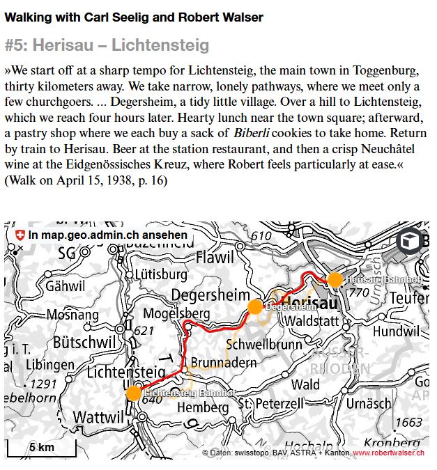
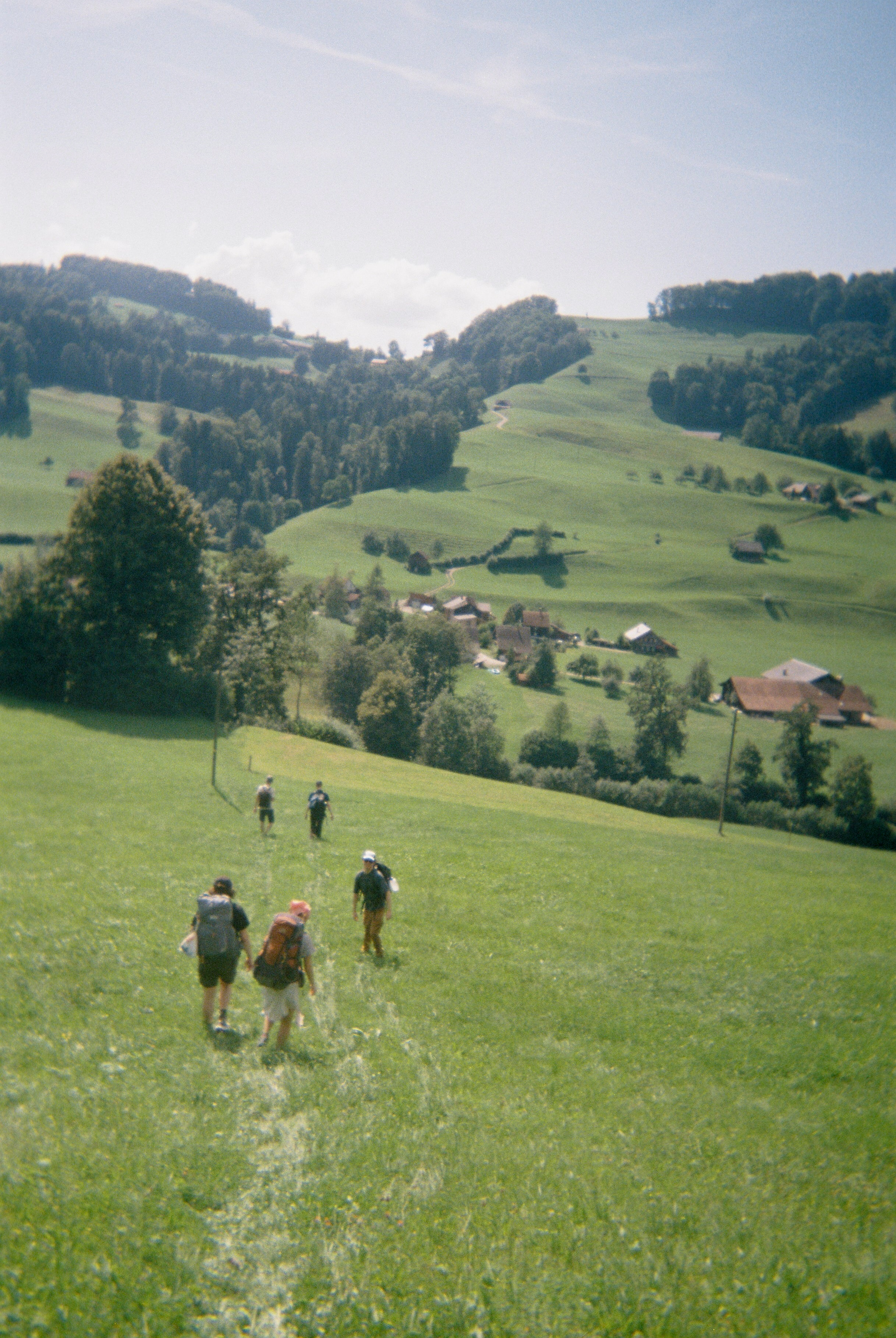
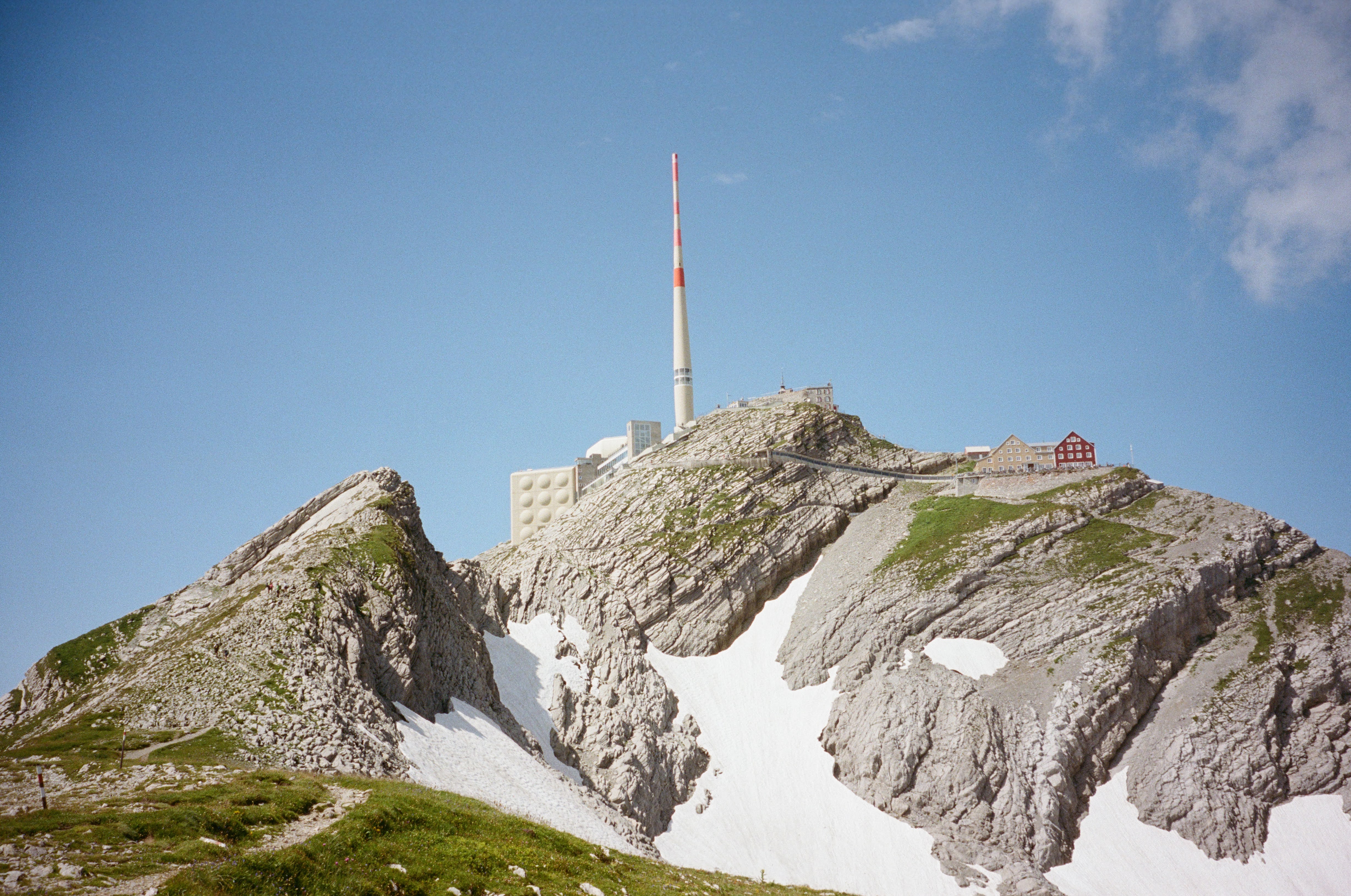


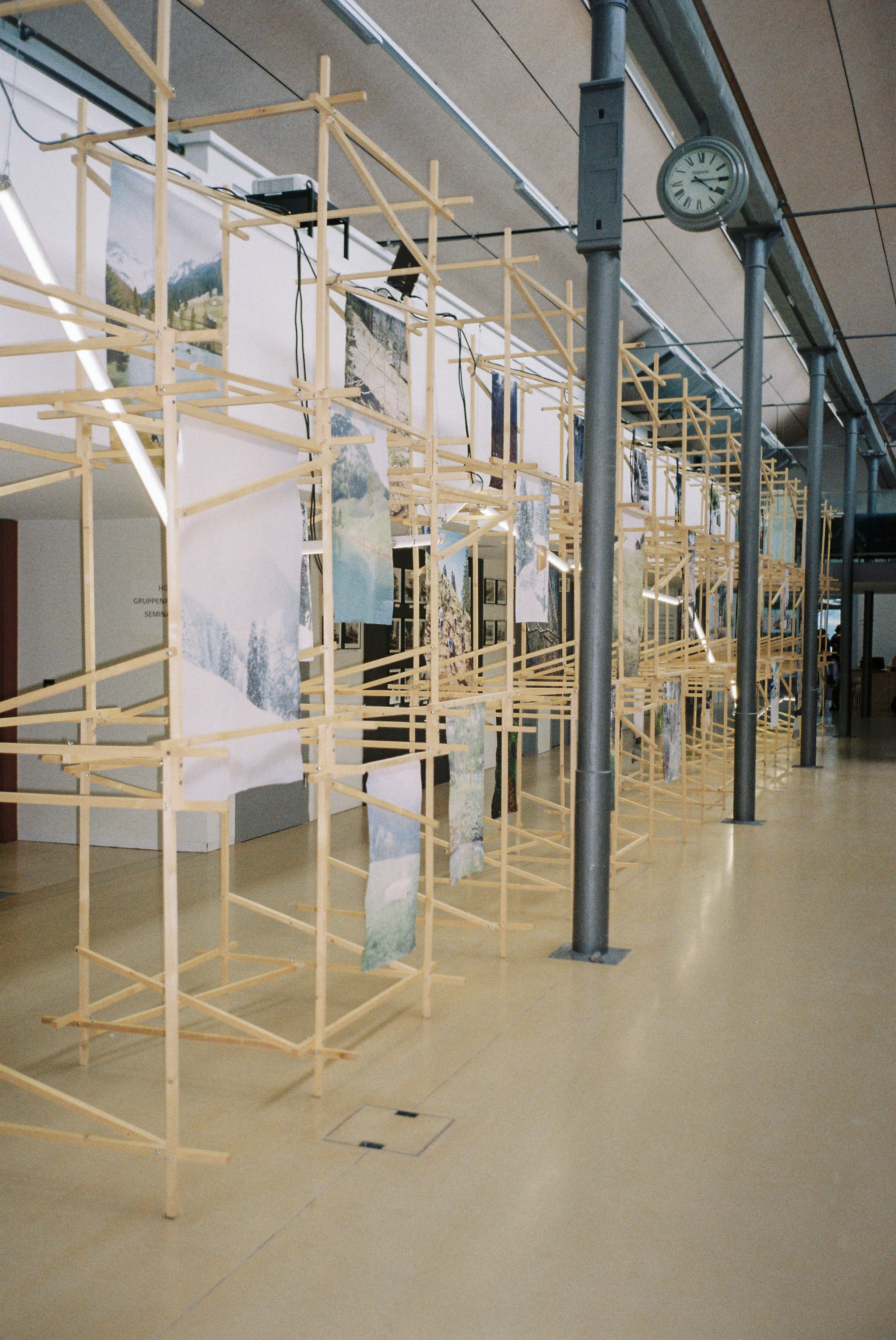
Linear Projects
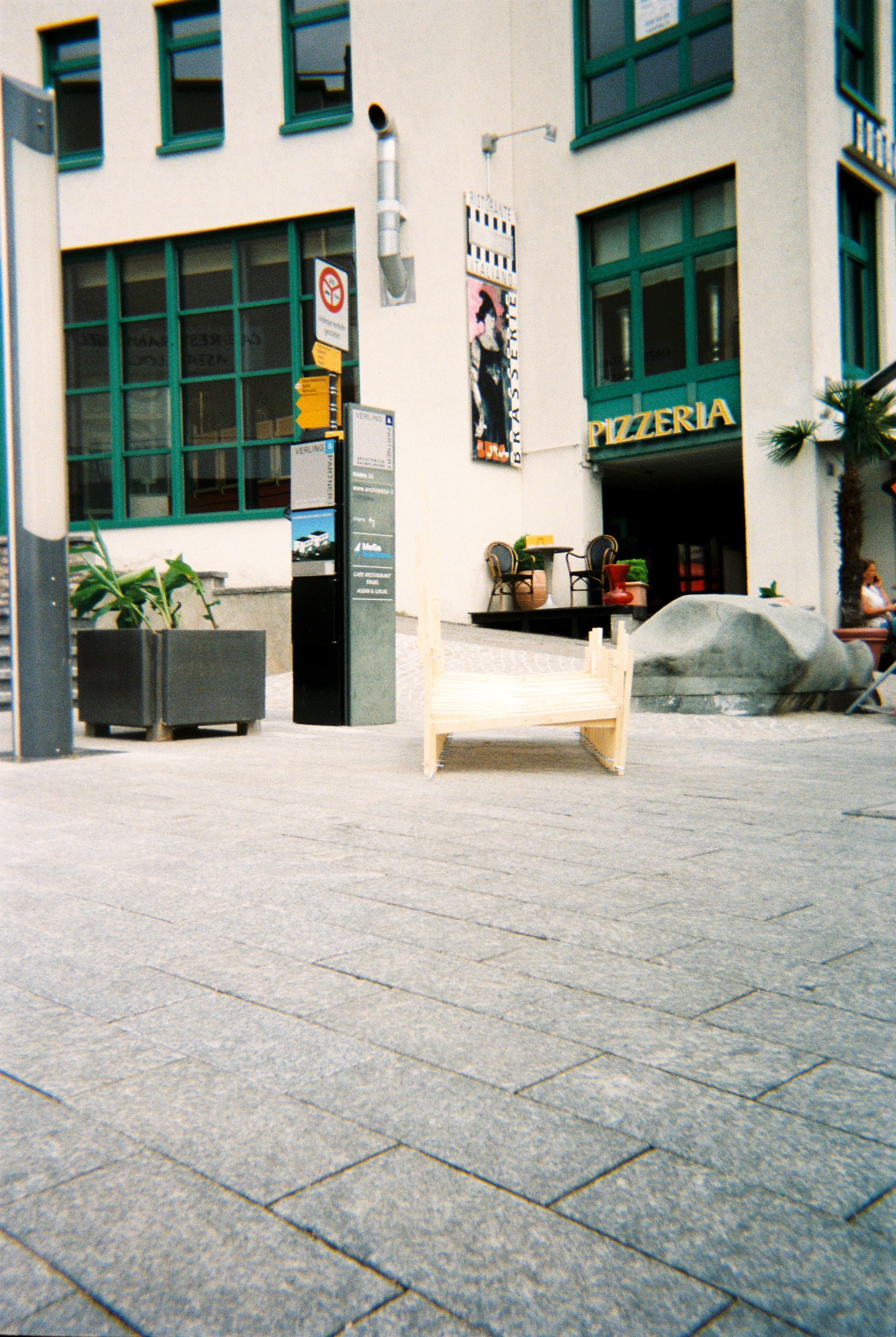
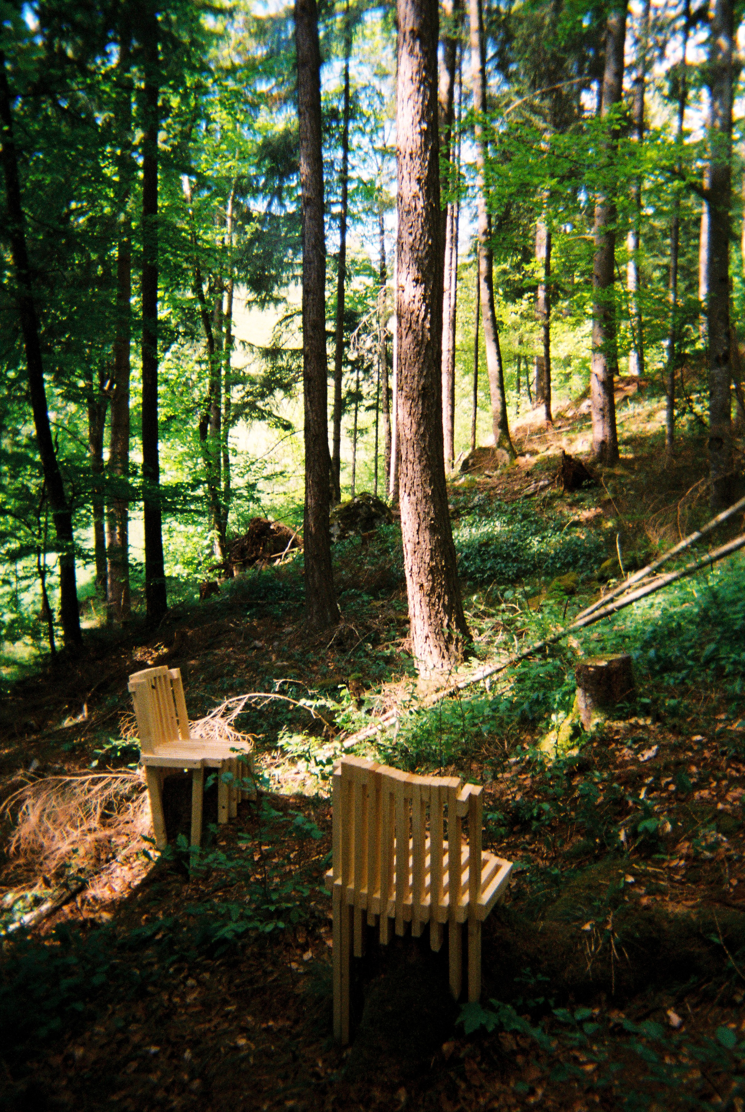
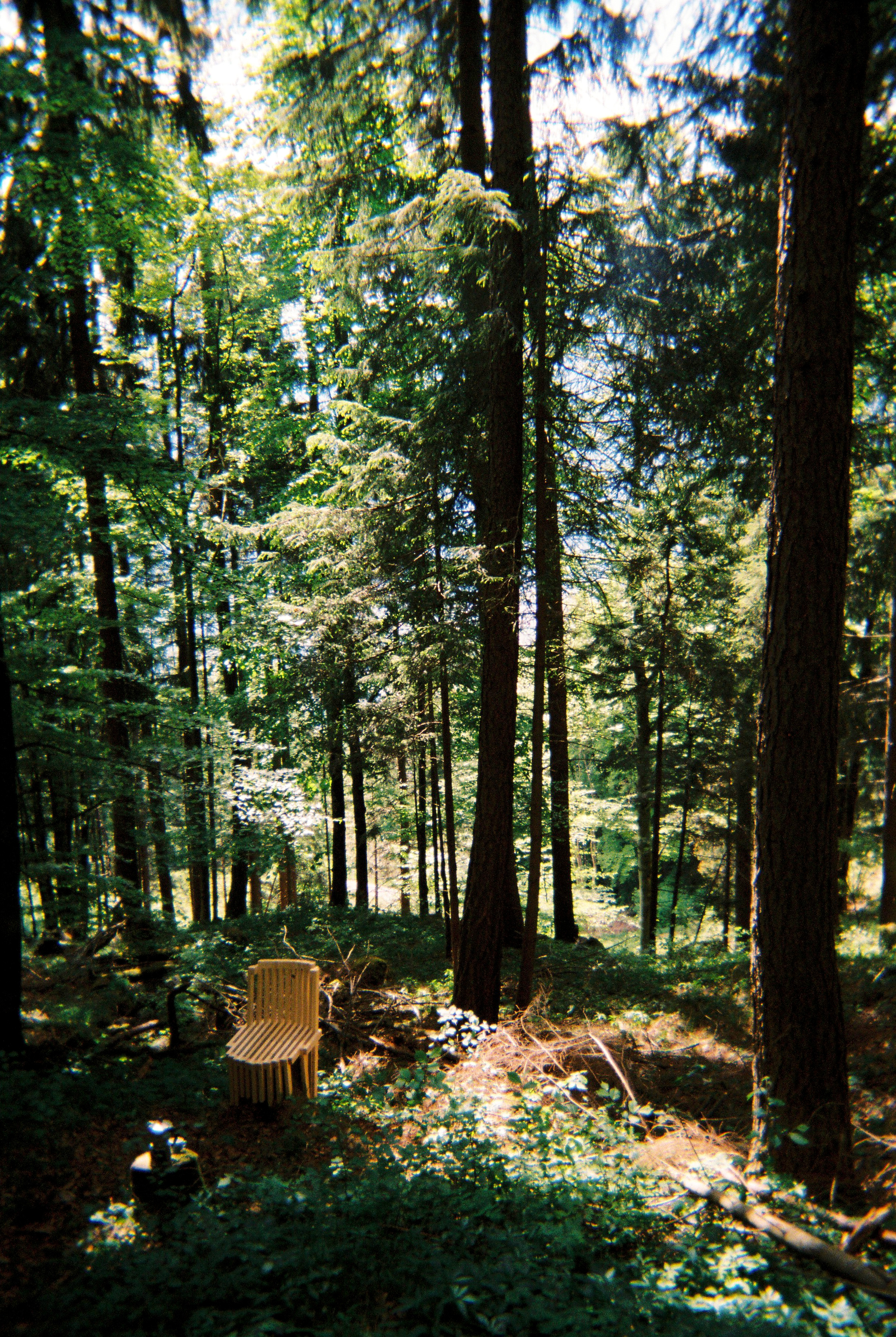
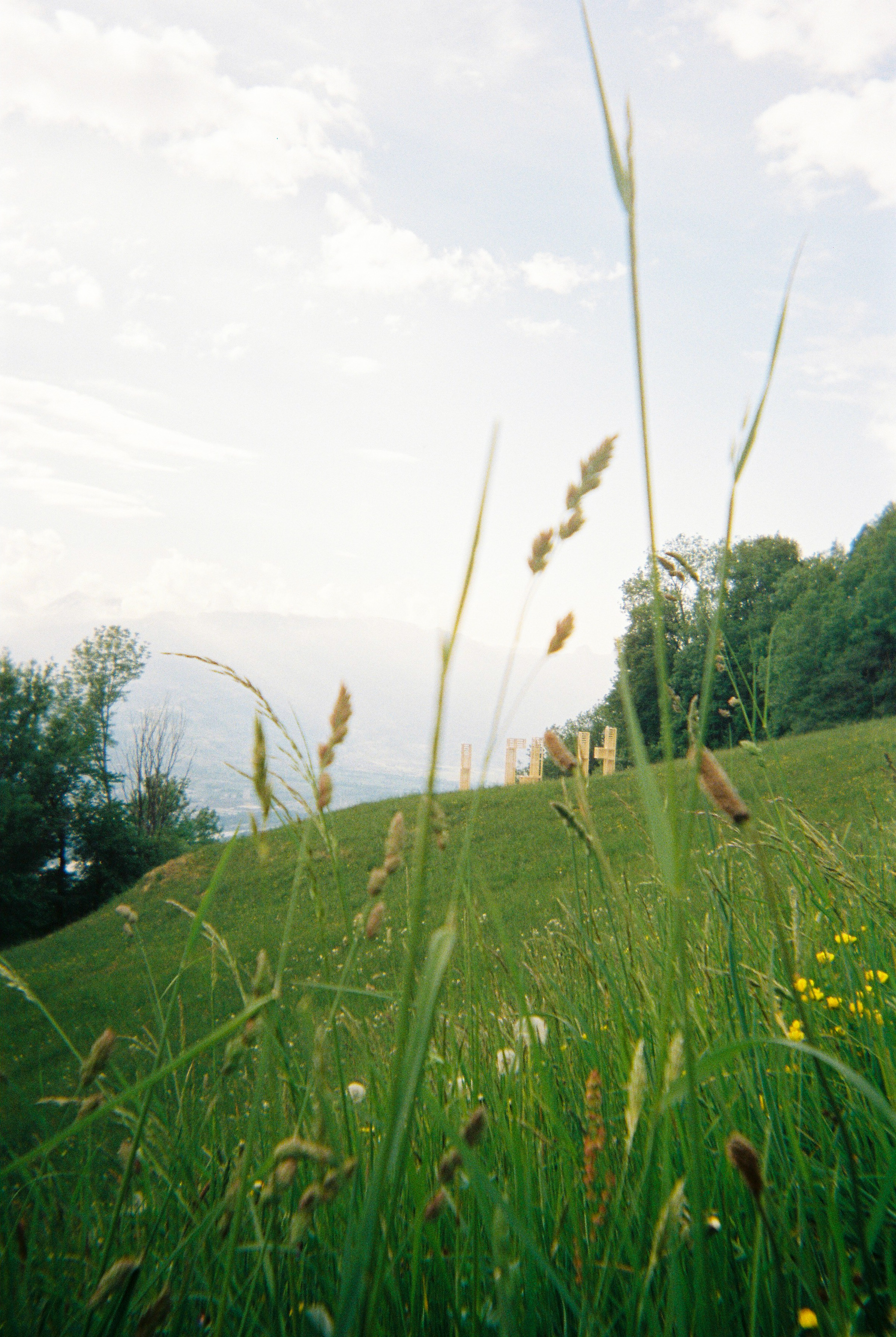
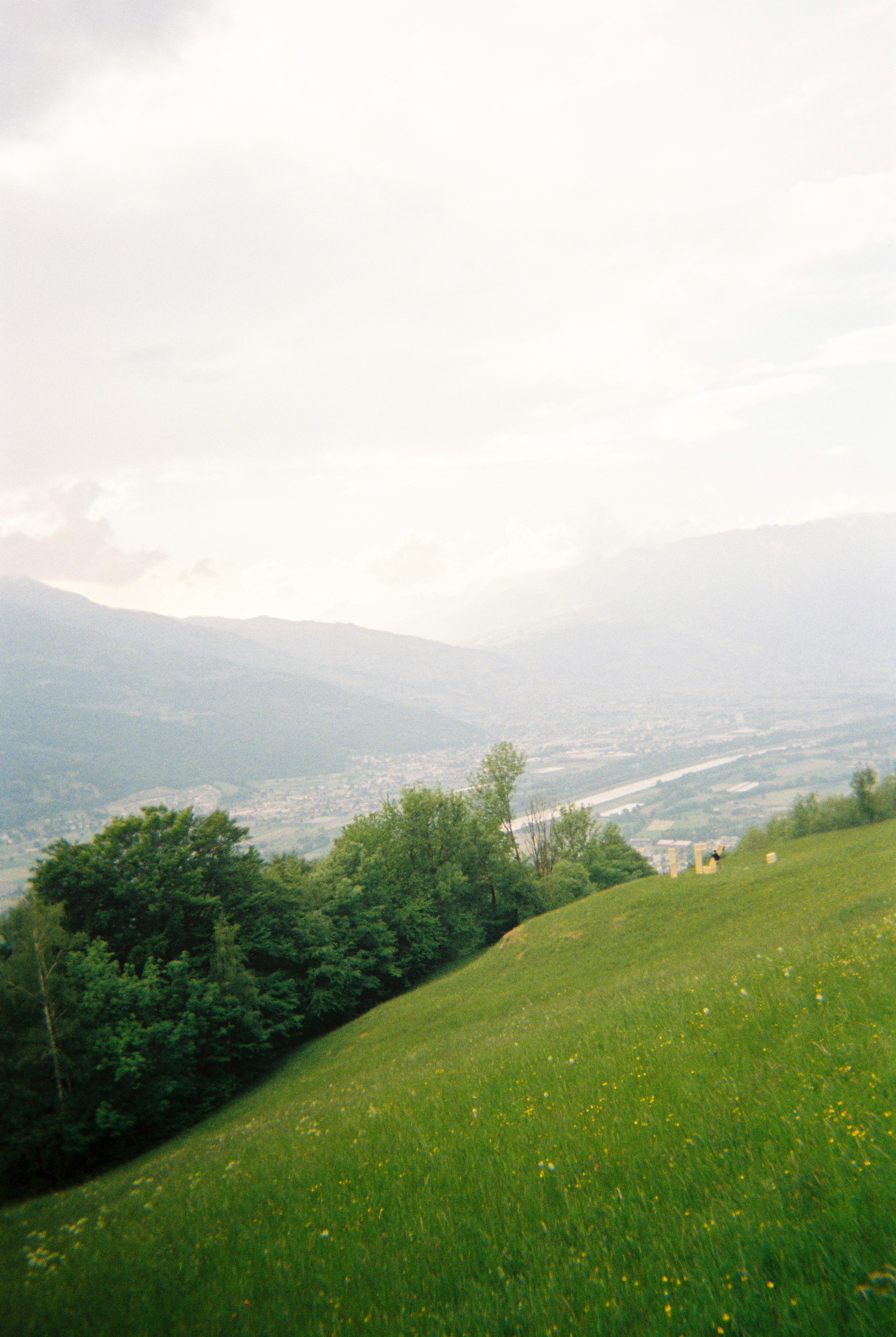
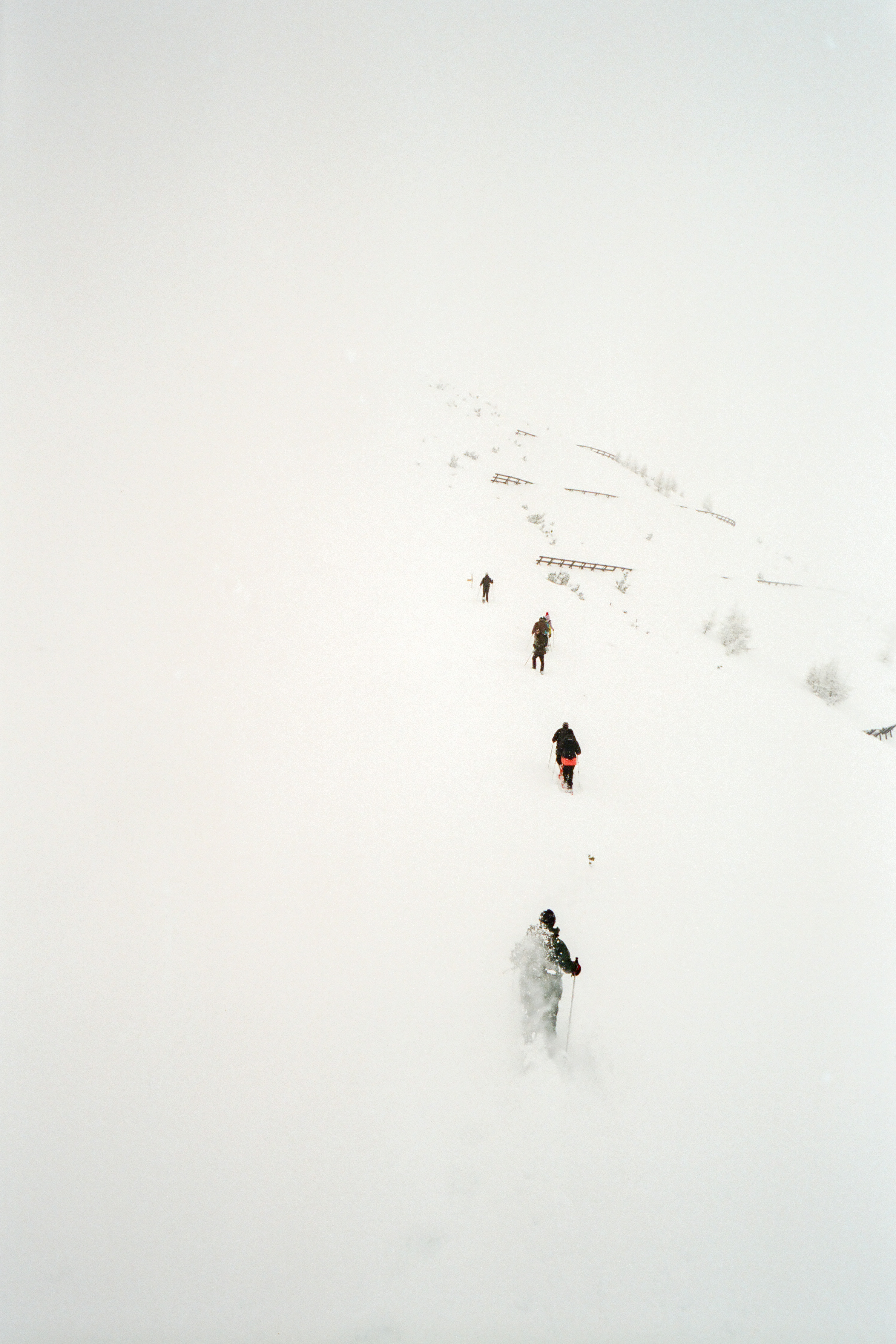
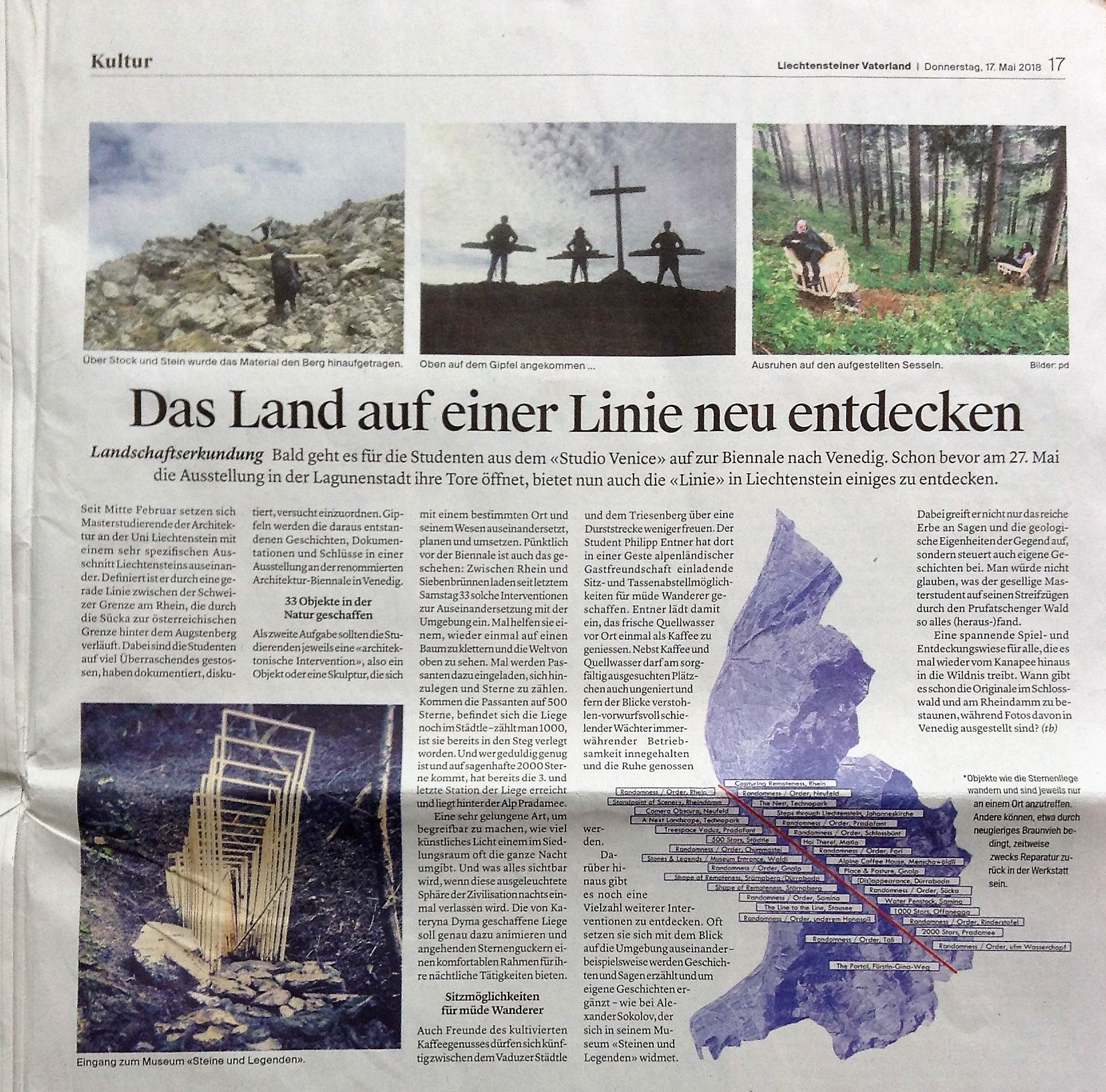
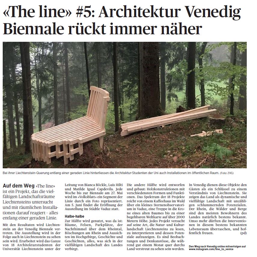
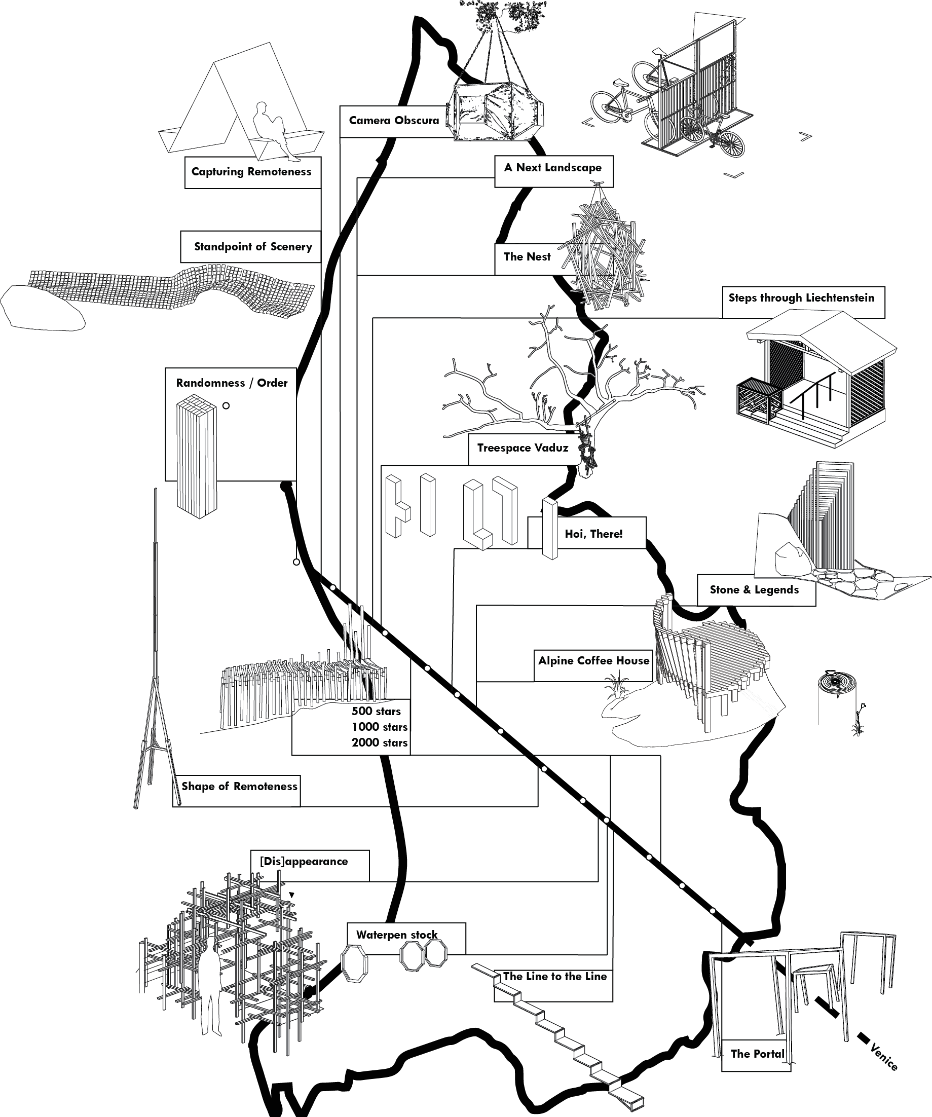
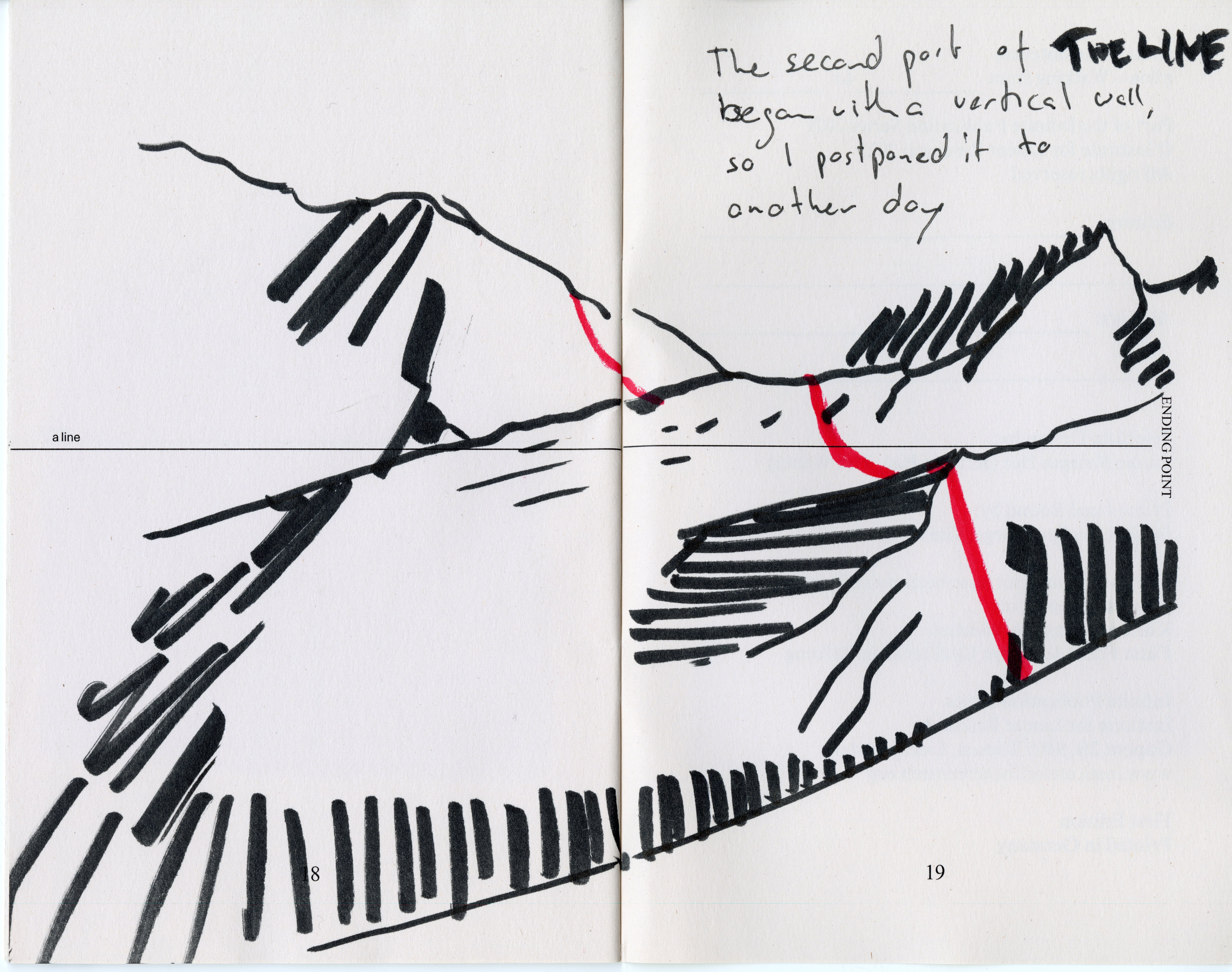
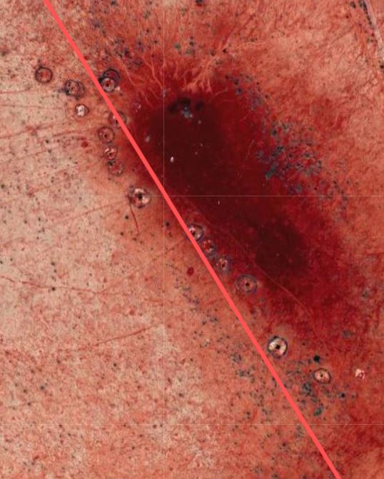
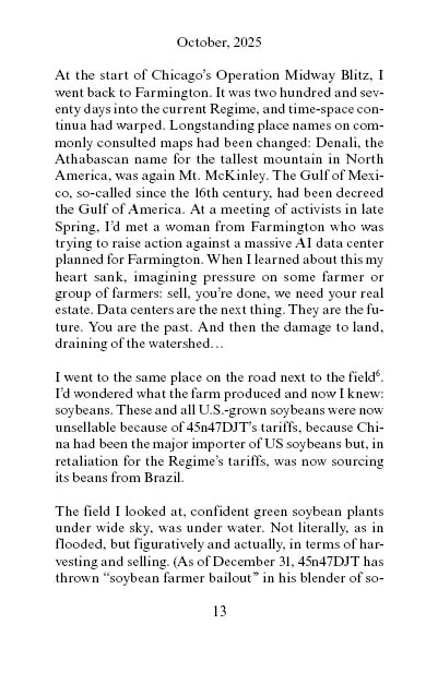
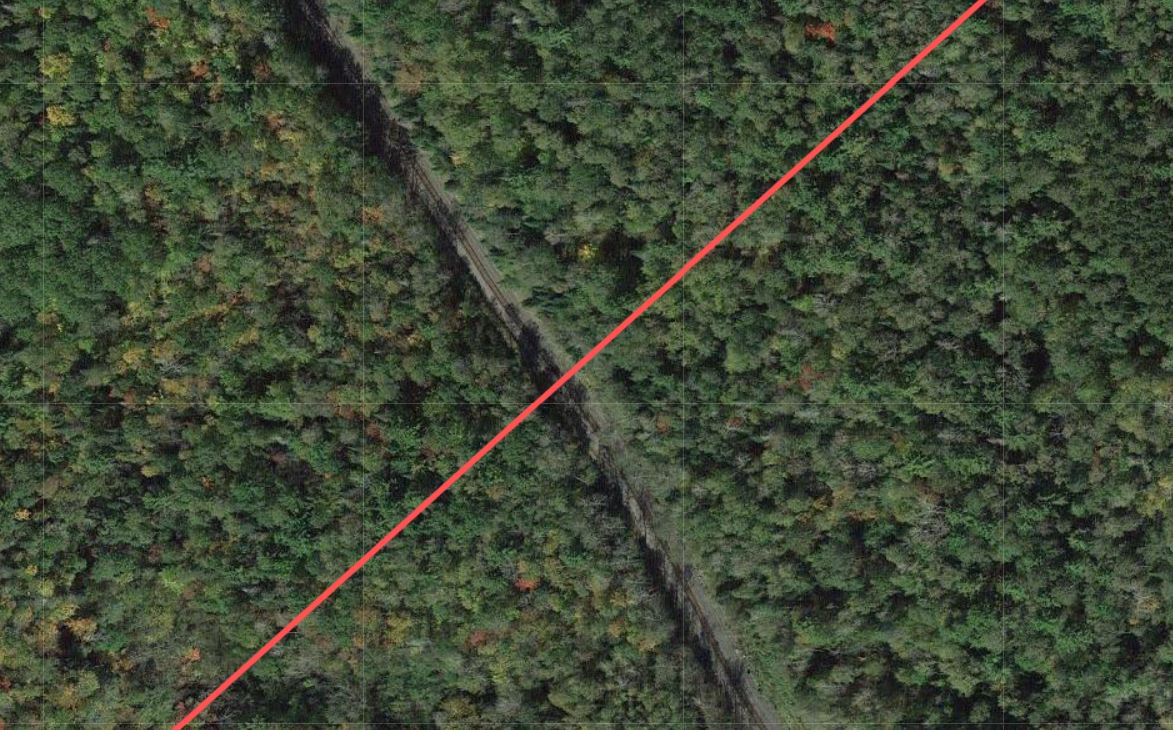
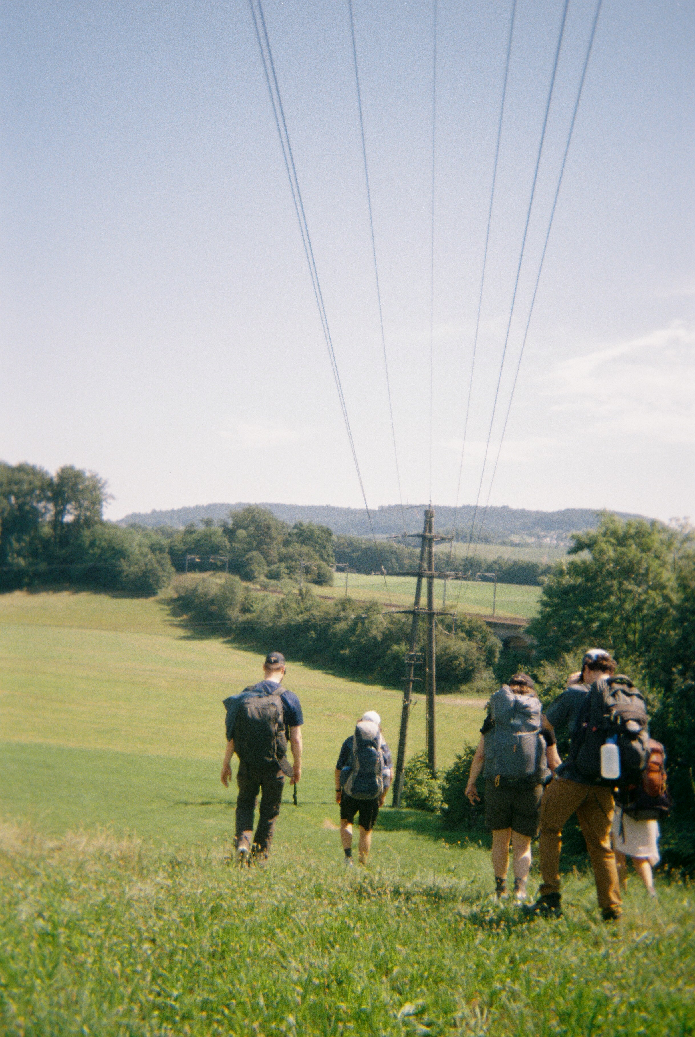
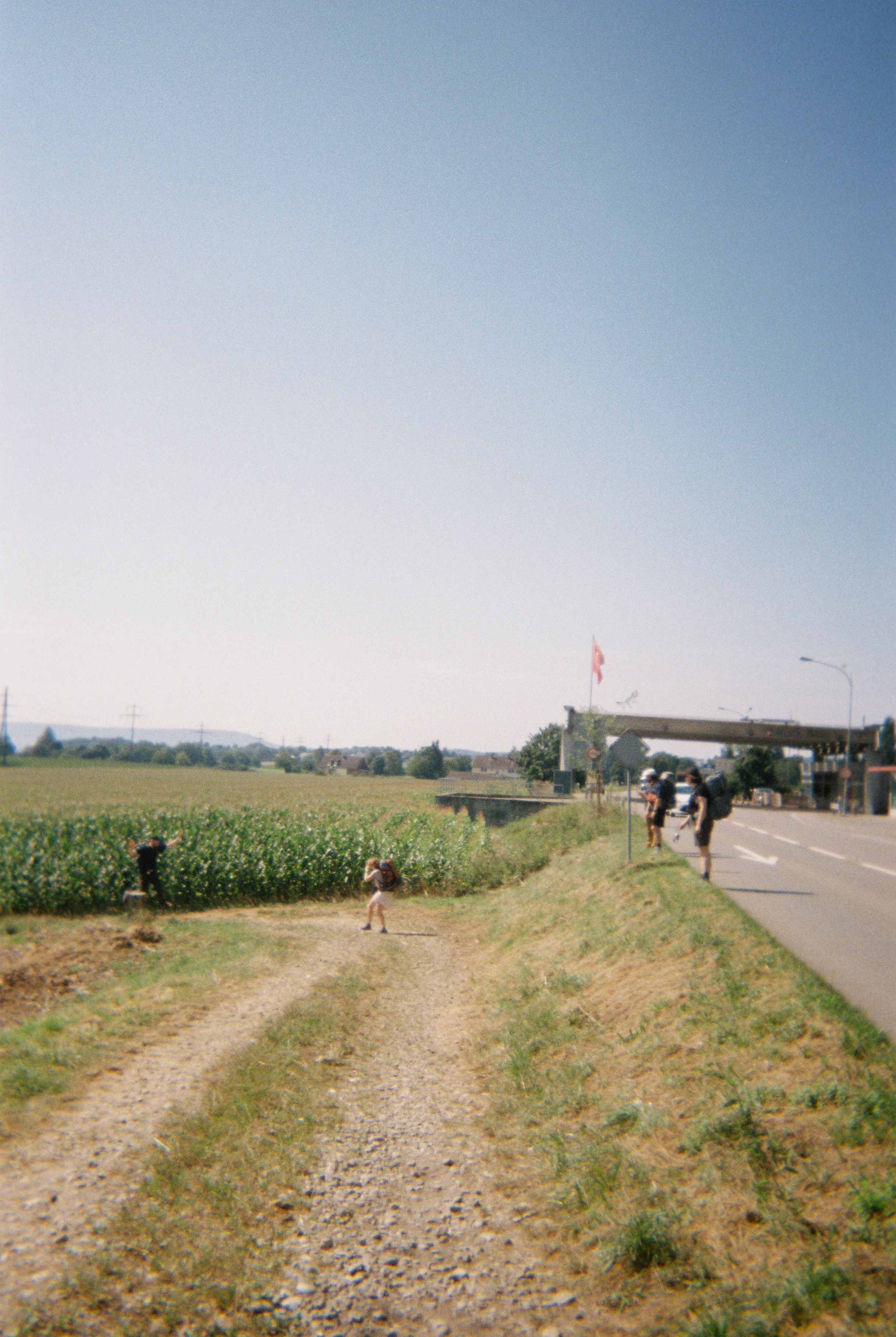
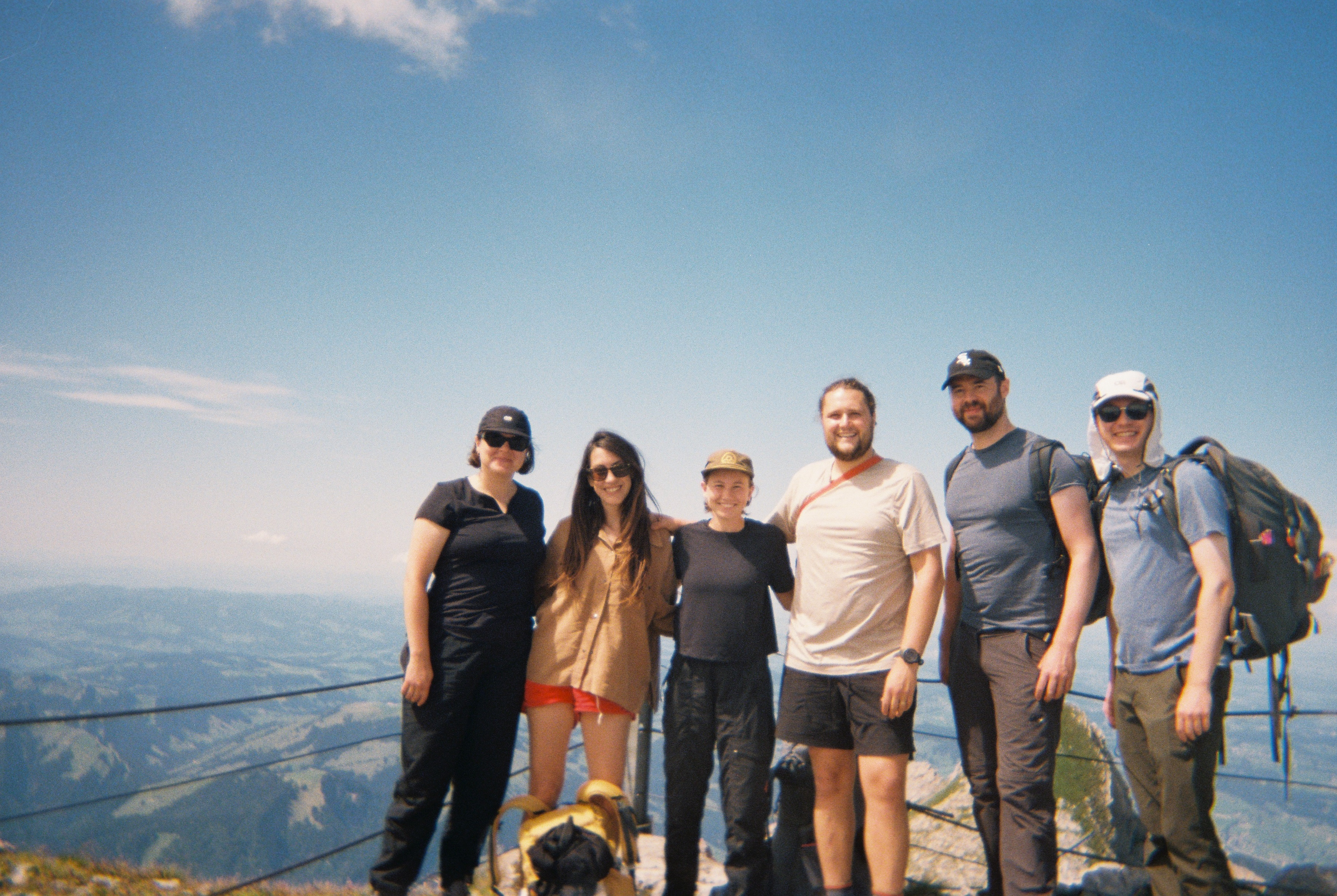
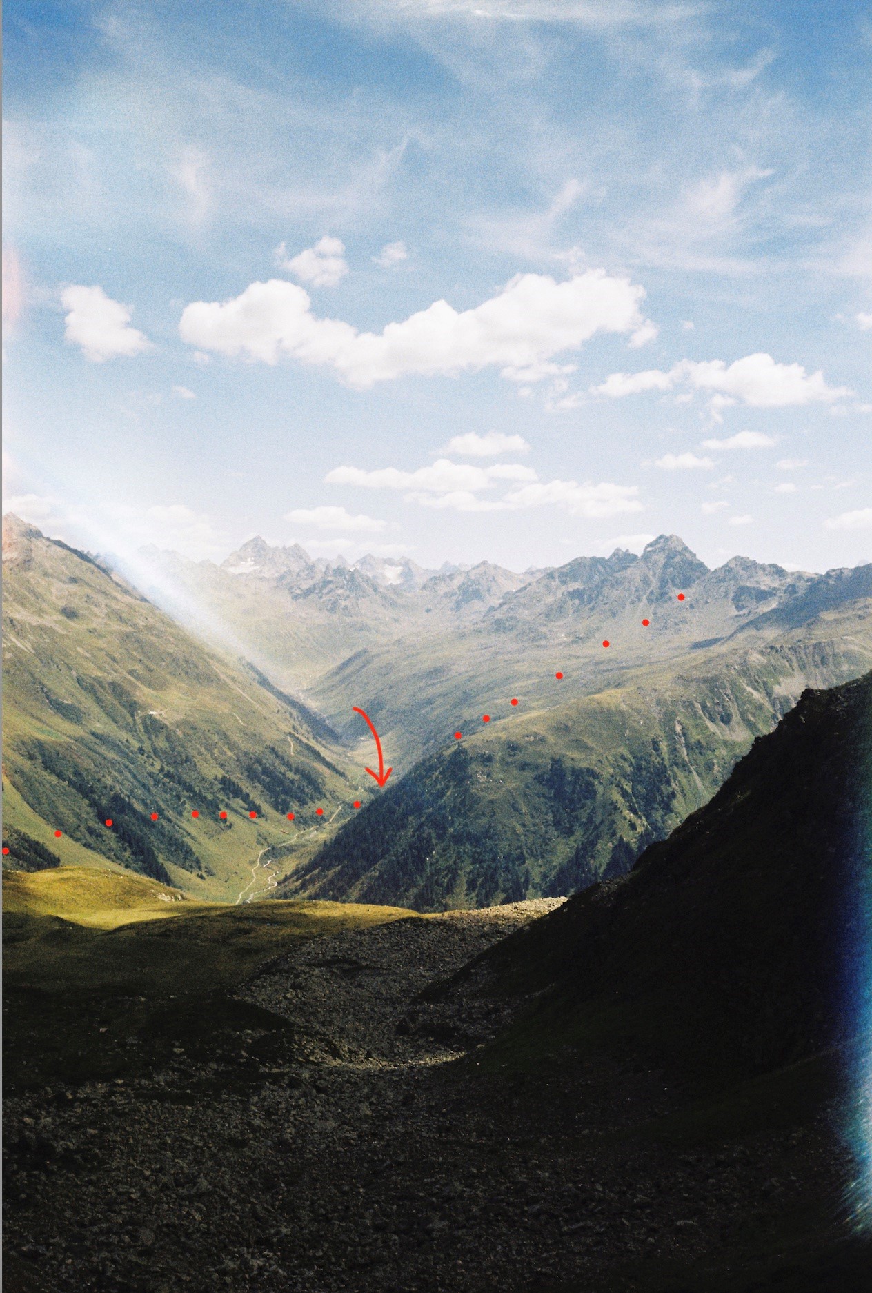
THE LINE
![]()
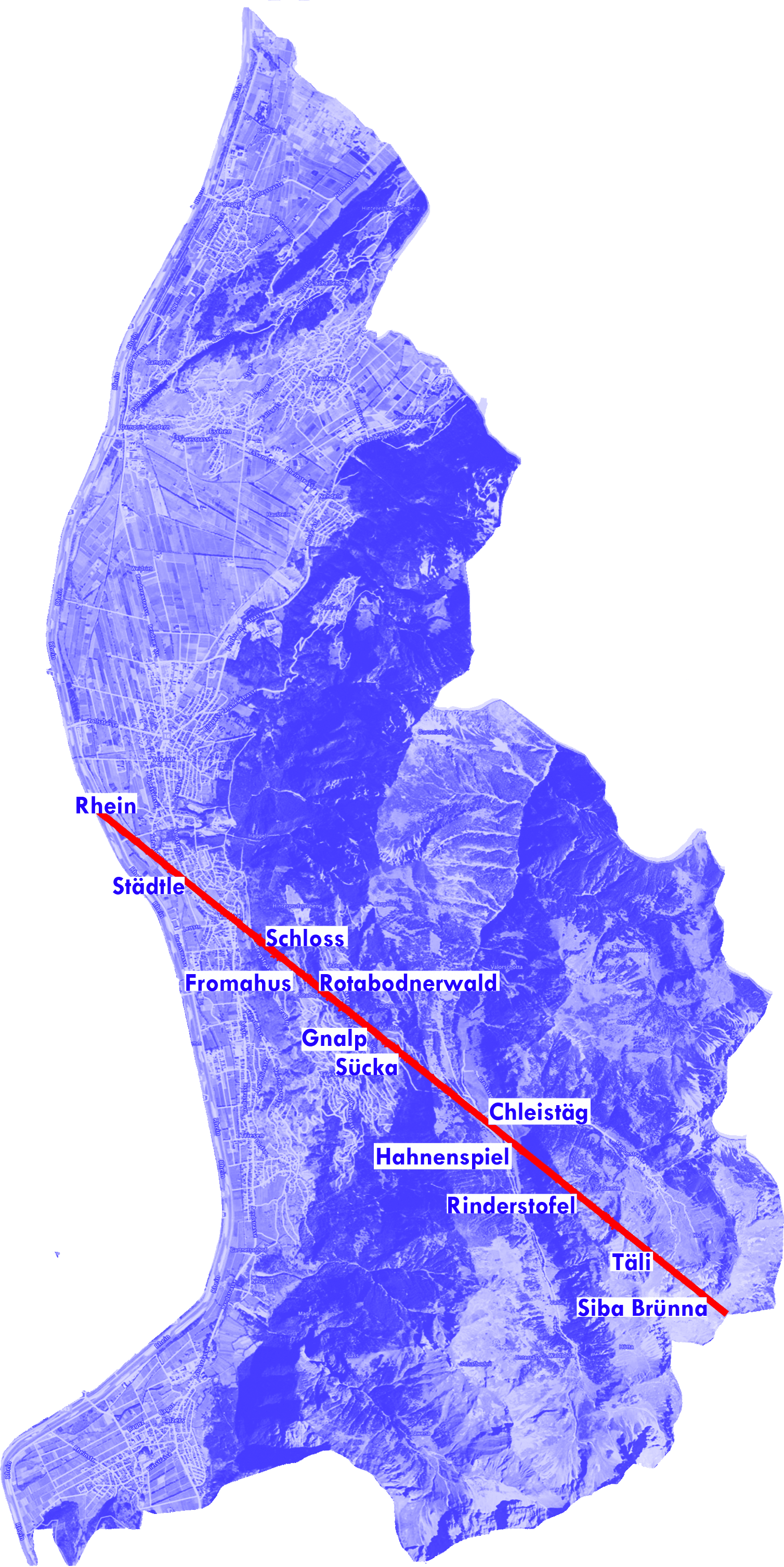
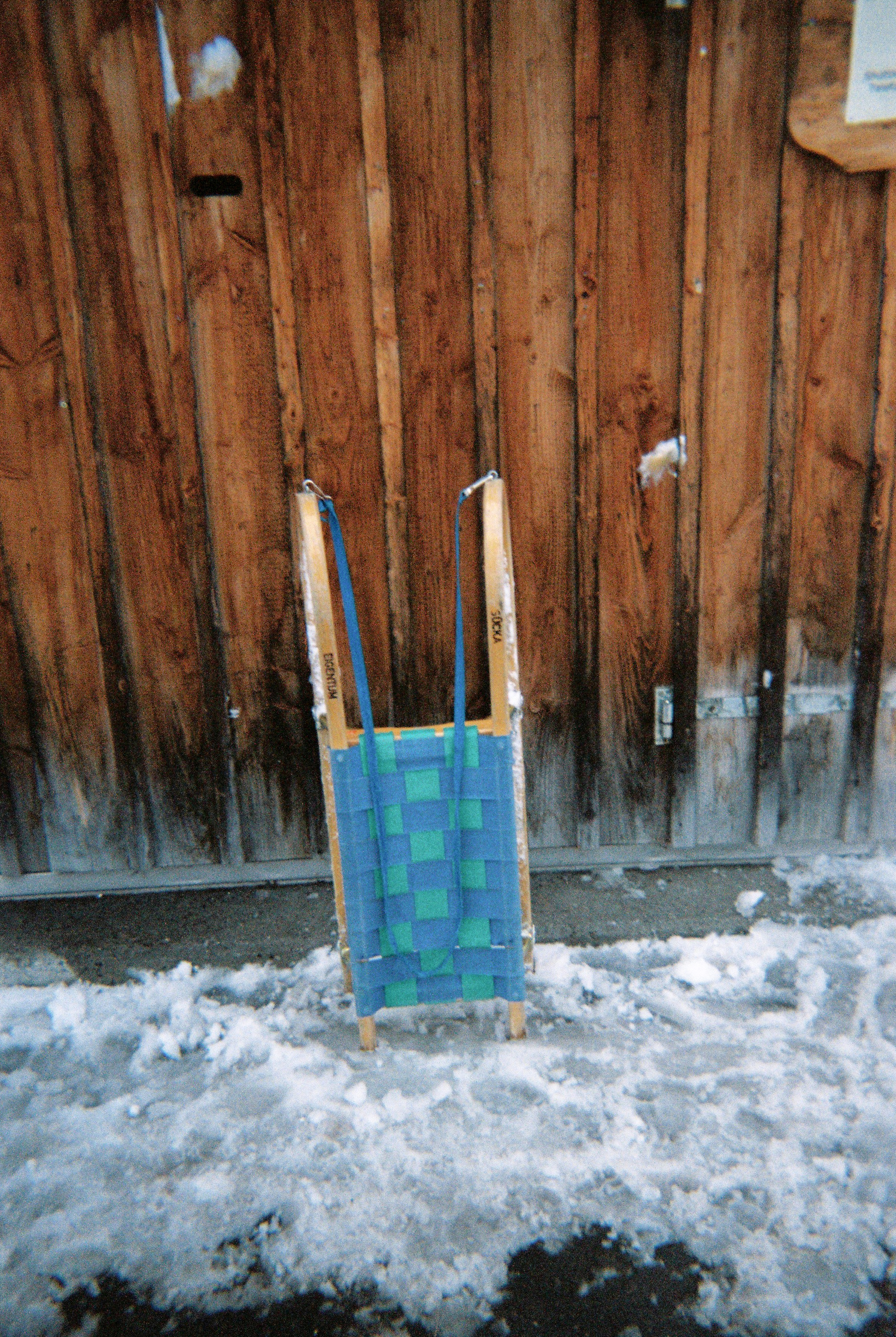
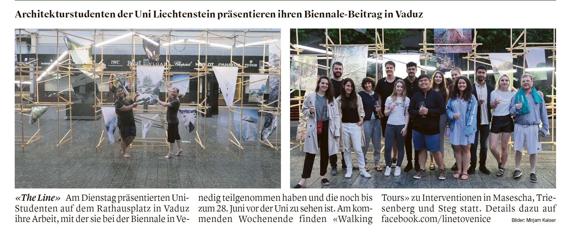
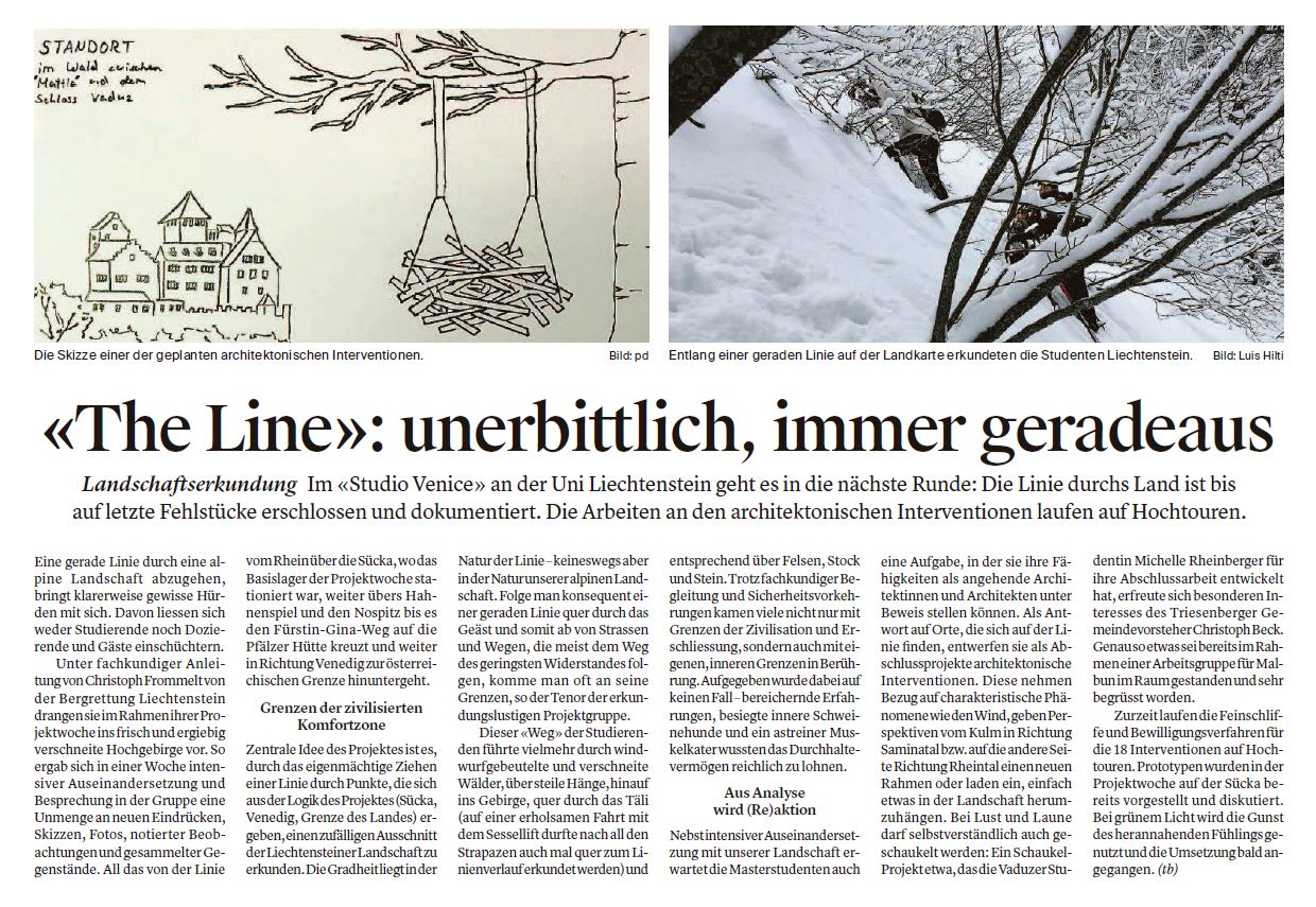
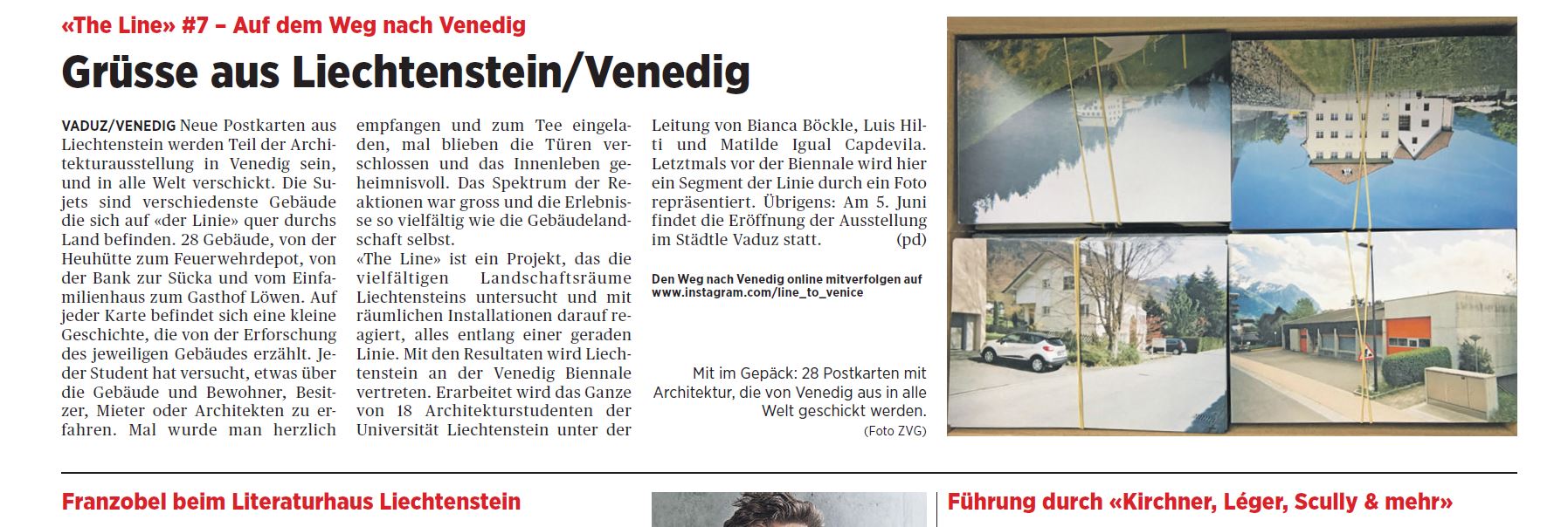
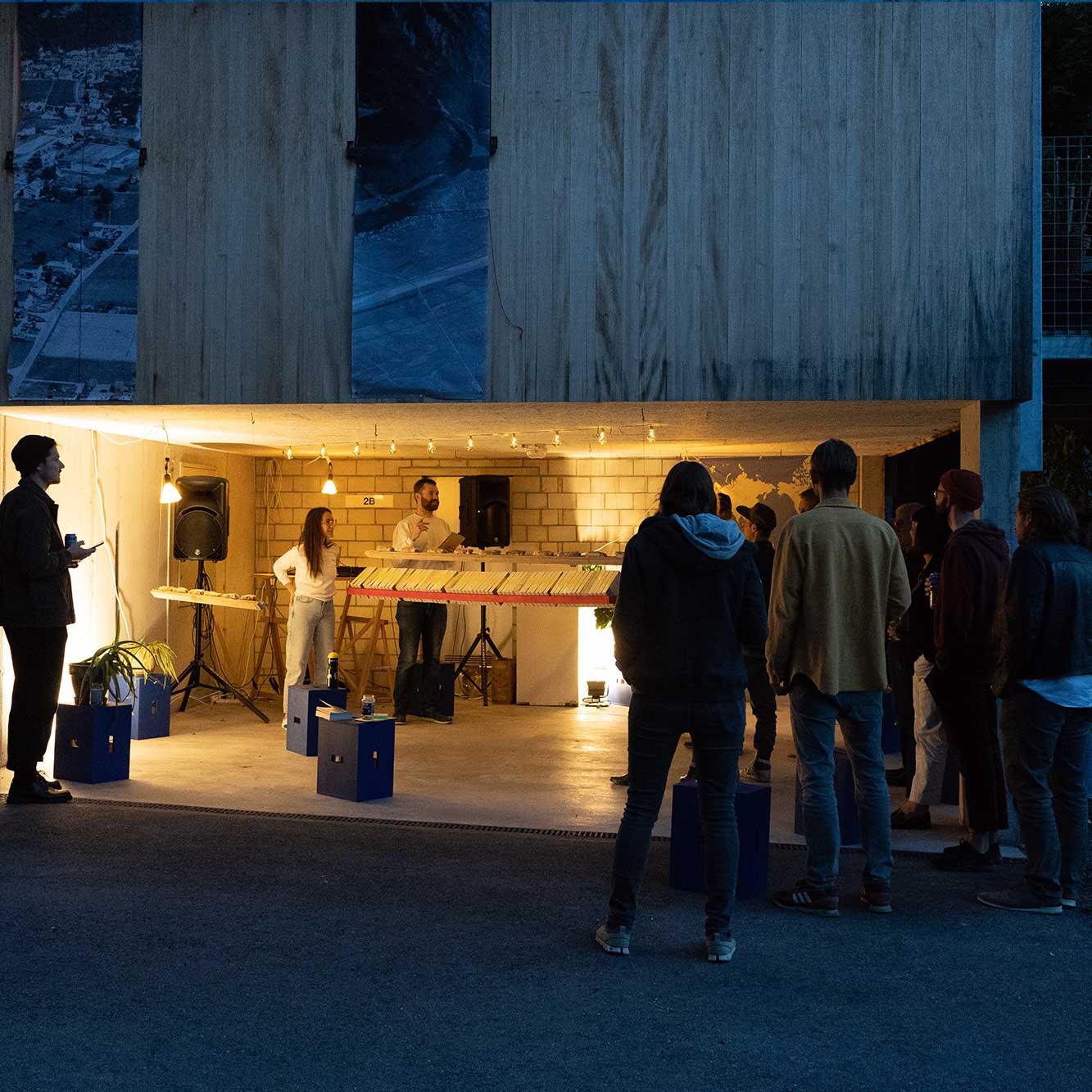
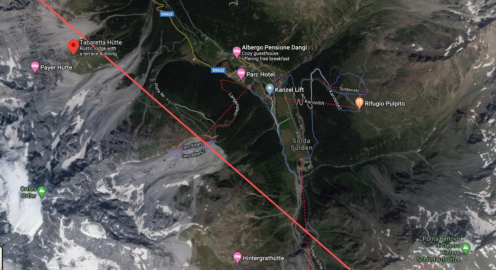
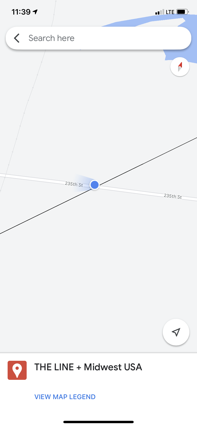
THE LINE is defined by two points. One point is the onset of the first walk by the Institute for Linear Research (guesthouse Sücka, Liechtenstein) the other one is the coordinate of the first exhibition on remoteness by the ILR (Palazzo Trevisan, Venice).
︎︎︎To become a member of the ILR, you may chose a point on THE LINE, go there and start walking along THE LINE, explore remoteness, send your findings to the Institute for Linear Research and publish your research in the Infinite Publication Series and contribute to THE LINE: Atlas of Remoteness
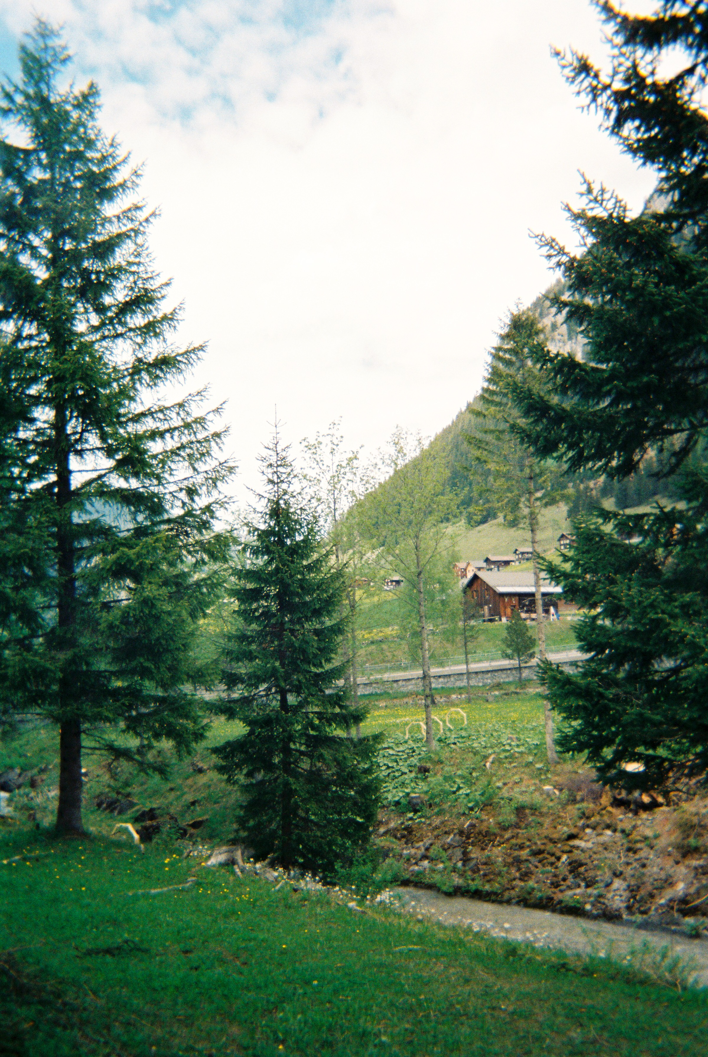
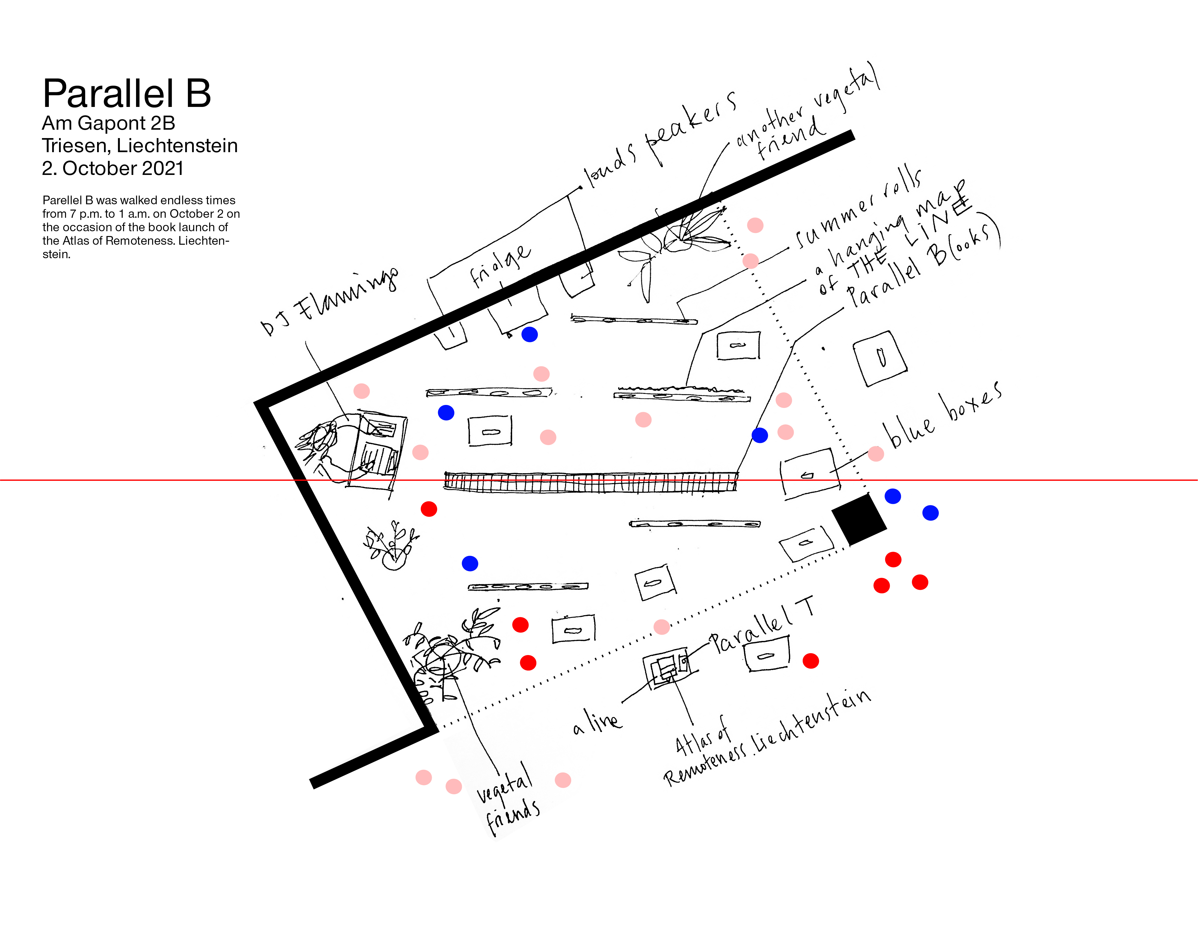
Parallels
![]()
Parallels are lines offset from THE LINE, anywhere on earth. Each new parallel extends the emerging linear coordinate system which is ordered by directionality rather than distance.
︎︎︎To become a collaborator of the ILR, you may chose a point on the Earth and draw a Parallel to THE LINE, embark on a collaboration with the ILR along the Parallel, exploring remoteness through Linear Research and together with the ILR compile your findings and publish them in the IPS’s Linear Archive within the series Parallels: Atlas of Remoteness
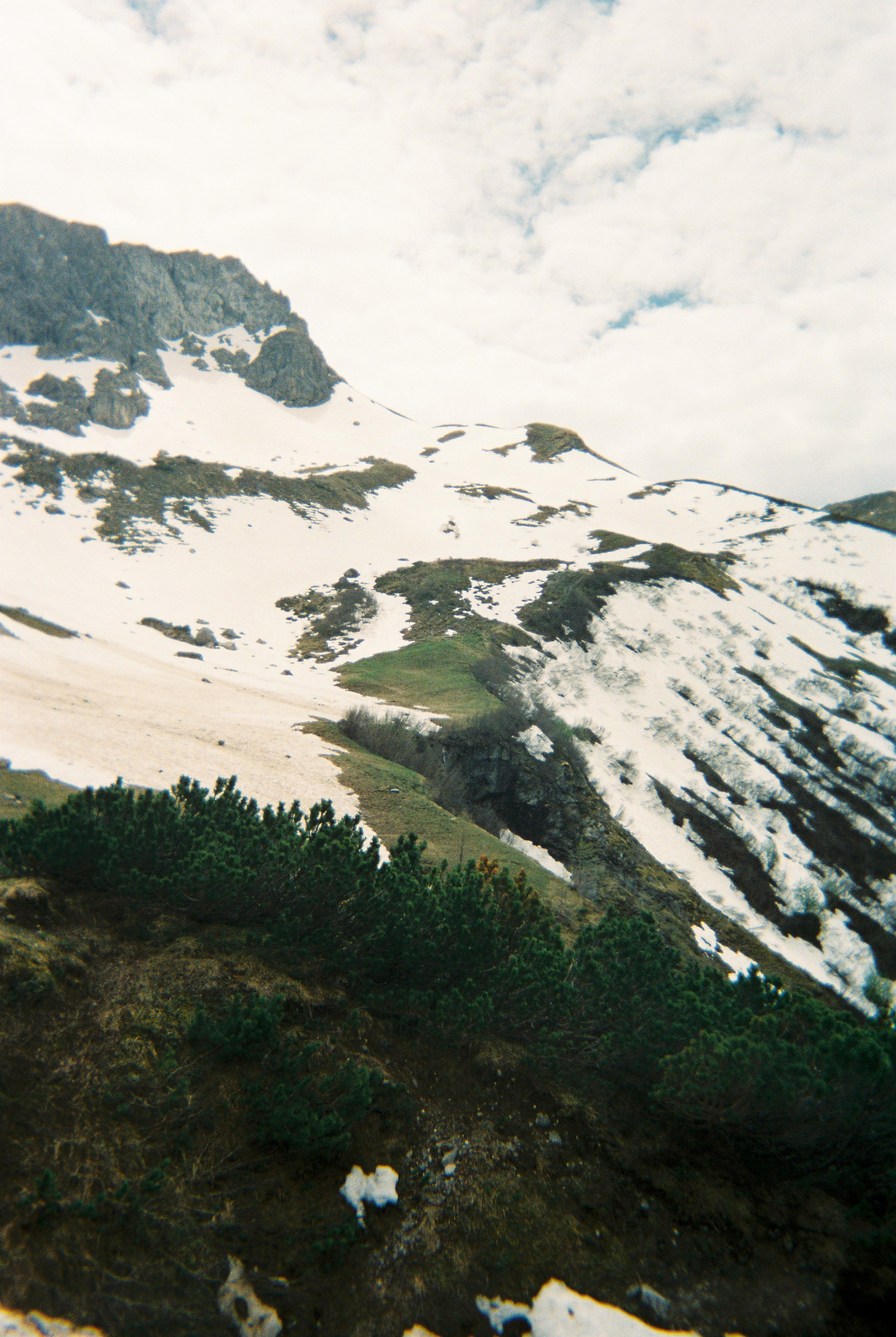
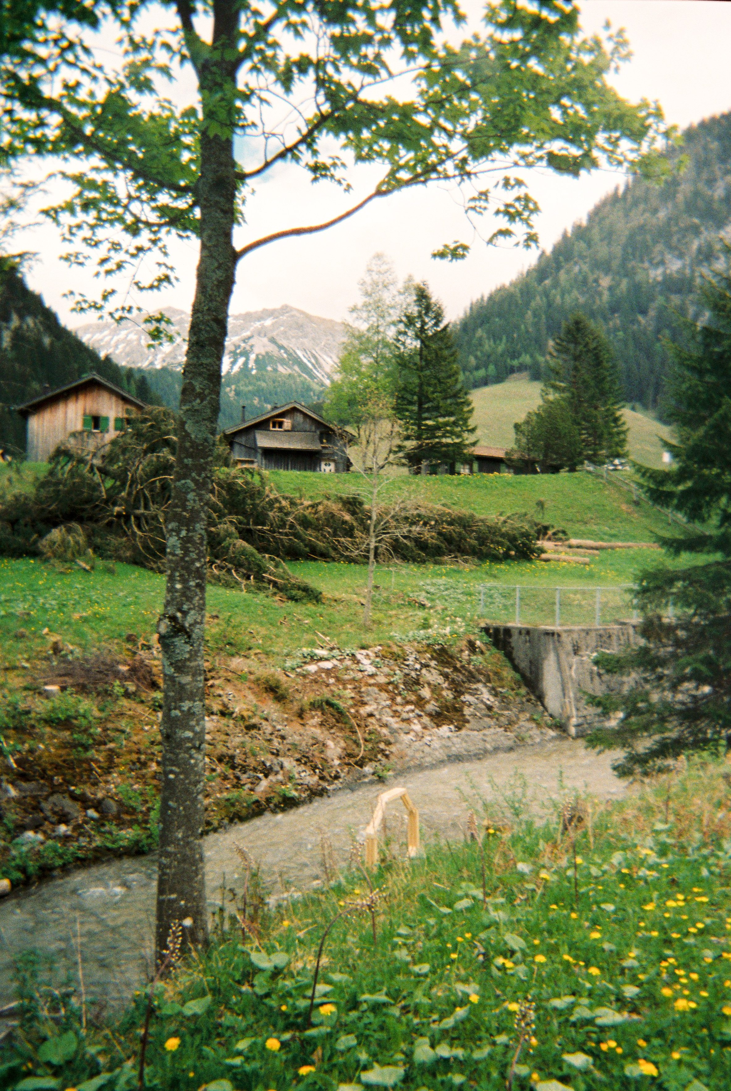
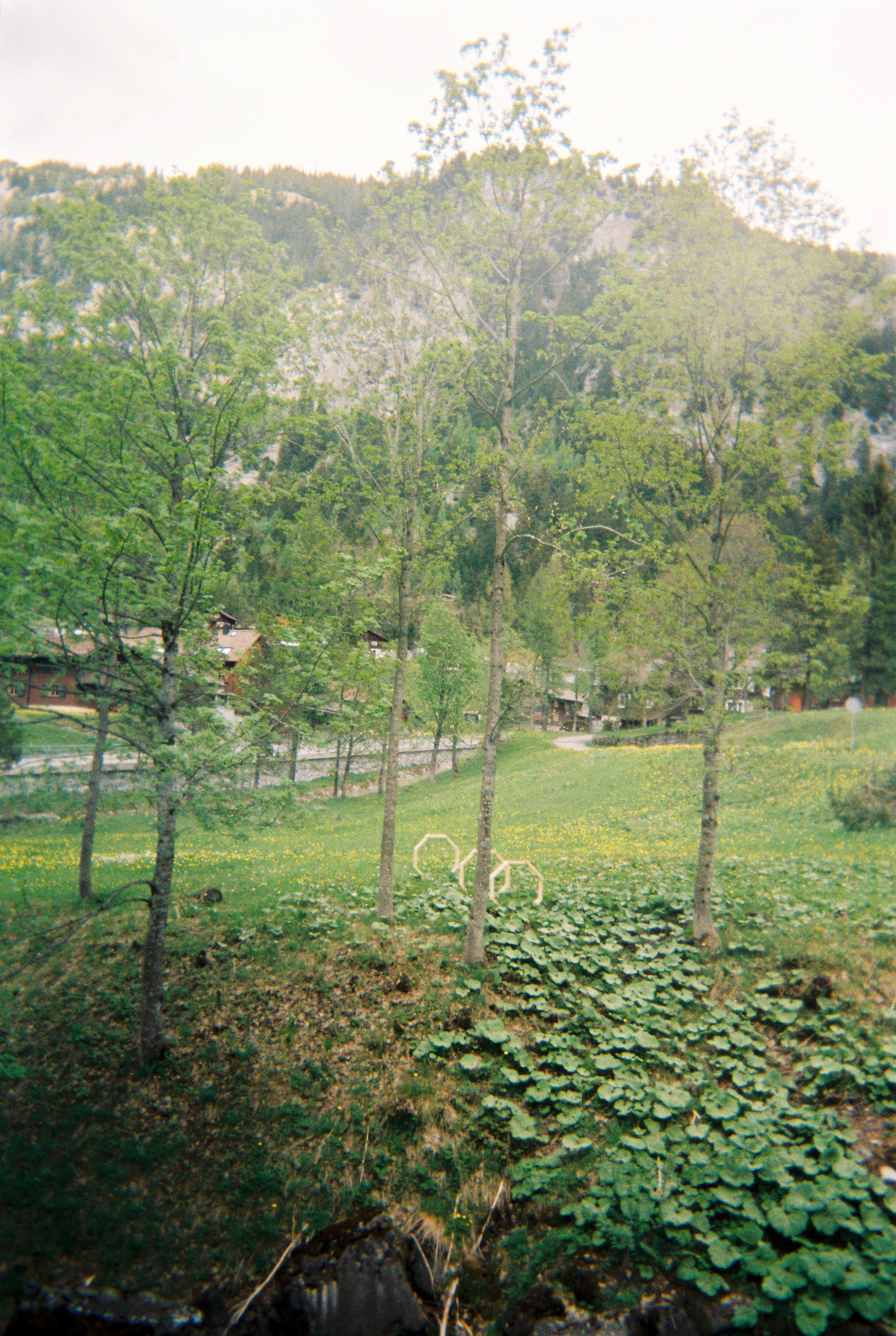
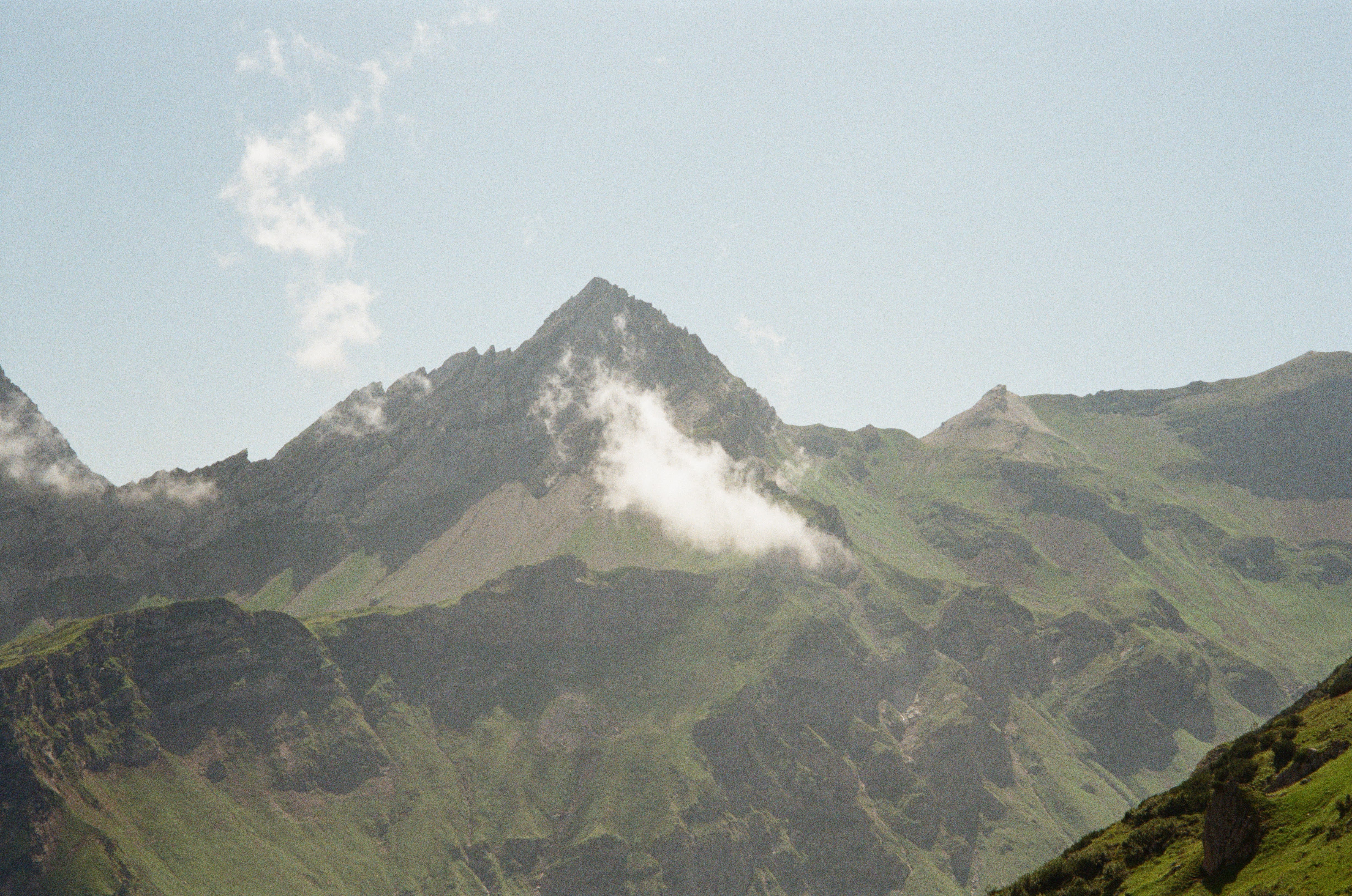
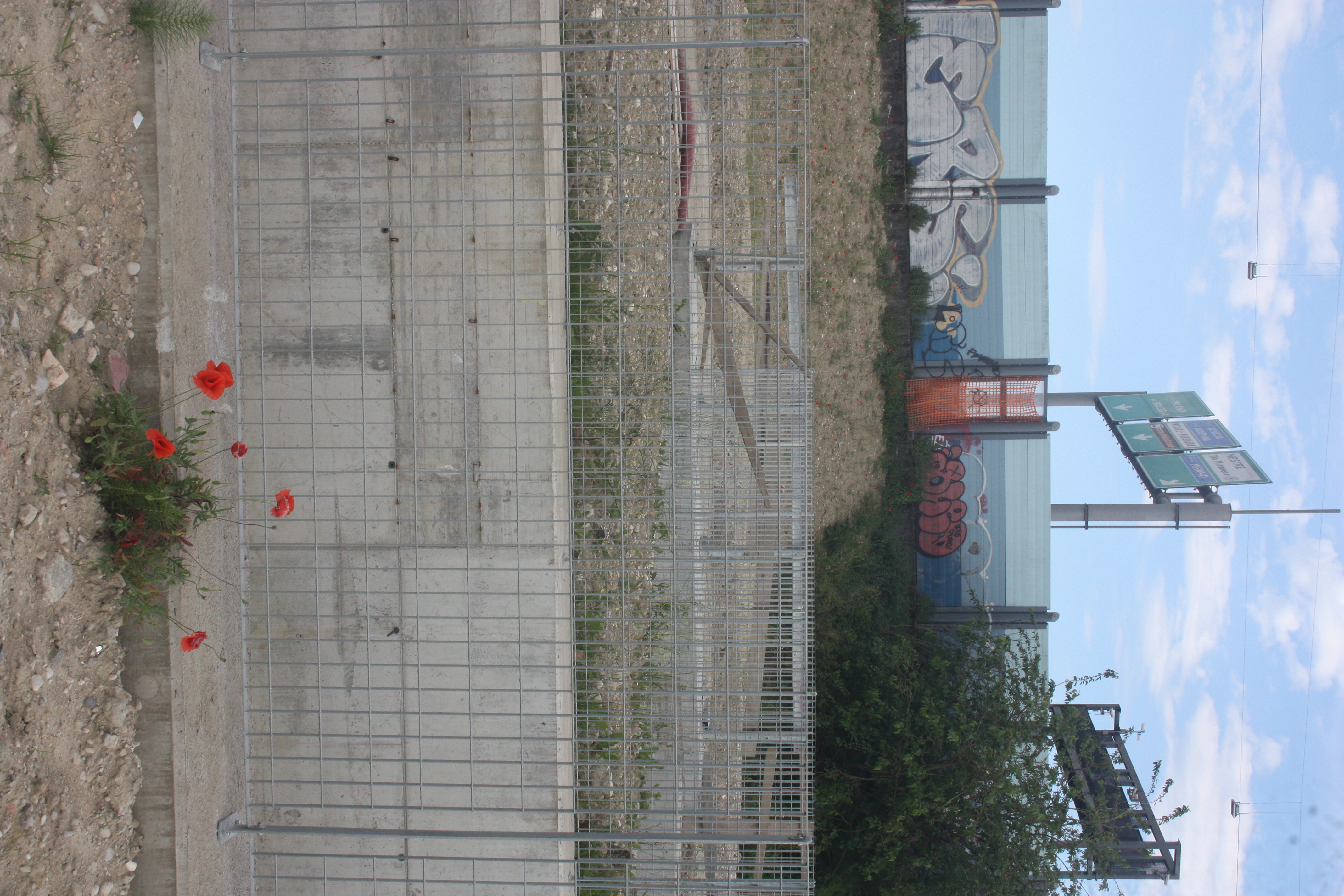
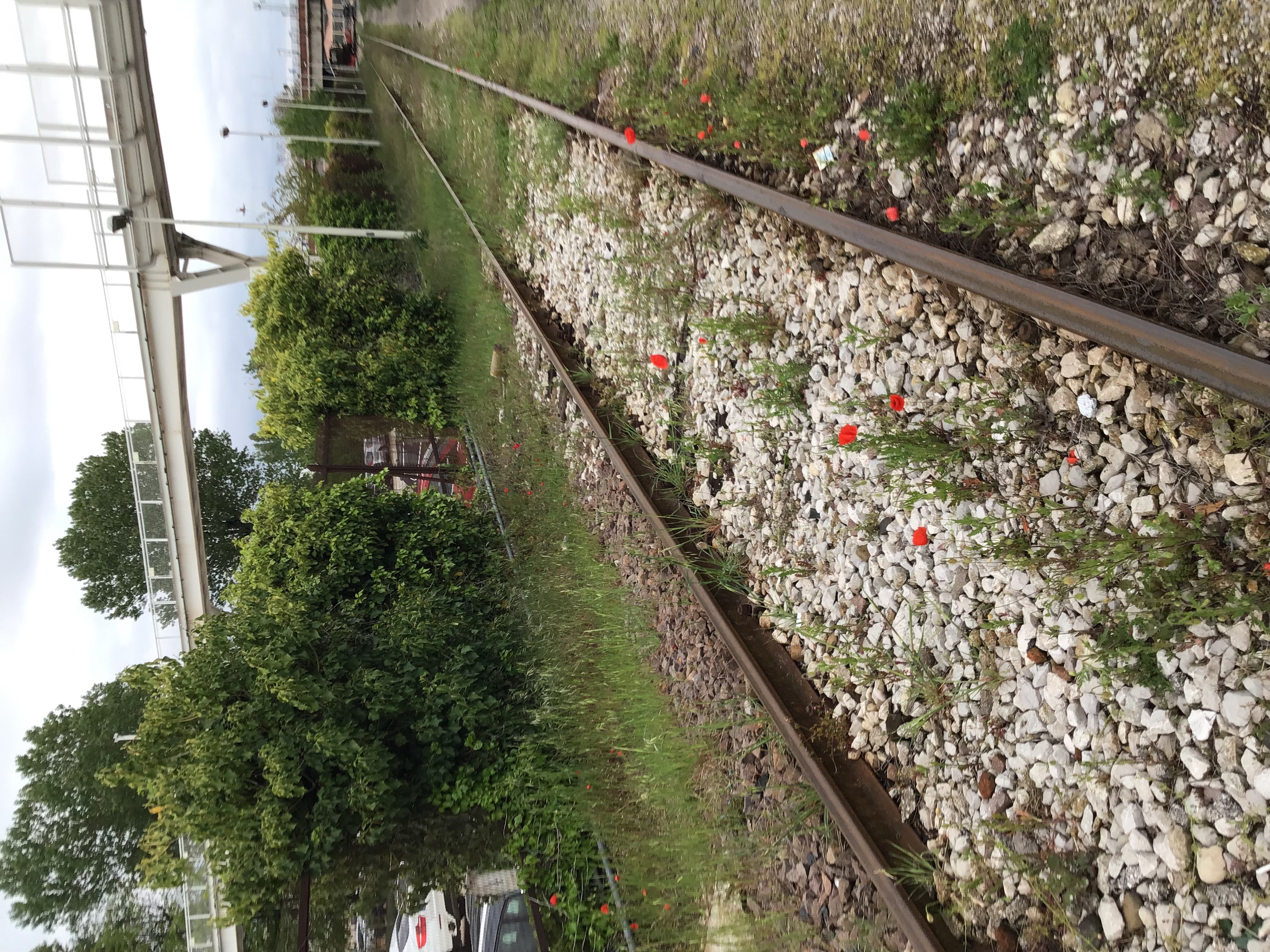
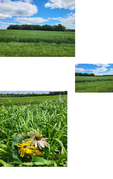
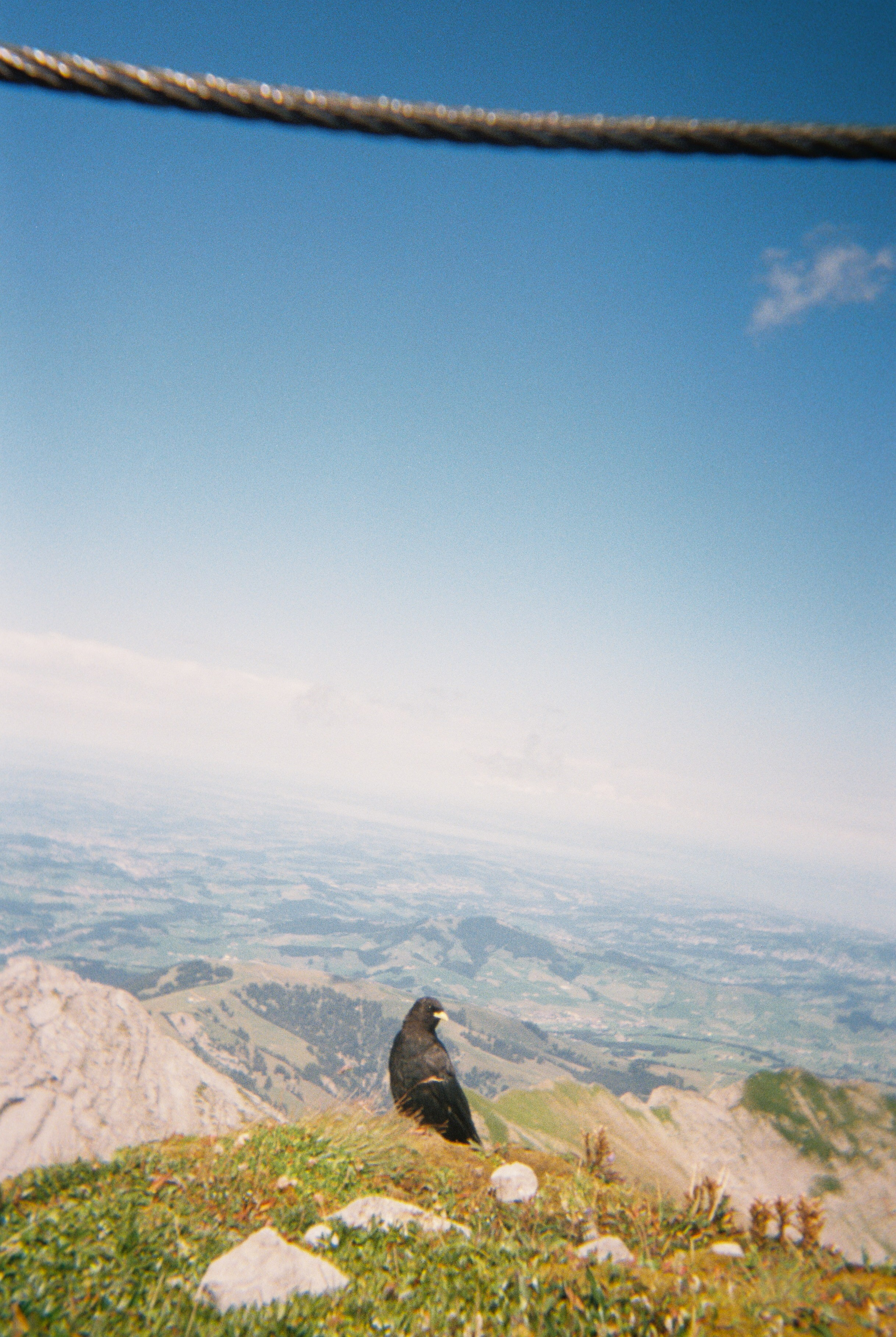
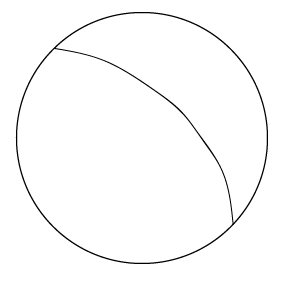
a line
![]()
a line is an imaginary line without curvature projected on the earth.
︎︎︎To become a contributor to the Atlas of Remoteness, you may chose a line on the Earth, get a Linear Logbook from the ILR, walk along the chosen line, map remoteness and send the logbook to the Institute to be published on the IPS’s Linear Archive
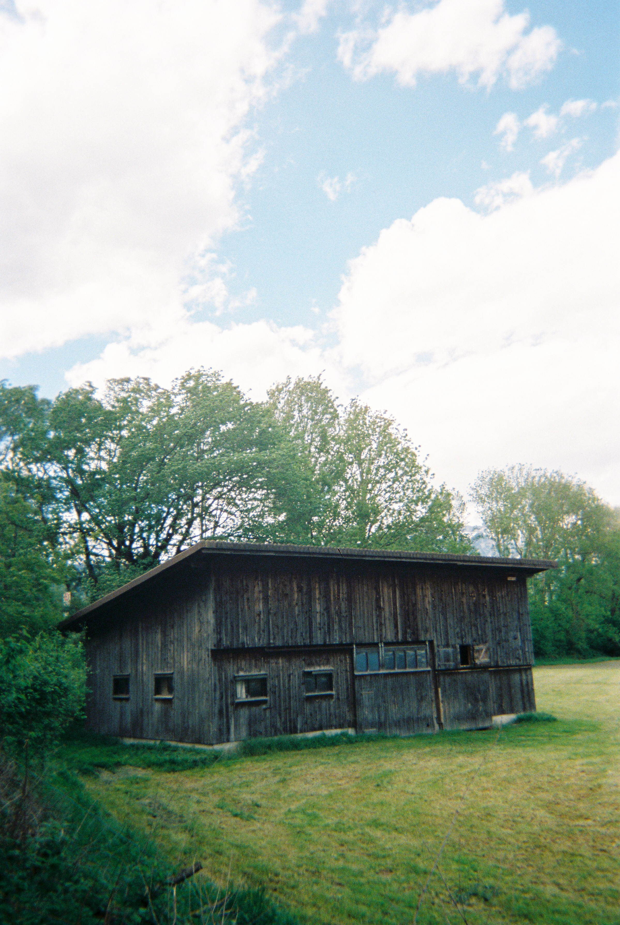
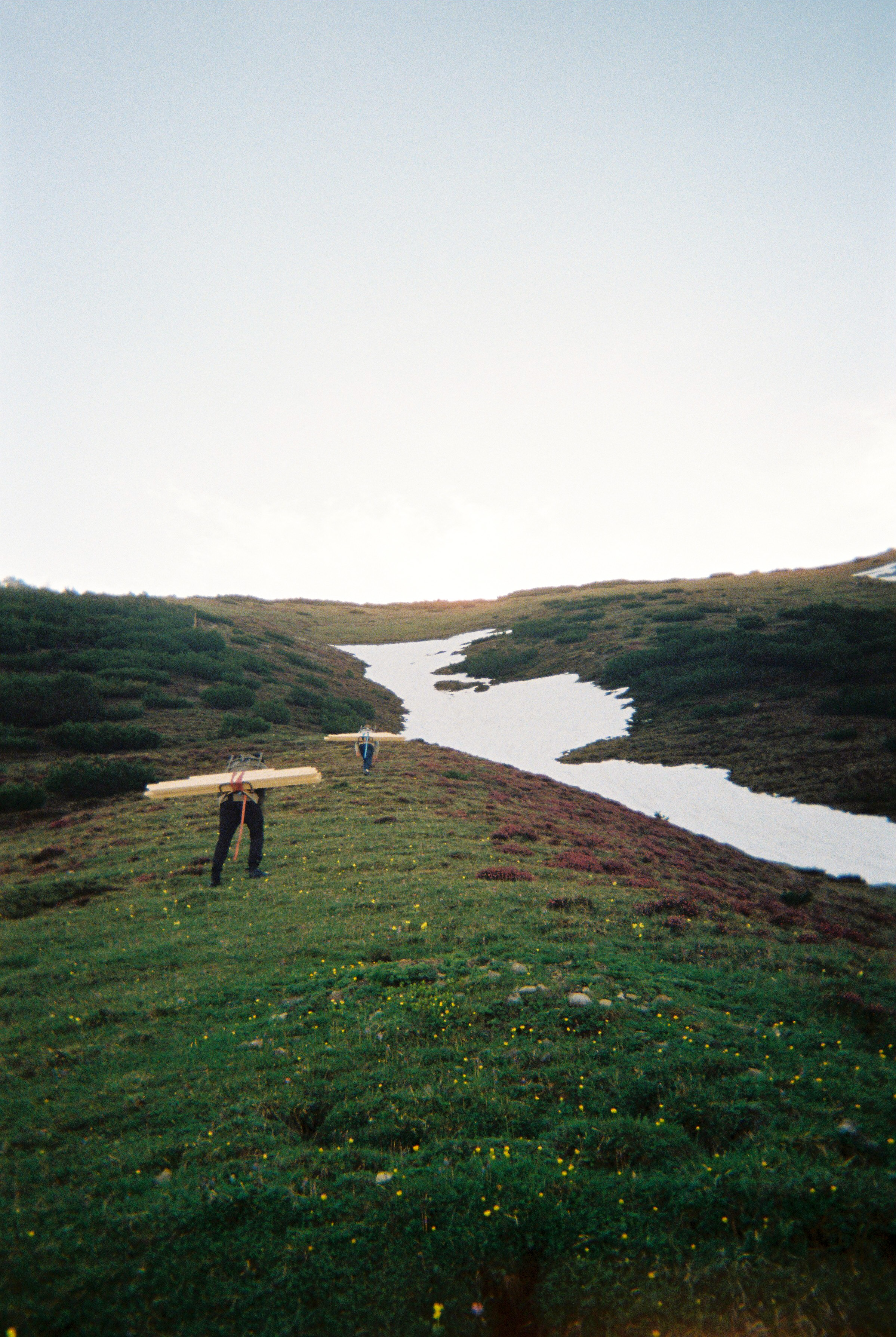
Linear Research
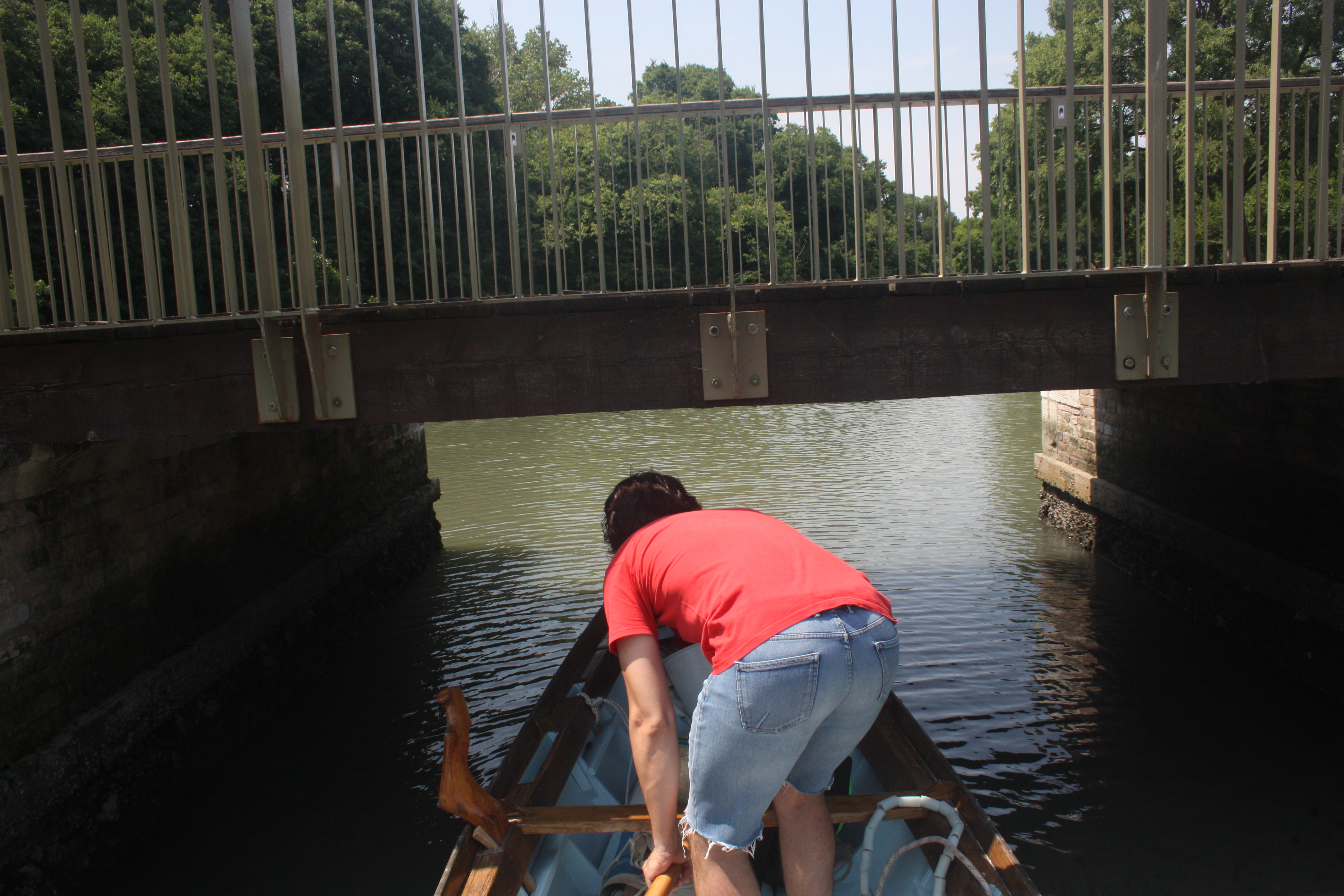
Linear Research is based on imposing non-effective, imaginary lines on contemporary landscapes. Not to be confused with its conceptual opposite: effective lines, such as territorial borders. Methods of Linear Research include, but are not limited to Linear Walking and Linear Mapping.
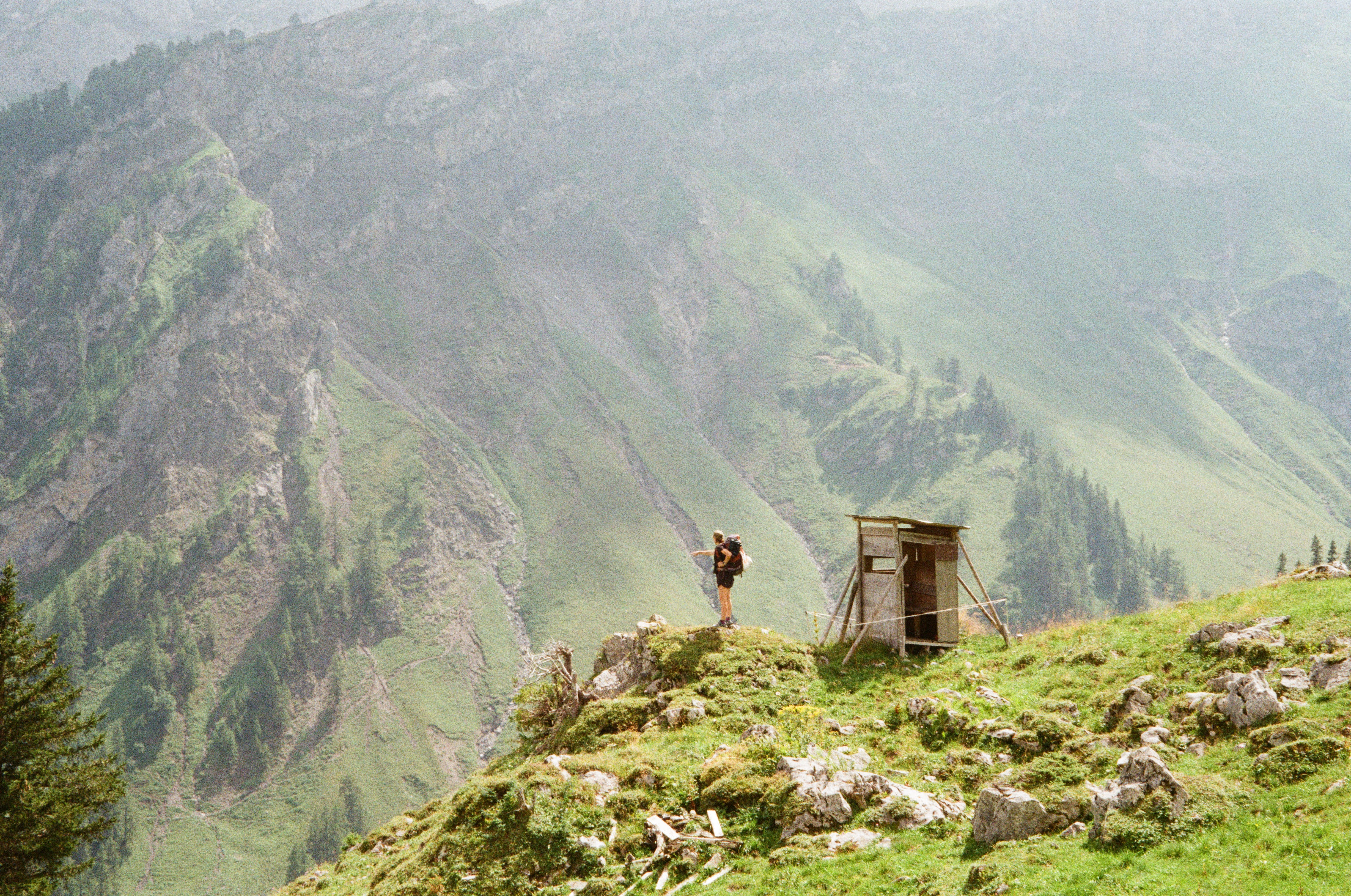
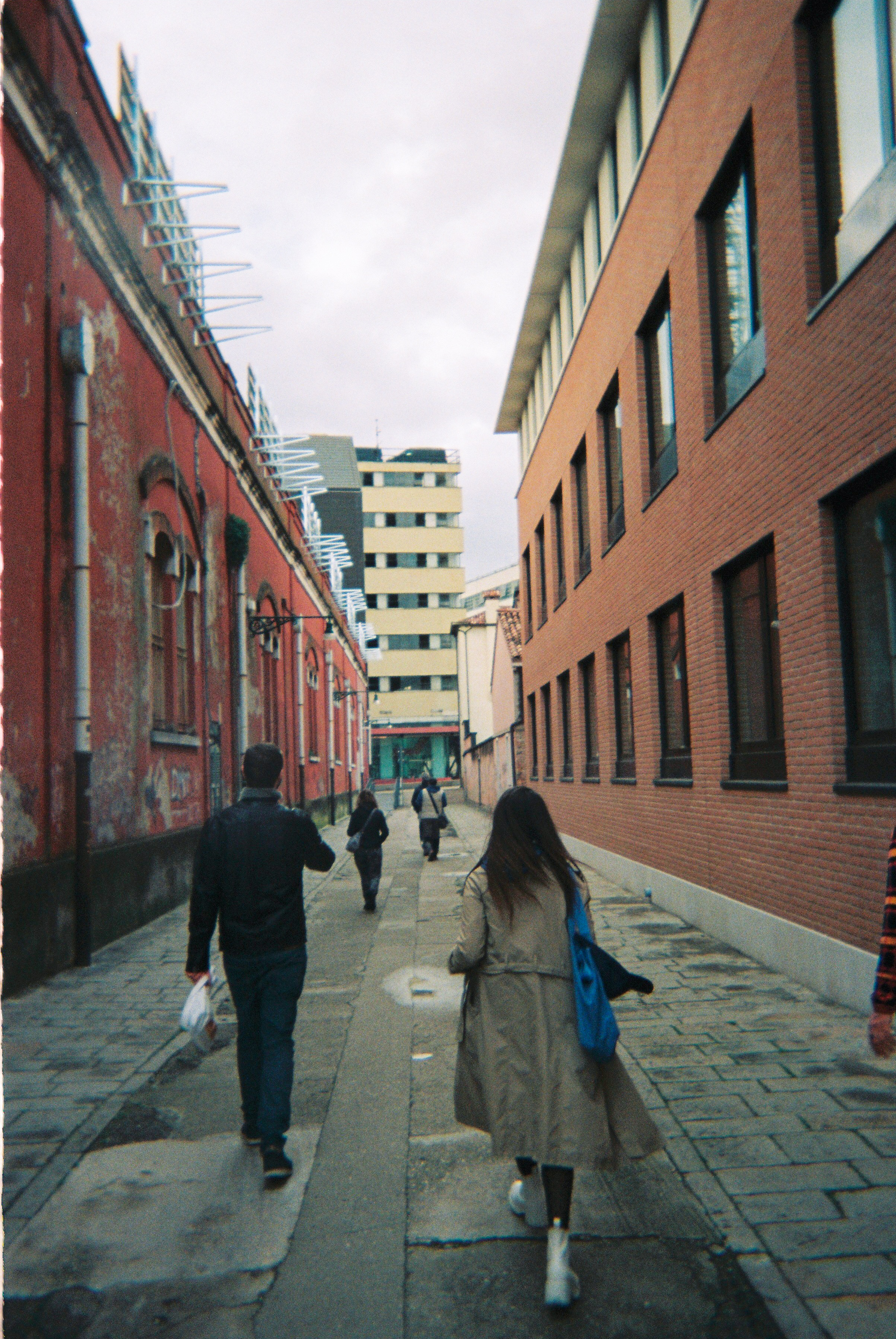
Linear Walking
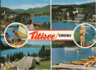
Linear Walking is understood as the locomotion of the human body and includes but is not limited to ambulating, climbing, canoeing, swimming and roping in a straight line across a given territory
Linear Walking is understood as the locomotion of the human body and includes but is not limited to ambulating, climbing, canoeing, swimming and roping in a straight line across a given territory
Linear Mapping
Linear Mapping means the translation of sensory experience, reasoning or imaginations that occur during linear walks to paper
Linear Mapping means the translation of sensory experience, reasoning or imaginations that occur during linear walks to paper
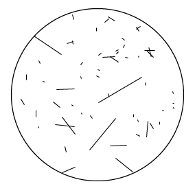
Linear informational research
Linear informational research relates to retrieving and connecting information of any kind related to spaces crossed by a straight line
Linear informational research relates to retrieving and connecting information of any kind related to spaces crossed by a straight line
Contact ︎
Feel free to get in touch with us if you want to join the Institute or have a concept for a walk.
If in Europe or Africa and for general inquiries, send us an e-mail to: info@instituteforlinearresearch.org
If in North America (Mexico, USA or Canada), write to: midwest@instituteforlinearresearch.org
or, even better, send a letter to:
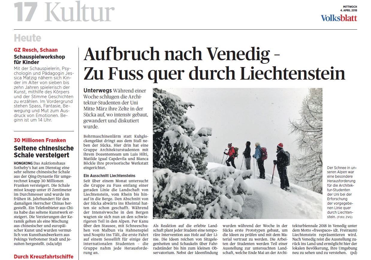
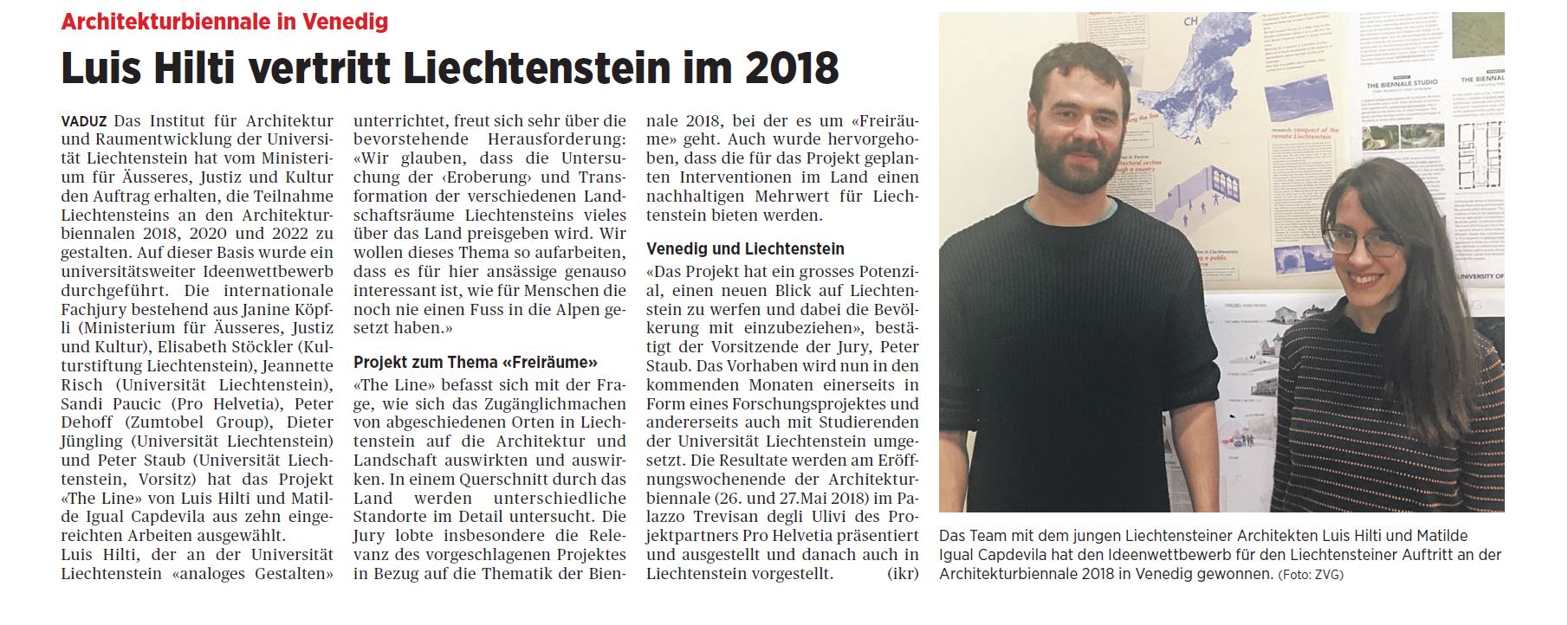
The Institute was founded by Luis Hilti and Matilde Igual Capdevila in 2019 as a follow-up of the project THE LINE, developped with Studio Venice, representing Liechtenstein at the Venice Biennale of Architecture in 2018.
Luis works as an architect and researcher in Schaan, Liechtenstein.
Matilde works as an urban researcher in València, Spain.
Together they have collaborated in various projects since 2009.
In 2024 a North American branch of the Institute for Linear Research was founded. Their contact is Meg Lundquist who works as an architect in Minneapolis, USA.
If in Europe or Africa and for general inquiries, send us an e-mail to: info@instituteforlinearresearch.org
If in North America (Mexico, USA or Canada), write to: midwest@instituteforlinearresearch.org
or, even better, send a letter to:
Institute for Linear Research
Im Bretscha 2
9494 Schaan
Liechtenstein
Im Bretscha 2
9494 Schaan
Liechtenstein
The Institute was founded by Luis Hilti and Matilde Igual Capdevila in 2019 as a follow-up of the project THE LINE, developped with Studio Venice, representing Liechtenstein at the Venice Biennale of Architecture in 2018.
Luis works as an architect and researcher in Schaan, Liechtenstein.
Matilde works as an urban researcher in València, Spain.
Together they have collaborated in various projects since 2009.
In 2024 a North American branch of the Institute for Linear Research was founded. Their contact is Meg Lundquist who works as an architect in Minneapolis, USA.

Institute for Linear Research, 2025
This project has been supported by University of Liechtenstein, Future Architecture Platform, Kulturstiftung Liechtenstein, Fürst Franz Josef von Liechtenstein Stiftung, Consorci de Museus de la Generalitat Valenciana through Cultura Online #CMCVaCasa