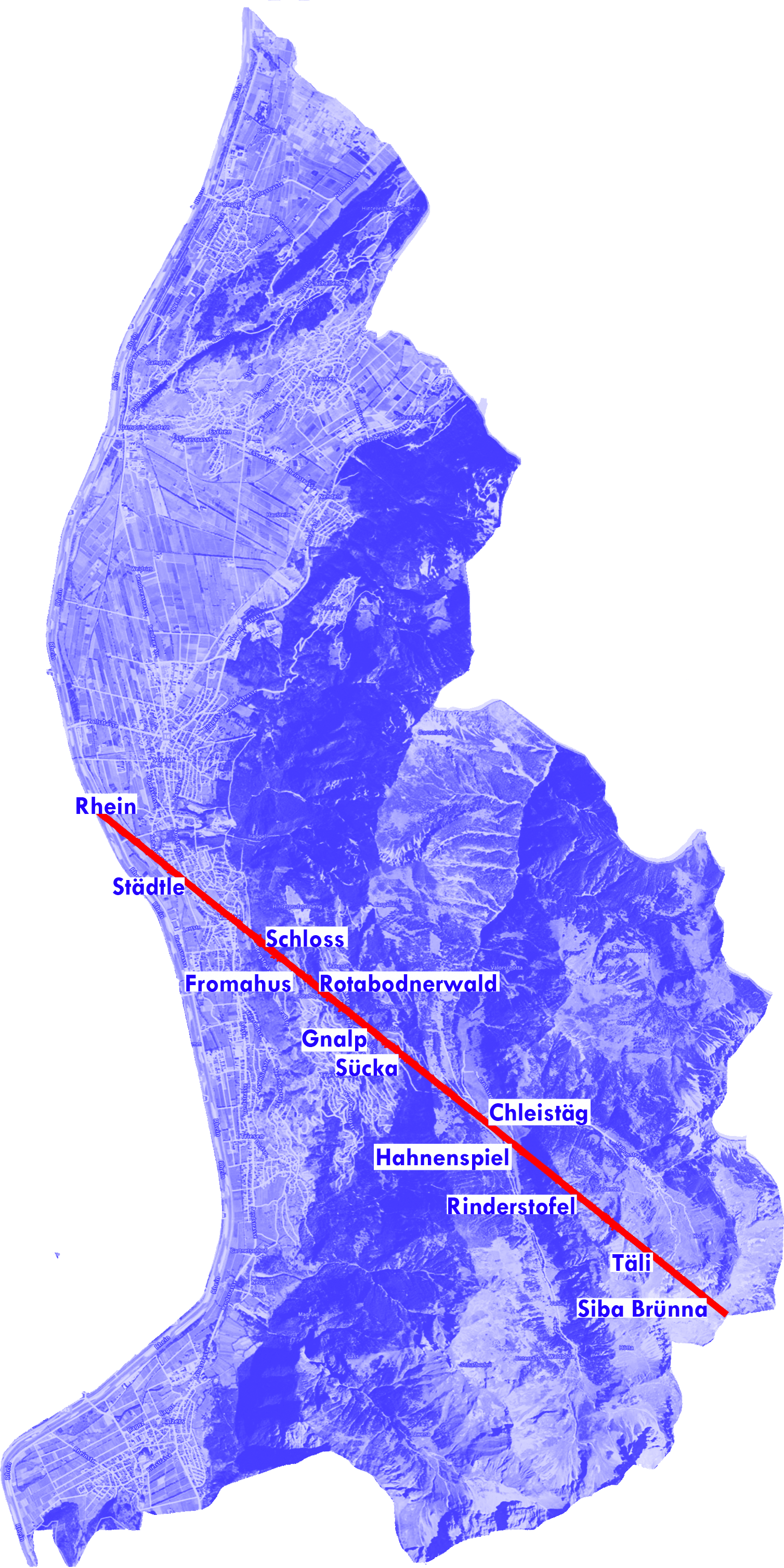
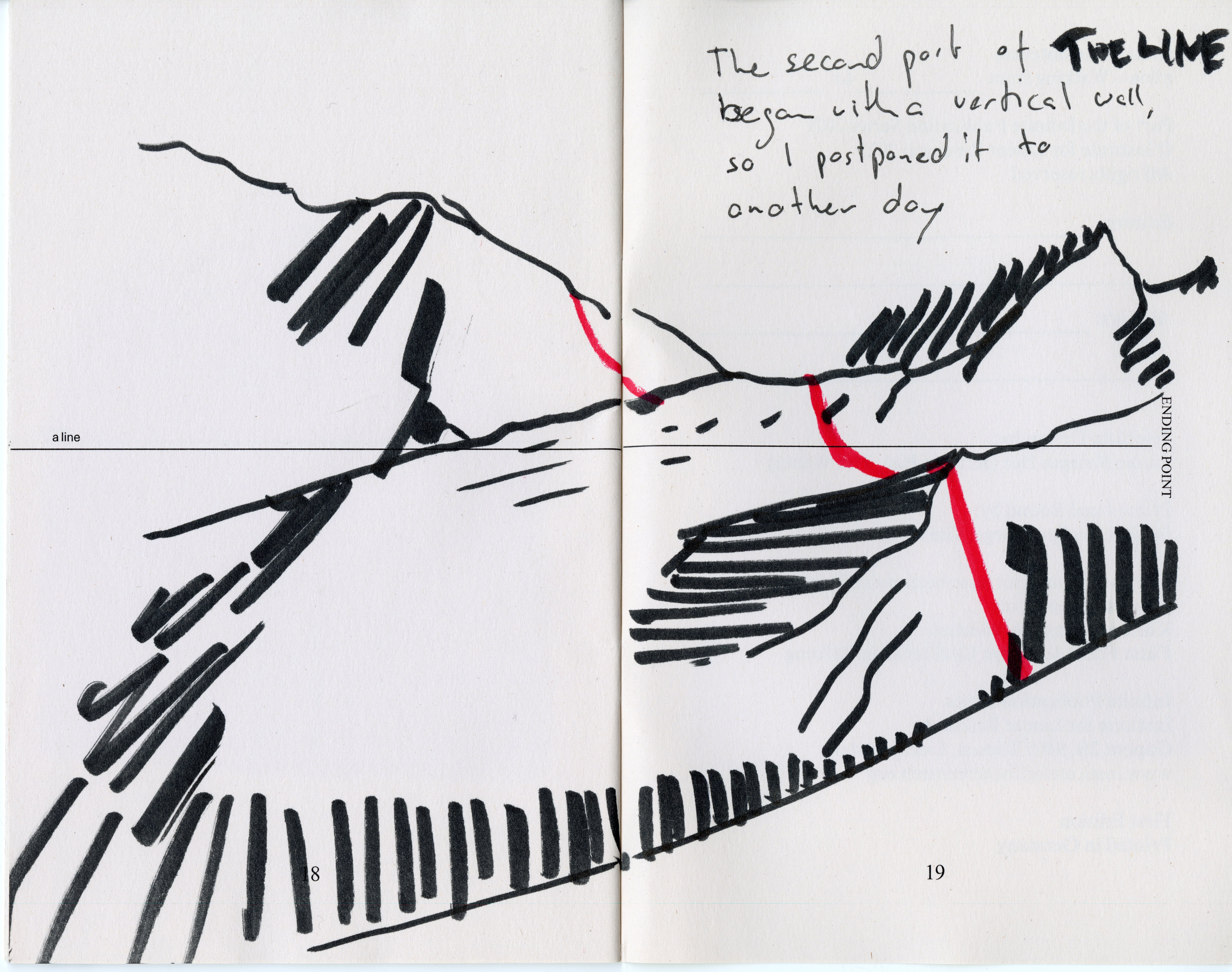
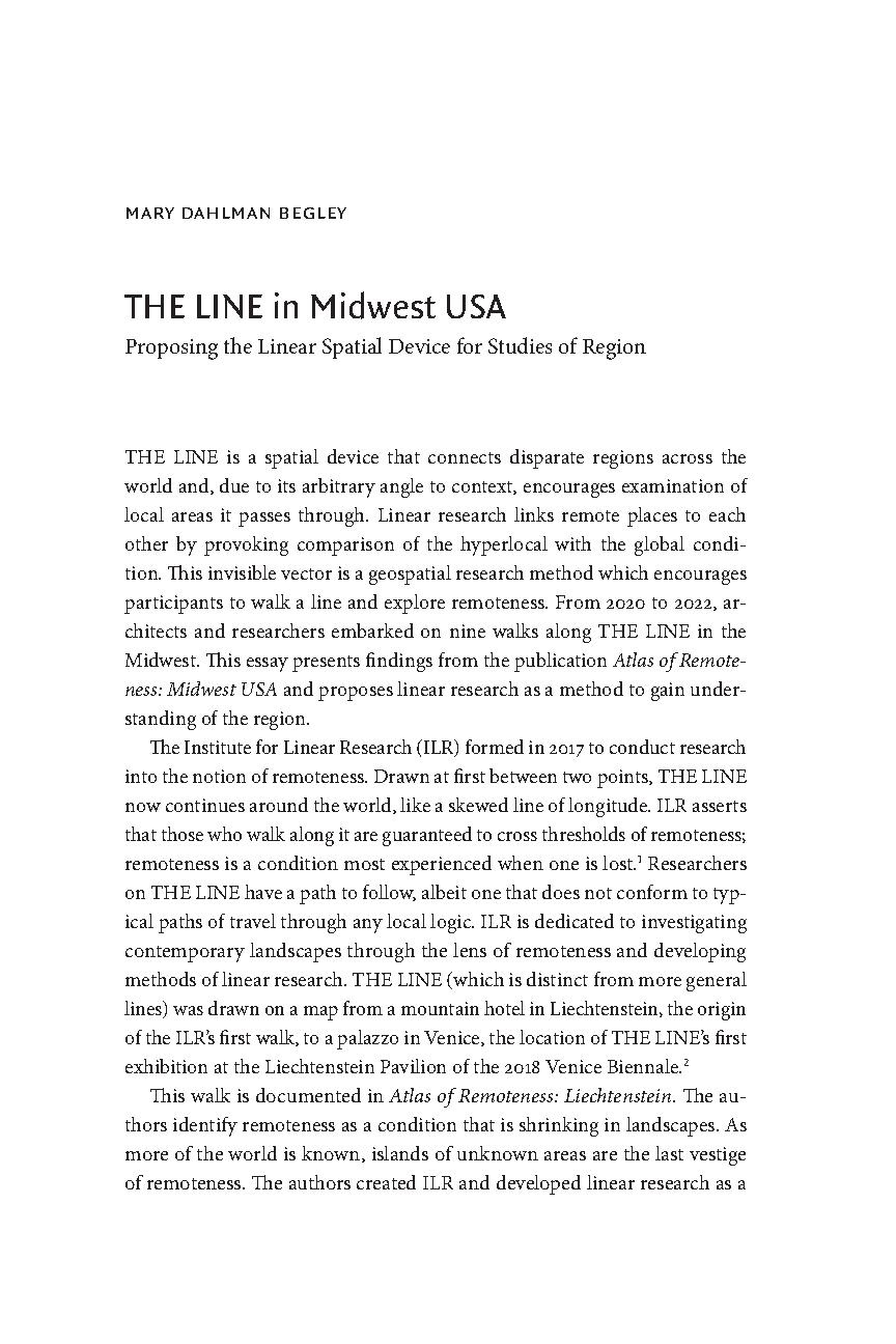
LINEAR ATLAS
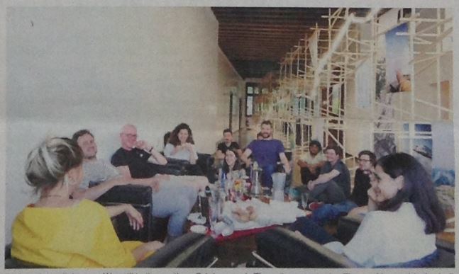
Researching THE LINE is a cooperative endeavour
Send us any info about any place THE LINE goes through
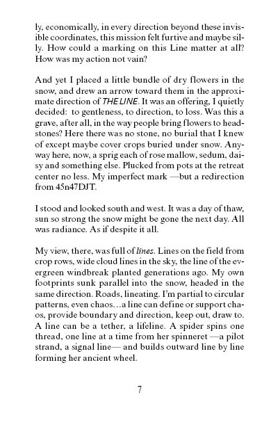
click on the red dot
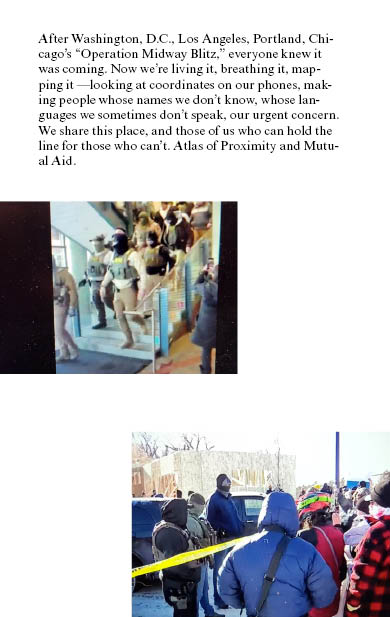
it will take you to THE LINE
Send us any info about any place THE LINE goes through
click on the red dot
it will take you to THE LINE


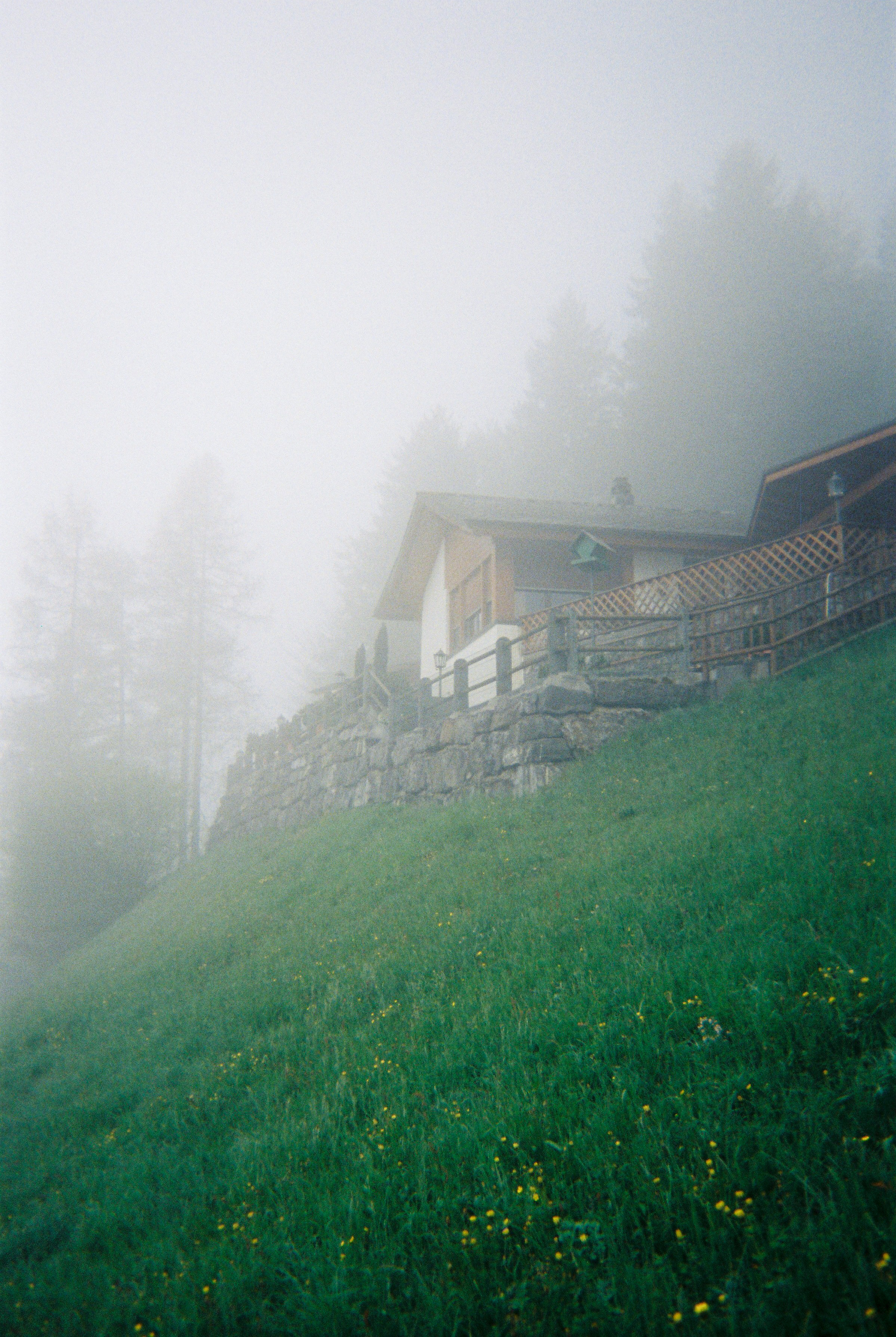


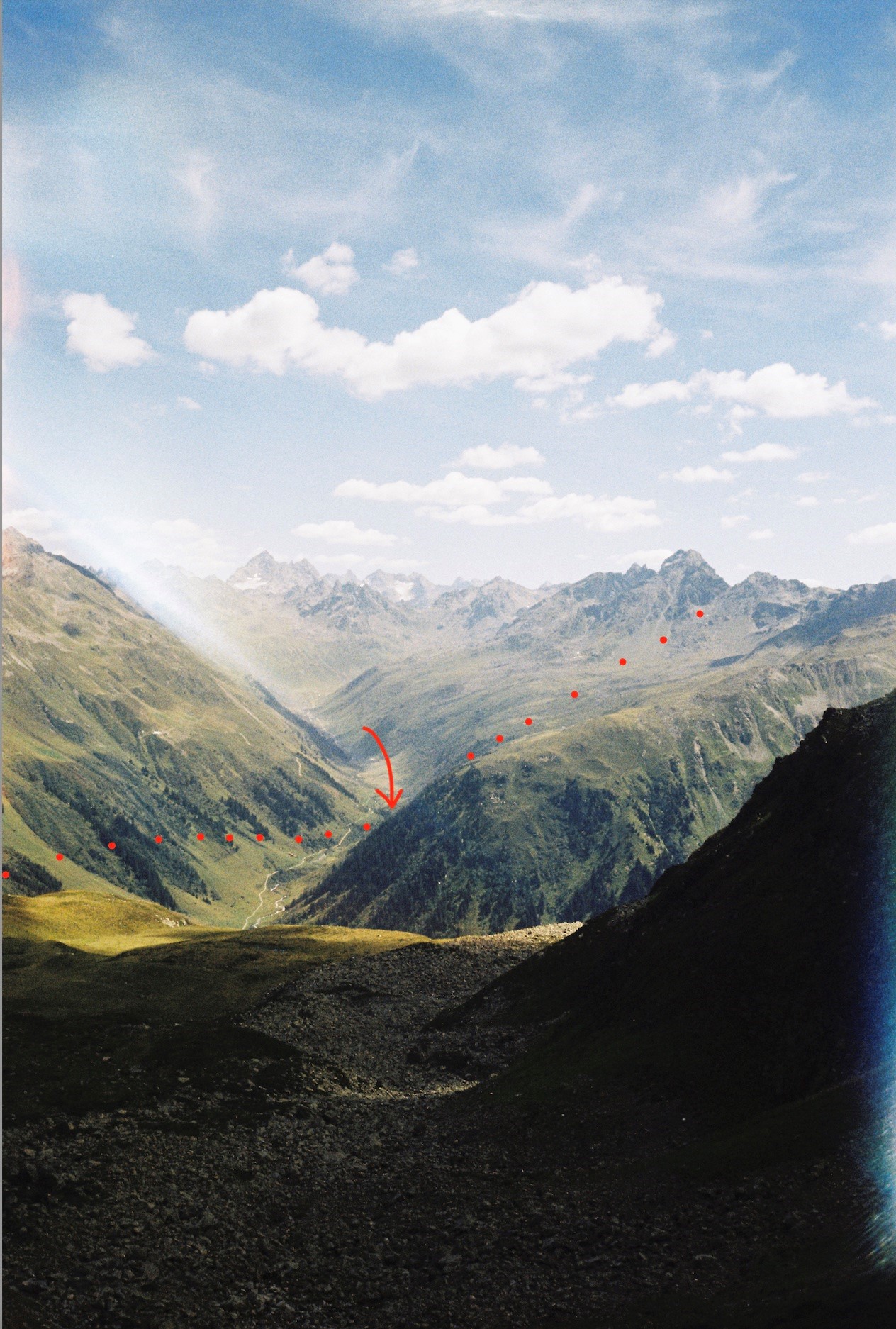
︎︎︎Austria


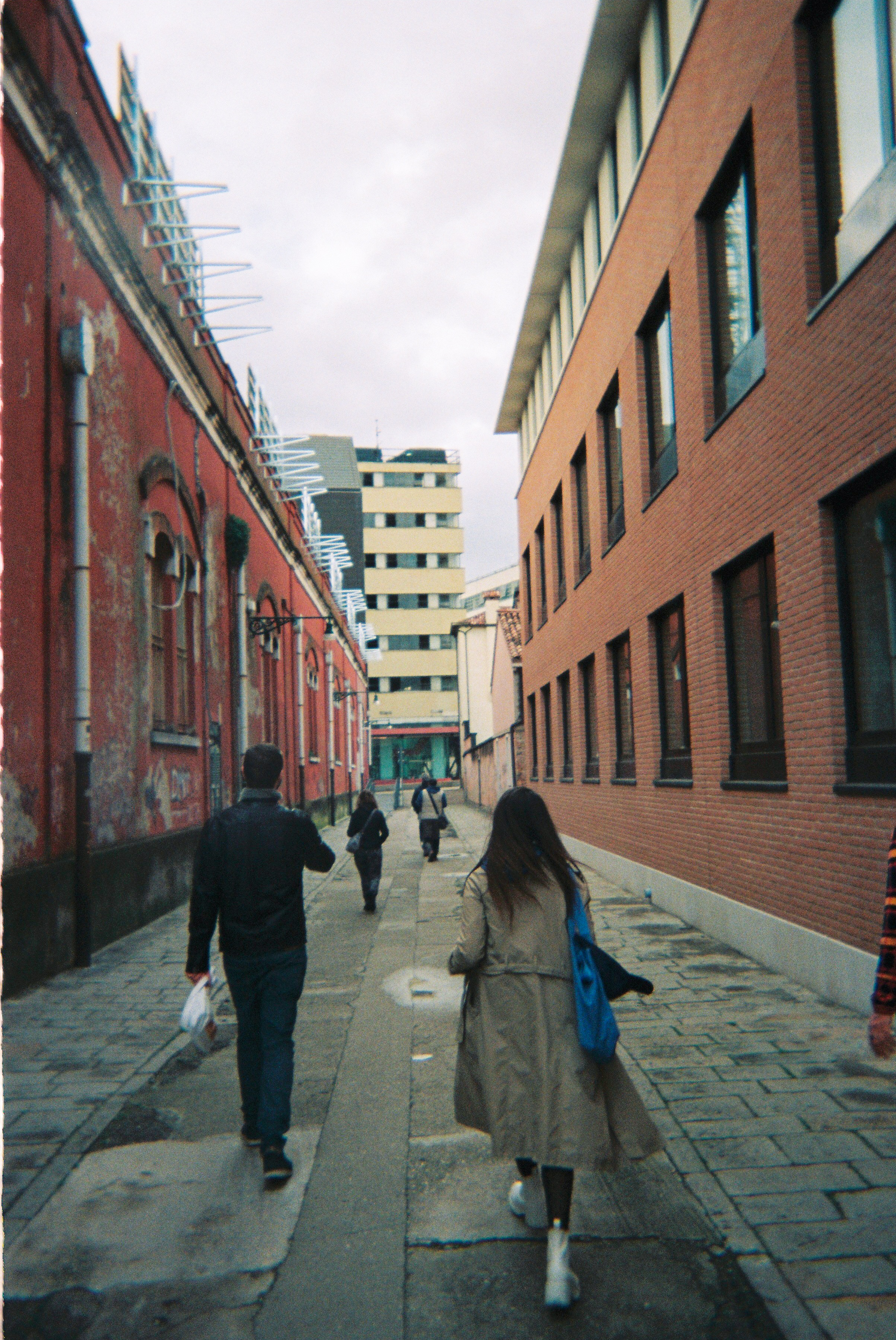
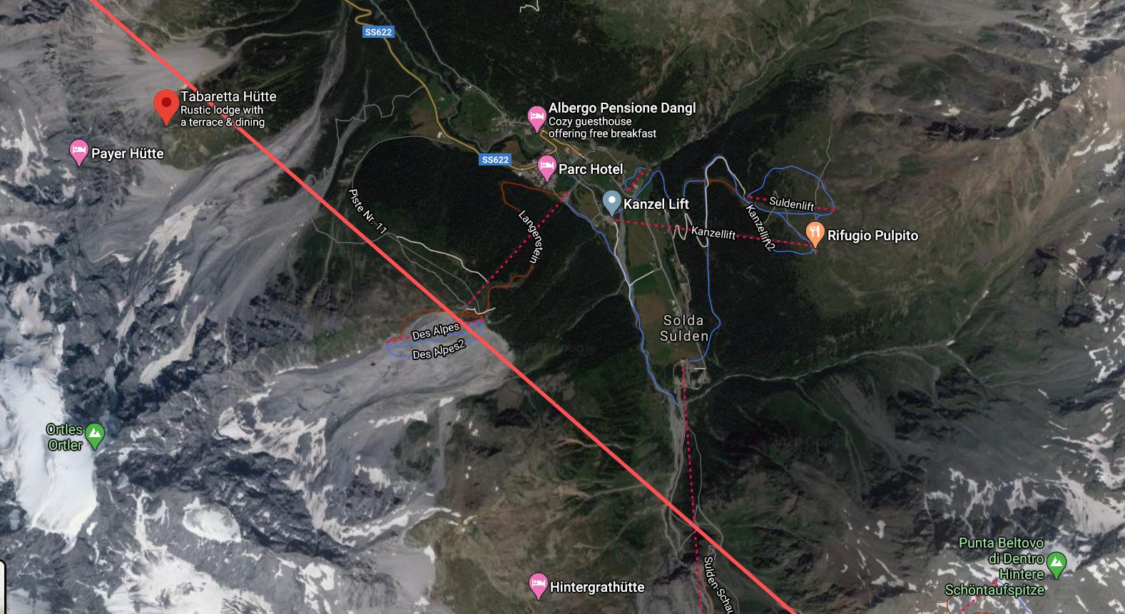
Italy

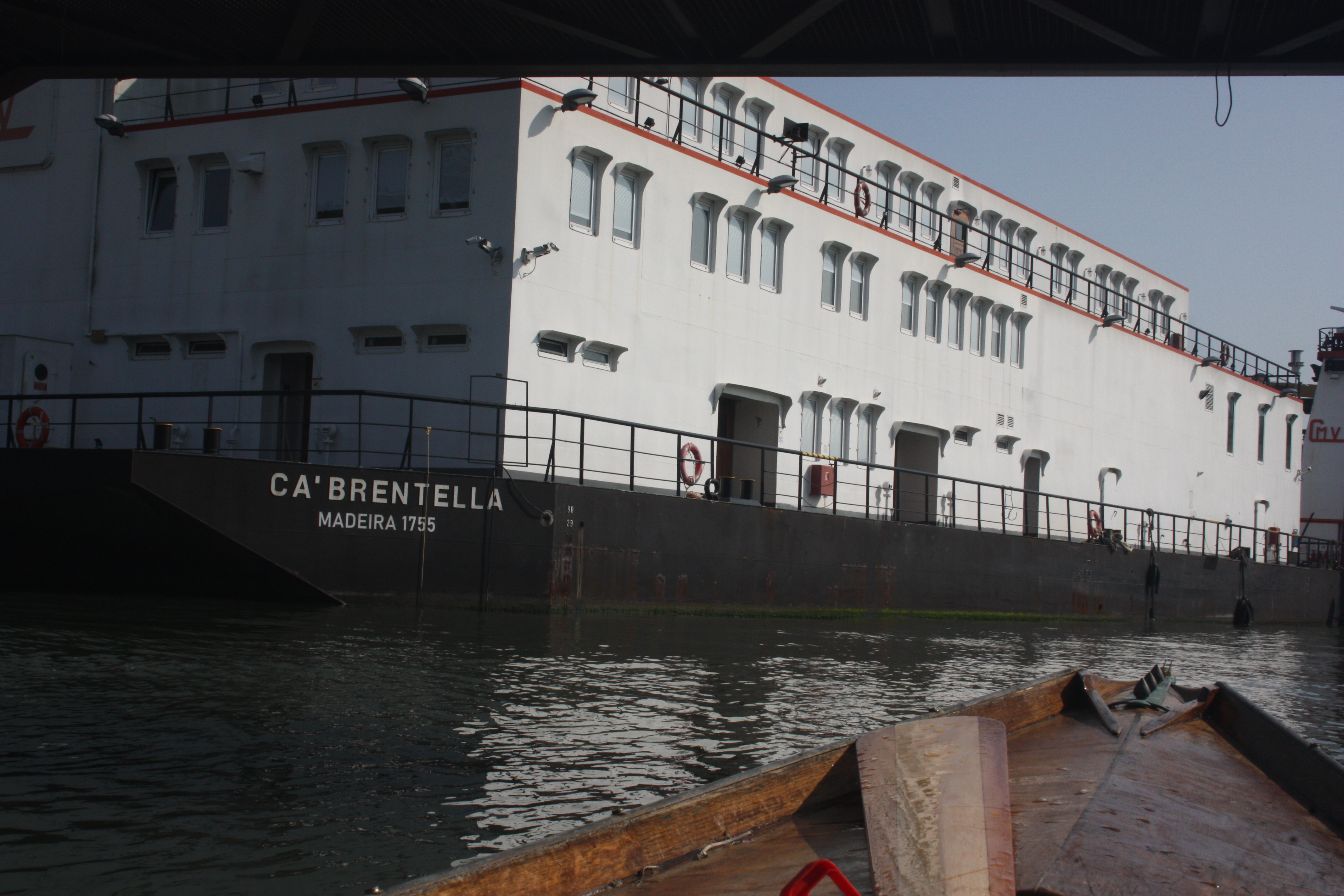
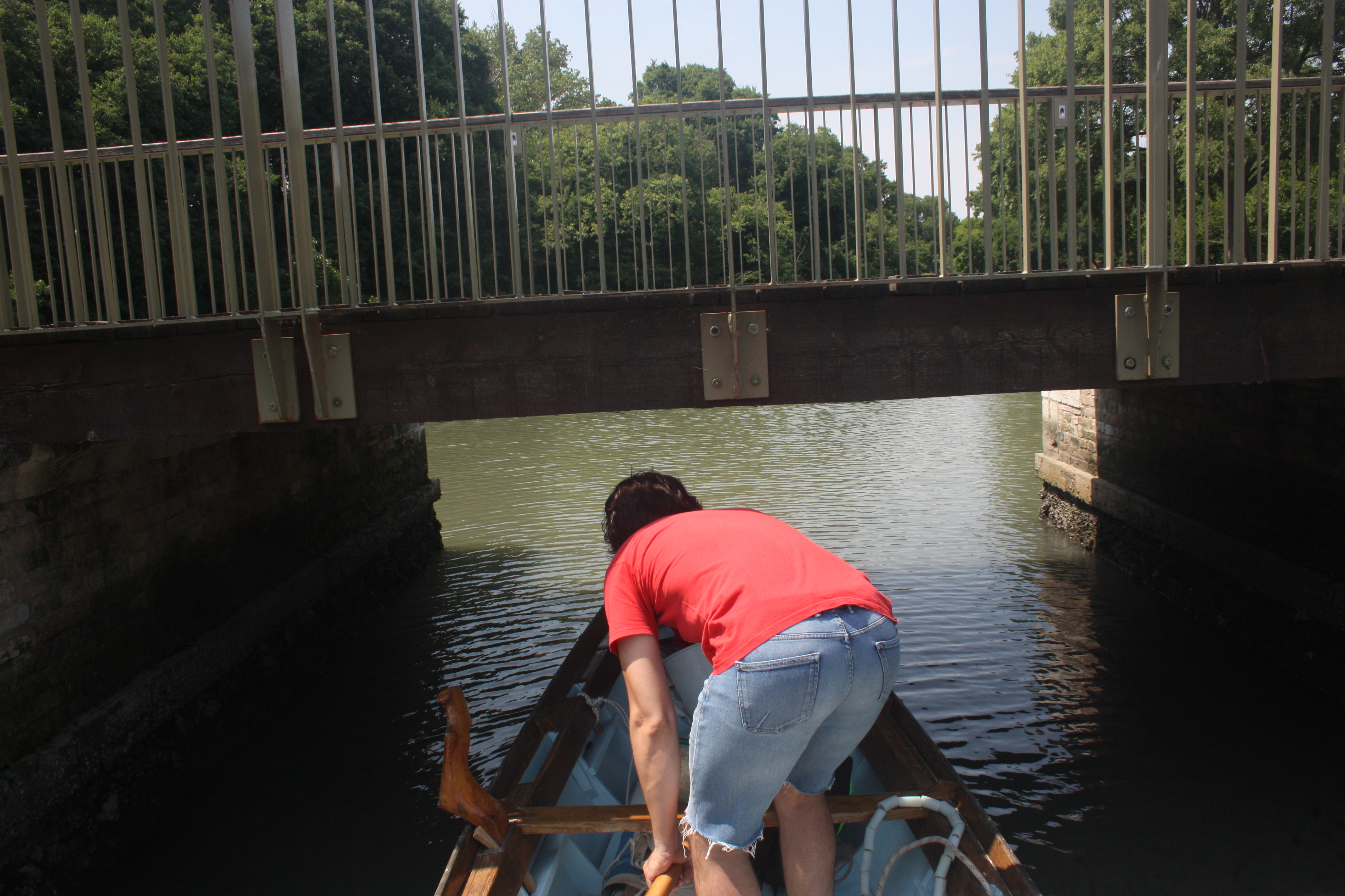

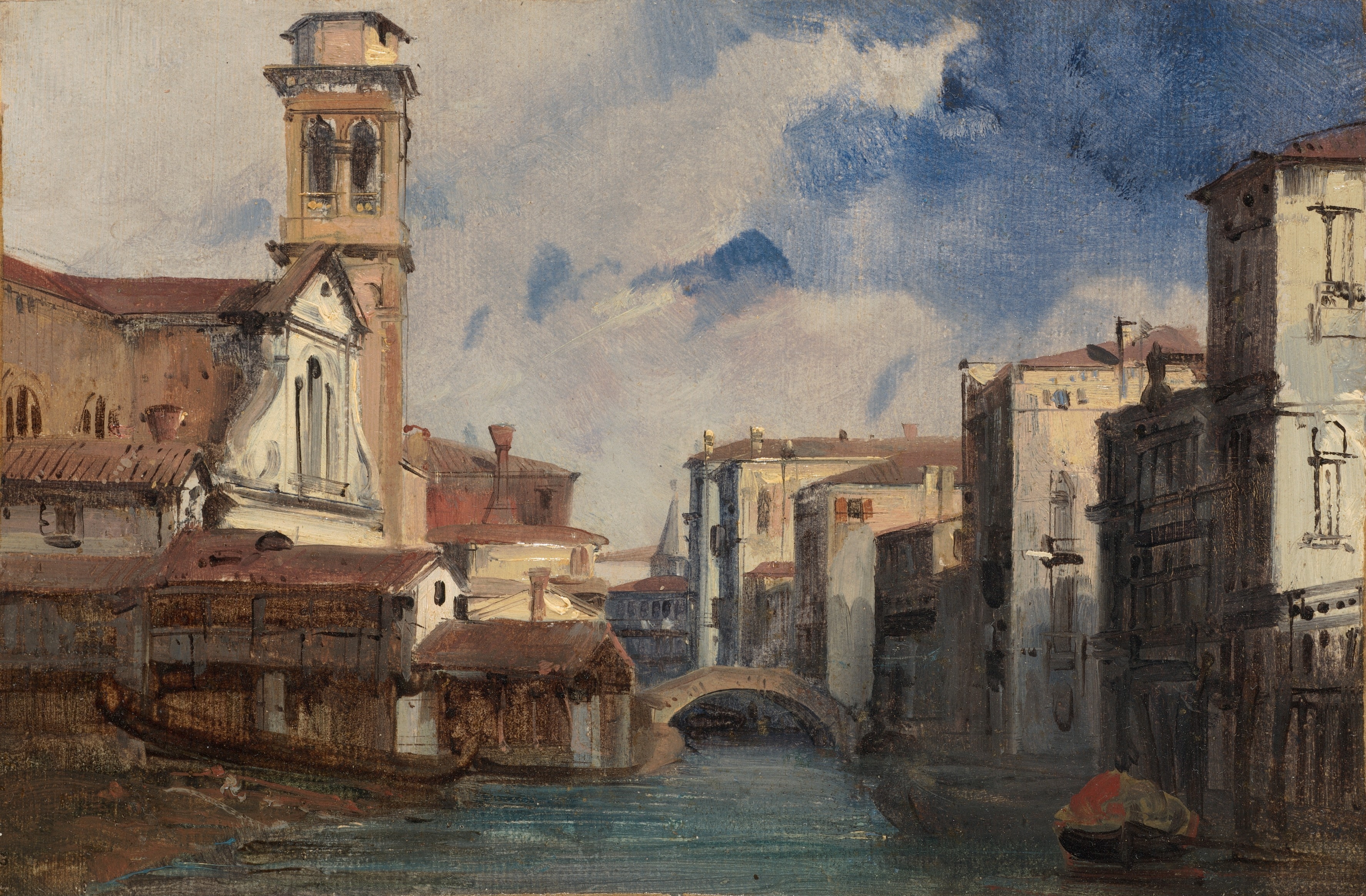
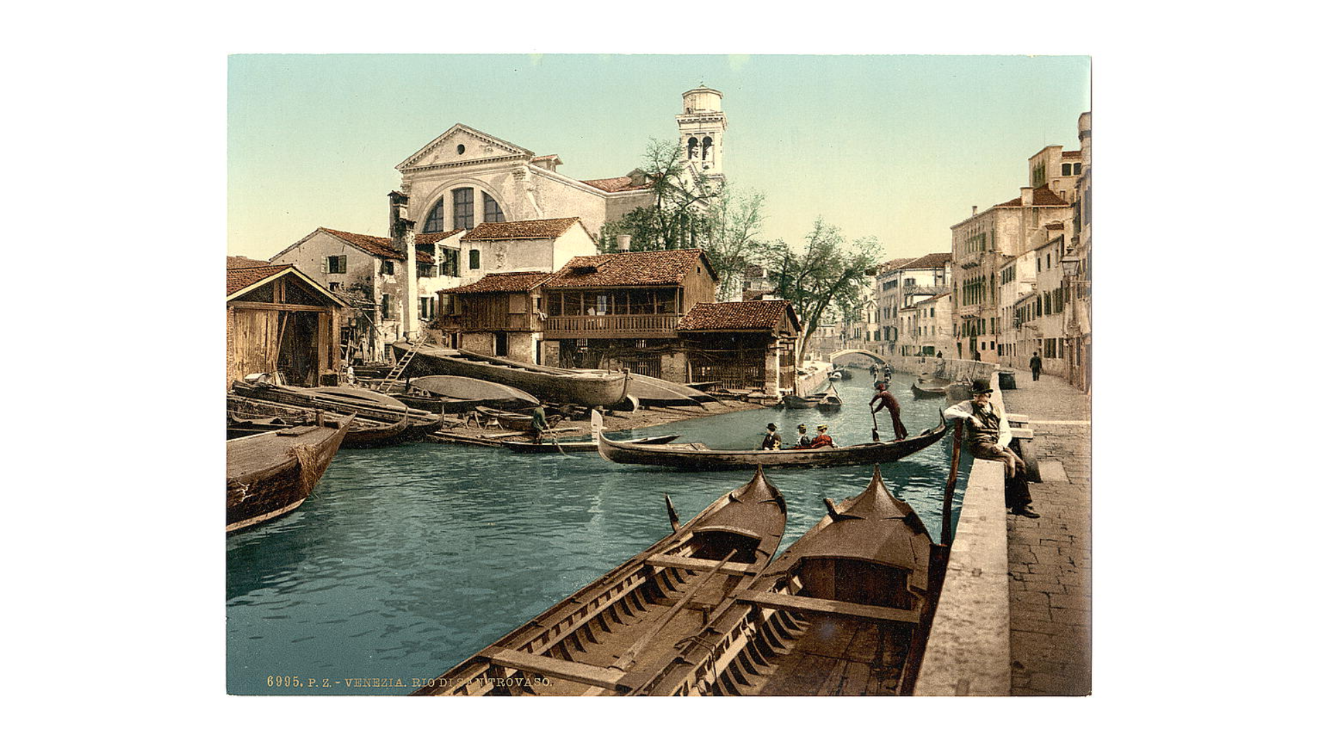

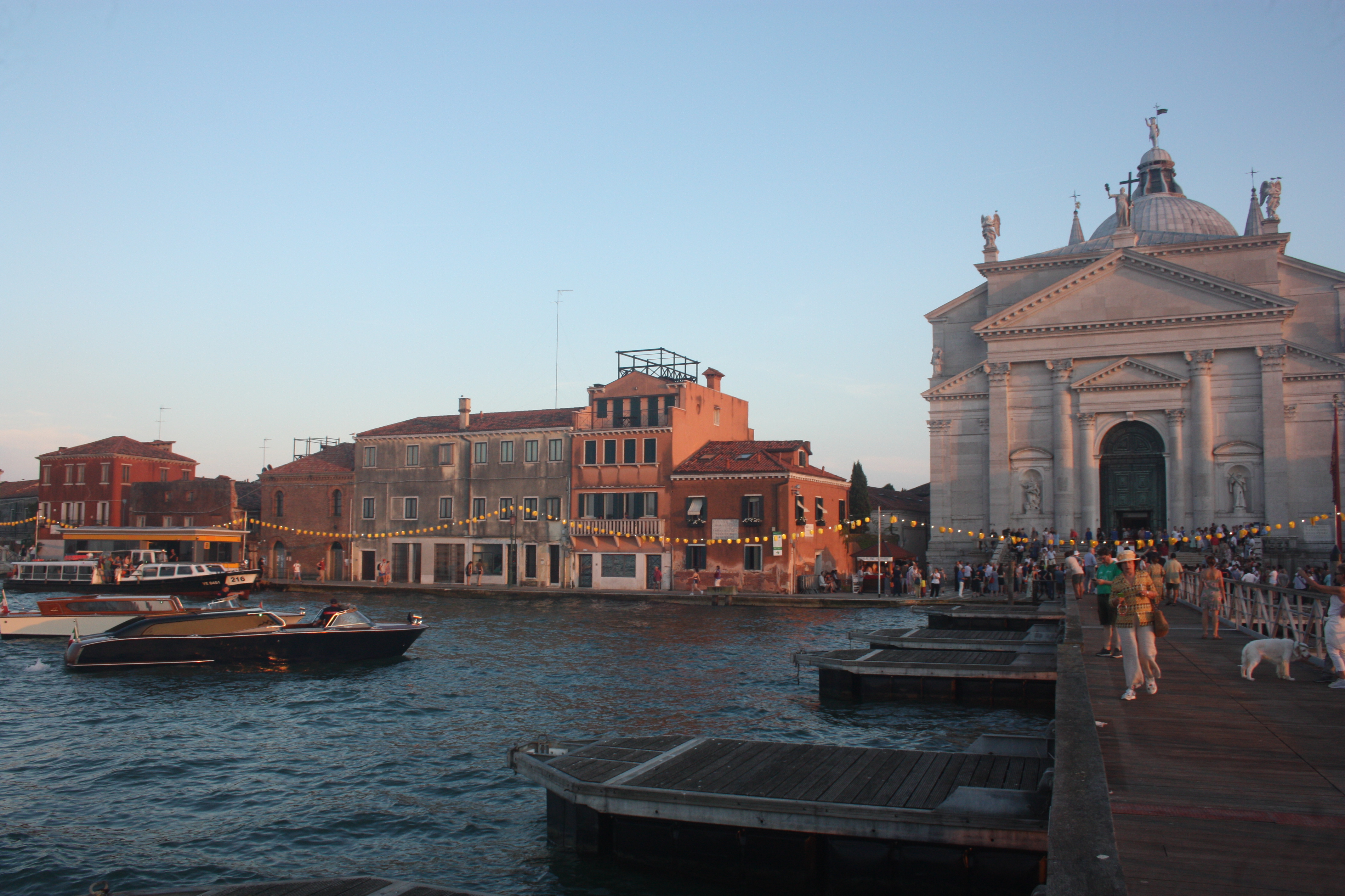

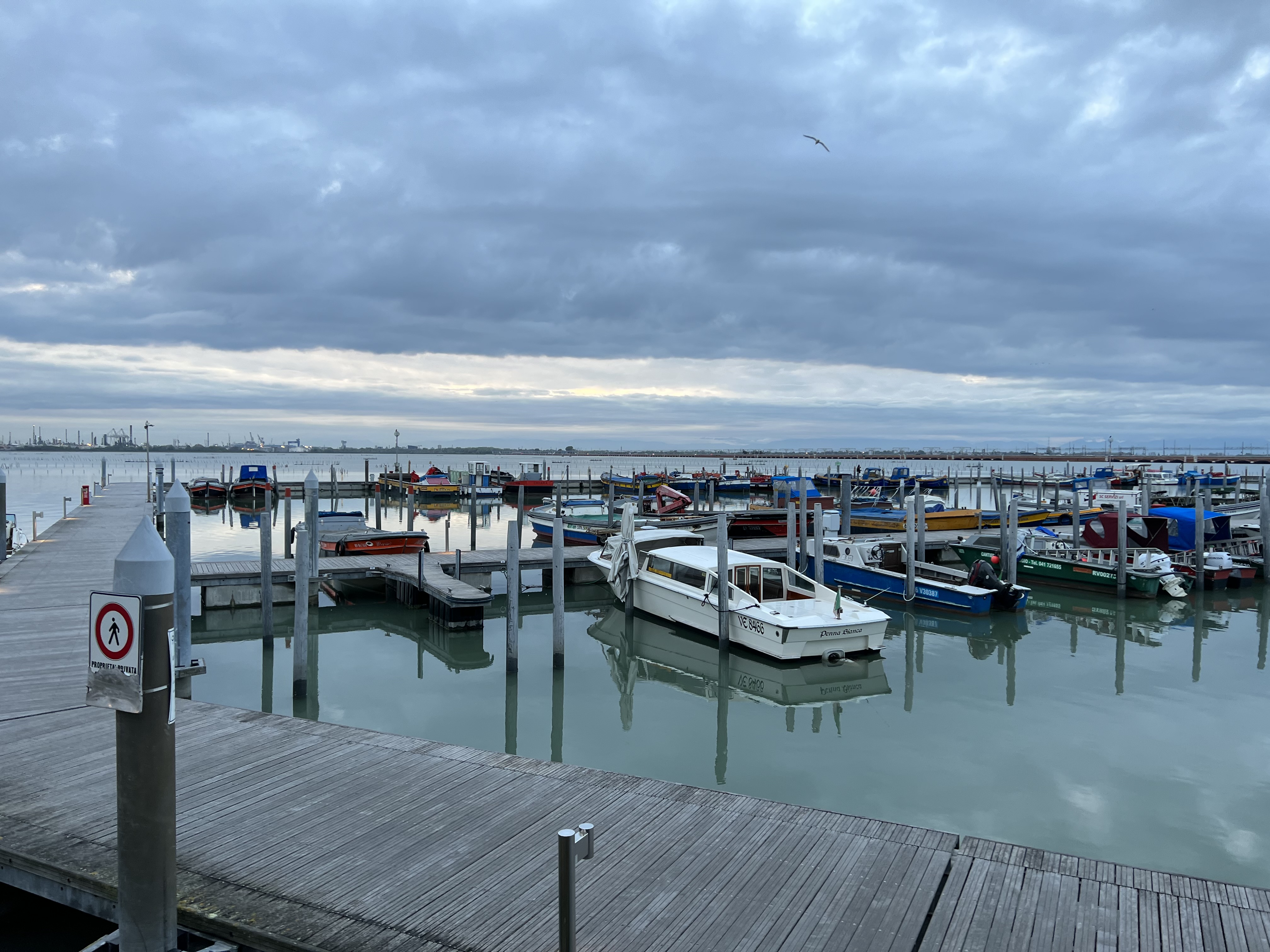
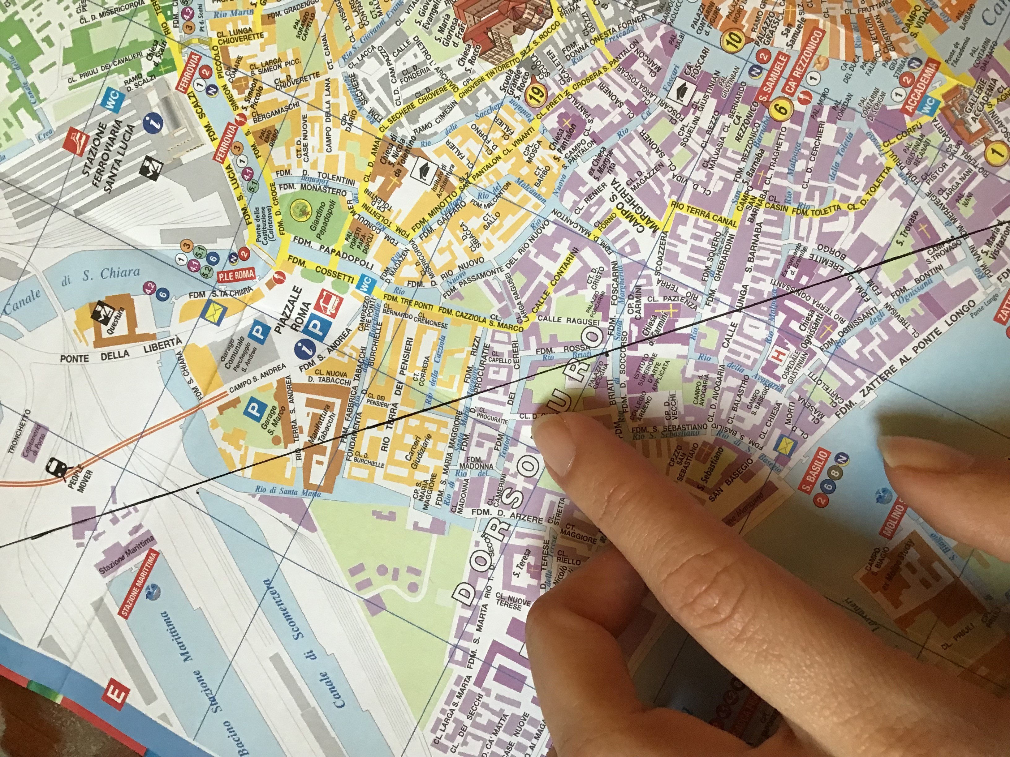
︎︎︎Venice


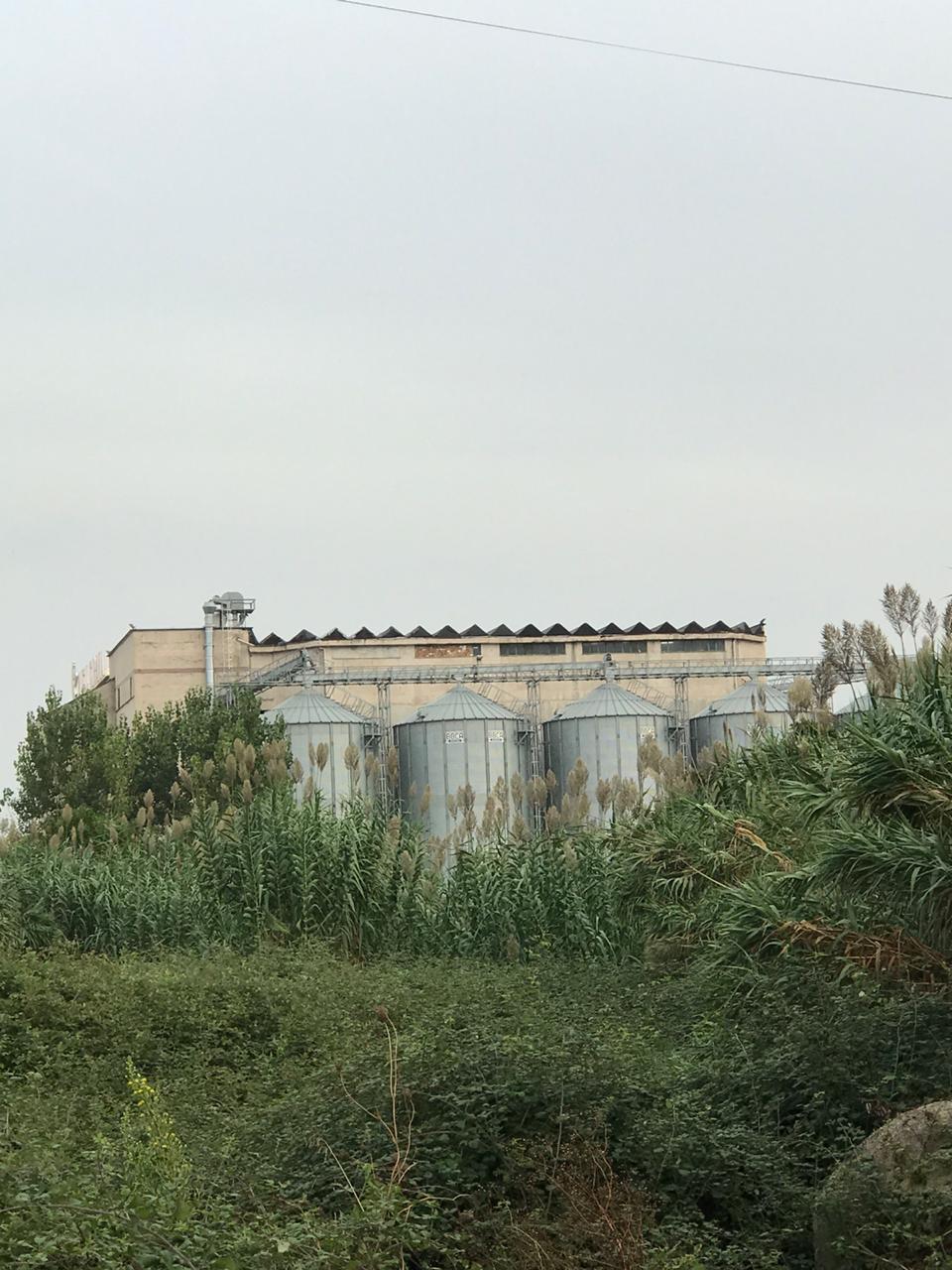
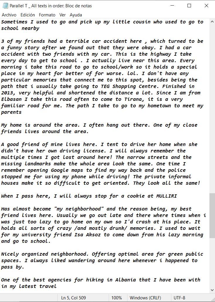
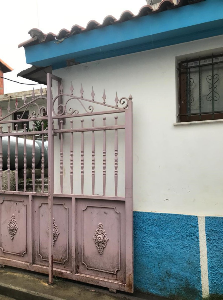
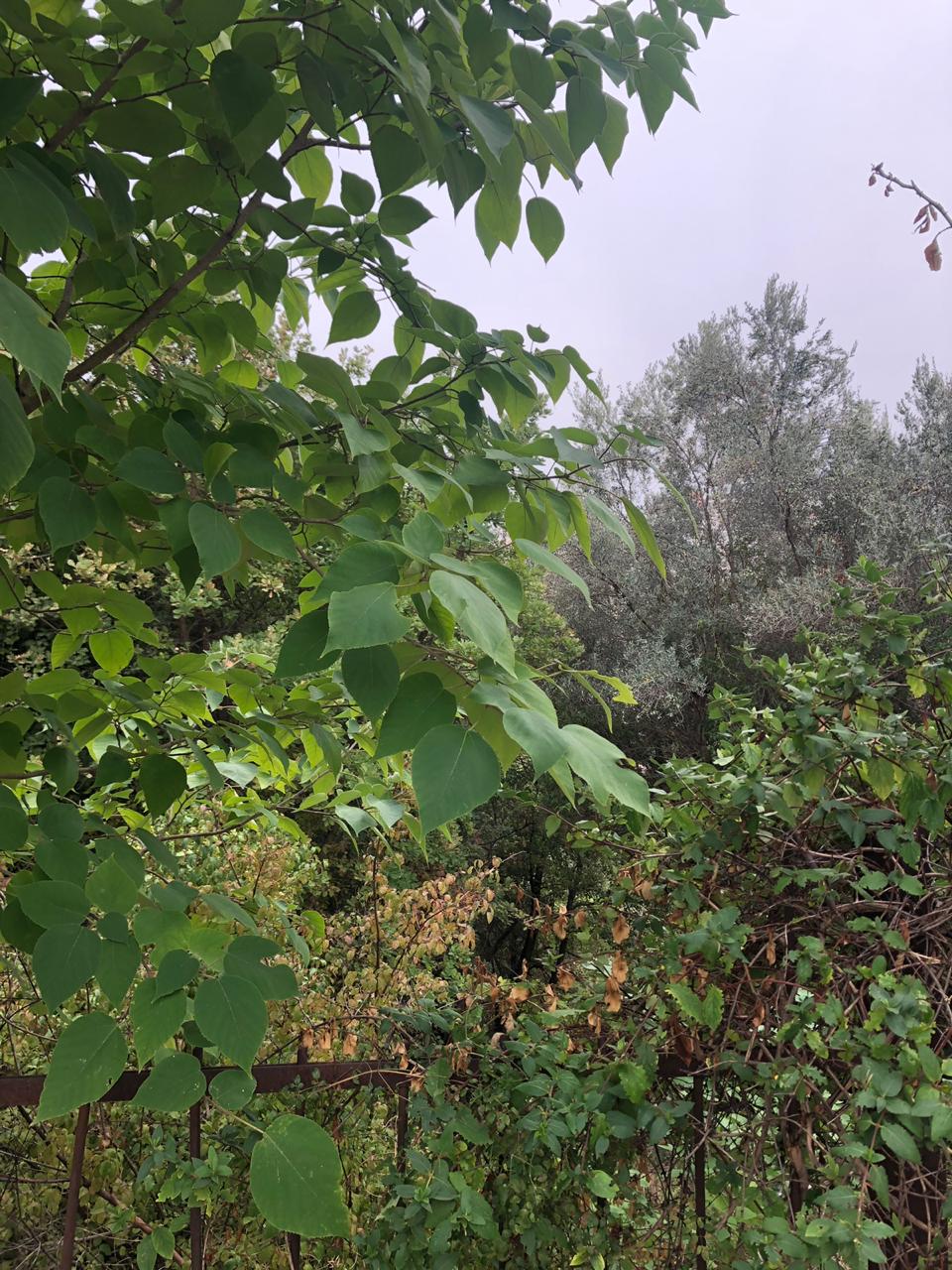
Albania
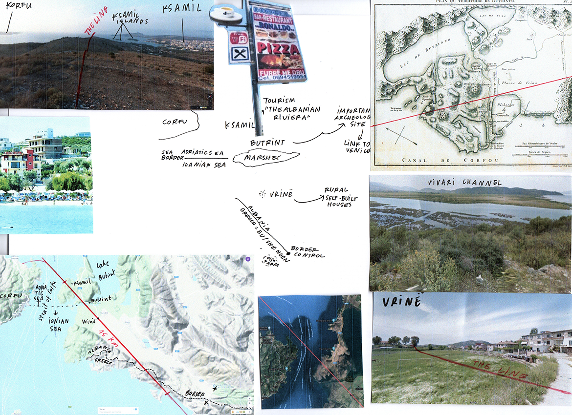


Greece

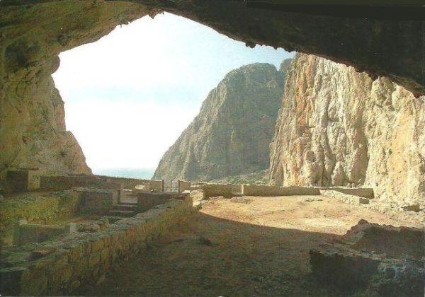
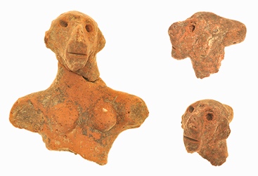
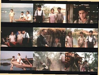
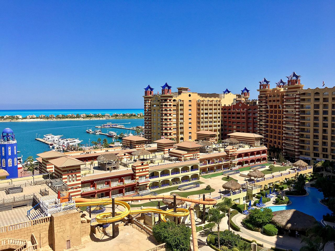
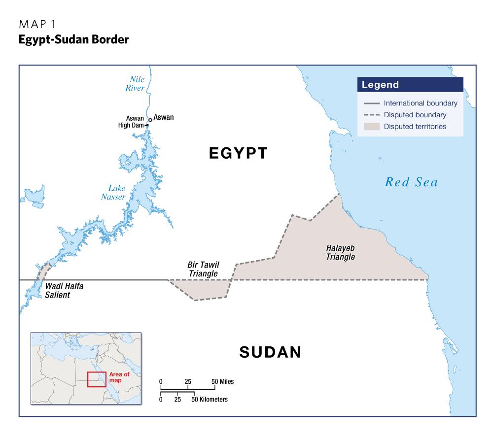
Egypt


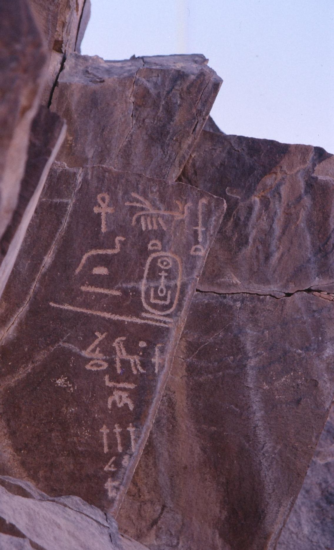
Sudan
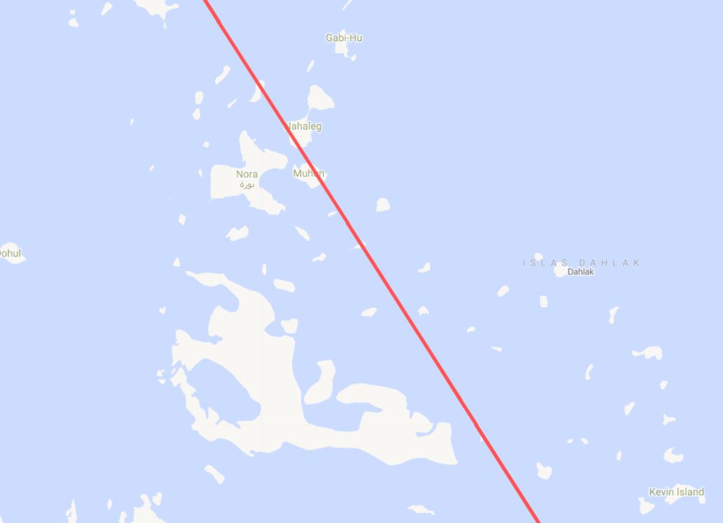
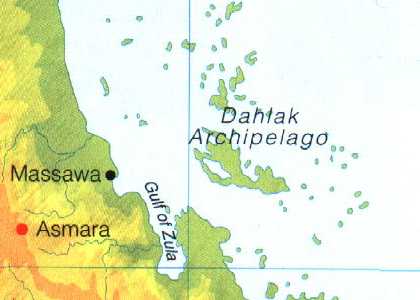
Eritrea


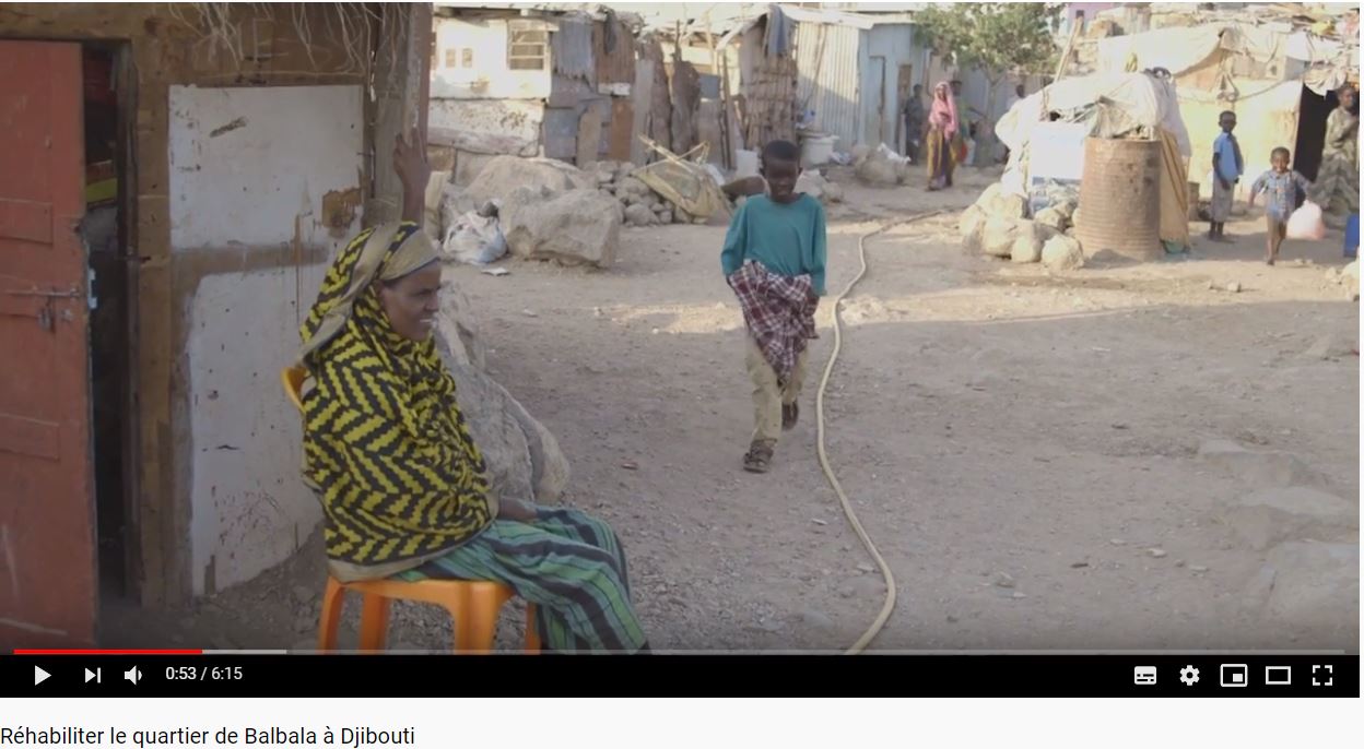
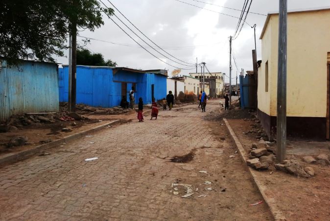
Djibouti

Ethiopia
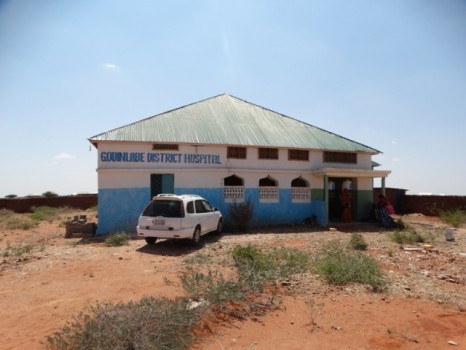
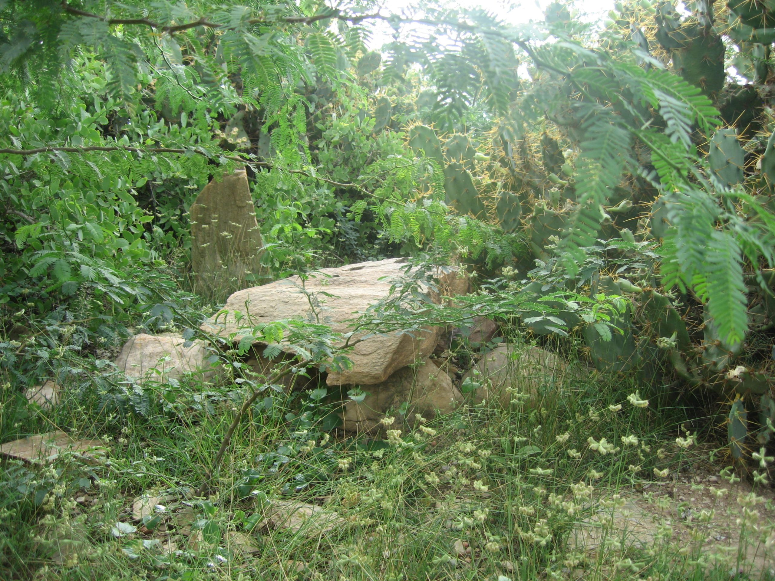
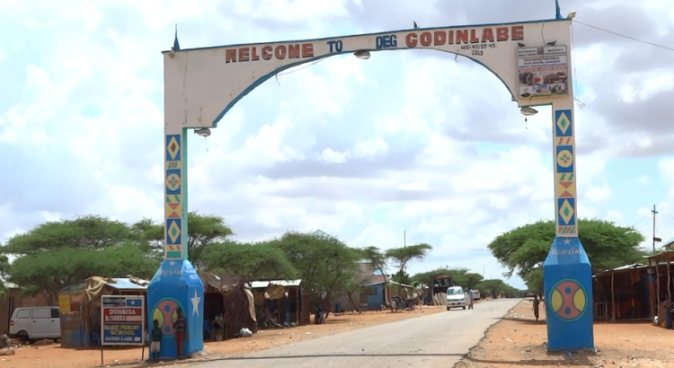
Somalia


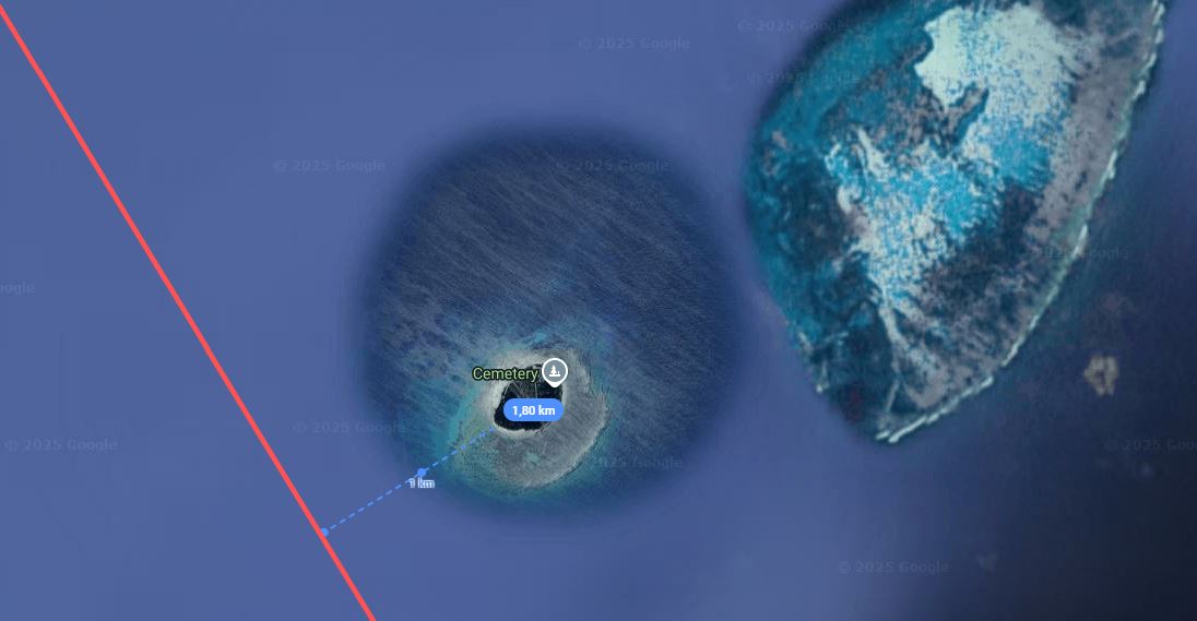
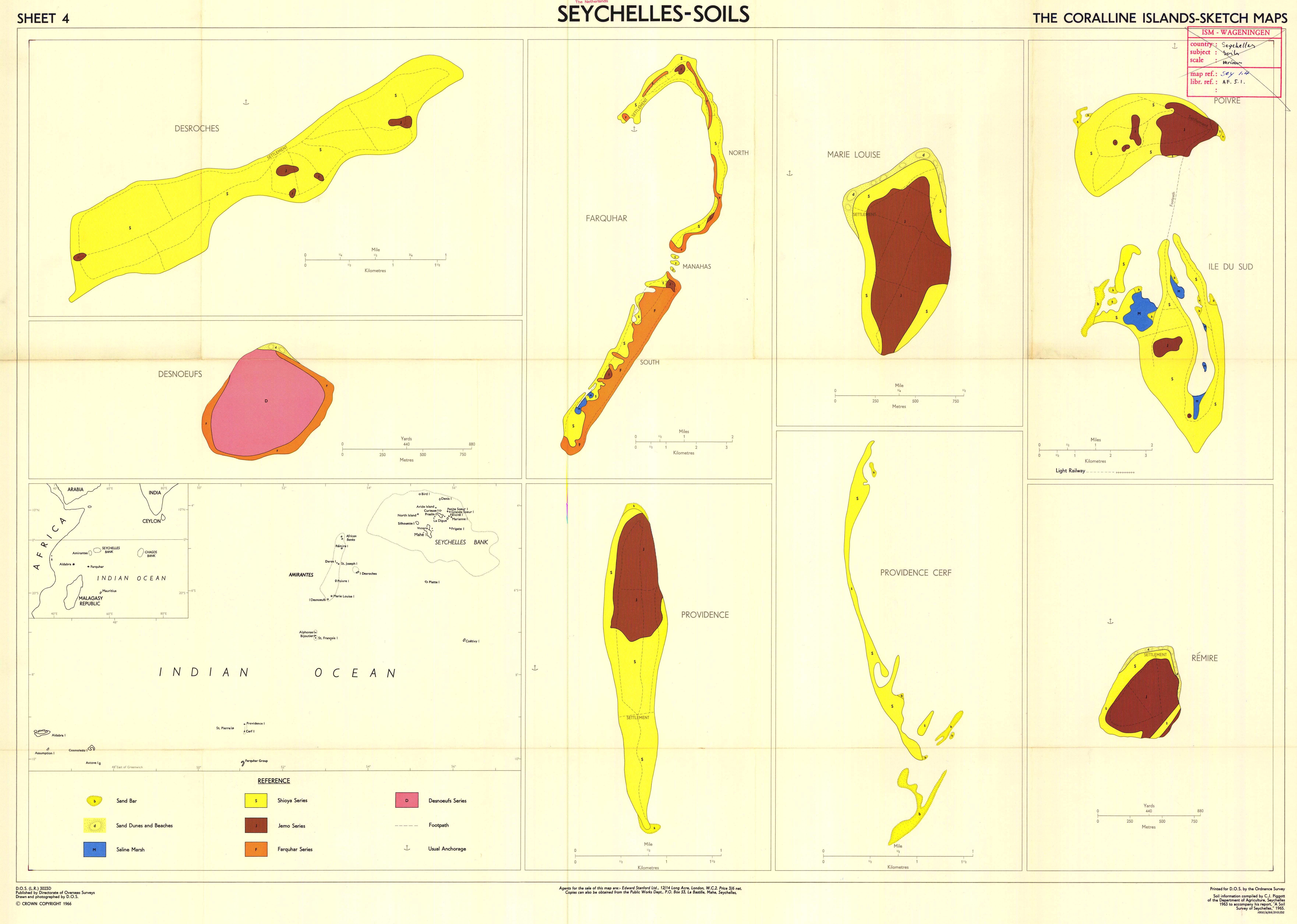
Seychelles

French Polynesia


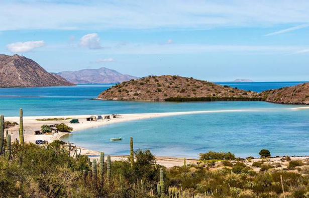
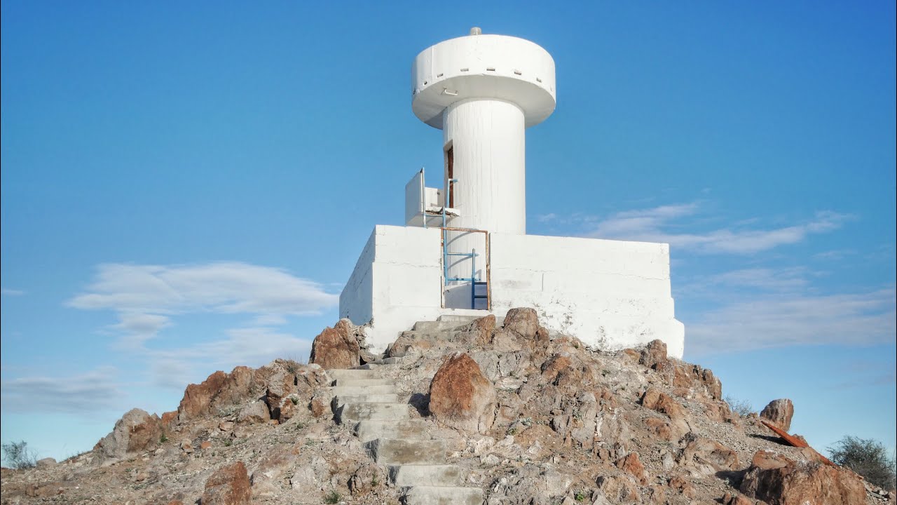
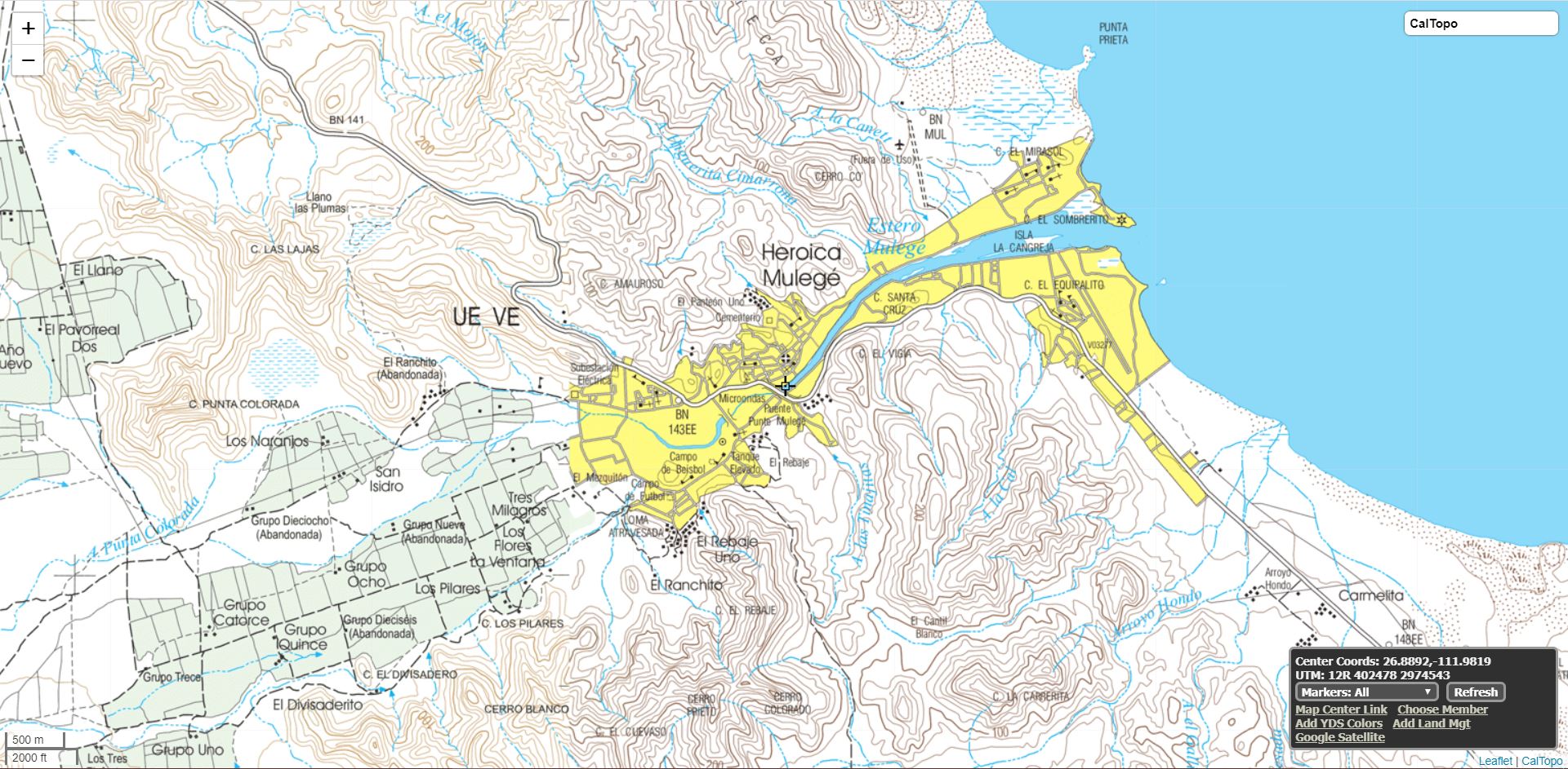
Mexico


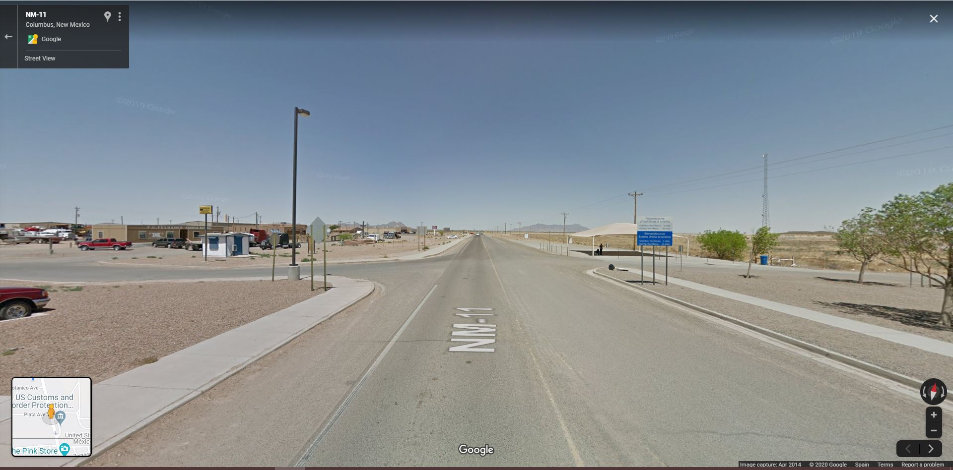
United States of America
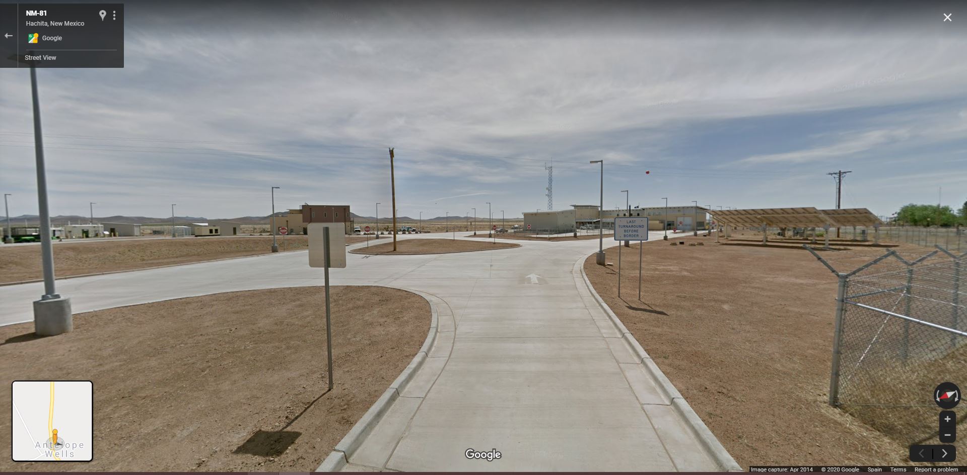
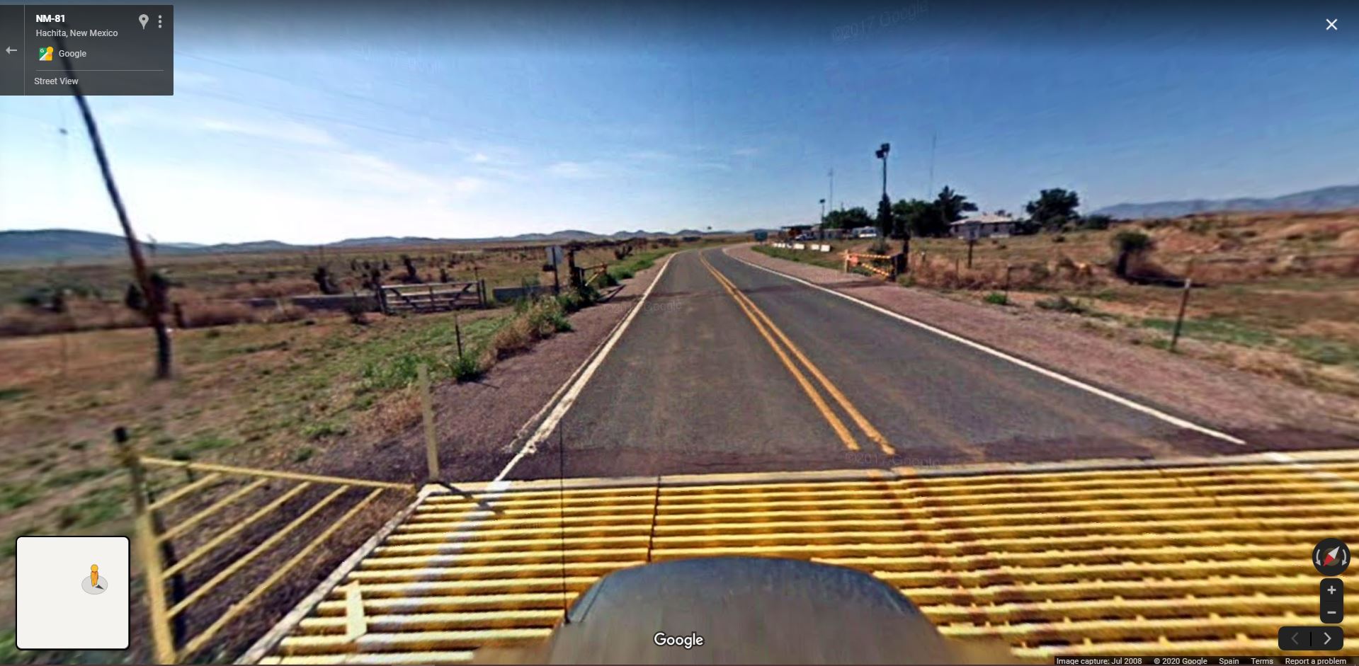
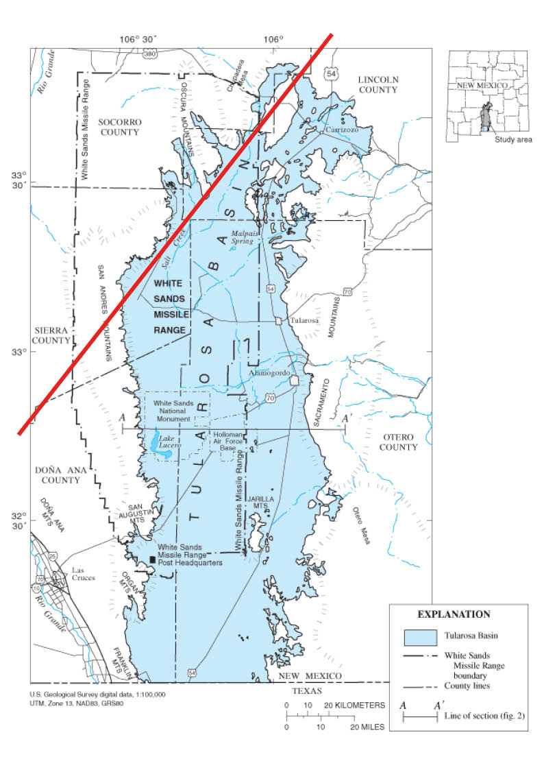
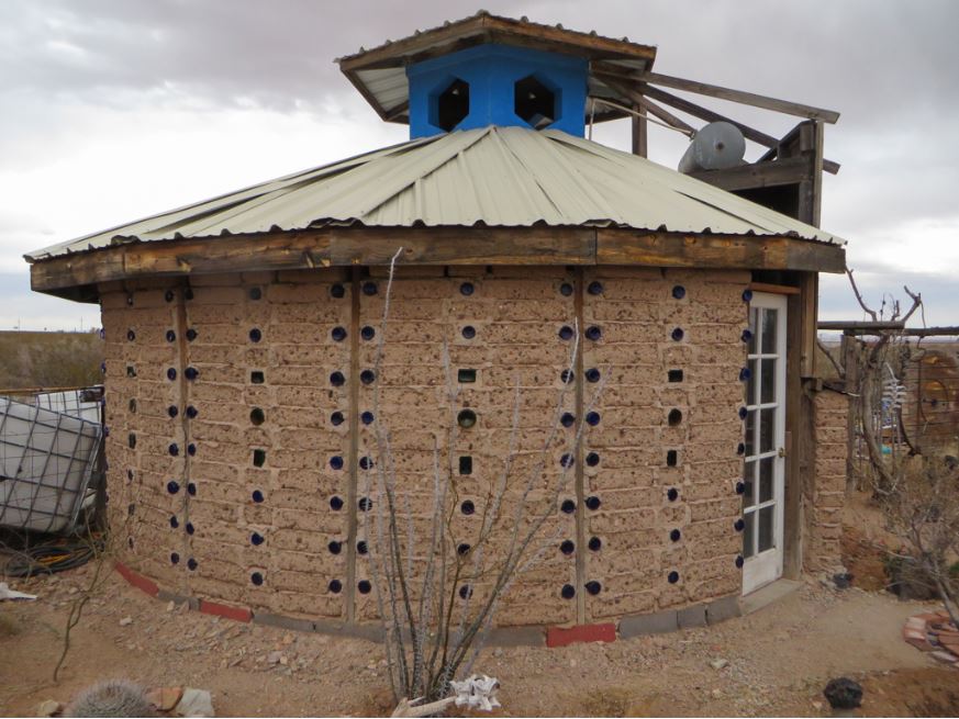
New Mexico
![City of The Sun (Columbus, Luna County). Photograph by Dr. Lilian Makeda. https://sah-archipedia.org/buildings/NM-01-029-0052]()
New Mexico
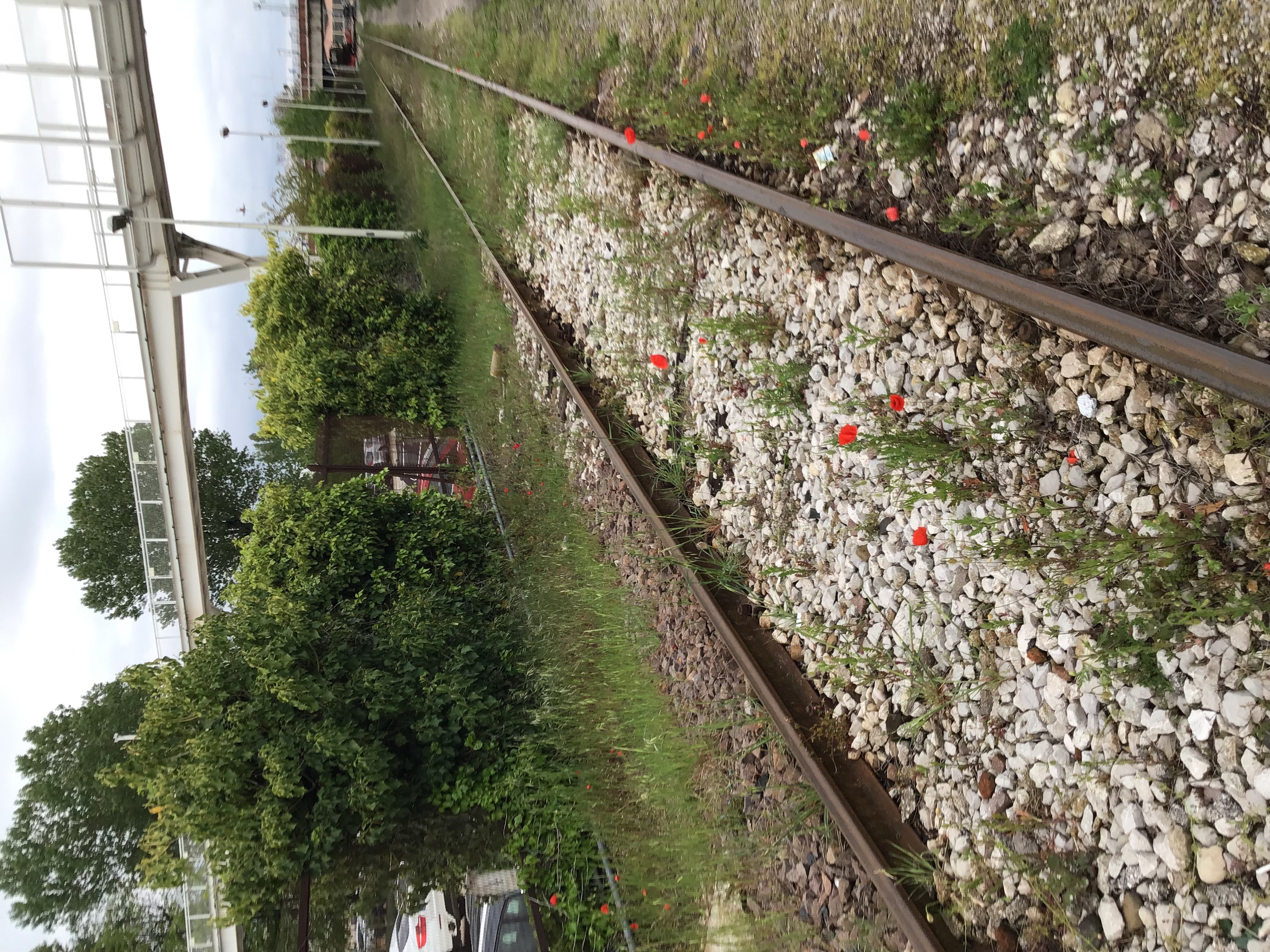
︎︎︎Midwest
![]()

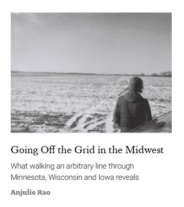
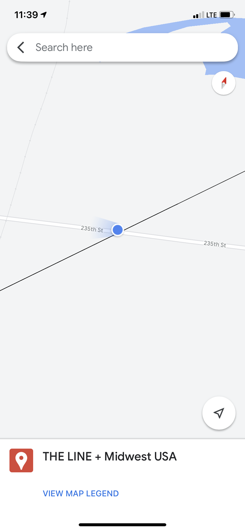

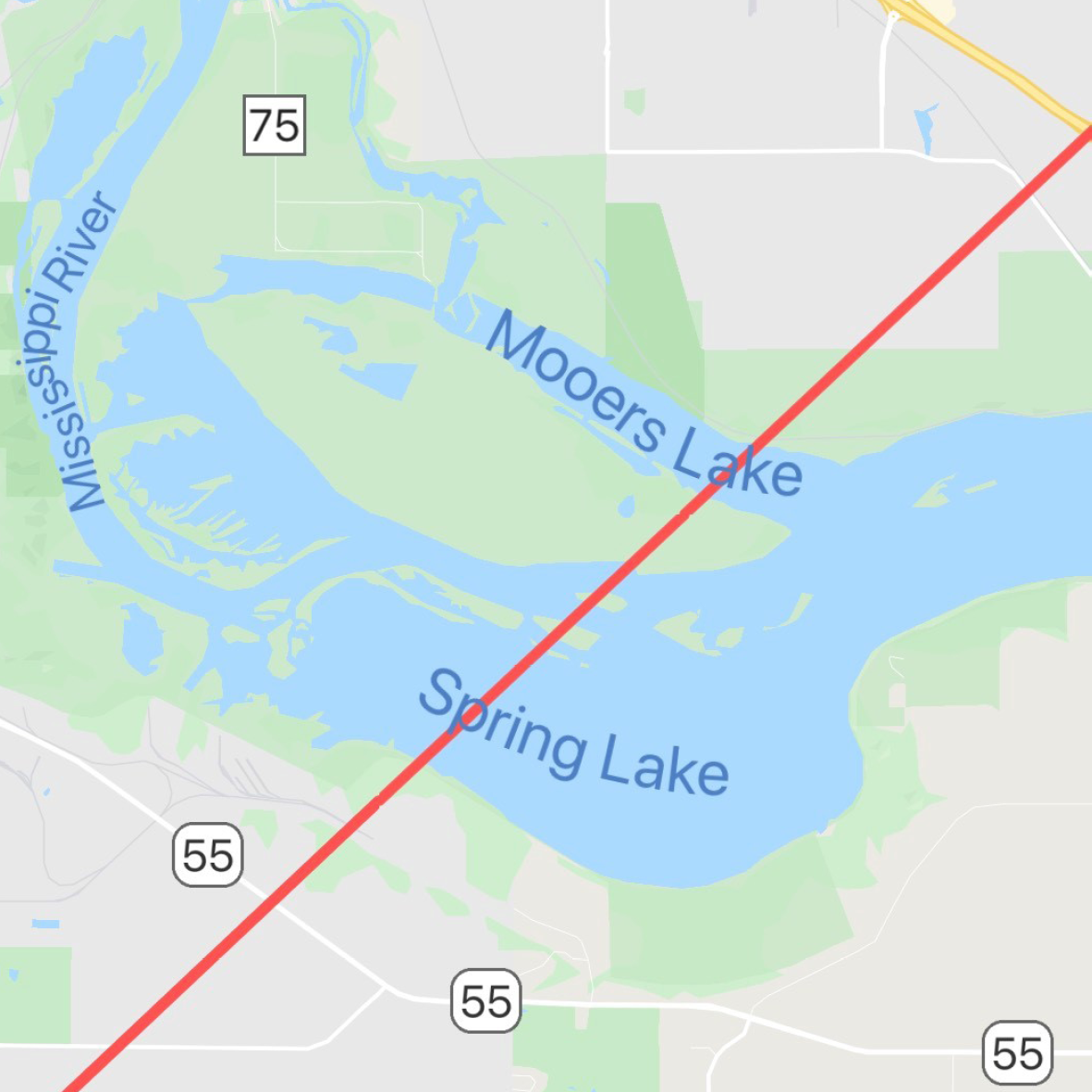
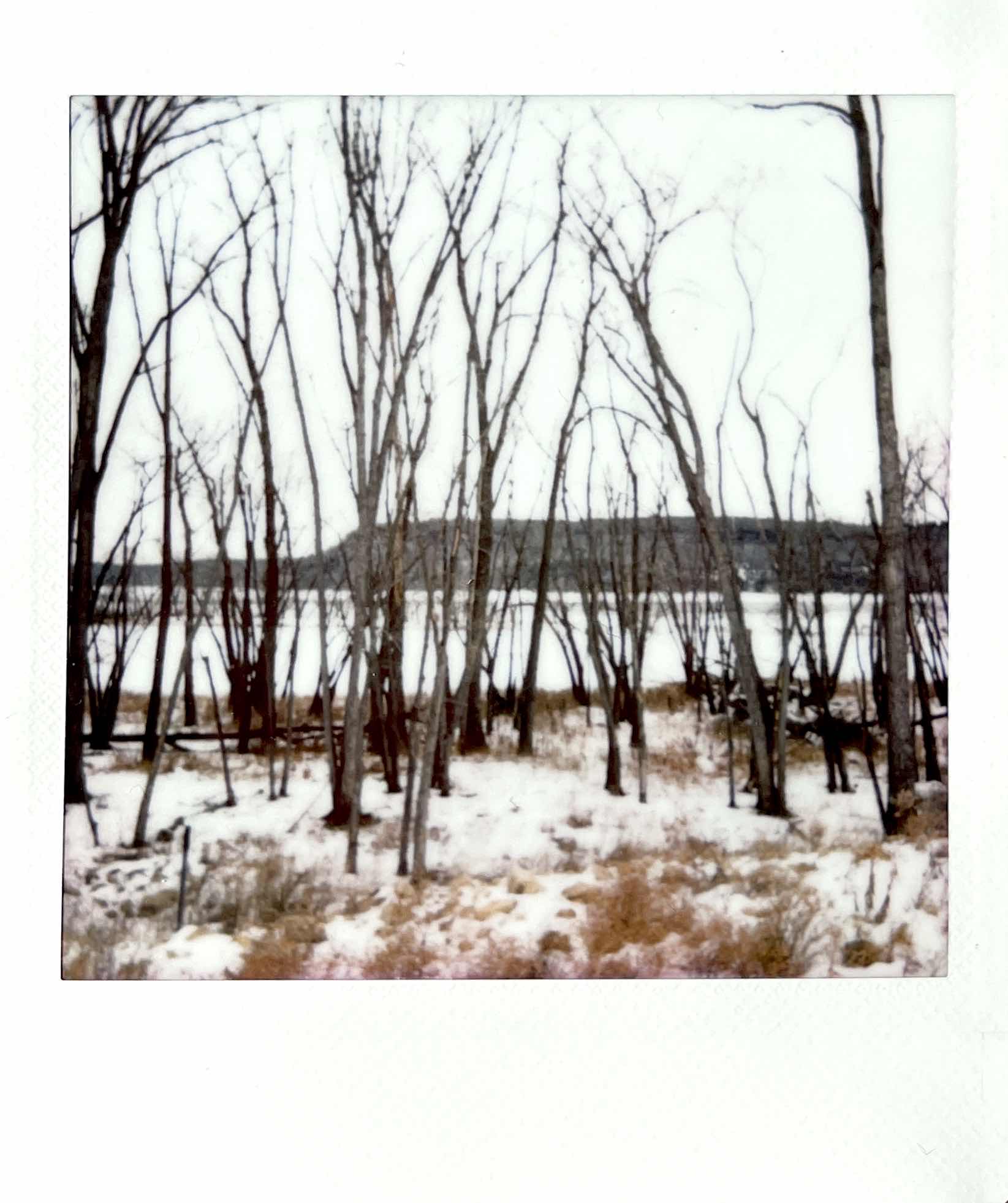
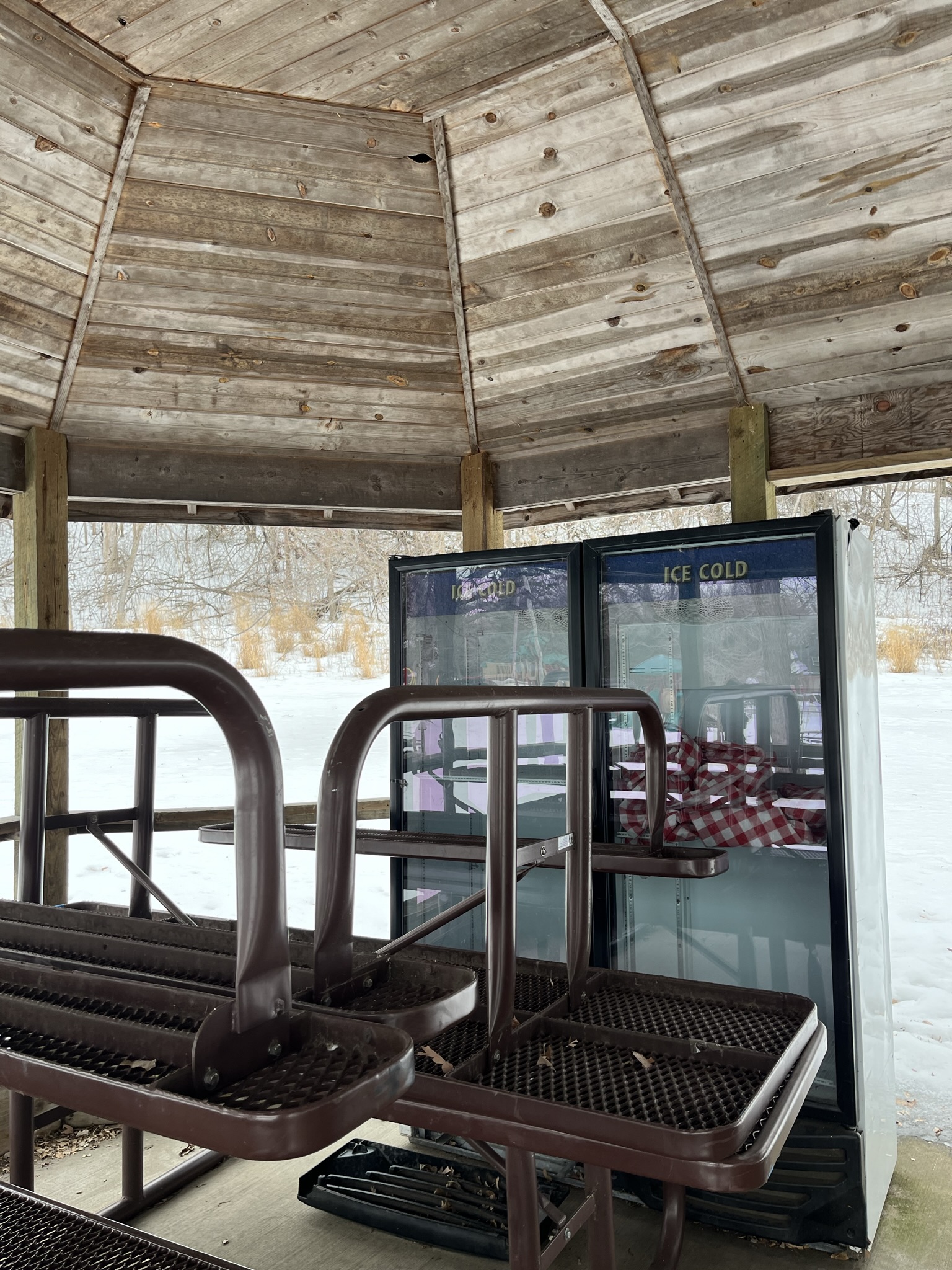
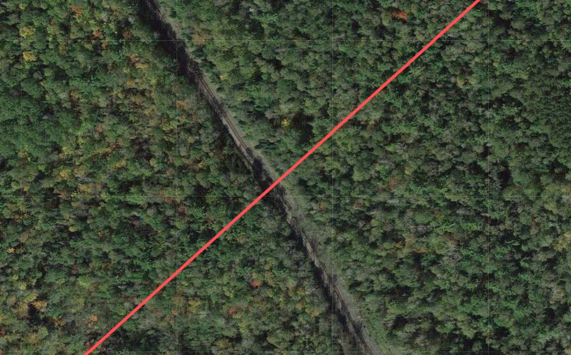
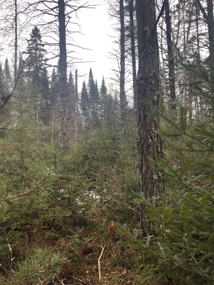
︎︎︎Minnesota
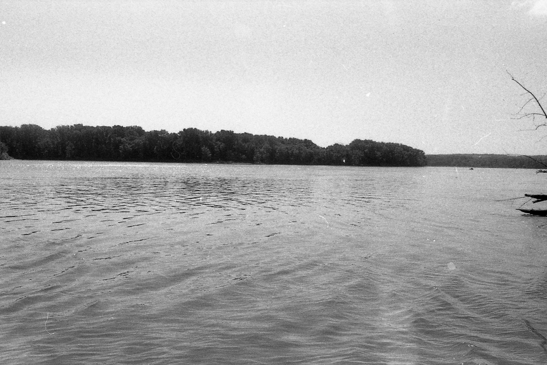

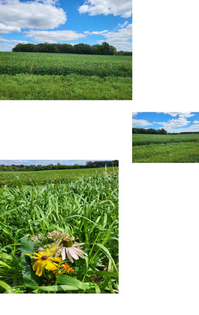
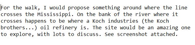


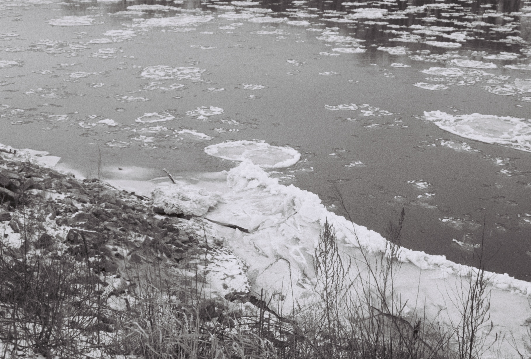
walking across the
Mississippi River

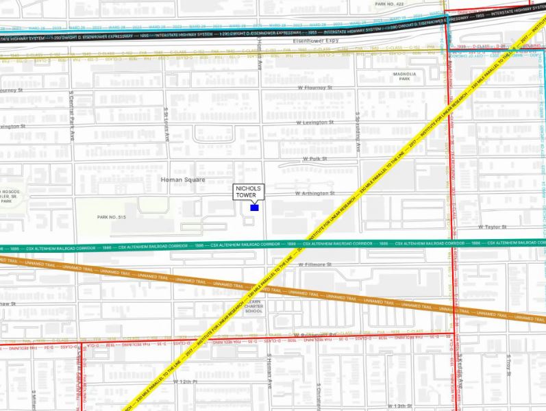
Parallel Crossing Lines (Chicago)
︎
︎
︎
︎
︎


︎
︎
︎
︎


︎︎︎Wisconsin


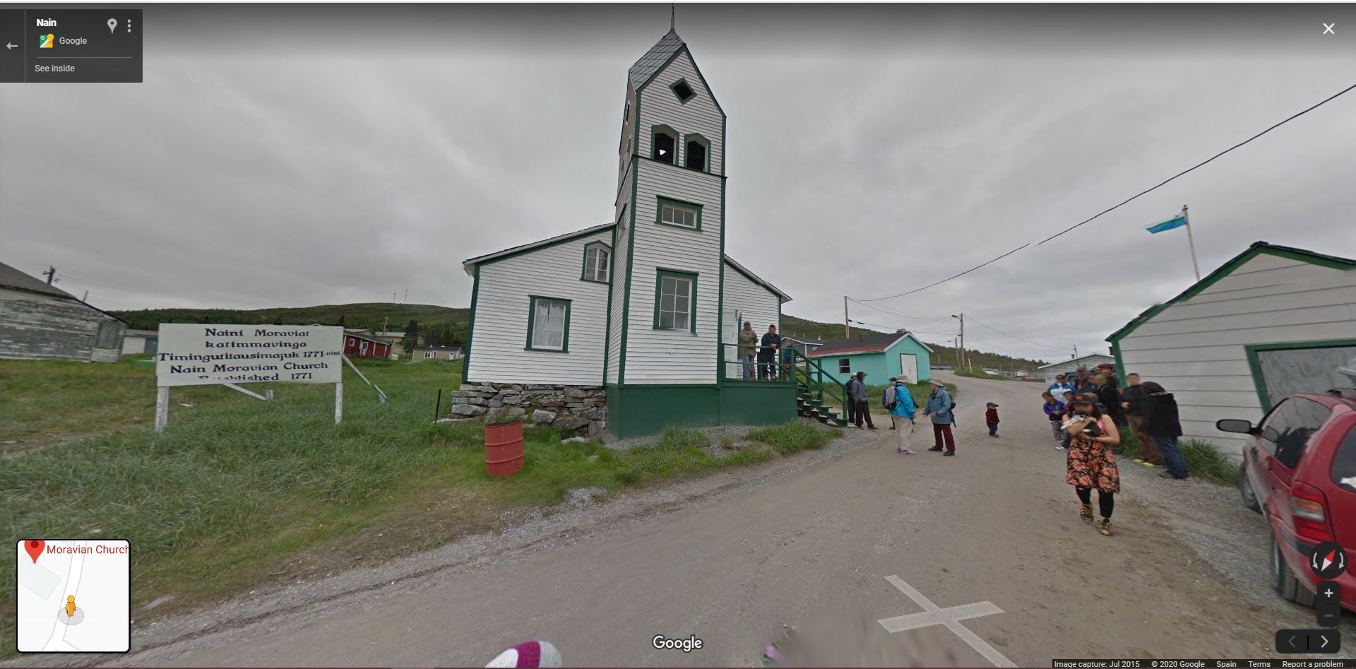
Canada

Ireland
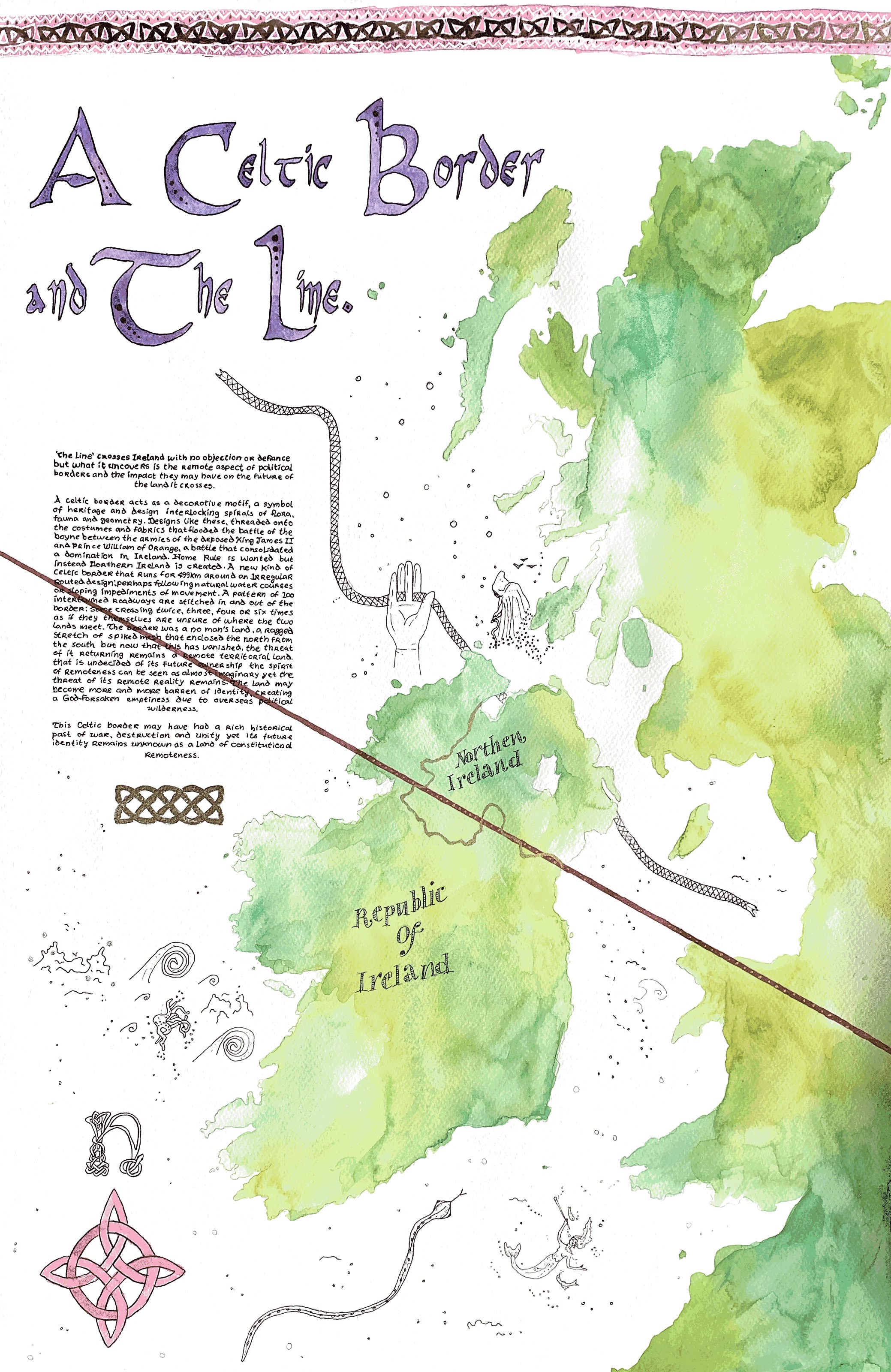
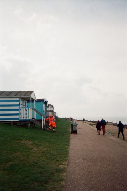
United Kingdom


France

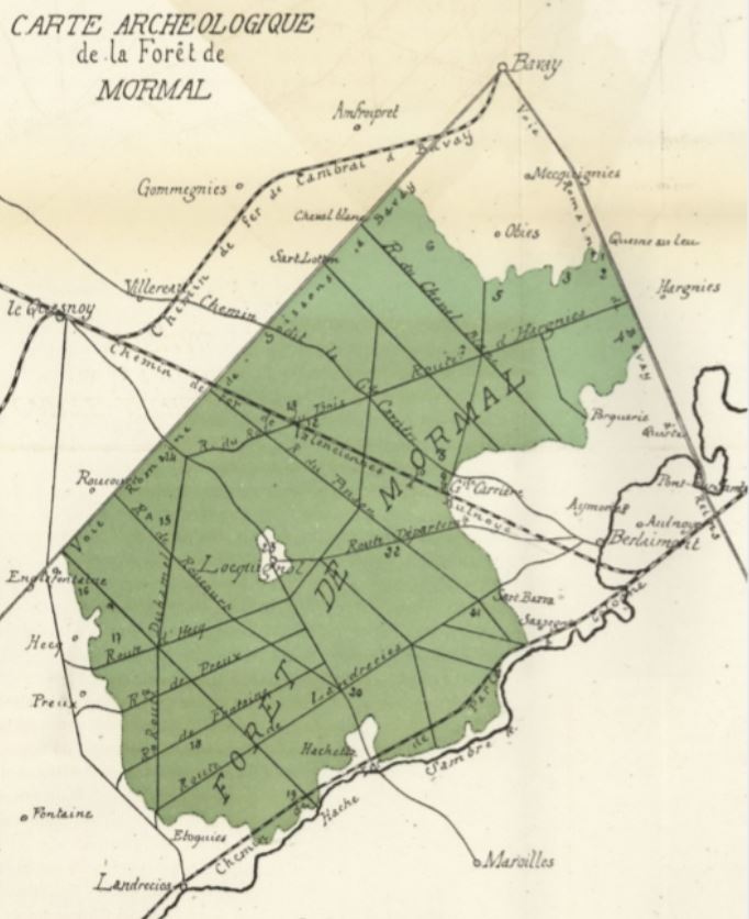
Belgium


France
Germany

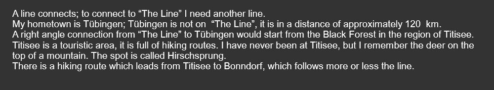
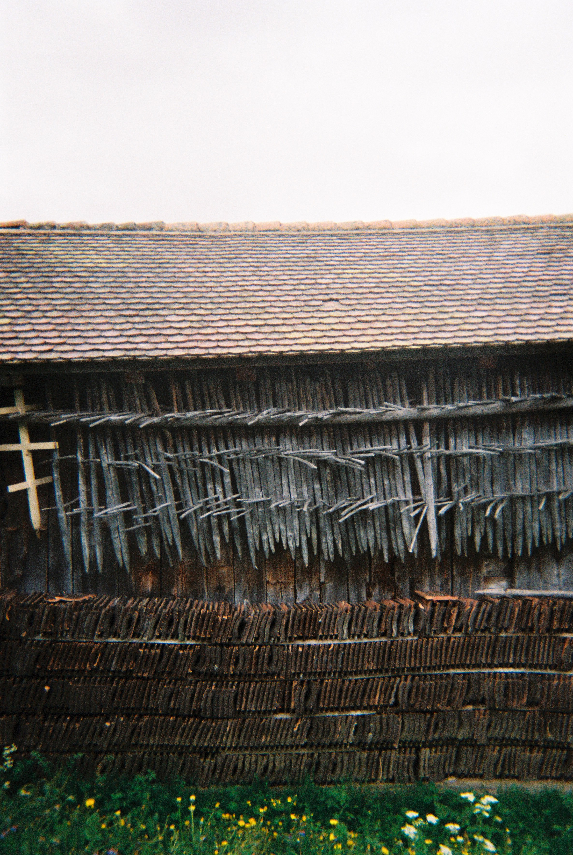
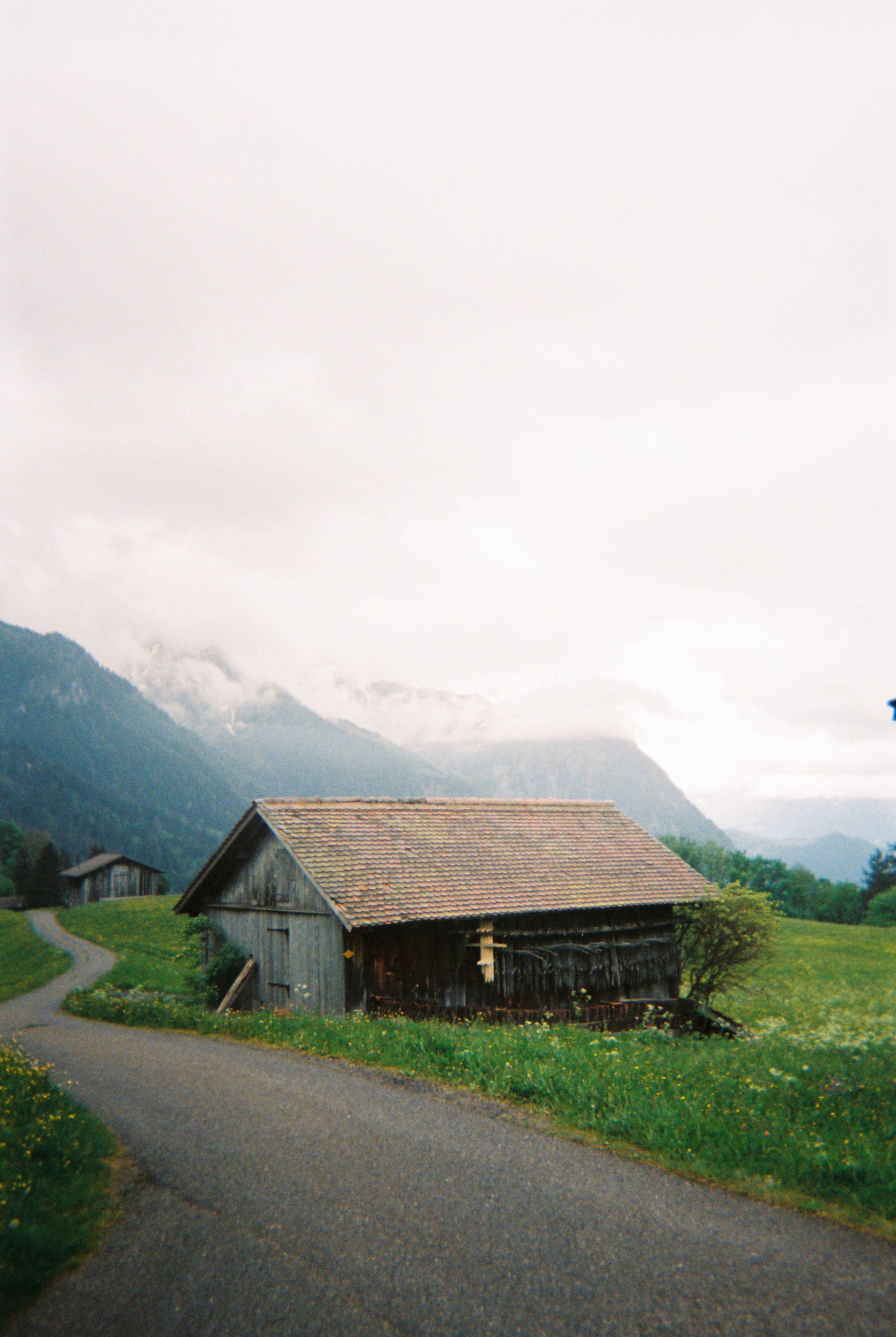
THE LINE in Germany:
- Weisweil
- Forchheim am Kaiserstuhl
- Endingen am Kaiserstuhl
- Riegel am Kaiserstuhl
- Teningen / Reute / Denzlingen
- Heuweiler
- Stegen
- Buchenbach
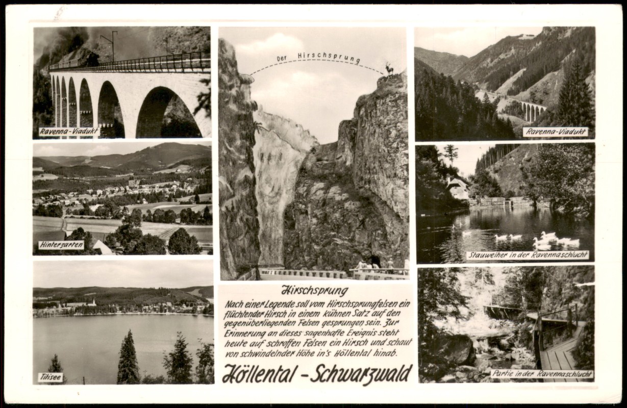
- Breitnau
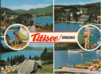
- Titisee-Neustadt
- Lenzkirch
- Bonndorf
- Stühlingen
- Schleitheim
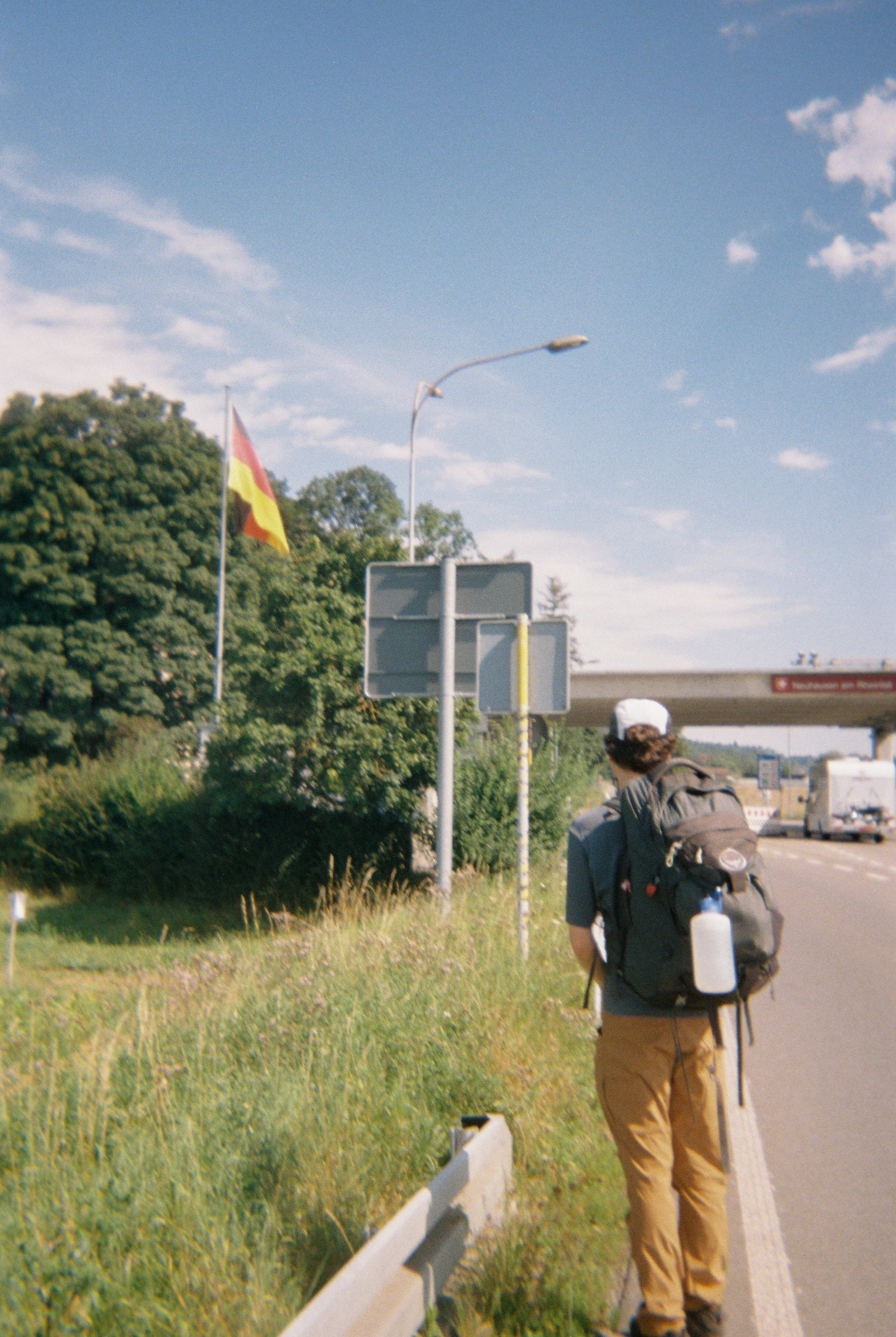
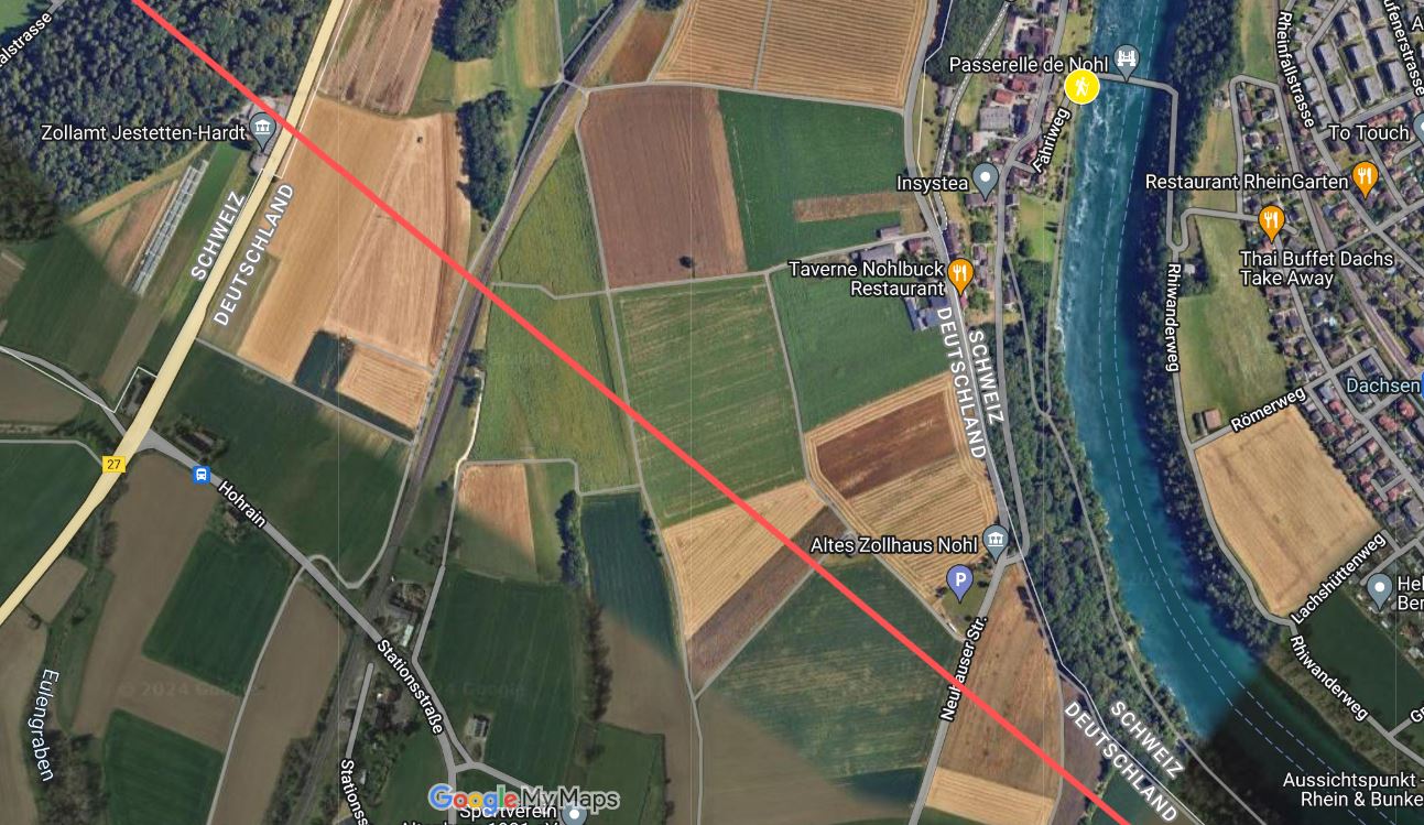
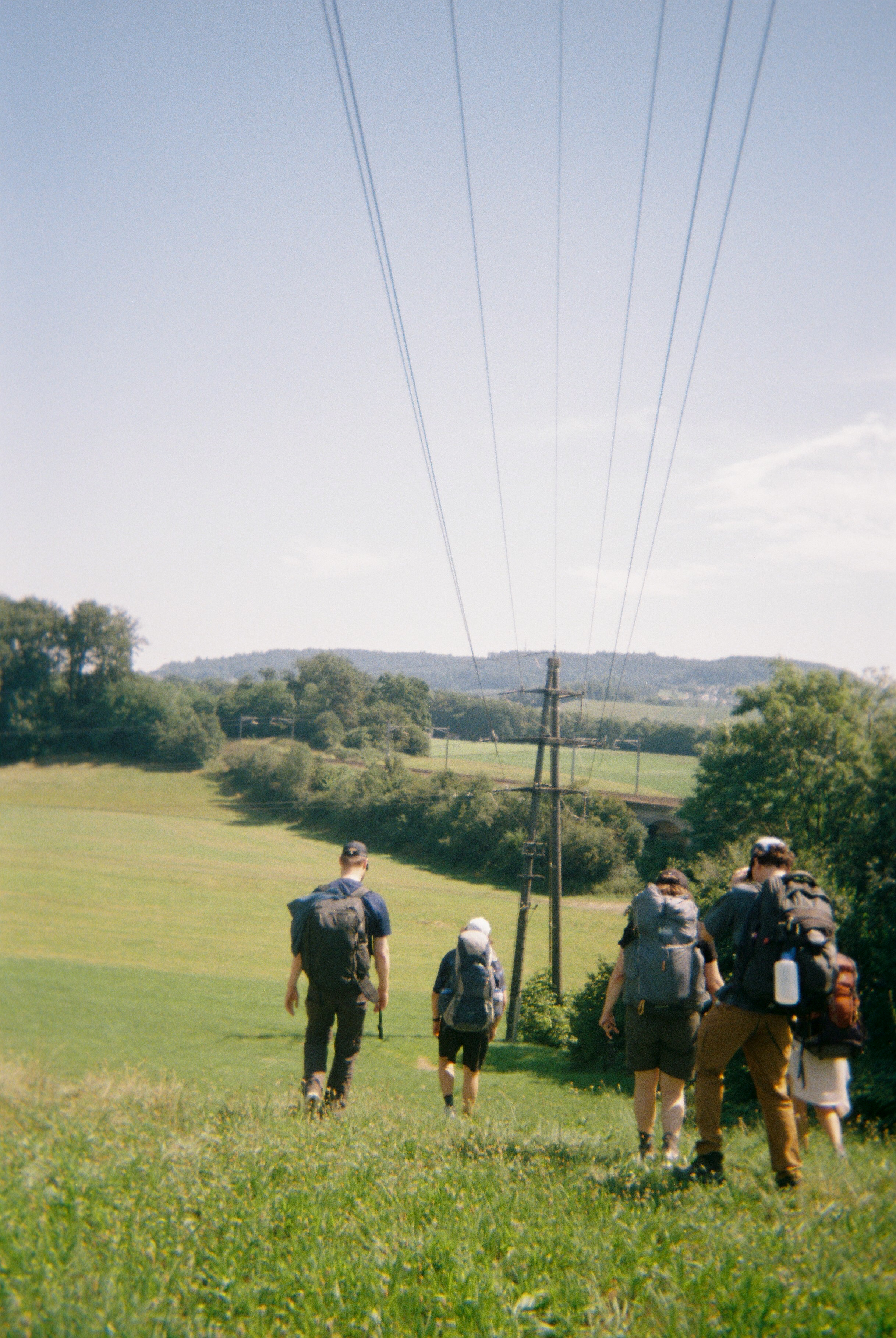
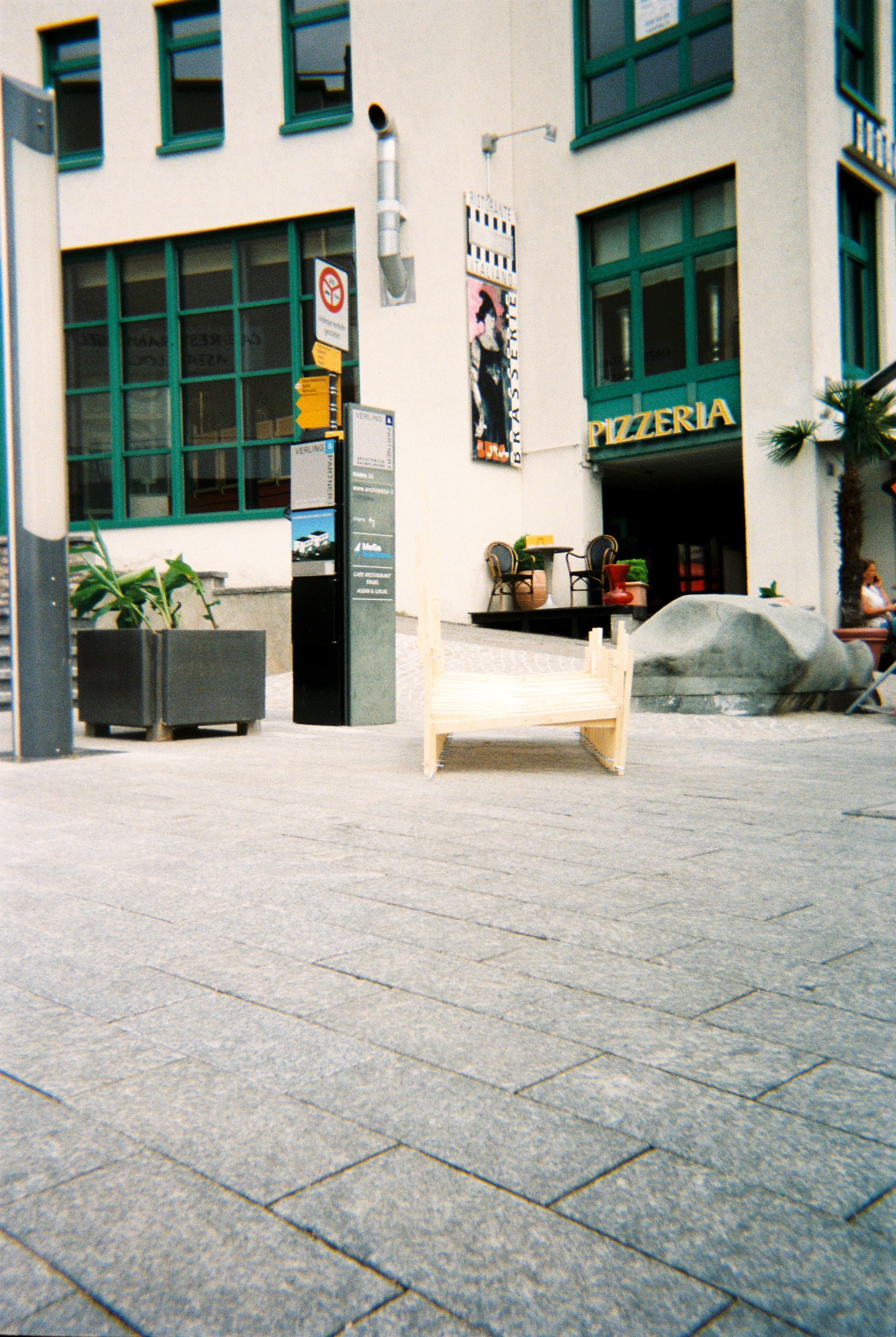
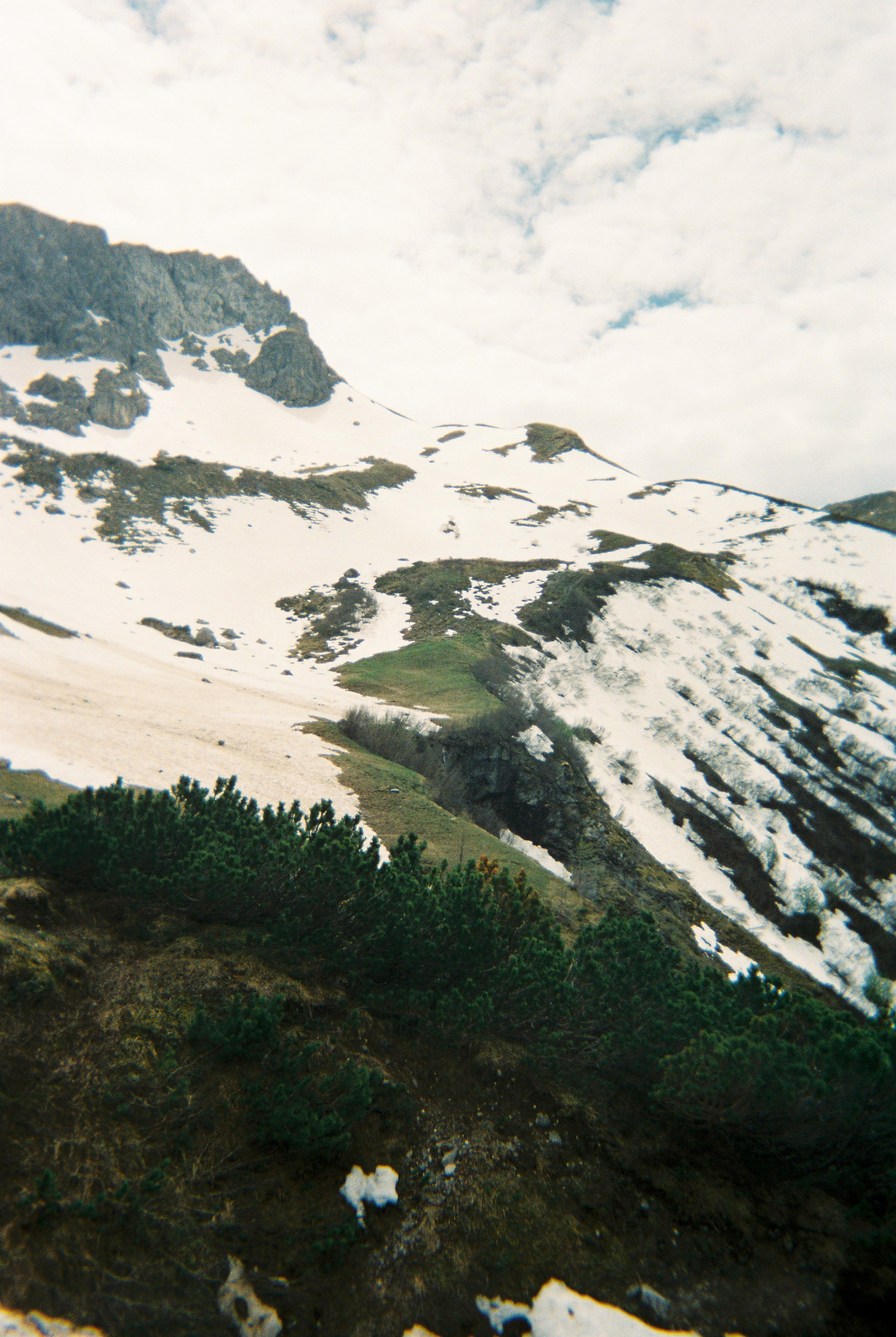
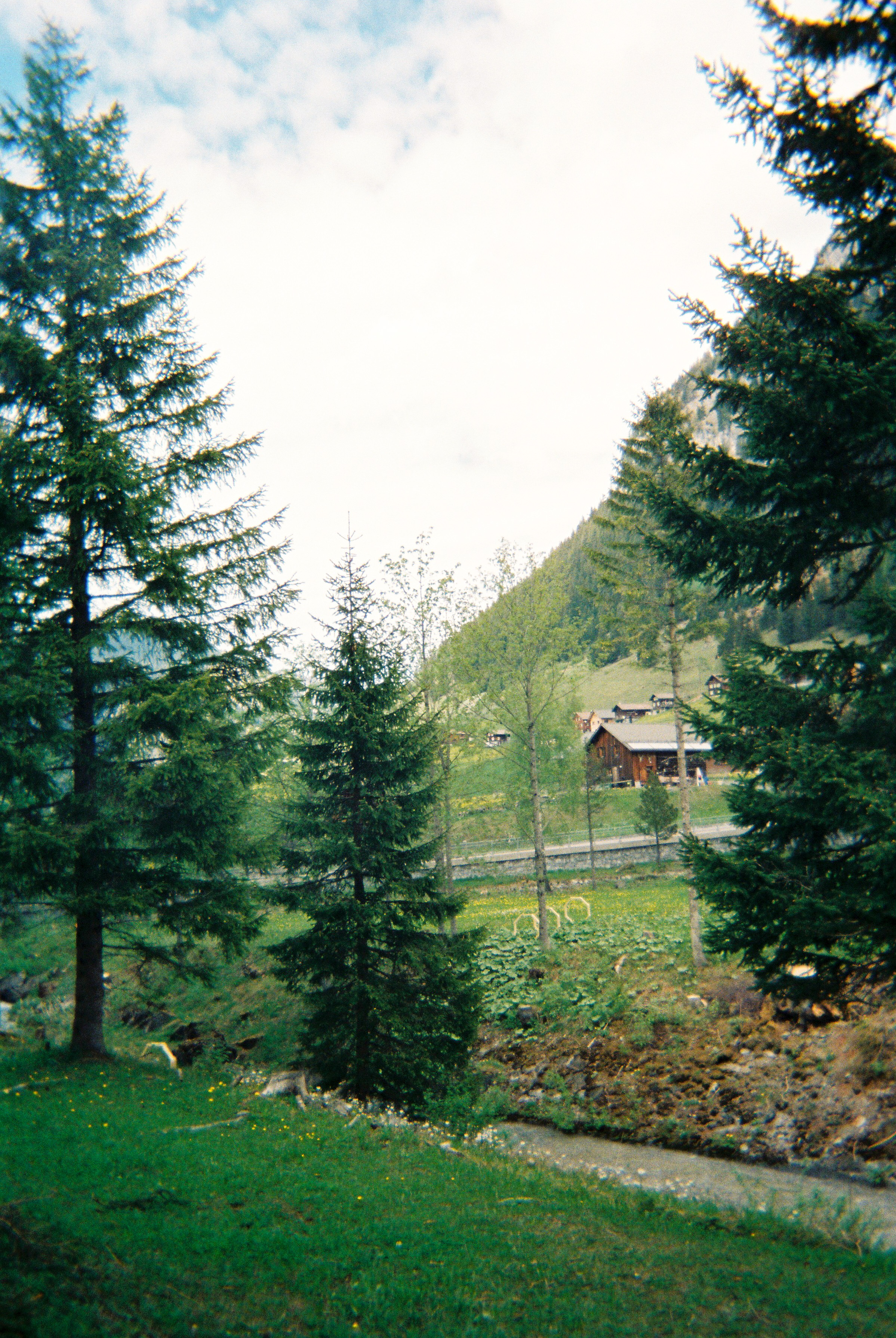
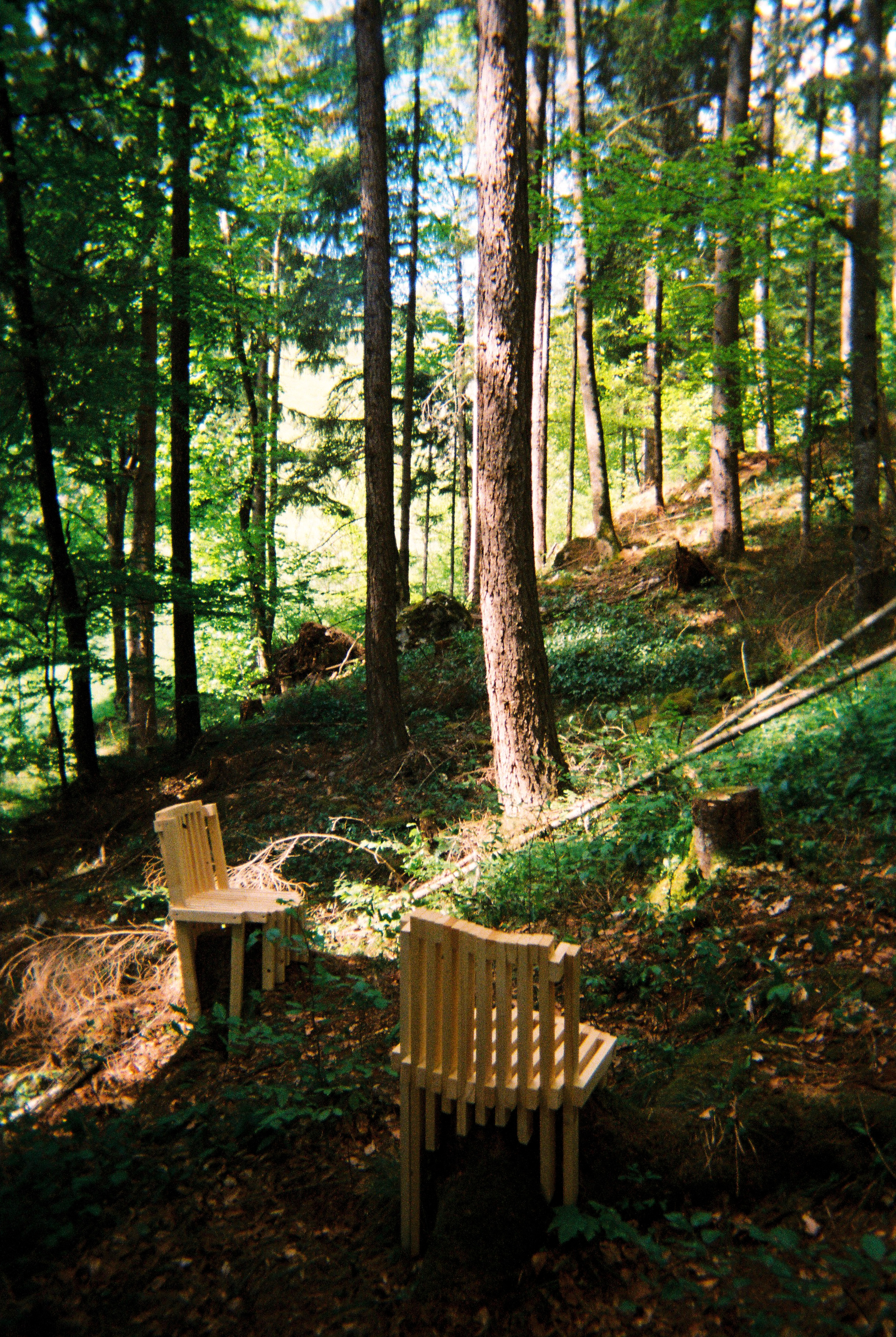
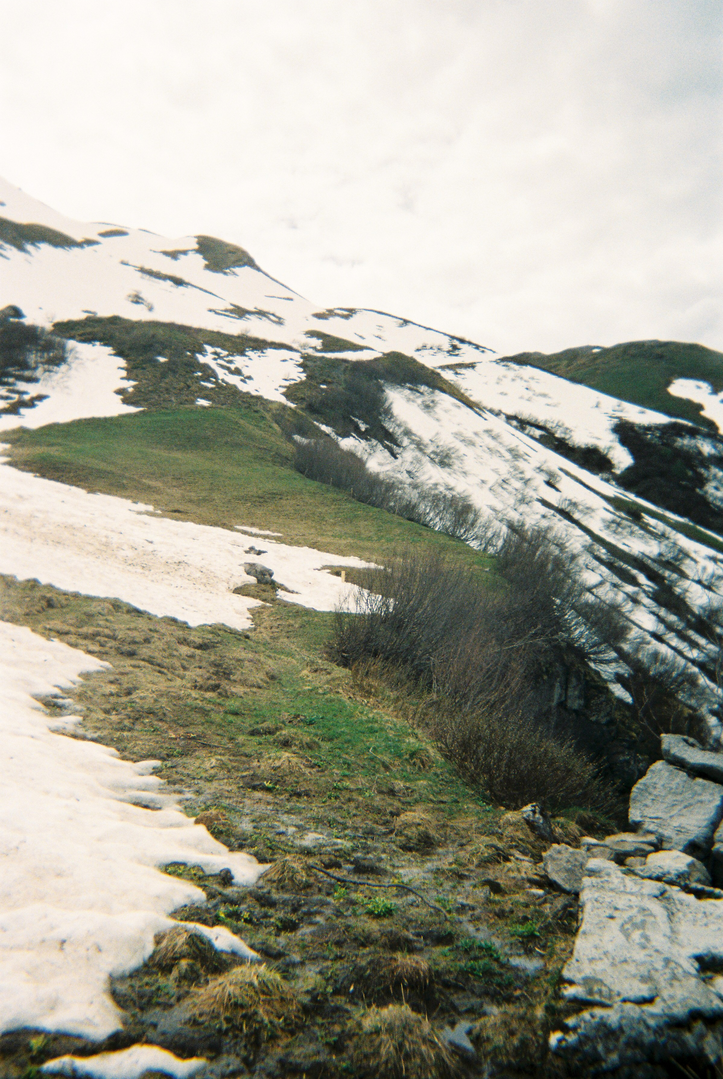
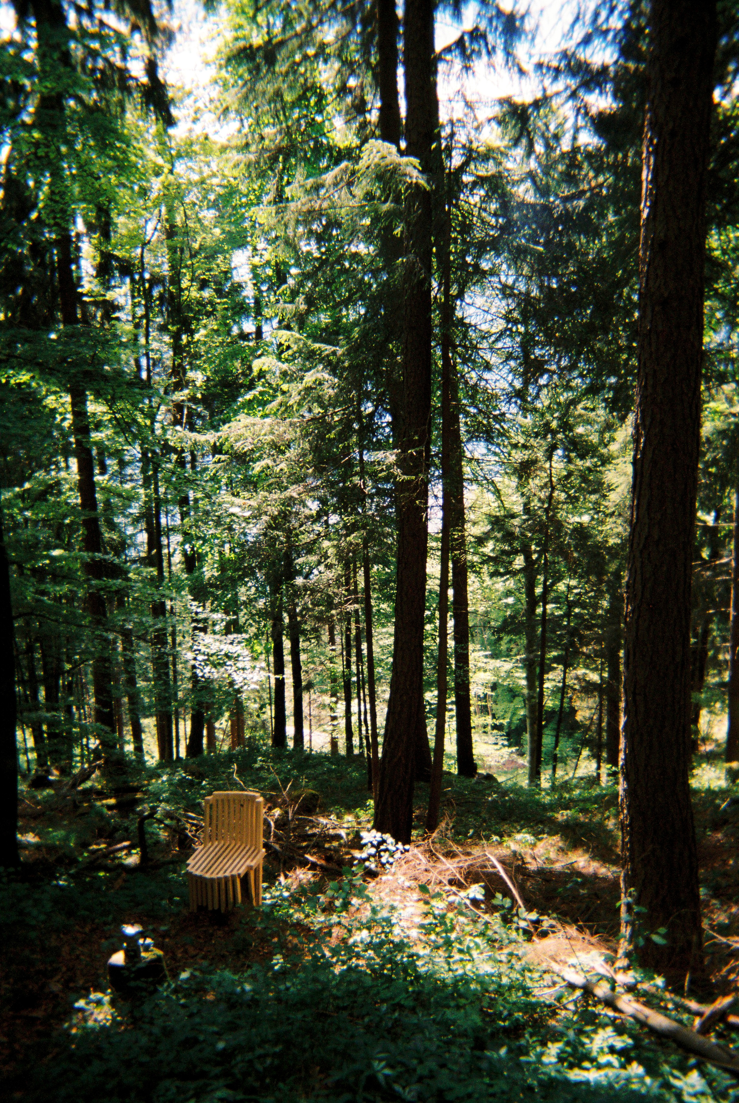
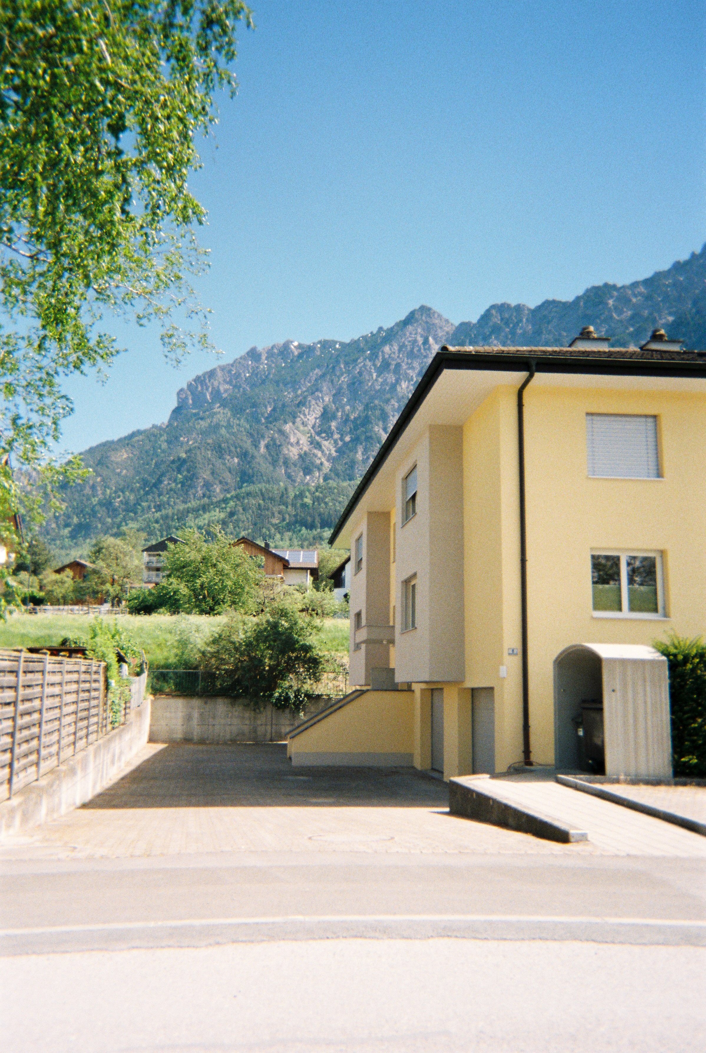
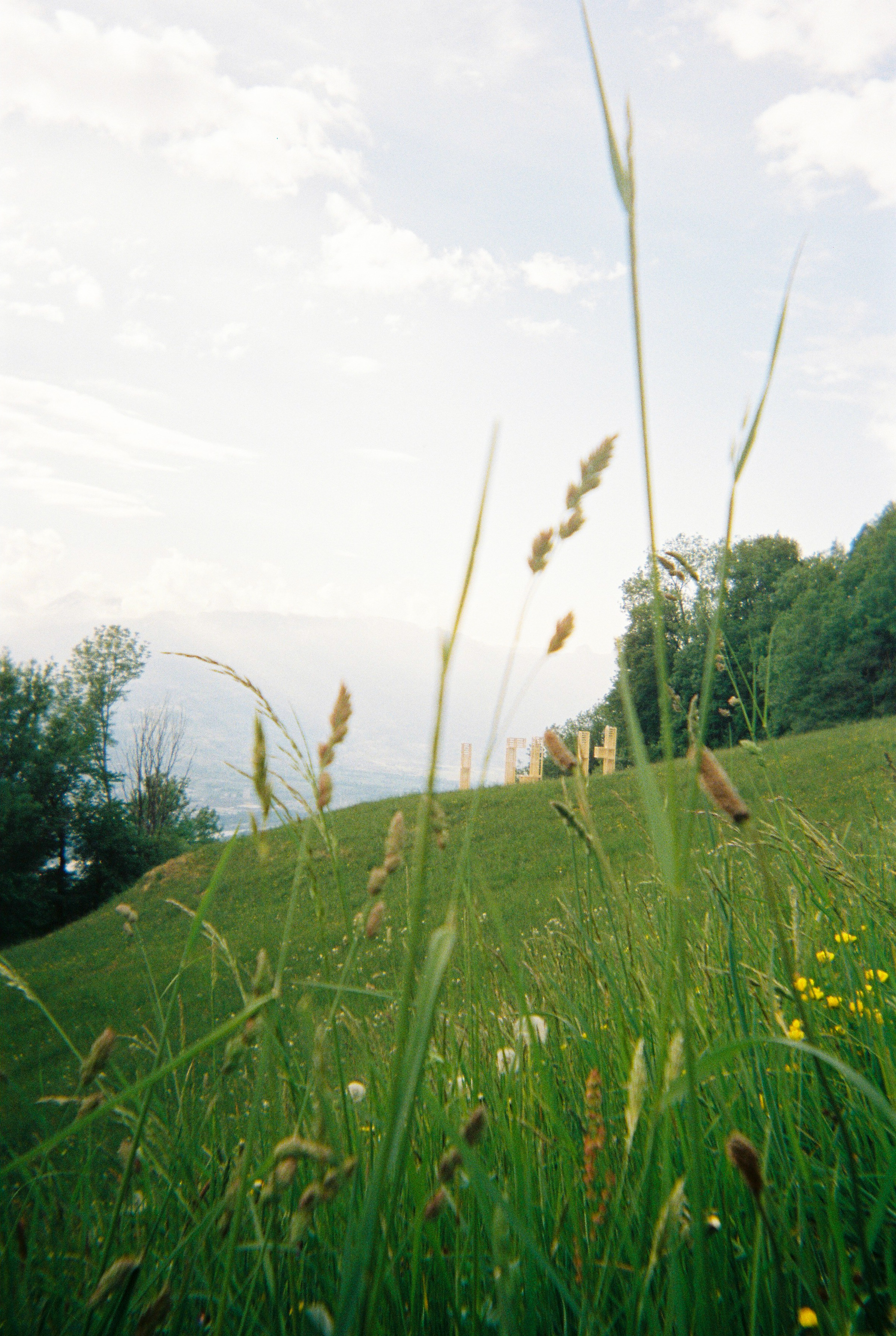
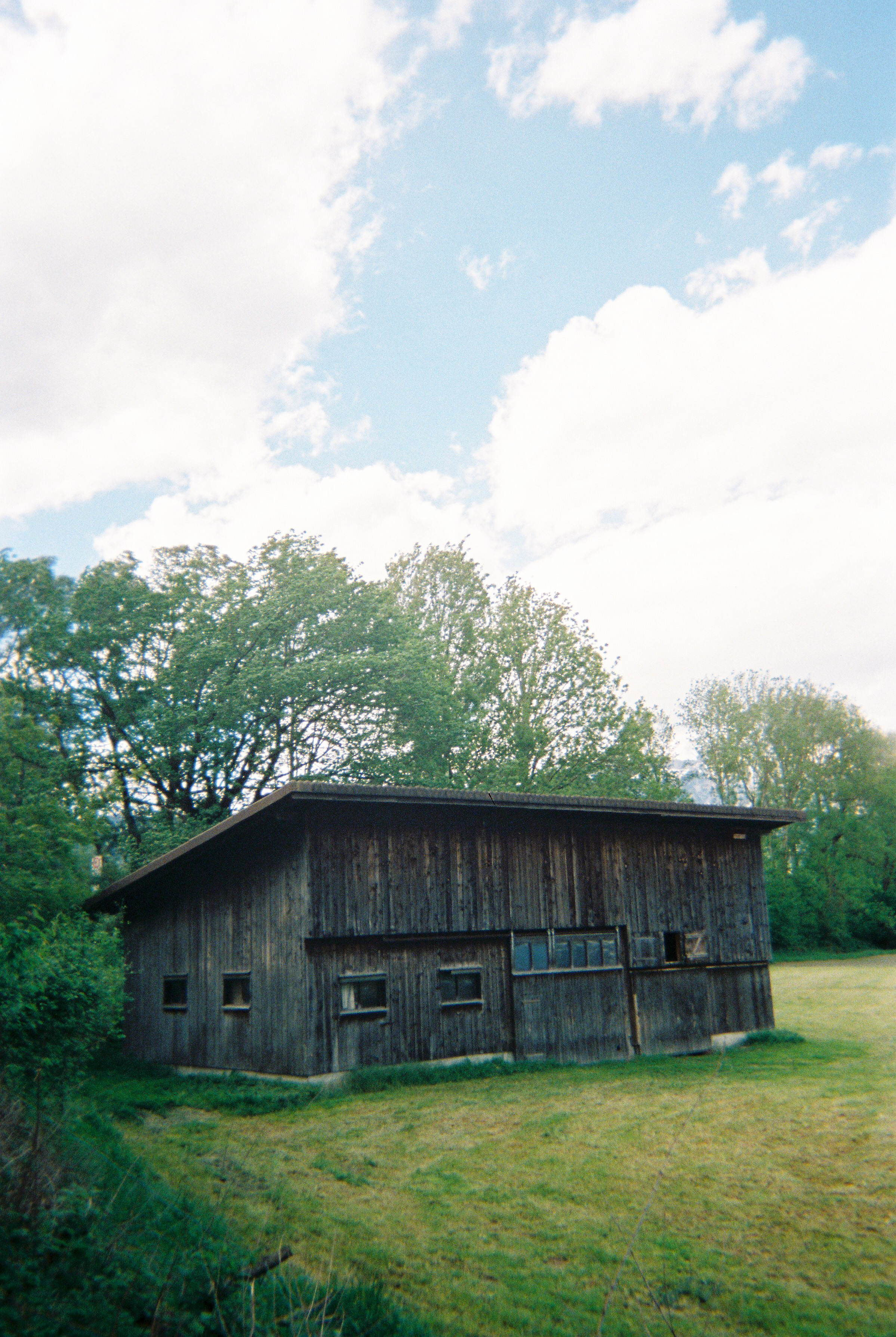
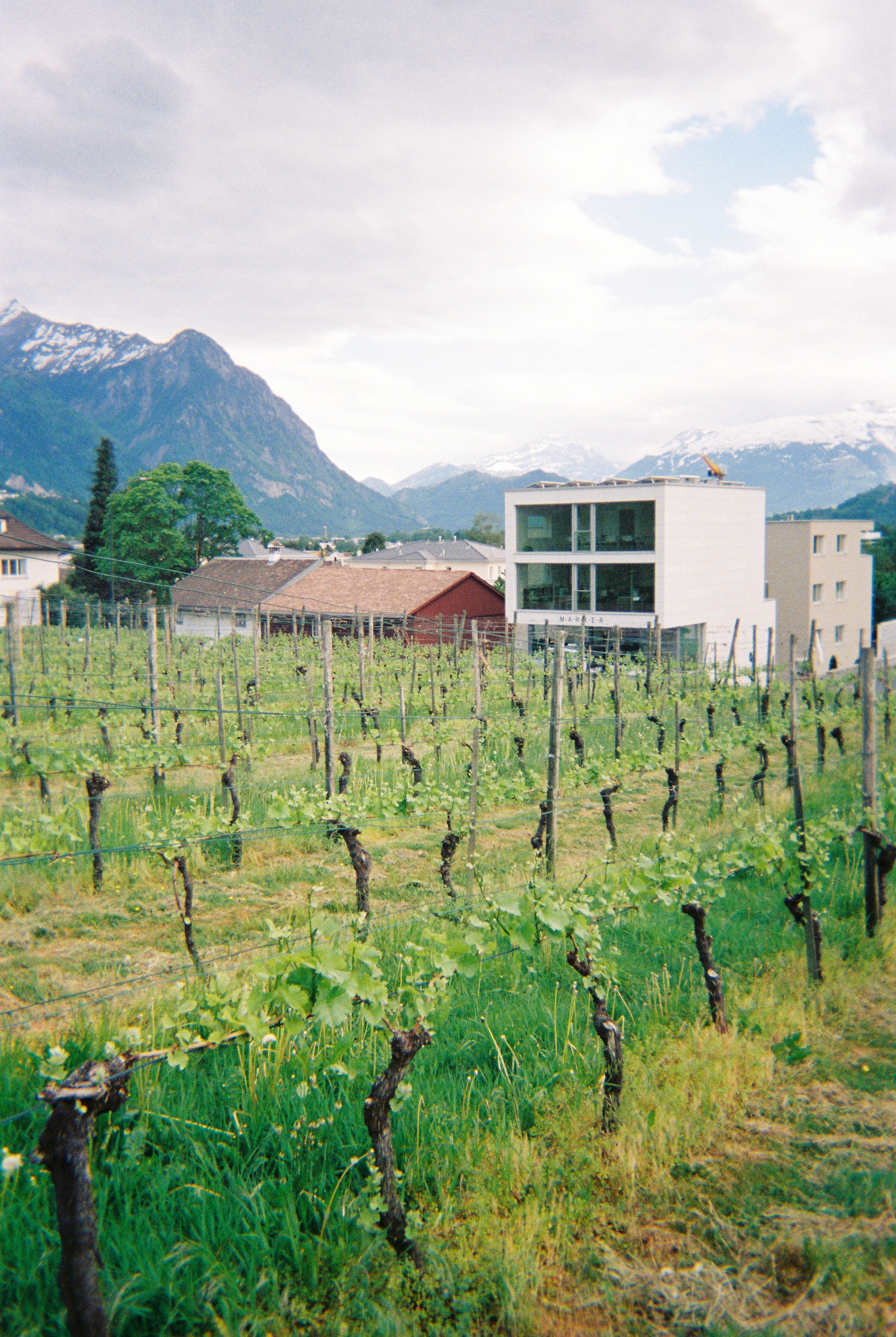
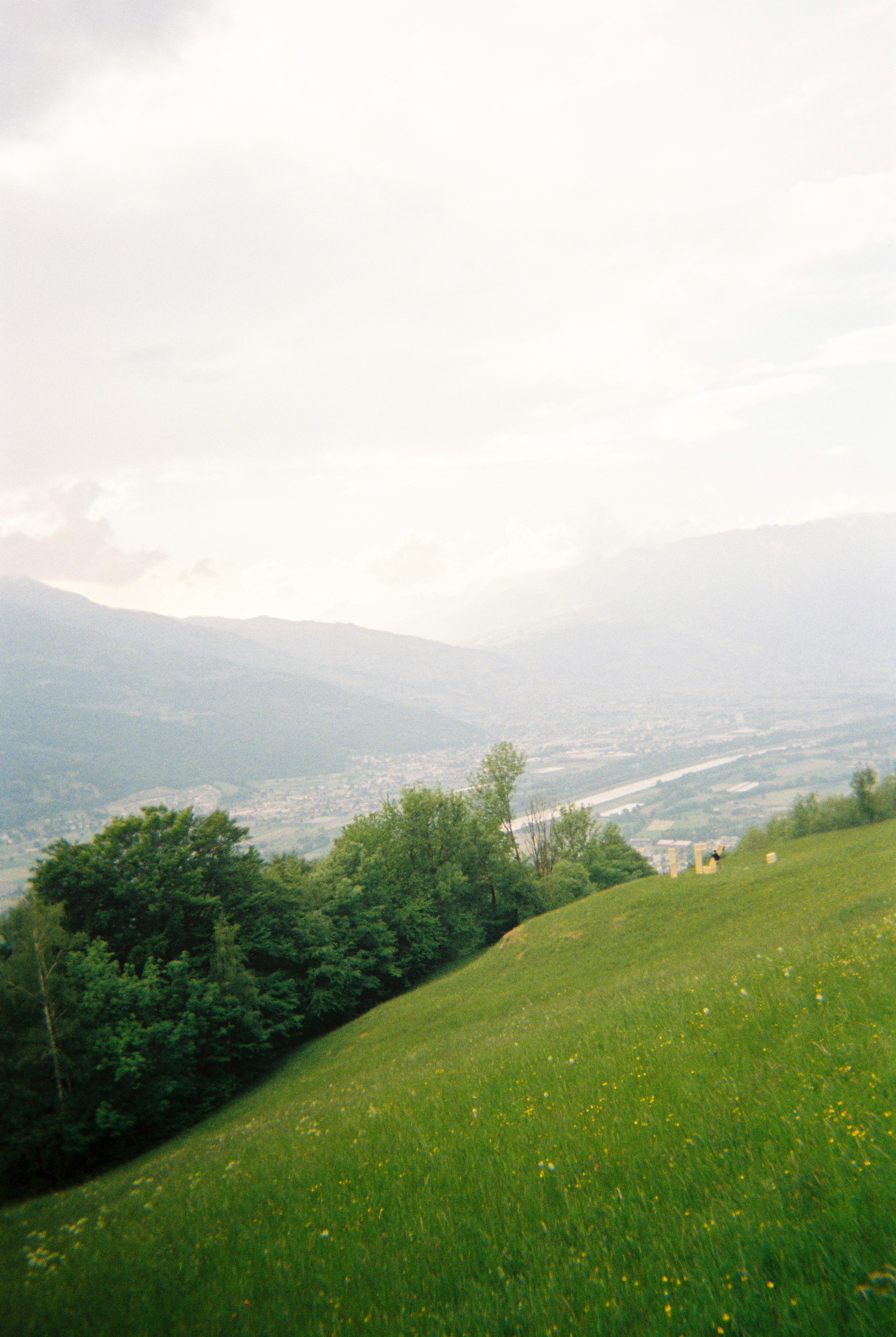
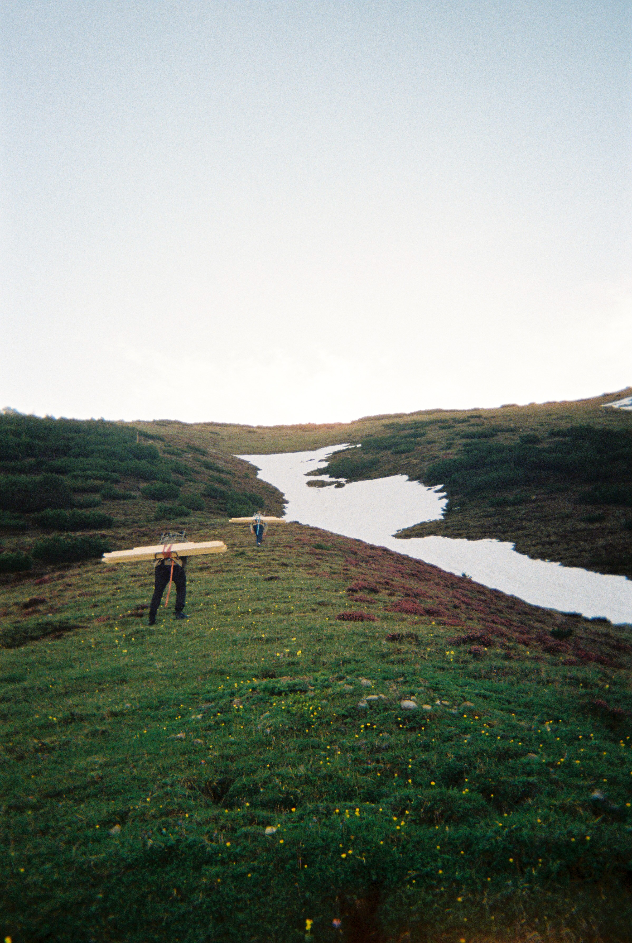
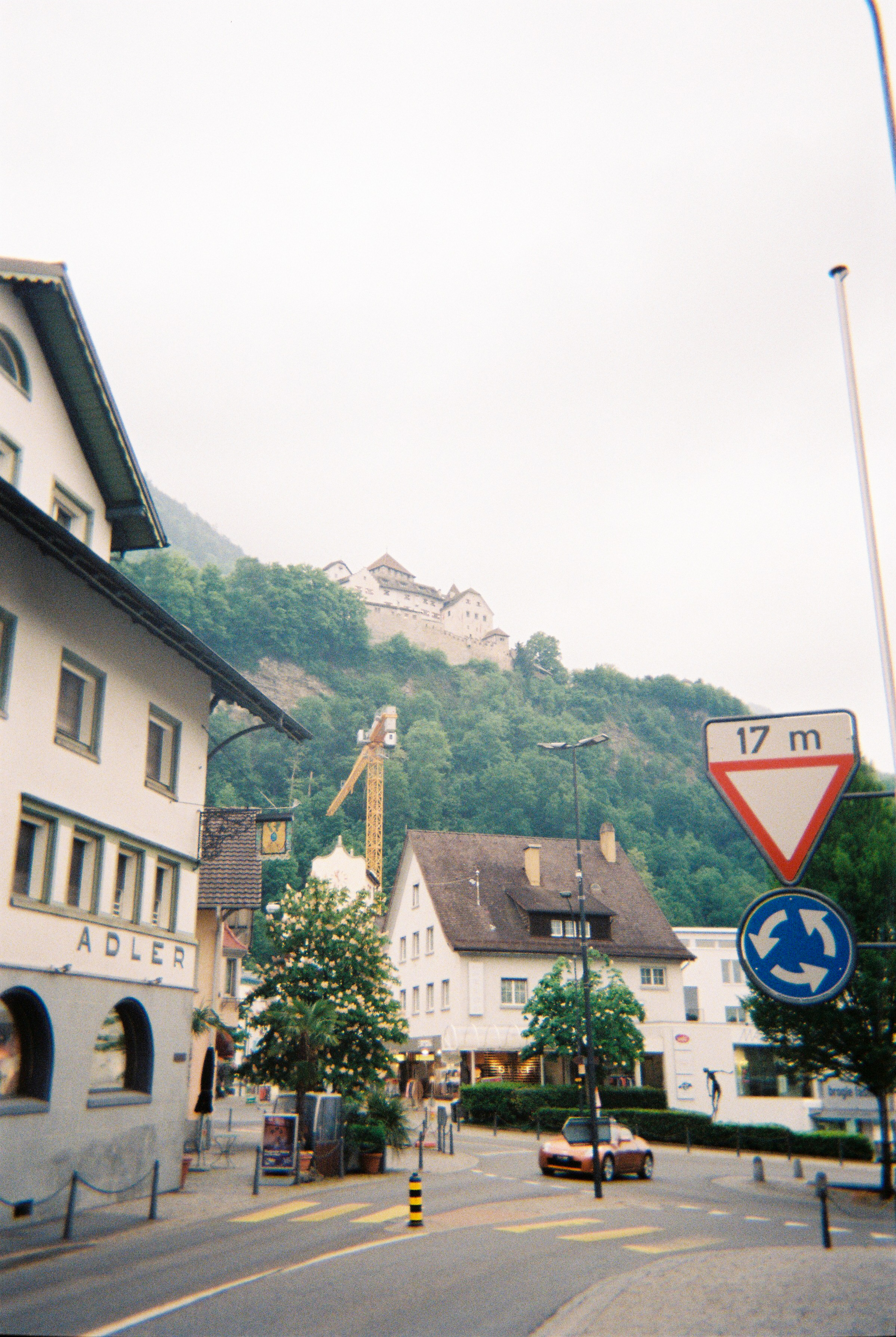
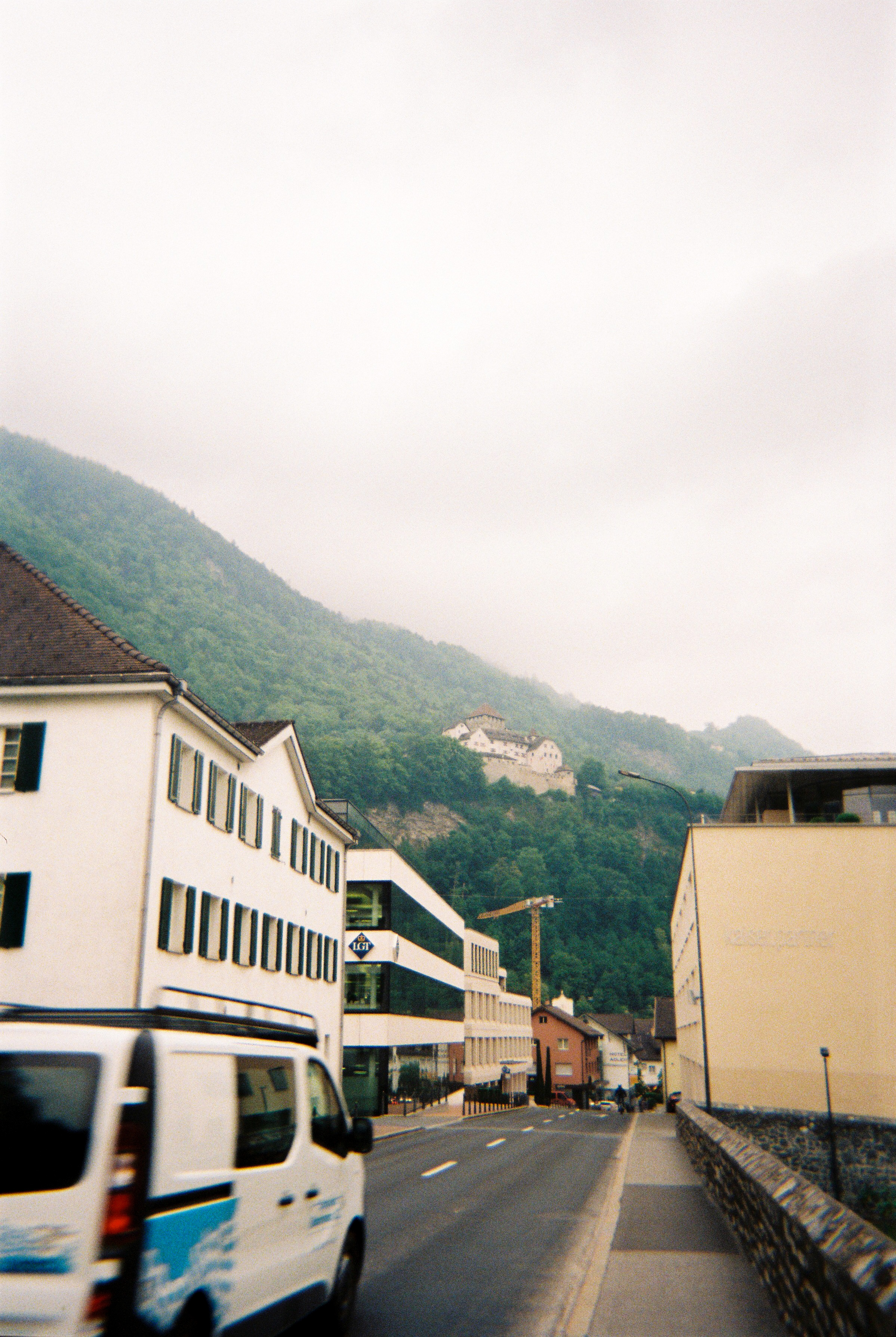
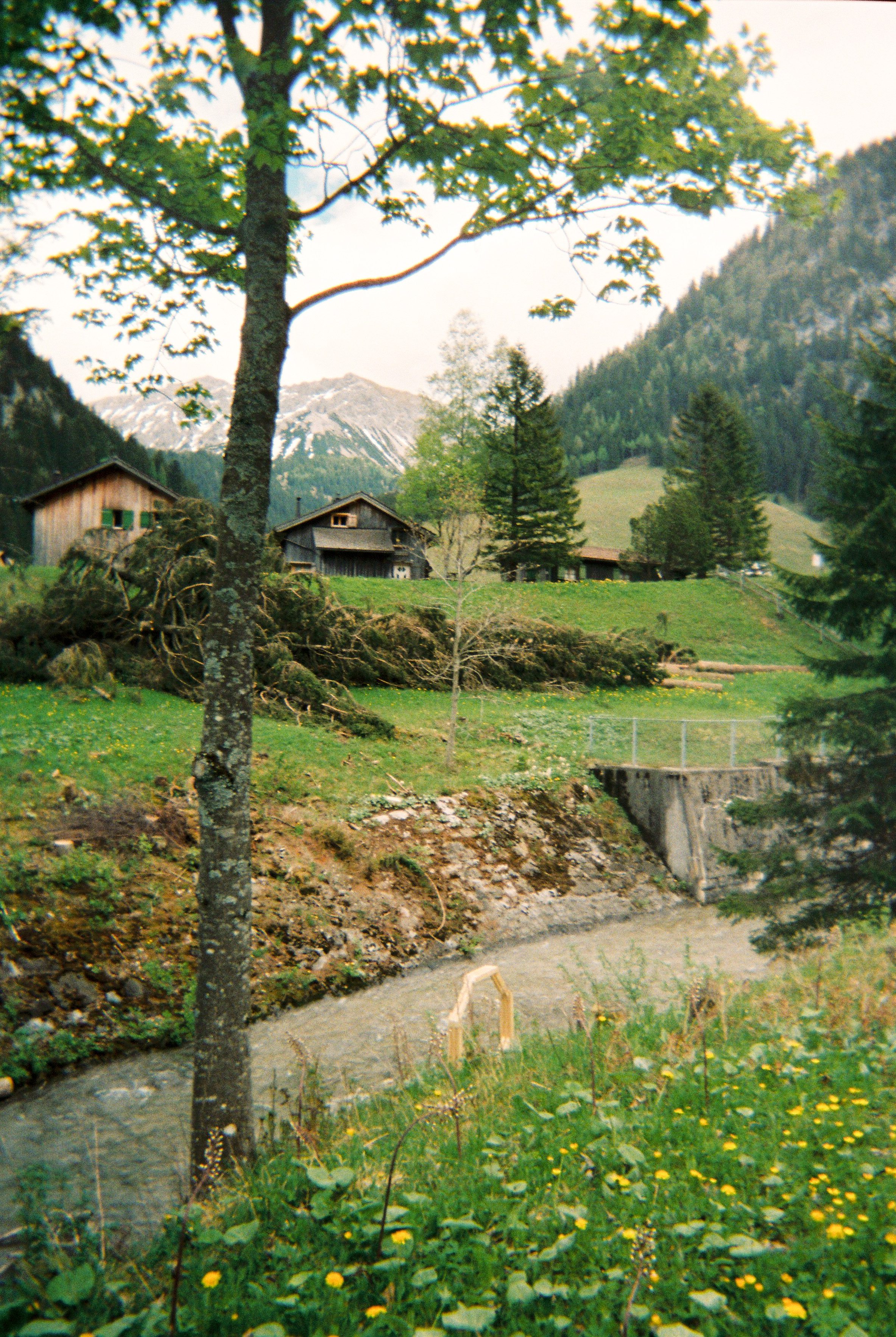
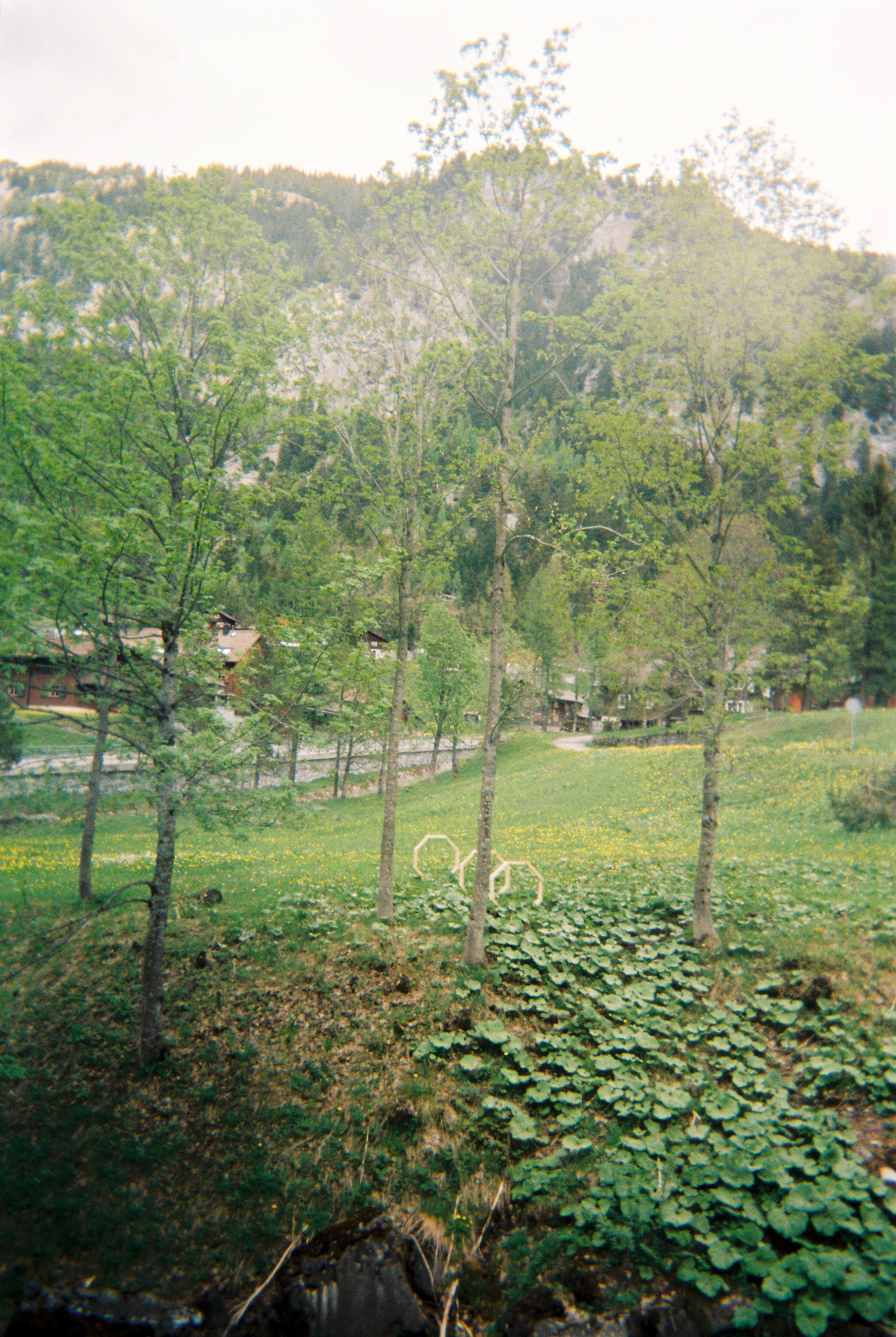
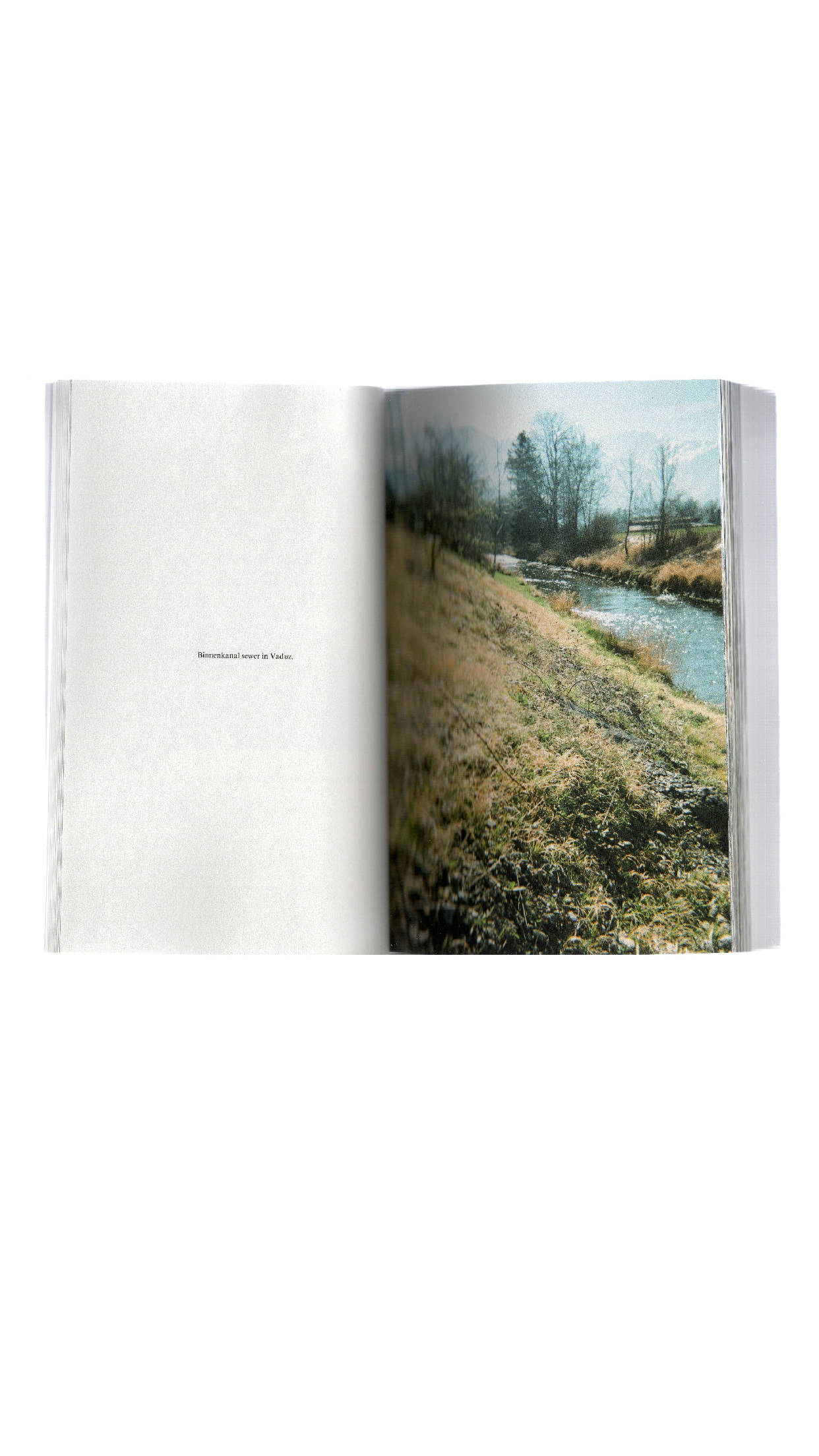
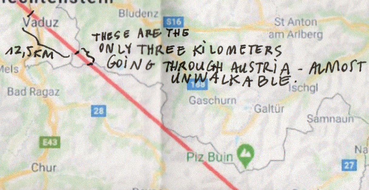
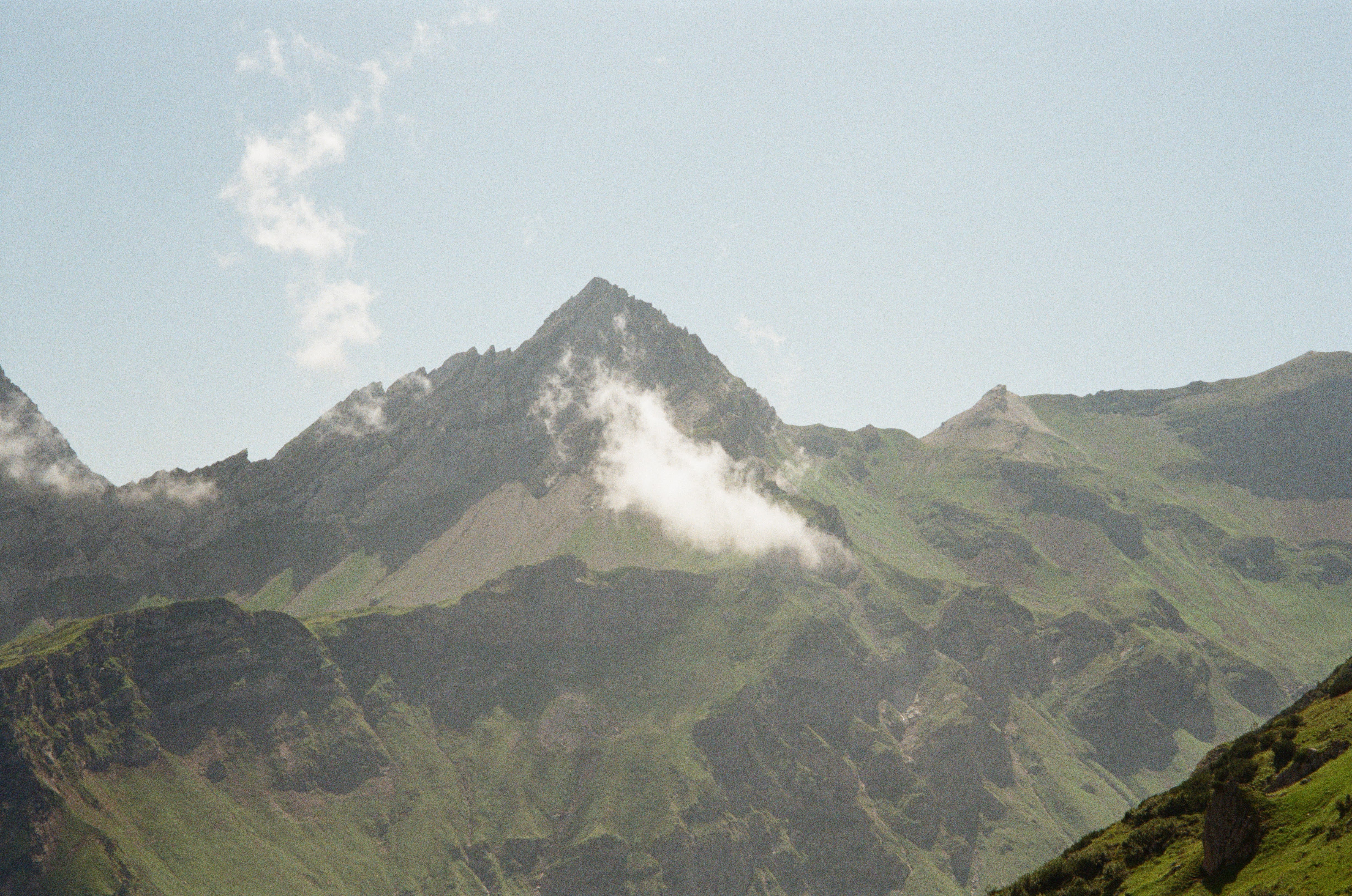
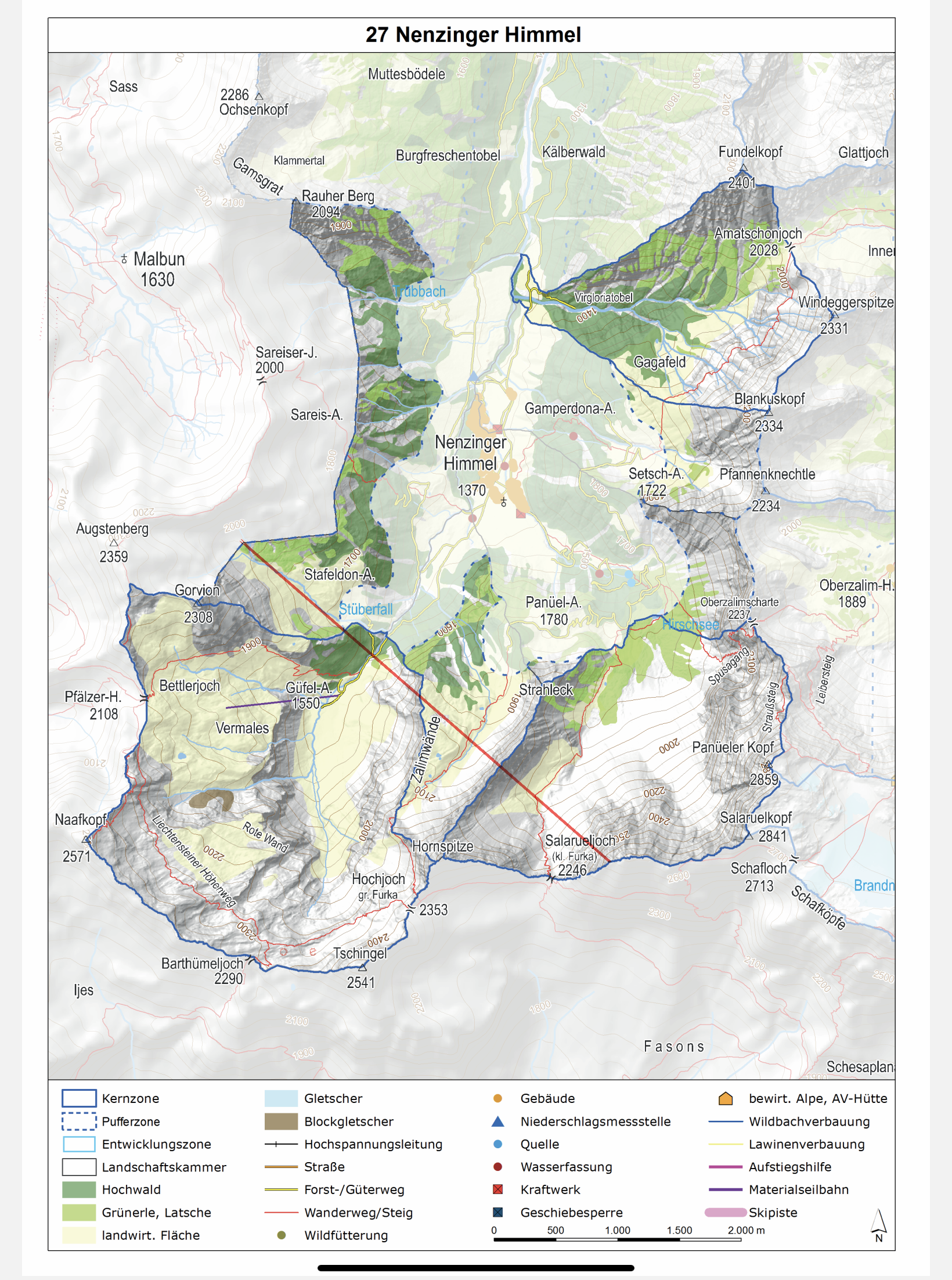
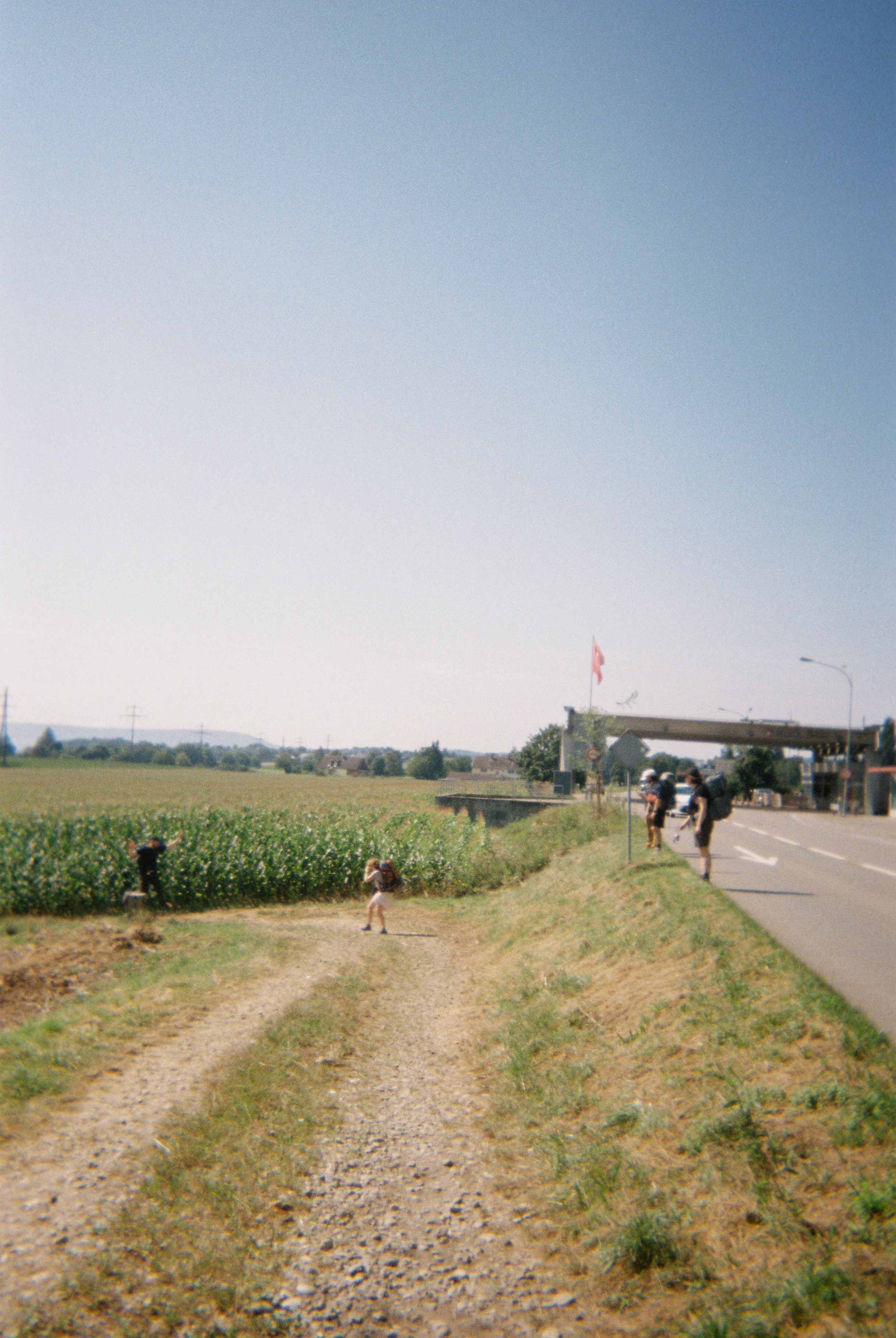
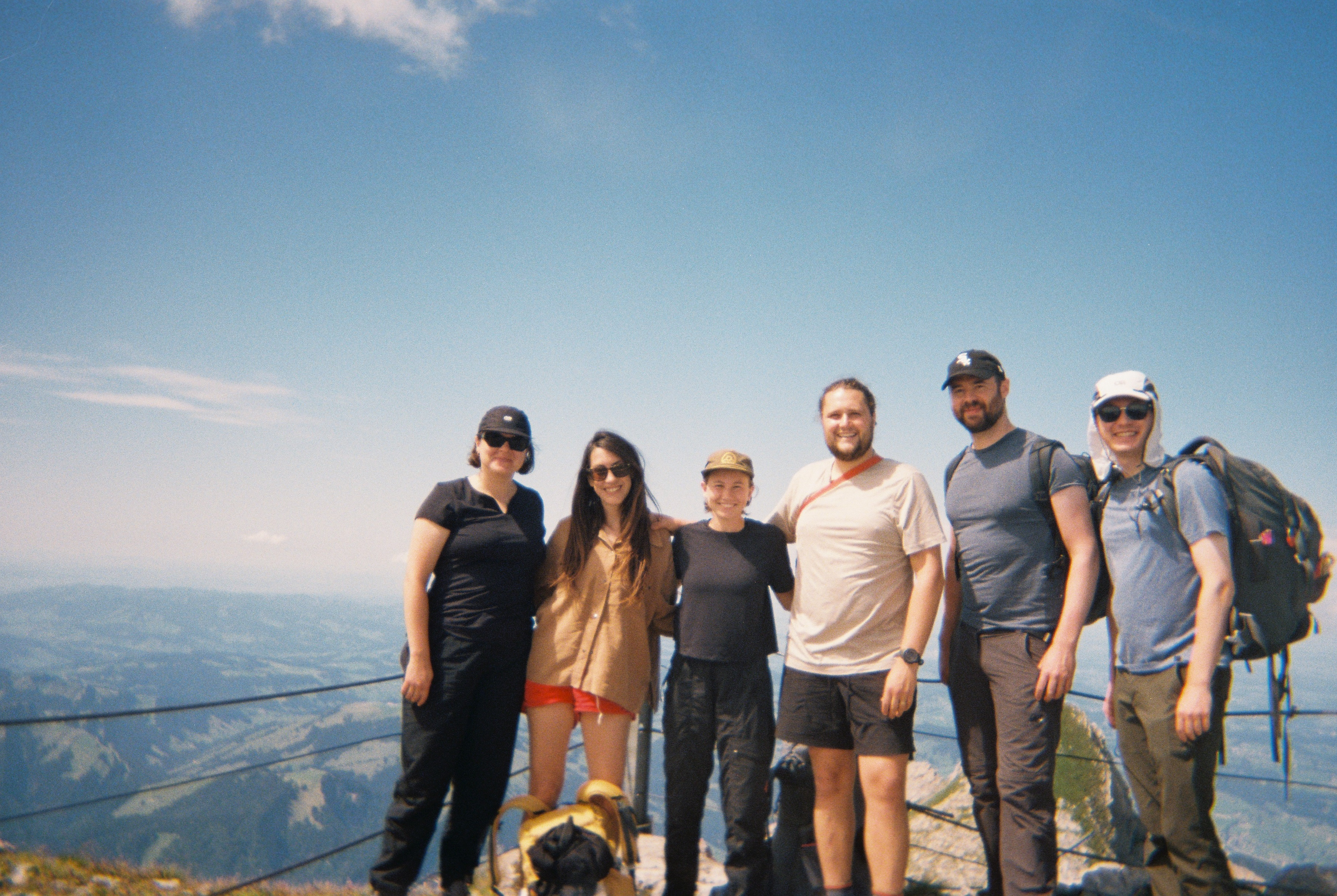
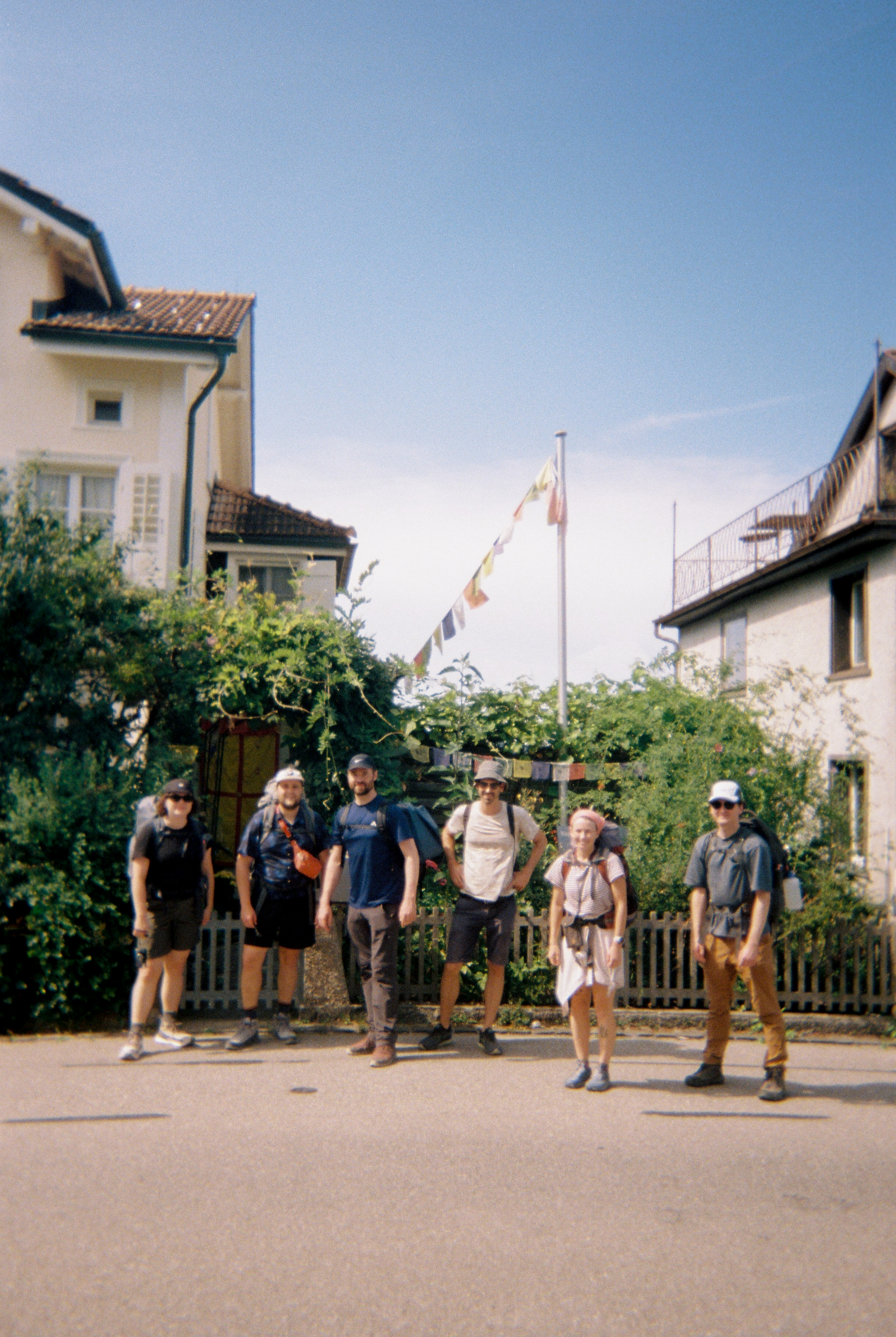
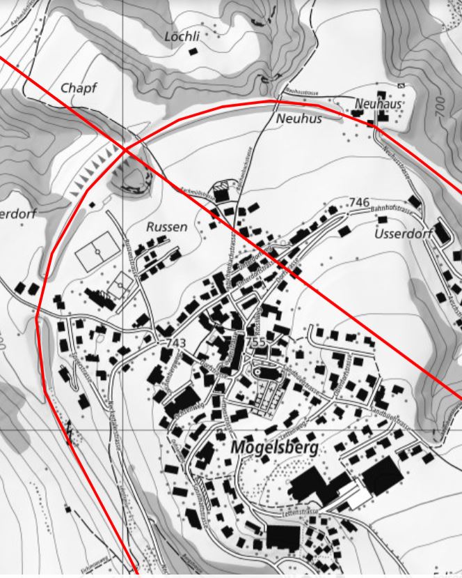
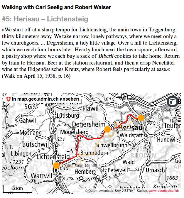
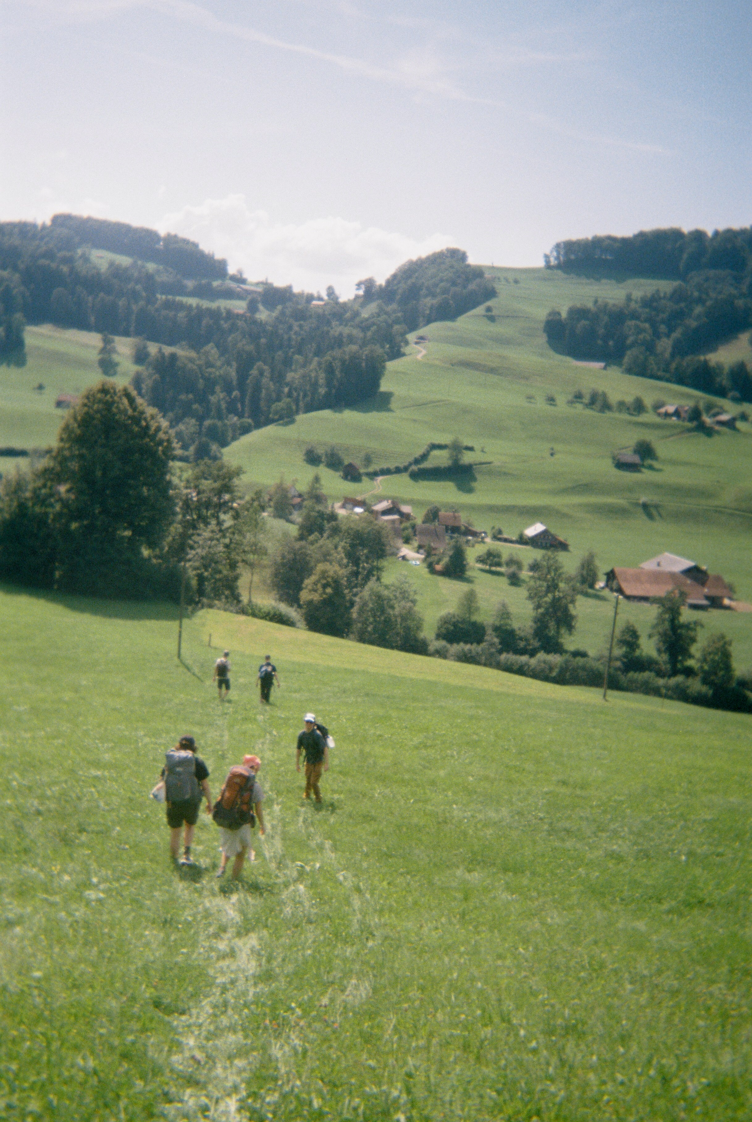
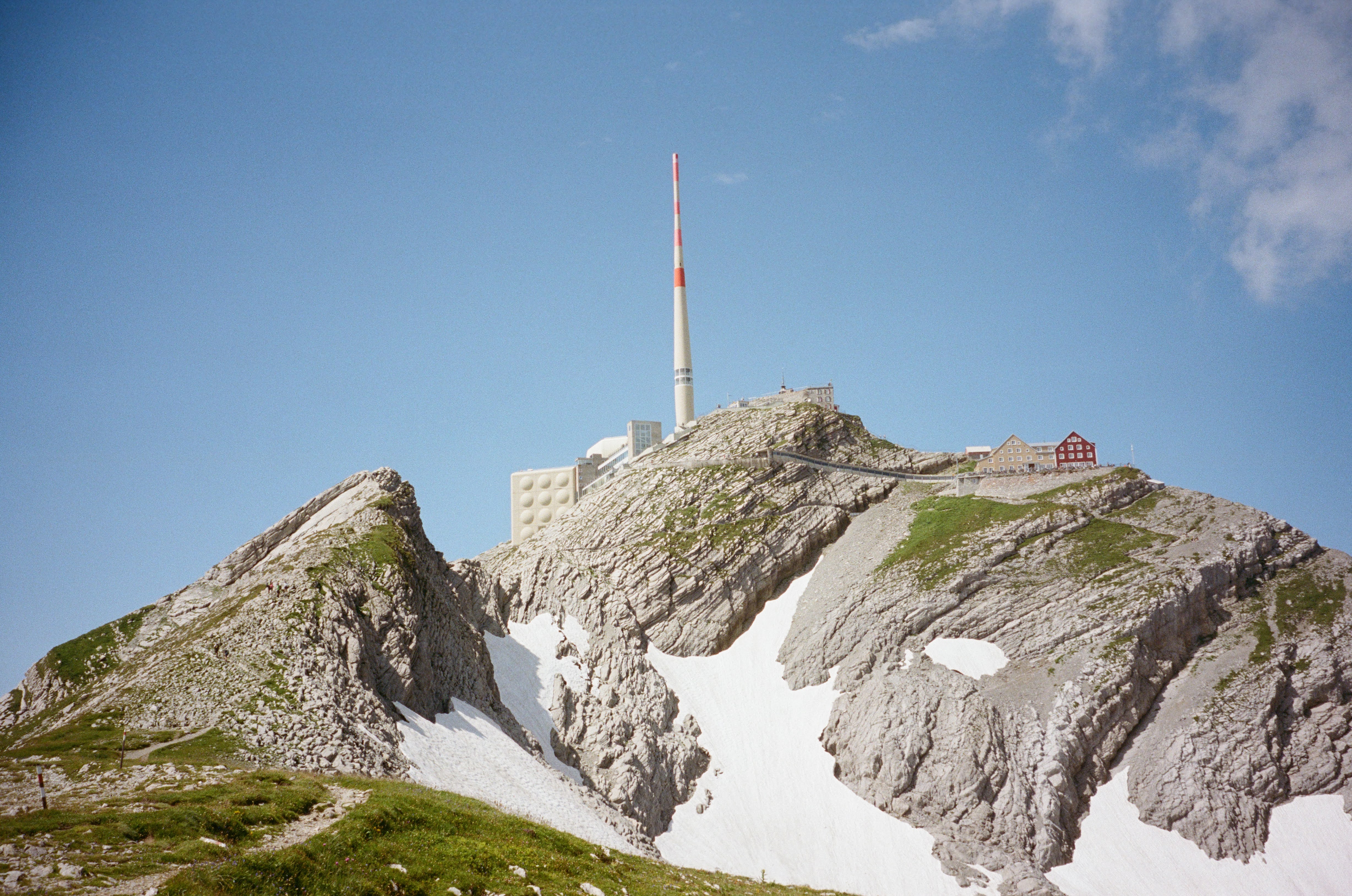
Switzerland


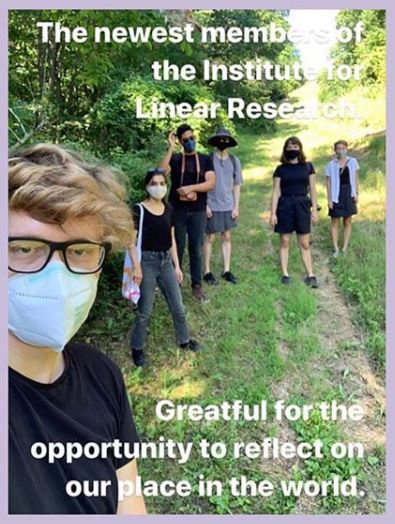
Institute for Linear Research, 2025
This project has been supported by University of Liechtenstein, Future Architecture Platform, Kulturstiftung Liechtenstein, Fürst Franz Josef von Liechtenstein Stiftung, Consorci de Museus de la Generalitat Valenciana through Cultura Online #CMCVaCasa